
Don't wanna be here? Send us removal request.
Statistics
We looked inside some of the posts by colin-ross and here's what we found interesting.
Average Info
Notes Per Post
1
Likes Per Post
0
Reblog Per Post
1
Reply Per Post
0
Time Between Posts
5 days
Number of Posts By Type
Text
17
Last Seen Tumblr Blogs


Fun Fact
Premium Tumblr themes are available from anywhere between $9 to $49.
Text
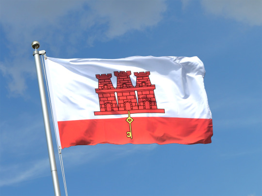
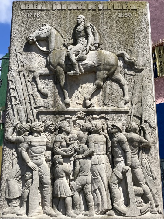
Gibraltar is a British Overseas Territory, so does not count as a country for my travel list - although if I was working to the FIFA list it would count!
It has a bit of a rocky history, see what I did there. There is evidence of human inhabitation from around 50,000 years ago and that the Phoenicians were present for several centuries since around 950 BC, followed by the Carthaginians and the Romans. Gibraltar was under the control of the Vandals following the fall of the Western Roman Empire and then formed part of the Visgothic Kingdom of Hispania from 414 until 711.
The Moors arrived in 711 and their occupation of Gibraltar lasted until 1309 and then again from 1333 to 1462, a total of 727 years. Gibraltar is thought to have been the the location for the start of the Moorish conquest of Iberia led by Tarik ibn Ziyad and Musa ibn Nusayr. The Almohads founded a watchtower in 1160 and the peninsula switched control between the Nasrids, Castilians and Marinds in the late middle ages.
In 1462, Gibraltar was captured by Juan Alonsa de Guzman from the Emirate of Granada. After the conquest, Henry IV of Castile assumed the additional title of King of Gibraltar. Six years later, Gibraltar was restored to the Duke of Medina Sidonia, who sold it in 1474 to a group of 4,350 Christian converts from Judaism in exchange for maintaining the garrison of the town for two years, after which time they were expelled, returning to their home towns or moving on to other parts of Spain. In 1501, Gibraltar passed back to the Spanish Crown. In 1540 Gibraltar was captured and ransacked by the Ottomans.
In 1704, during the War of Spanish Succession Gibraltar was seized by and Anglo-Dutch fleet on behalf of Archduke Charles of Austria. The Treaty of Utrecht in 1713 ceded control of Gibraltar to Britain to secure Britain's withdrawal from the war. Unsuccessful attempts by Spanish monarchs to regain Gibraltar were made, with the siege of 1727 and the Great Siege between 1779 and 1783.
Gibraltar's strategic location was very important during the Napoleonic Wars, and again during both World Wars.
In the 1950s, Franco renewed Spain's claim to sovereignty over Gibraltar and restricted movement between Gibraltar and Spain. Gibraltarians voted overwhelmingly to remain under British sovereignty in the 1967 Gibraltar Sovereignty Referendum.
In the early 2000s, Britain and Spain were in negotiations over a potential agreement that would see them sharing sovereignty over Gibraltar. The government of Gibraltar organised a referendum, and 99% of the population voted to reject it. In 2008, the British government committed to respecting the Gibraltarians' wishes.
In the Brexit Referendum 96% of Gibraltarians voted Remain. Spain has since renewed calls for joint Spanish–British control of the peninsula. Jon Stone, writing for Politico Europe examines the current situation at Brexit’s unfinished business: Gibraltar talks stuck in limbo – POLITICO
0 notes
Text
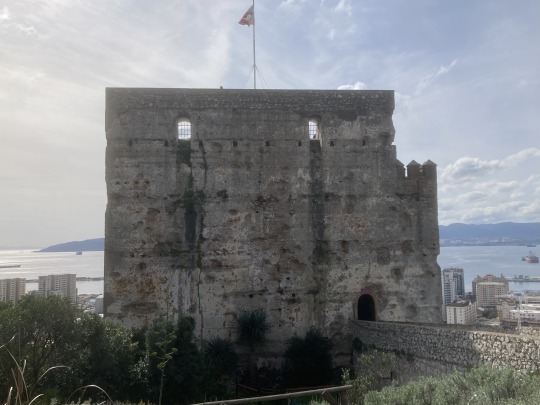
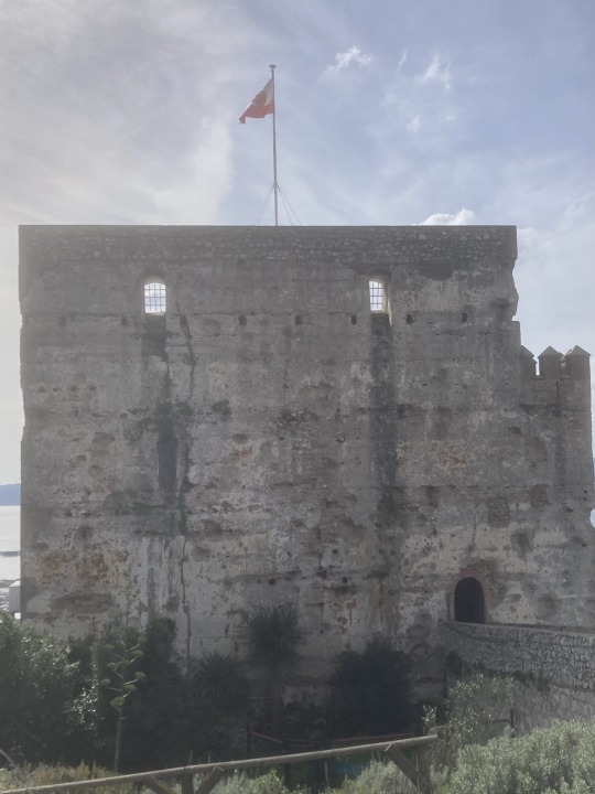
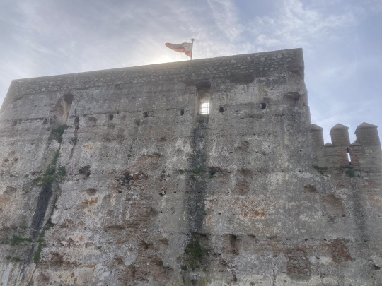
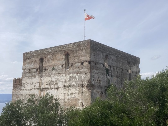
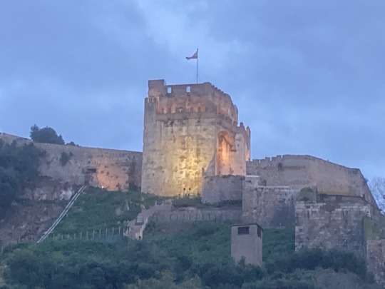
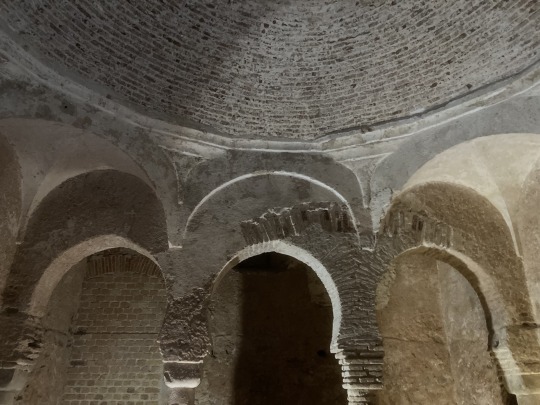
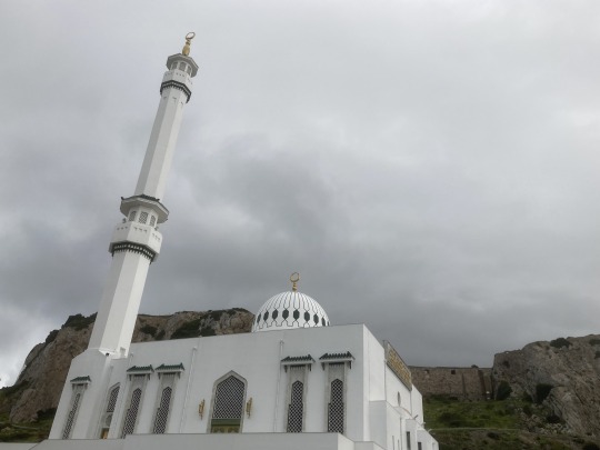
Gibraltar’s Moorish Castle, Moorish Baths and Mosque.
The Moorish conquest of Iberia was led by Tarik ibn Ziyad and Musa ibn Nusayr, who may have landed in Europe at or near Gibraltar. The Moorish occupation of Gibraltar lasted from 711 to 1309 and then again from 1333 to 1462, a total of 727 years.
The construction of the original Castle was started in the 8th century. The Castle was rebuilt during the second Moorish period of occupation in the early 14th century by the Marinid dynasty, after its near destruction during the reconquest.
There is further evidence of the Moorish occupation at the National Museum where they have excavated a Moorish Bathhouse.
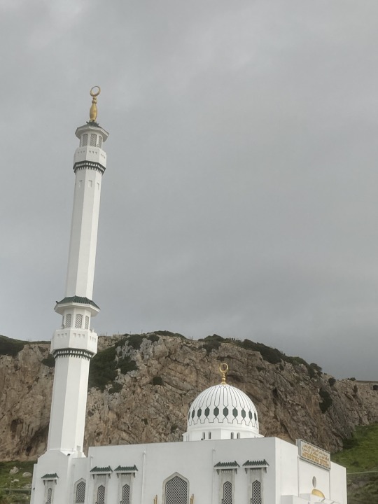
Fast forward to modern times and you'll find the Ibrahim al Ibrahim Mosque, also known as King Fahd Bin Abdulaziz Al-Saud Mosque (as it was donated by the late King Fahd Al-Saud), which is Europe’s most southerly Mosque and one of the largest in a non-Muslim country. It caters for Gibraltar’s Moroccan population, and other Muslims. The majority of Moroccans arrived in Gibraltar after Franco closed the frontier in 1969, taking posts in public services that managed construction, property and service operations around the naval dockyard. It is apparently beautiful inside, but was closed for renovations so you’ll have to google photographs.
0 notes
Text
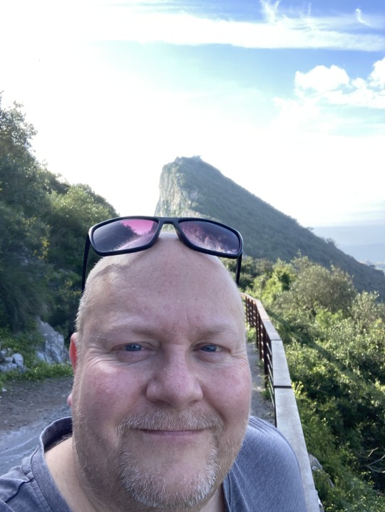
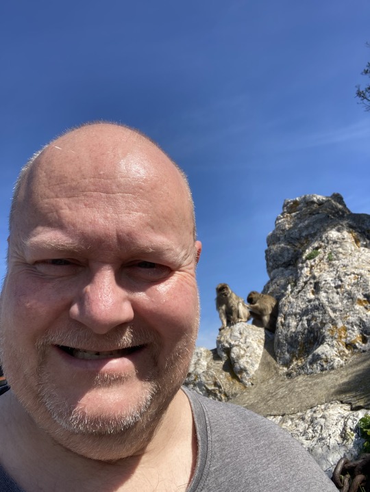
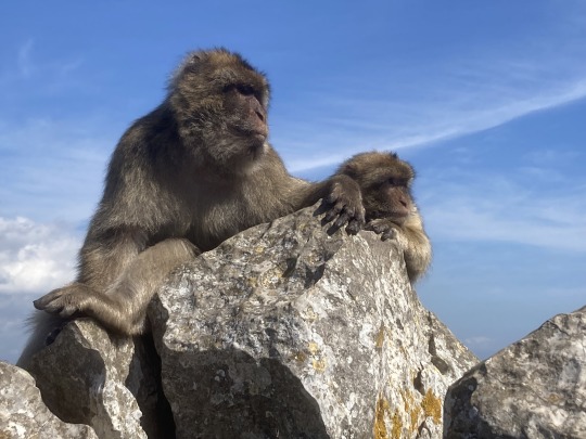
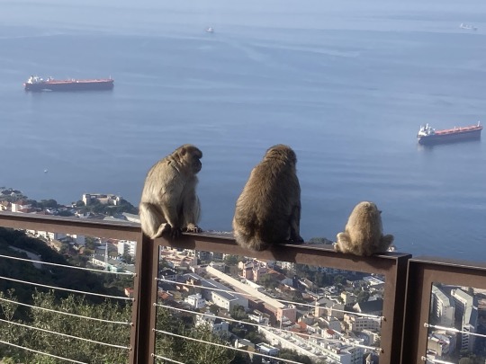
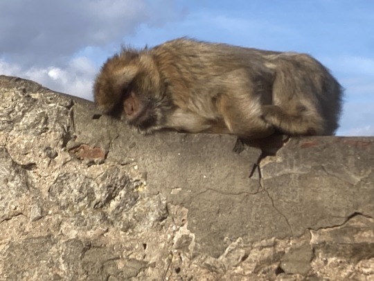
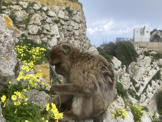
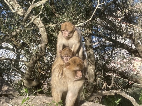
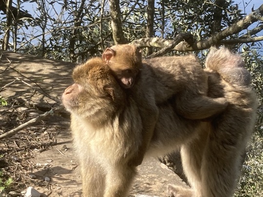
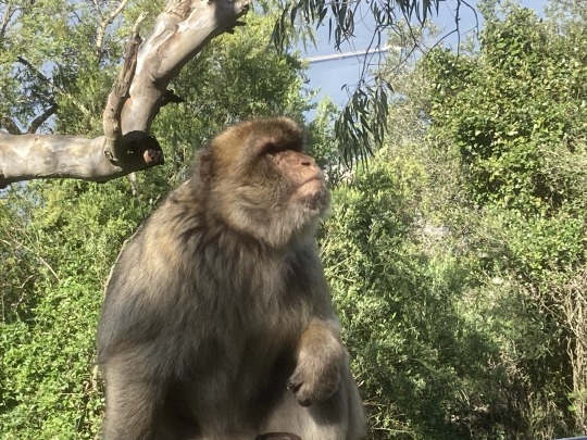
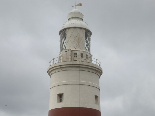
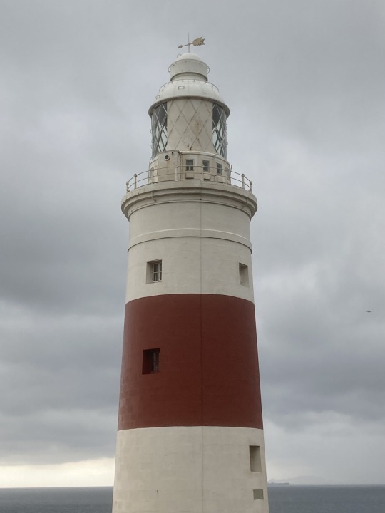
I have just come back from a few days in Gibraltar.
‘The Rock’ is probably to most iconic part of Gibraltar, and is of course, the home to the 200-250 Barbary Apes - Europe's only colony of wild monkeys.
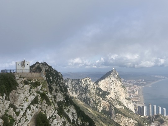
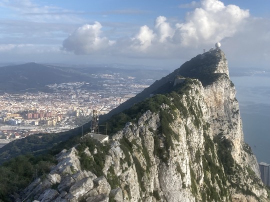
The Rock is a nature reserve with a number of attractions. I spent most of a day wandering, well hiking, from the cable car up to O’Hara’s Battery, down to St. Michael’s Cave, to the Apes Den before ending at the Military History Centre, the Great Siege Tunnels, the City Under Siege Exhibition, the WW2 Tunnels and finally the Moorish Castle (which I will write more about in the next post).
O’Hara’s Battery stands at the highest point (426 metres) on The Rock and was first fortified in 1890. In 1901 a 9.2-inch cannon with a range of 29,000 yards (26km) was added.
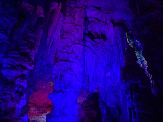
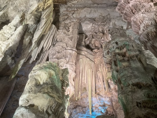
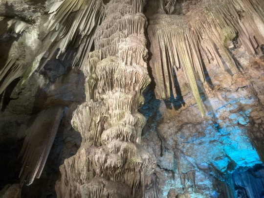
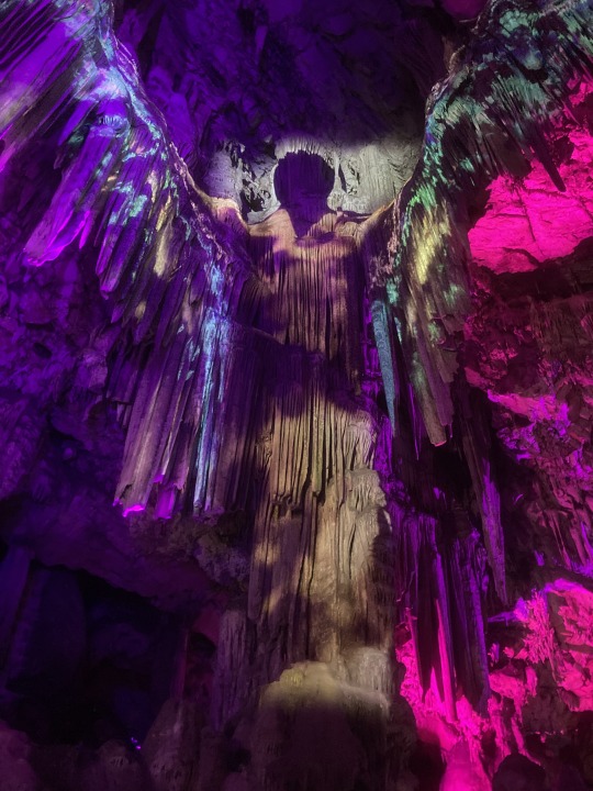
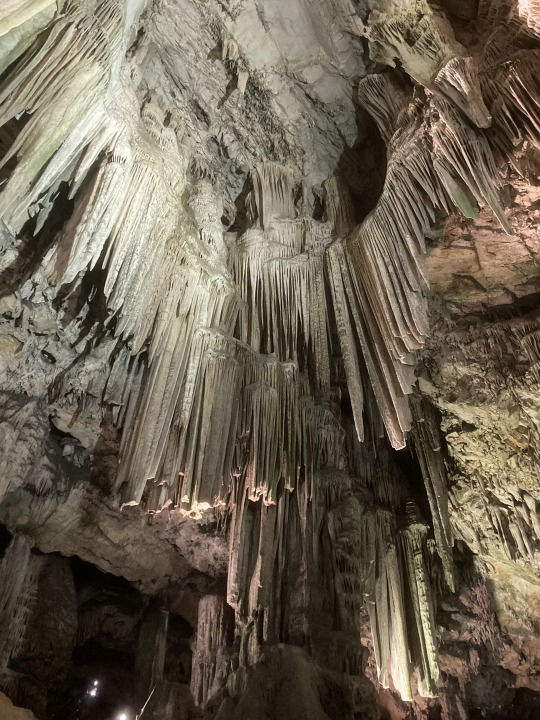
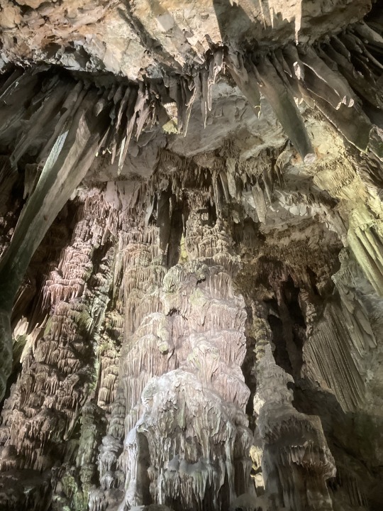
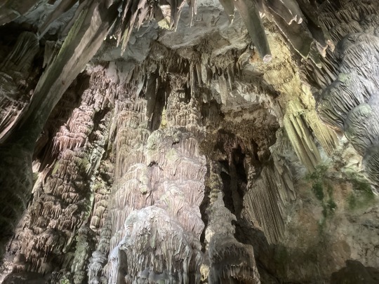
St. Michael’s Cave is a natural limestone cave with a large number of stalactites and stalagmite - the most famous being the Archangel Michael. Legend has it that the cave was bottomless, that it connected to Africa, and was the Gates of Hades. They have now added a light and sound show, which kind of works.
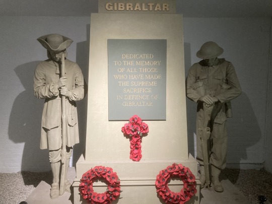
The Military History Centre, the Great Siege Tunnels, the City Under Siege Exhibition, the WW2 Tunnels and the Moorish Castle tell the military history of the Rock. The Moorish Castle was built in the early eighth century. The Siege Tunnels were built during the Great Siege between 1779 to 1783 when the Spanish, along with the French, attempted to seize Gibraltar from the British, as well as providing protection there were also a number of guns installed in the tunnels which provided height to fire upon the Spanish and French. Tunnels were again used in the Second World War with Gibraltar being an important location in the defence of shipping routes in the Mediterranean. In February 1997, it was revealed the British had a secret plan called Operation Tracer to conceal servicemen in tunnels beneath the Rock in case the Germans captured it.
0 notes
Text
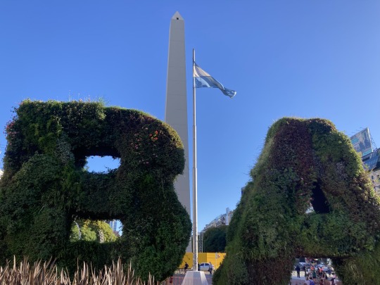
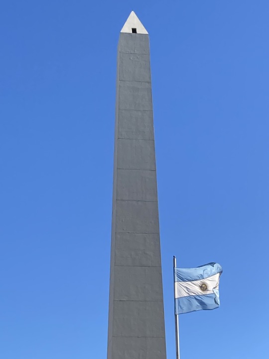
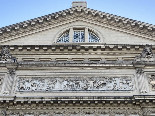
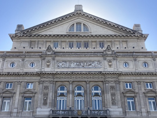
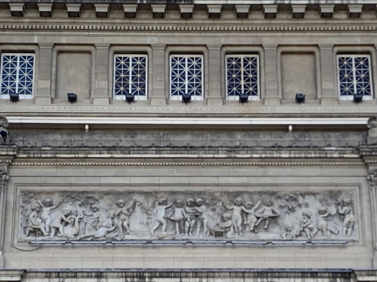
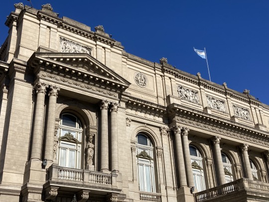
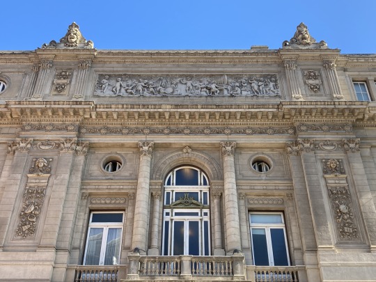
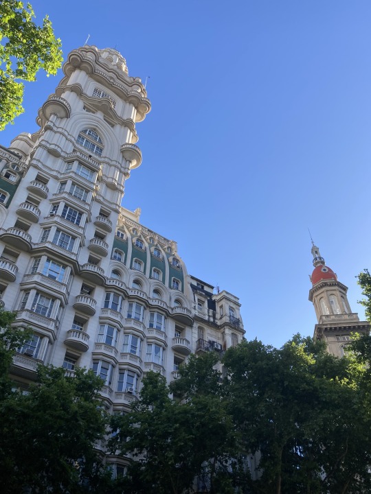
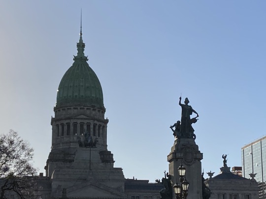
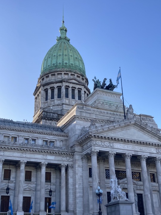
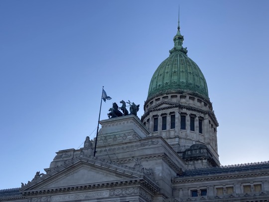
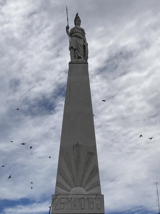

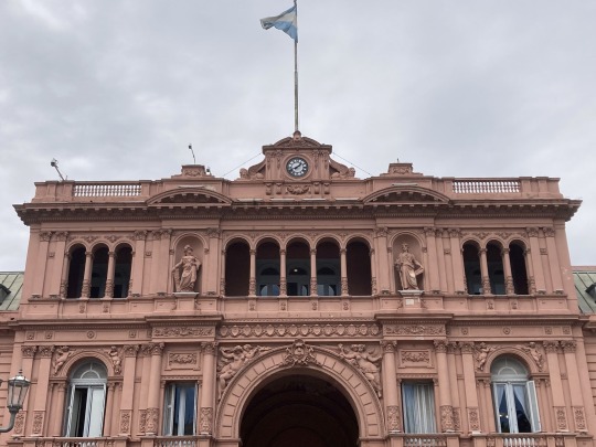
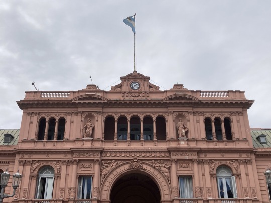
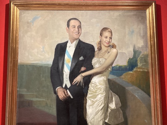
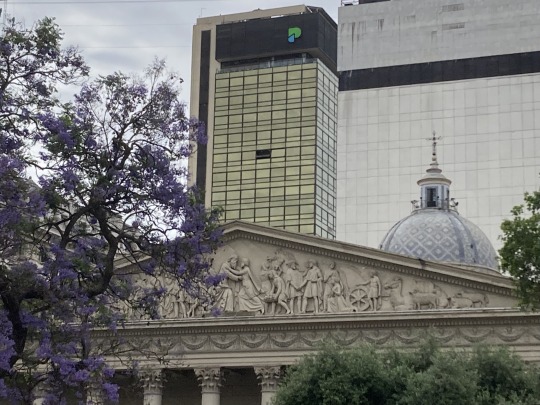
Some photographs from downtown Buenos Aires.
The photographs include the Obelisk, Colon Theatre, Palacio Barolo, Congress, Casa Rosada and the cathedral.
0 notes
Text
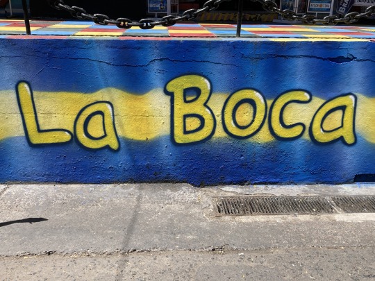
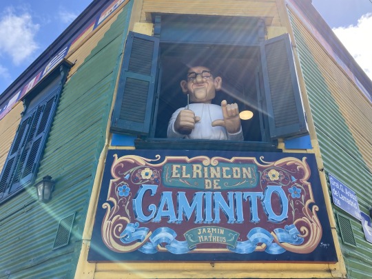
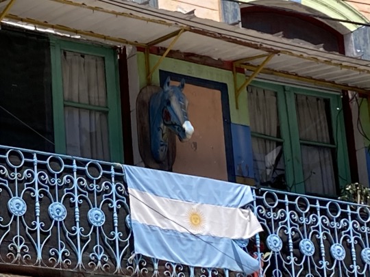
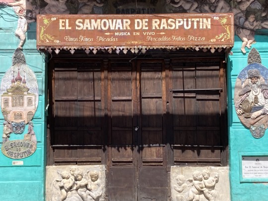
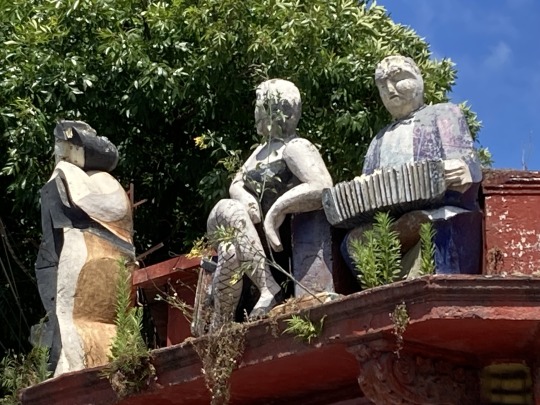
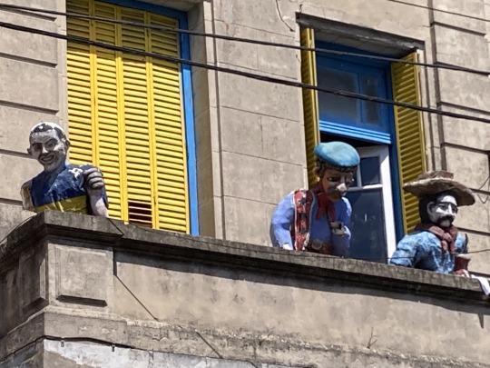
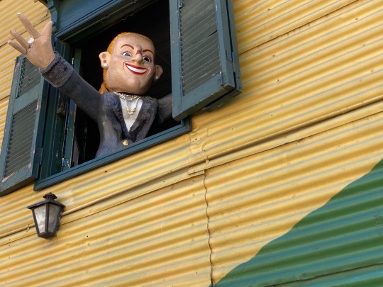
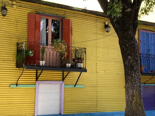
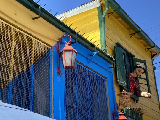
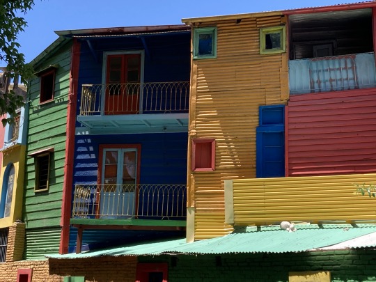
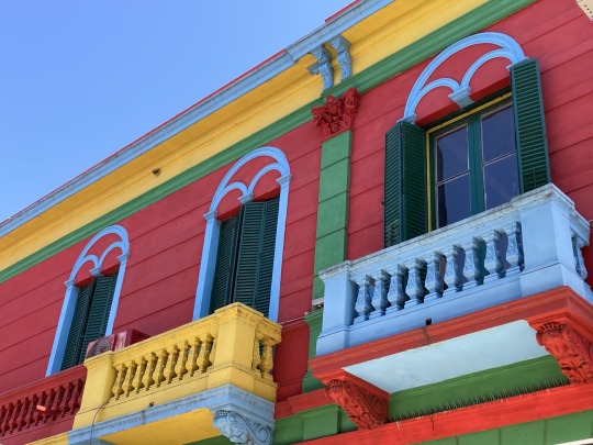
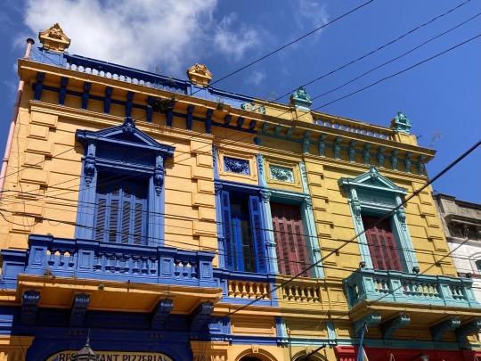
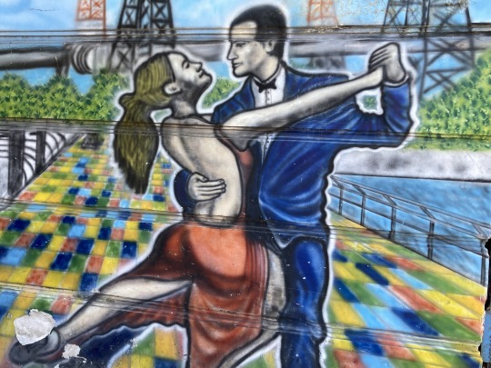
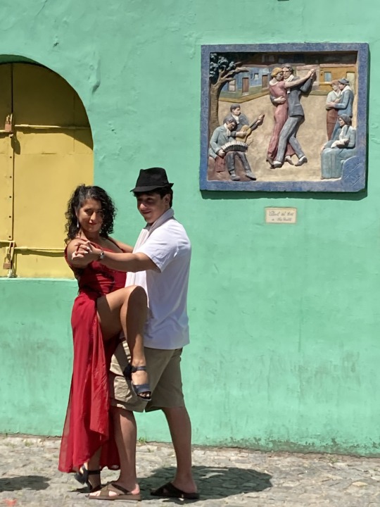
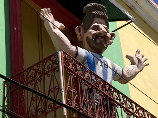
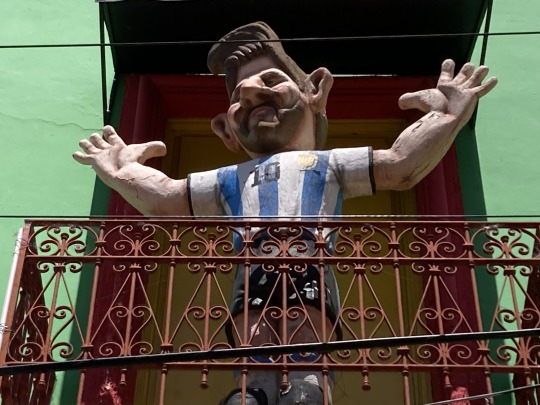
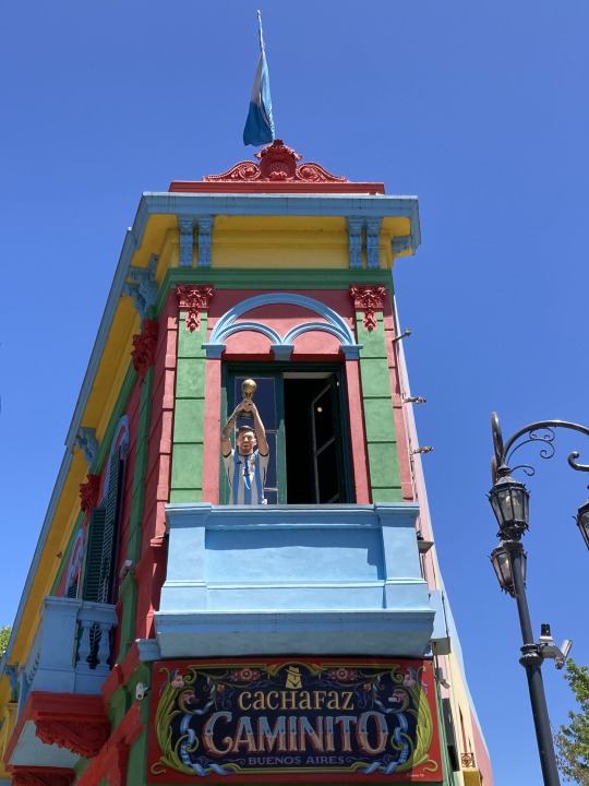
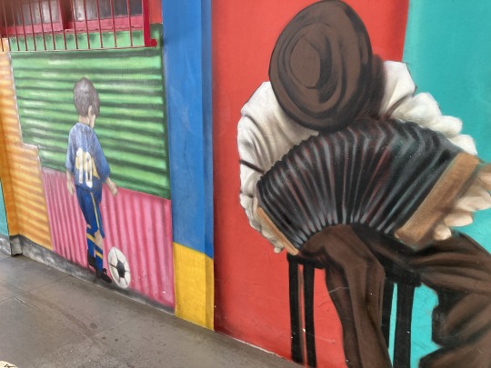

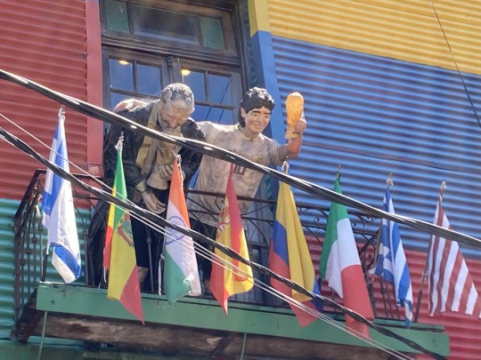
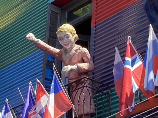
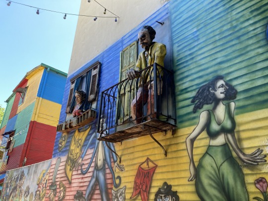
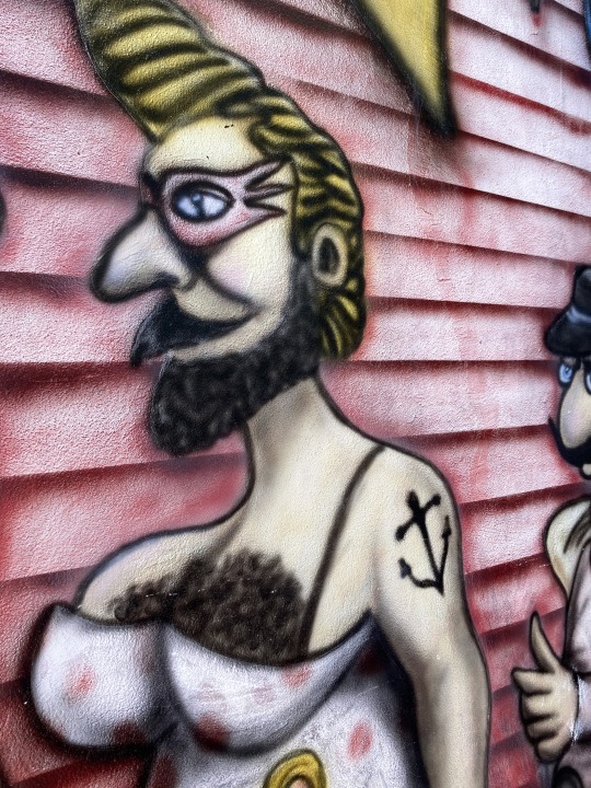
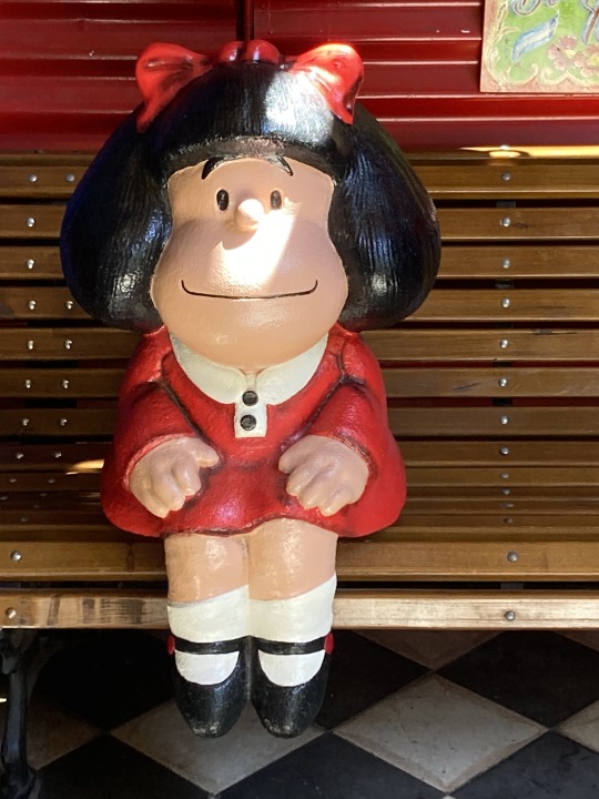
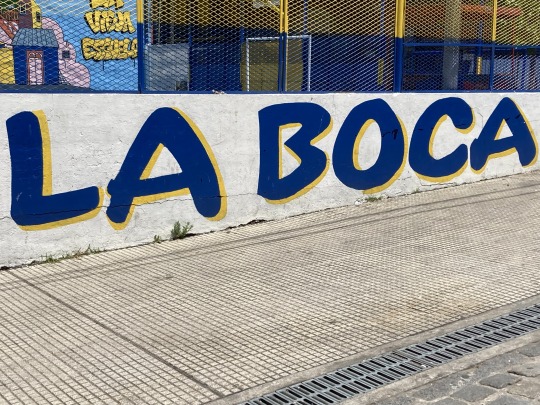
Whilst in Buenos Aires, I visited Caminito in La Boca.
If you believe the tourist information, if you go to La Boca after dark you will be murdered, robbed and murdered again. I went during the day and survived (I suspect I would also have survived after dark too).
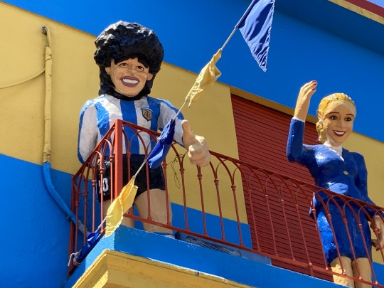
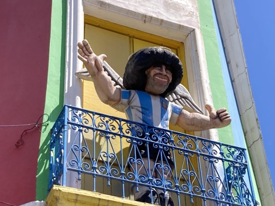
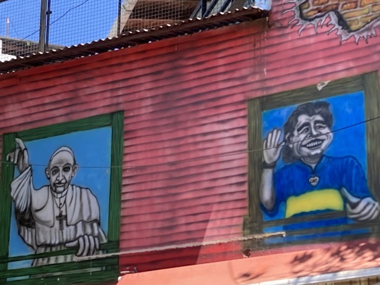
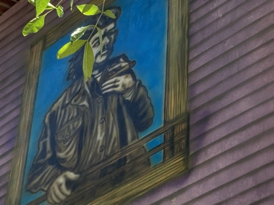
Caminito is effectively a street museum. It is a quirky place where there is some interesting colourful buildings, street art, various craft stalls and some tango performers. It is also the home to Boca Juniors and there is lots of football related stuff as you will see from the photographs.
With regard to the tango, it has a special place in history due it being the inspiration for the music "Caminito (1926)" composed by Juan de Dios Filiberto.
La Boca is historically an immigrant area with many of its settlers coming from the Italian region of Liguria.
In 1882, after a lengthy general strike, La Boca seceded from Argentina, and the rebels raised the Genoese flag.
In 1907, La Boca became its own micronational republic. Their first attempt was short-lived, but two later attempts were more successful. The former lasted from 1923 to 1972 and the latter was established since 1986. Republic graffiti was still present in the barrio.
0 notes
Text
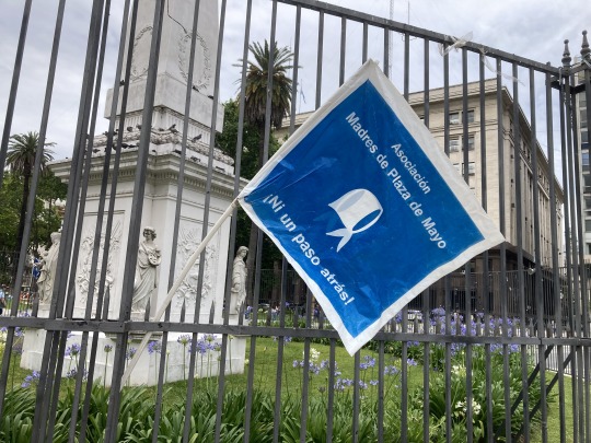
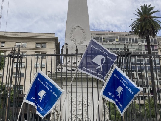
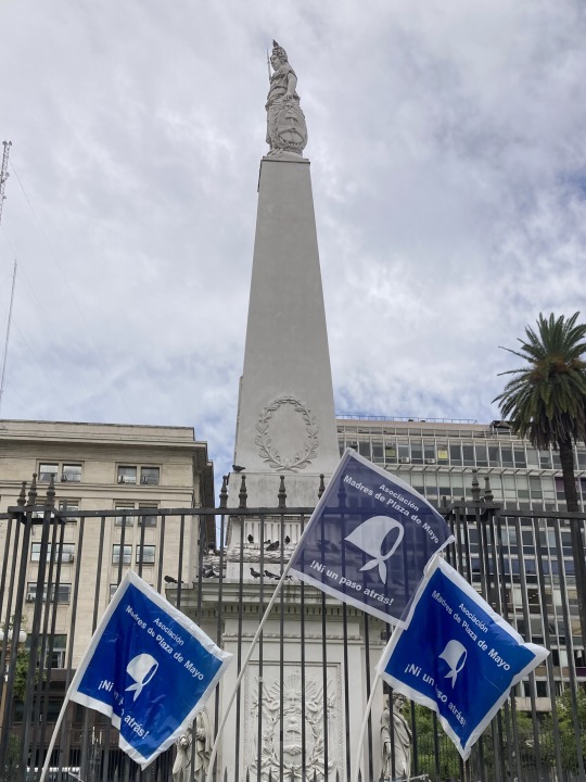
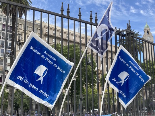
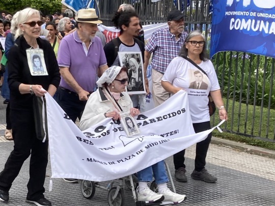


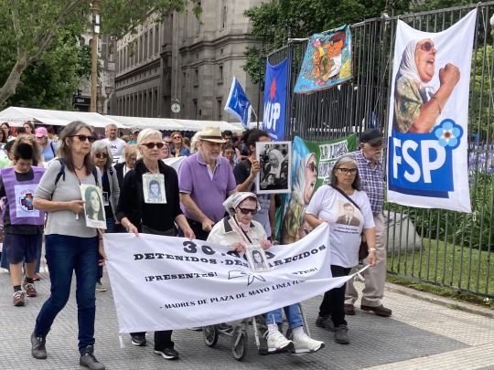
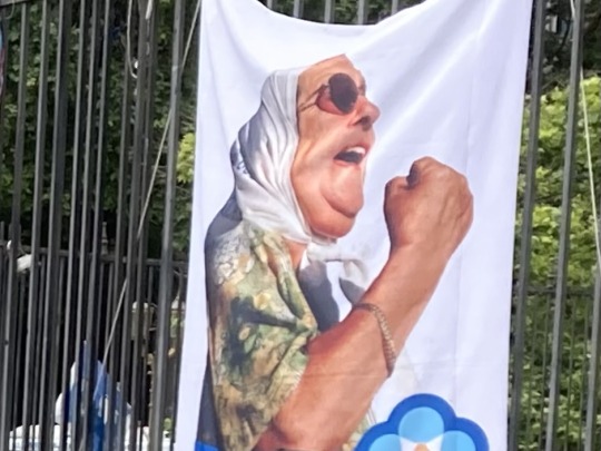
Every Thursday at 3:30pm, since April 1977, the Mothers of Plaza de Mayo gather to raise awareness and demand to know the final fate of the ‘missing’.
The new (1976) government of the self-proclaimed “Proceso de Reorganización Nacional” implemented a plan to illegally and systematically kill thousands of citizens through kidnapping, torture, arbitrary executions, enforced disappearance, thus carrying out a state terror policy. The “disappearance” modality became tragically systematic. Thousands of people were kidnapped at their homes, places of work or on the street, and subsequently became victims of enforced disappearance.
In 1977 some mothers of young people who had been victims of enforced disappearance, started to organise protests to demand information about their children whose whereabouts were unknown. They continue to meet every Thursday, their ranks have been swelled by many, younger, supporters.
You can find out more at https://en.m.wikipedia.org/wiki/Mothers_of_Plaza_de_Mayo
0 notes
Text
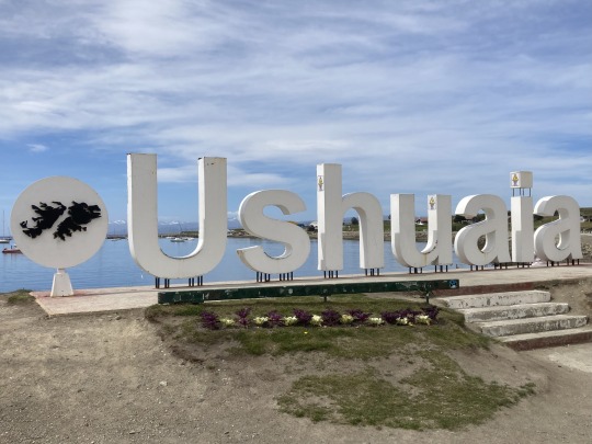
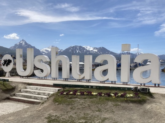
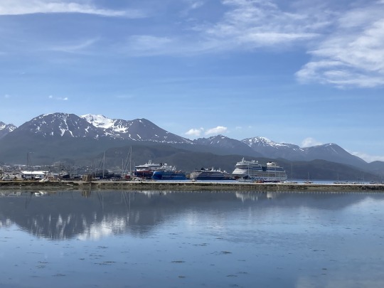
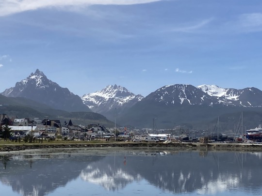
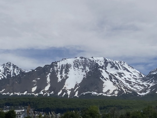
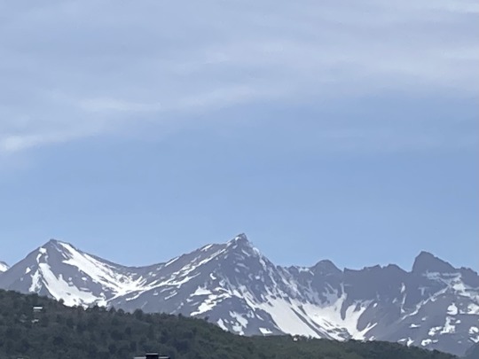
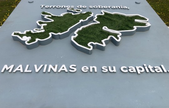
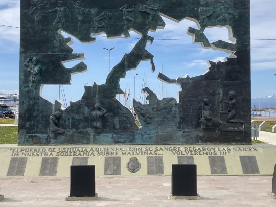
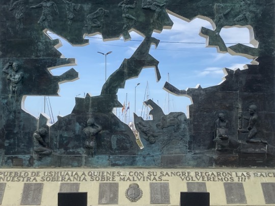
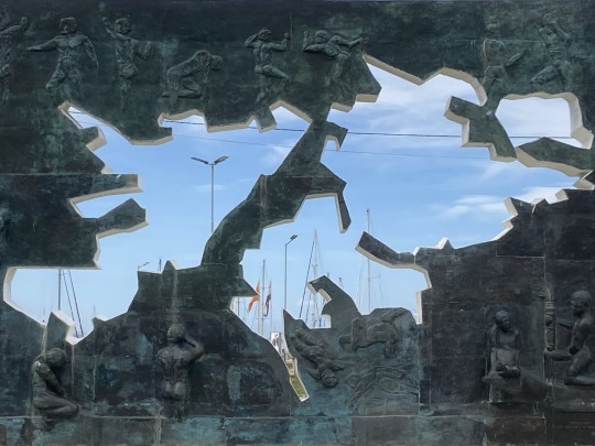
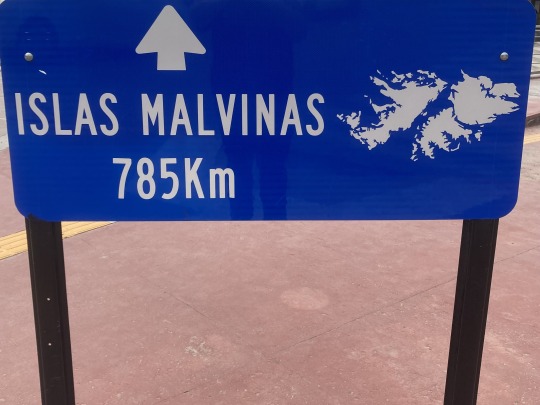
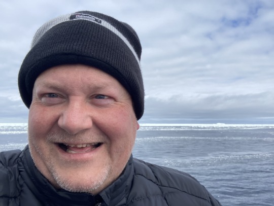
Ushuaia has changed a fair bit since I visited 20-something years ago with Amanda, Nicola and others. Back then it was relatively small, with the advent of a larger Antarctica tourism the town has grown and is very much geared to the tourist dollar.
It feels like there has also been an increase in Malvinas (Falkland Islands) memorials and declarations of sovereignty - or maybe I just remember less of them. Either way it did make me feel sad that I didn’t get to visit them on this trip.
0 notes
Text
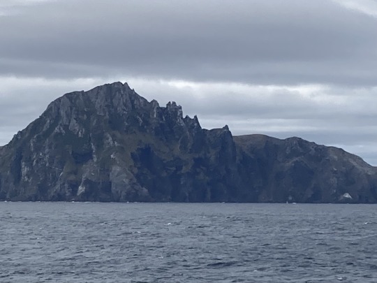
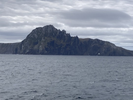
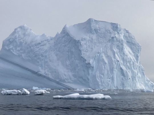
With Antarctica behind us, and Drake Passage navigated, land was sighted… Cape Horn.
Cape Horn is the southernmost headland of the Tierra del Fuego archipelago of southern Chile, and is located on the small Hornos Island.
Cape Horn marks the northern boundary of the Drake Passage and marks where the Atlantic and Pacific Oceans meet.
Cape Horn was identified by mariners and first rounded in 1616 by the Dutchmen Willem Schouten and Jacob Le Maire, who named it Kaap Hoorn after the city of Hoorn in the Netherlands. For decades, Cape Horn was a major milestone on the clipper route, by which sailing ships carried trade around the world. The waters around Cape Horn are particularly hazardous, owing to strong winds, large waves, strong currents and icebergs.
0 notes
Text
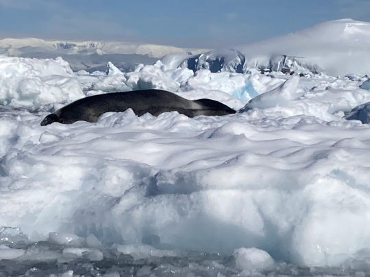
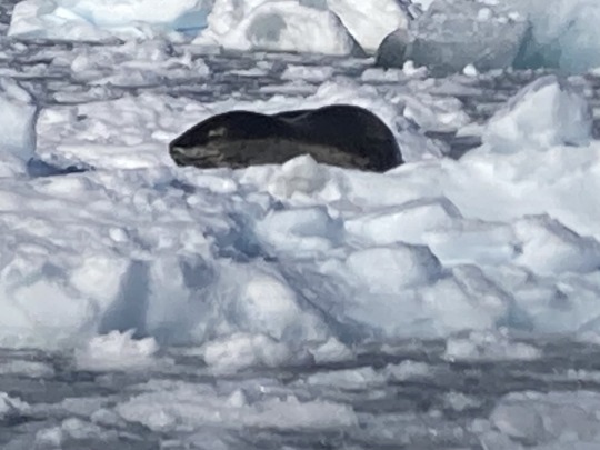
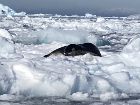
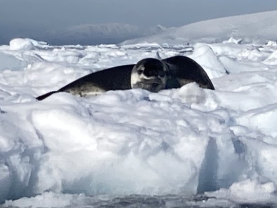
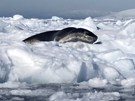
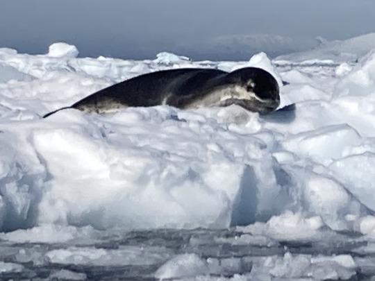
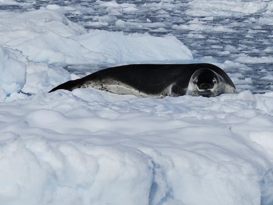
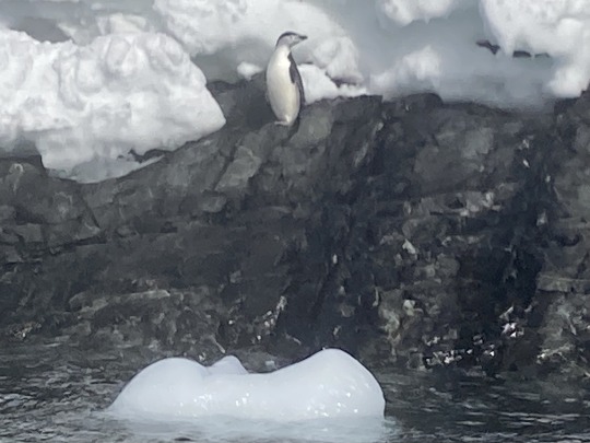
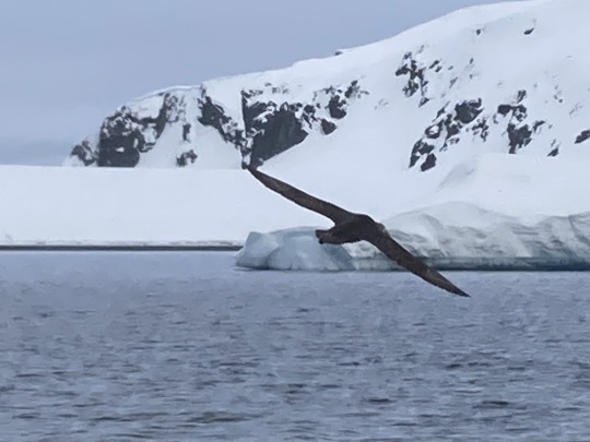
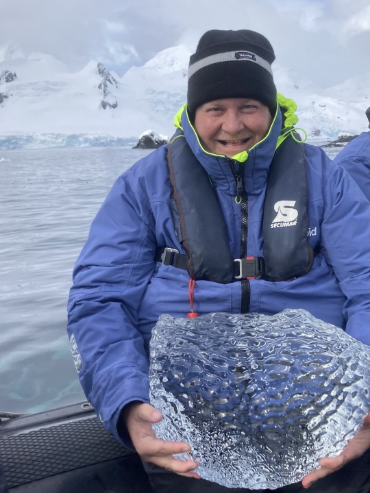
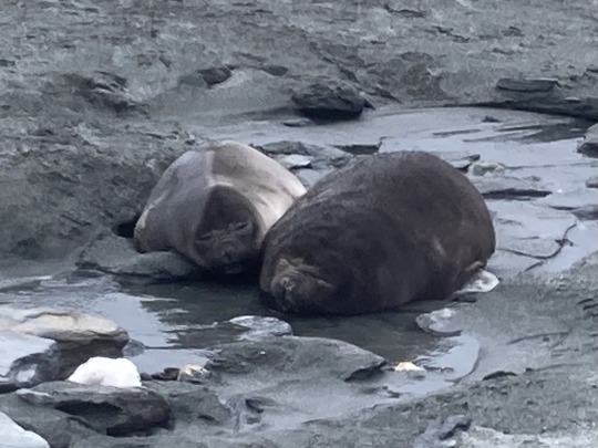
Before leaving the Antarctic Peninsula we got up close to a Leopard Seal 🦭 relaxing on the ice.
0 notes
Text
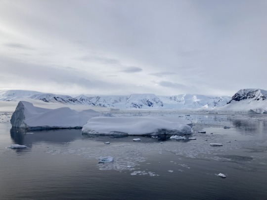
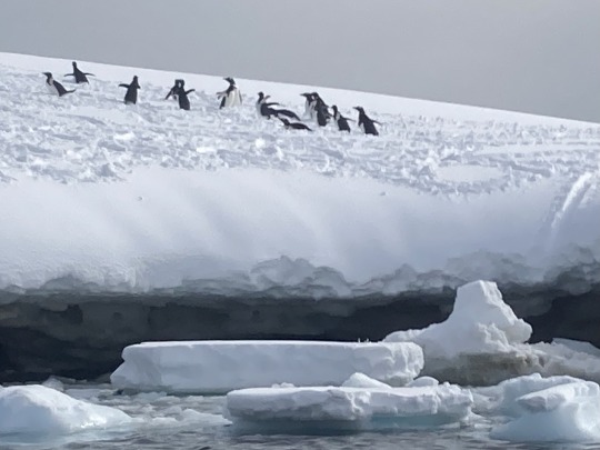
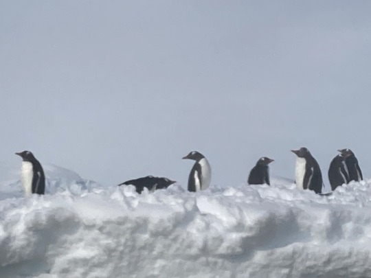
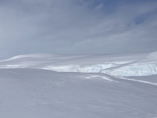
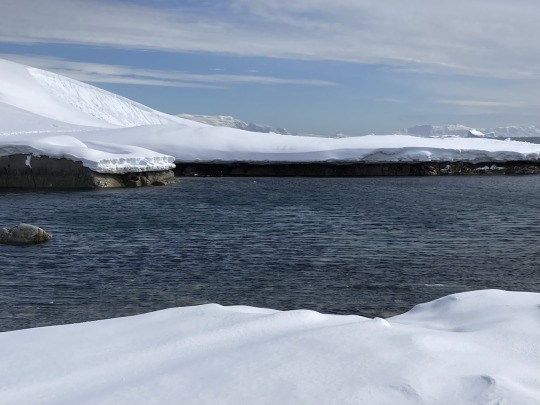
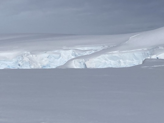
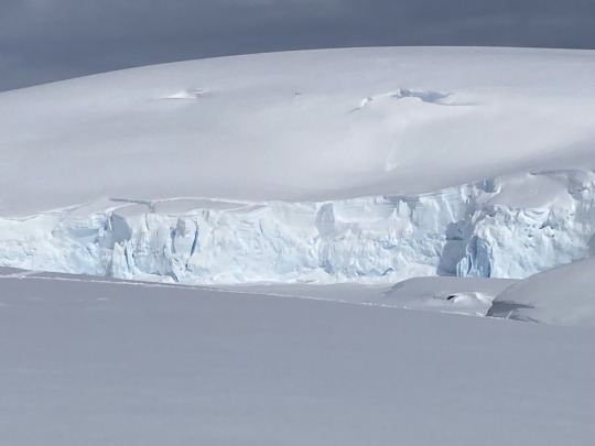
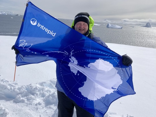
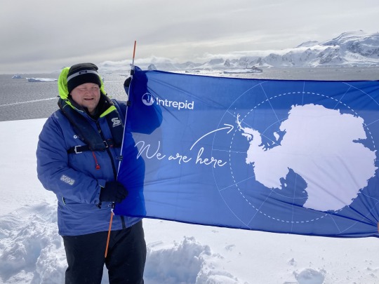
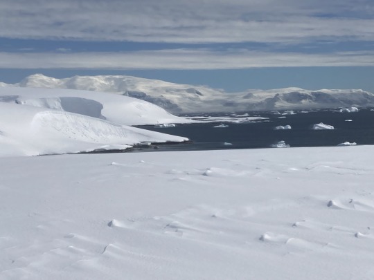
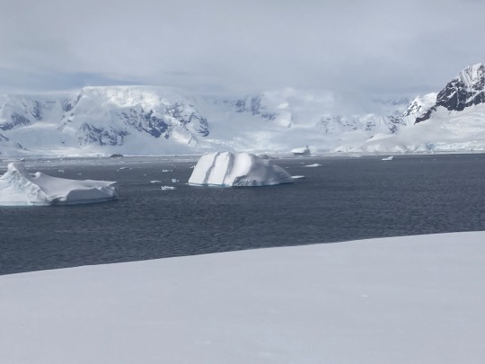
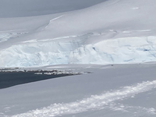
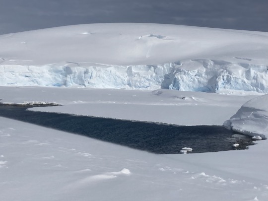
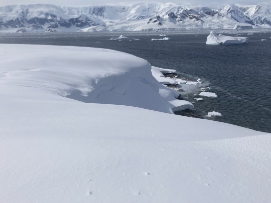
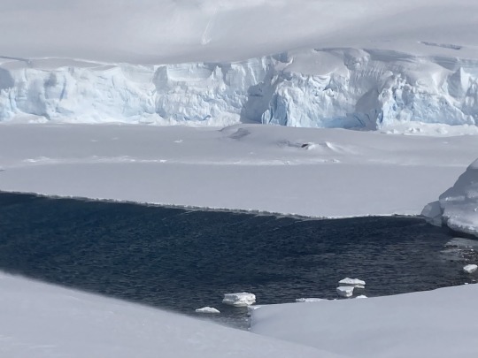
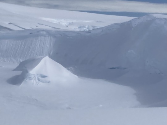

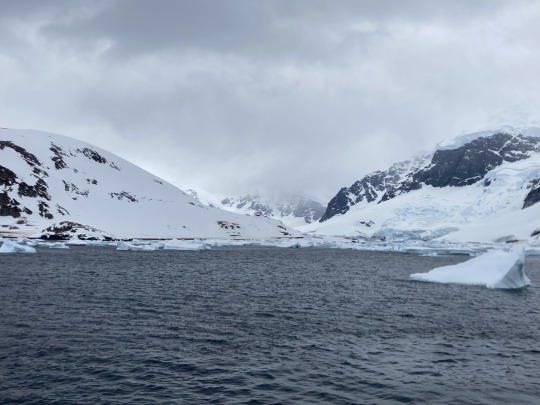
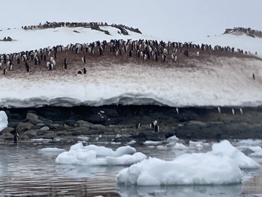
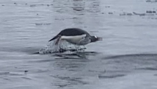
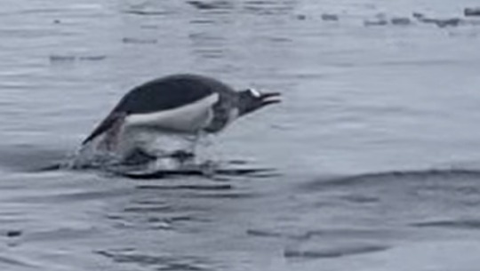
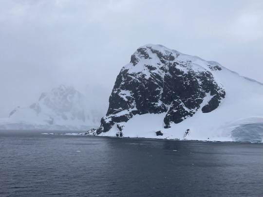
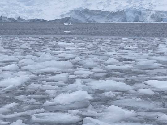
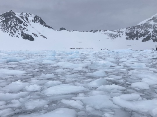
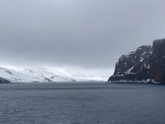
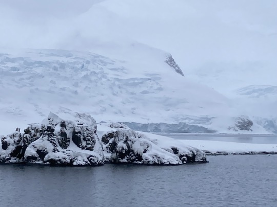
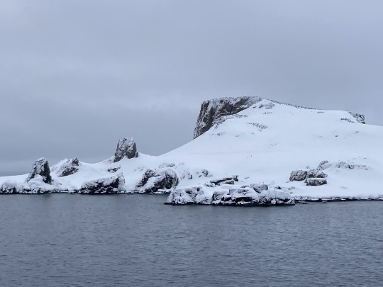
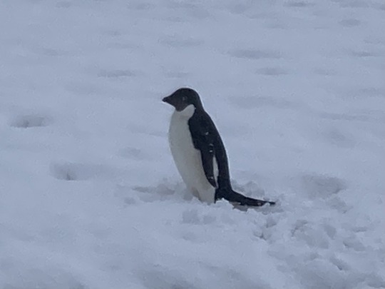
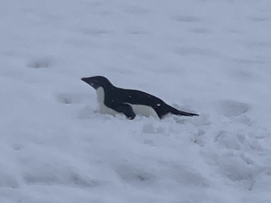
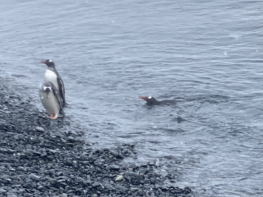
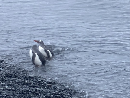
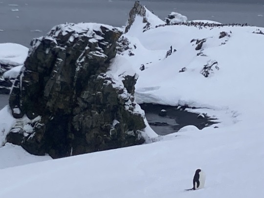
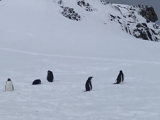
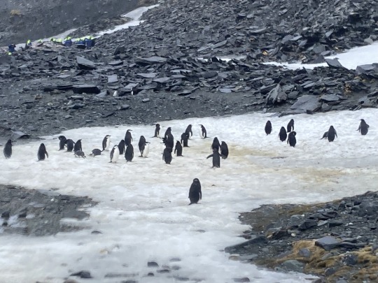
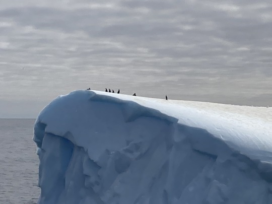
Portal Point was probably the most ‘Antarctic’ of all our stops. Most of the other stops were islands but this was mainland Antarctica 🇦🇶 (although we had a little cruise first before landing) As well as lots of snow there were, of course, more penguins 🐧.
0 notes
Text
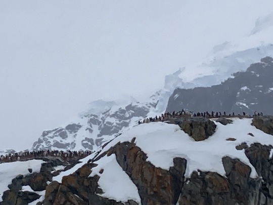
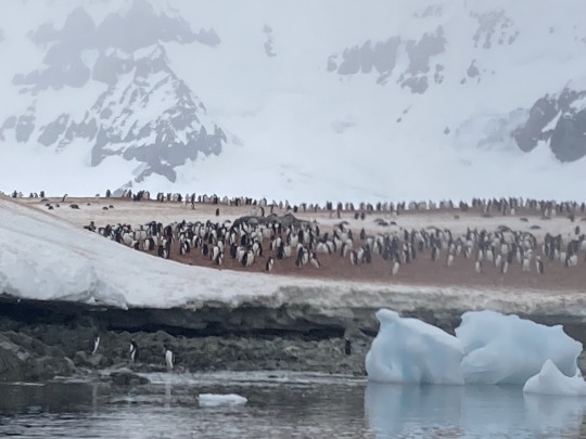
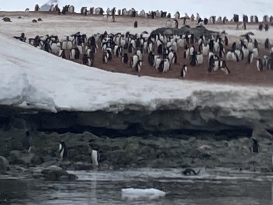
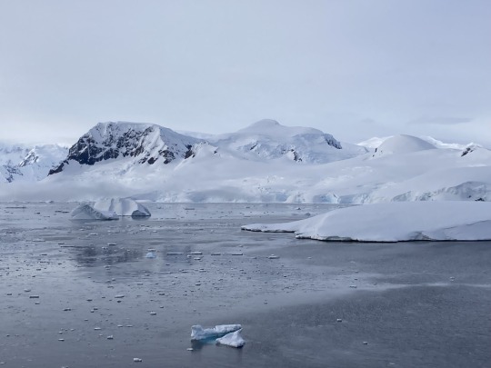
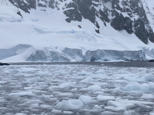
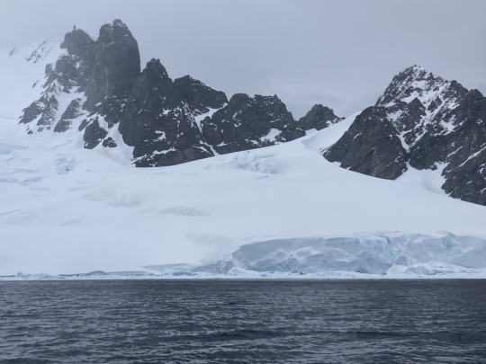
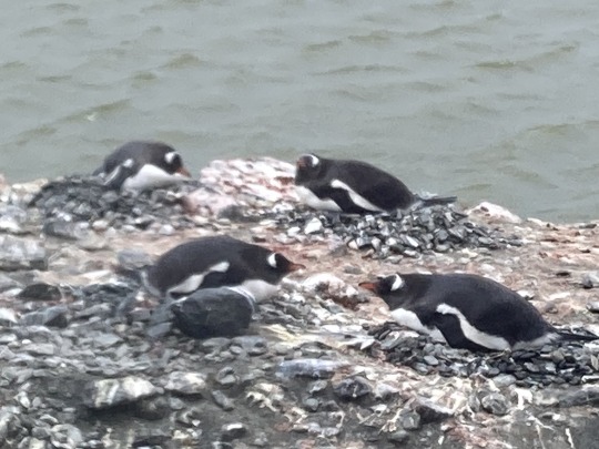
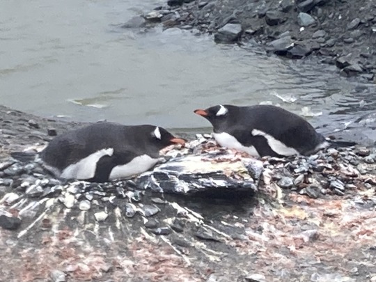
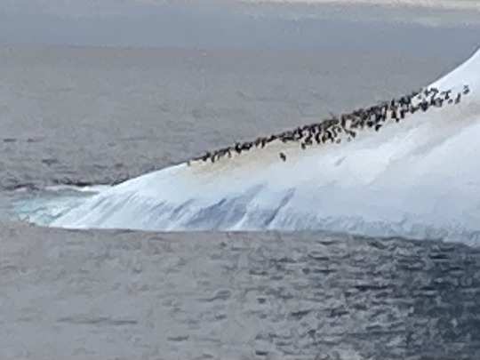
Cuverville Island was discovered by the Belgian Antarctic Expedition (1897–1899) under Adrien de Gerlache, who named it for Jules de Cuverville (1834–1912), a vice admiral of the French Navy.
It is home to the largest colony of Gentoo Penguins 🐧 in Antarctica with around 6,500 breeding pairs.
We were not able to land so all the photographs are from another zodiac ride.
0 notes
Text
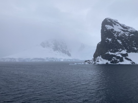
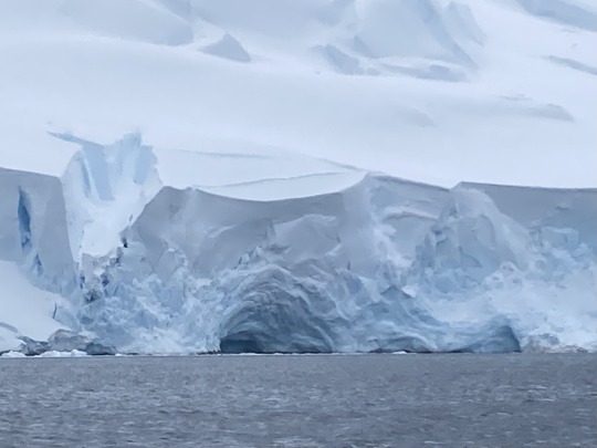
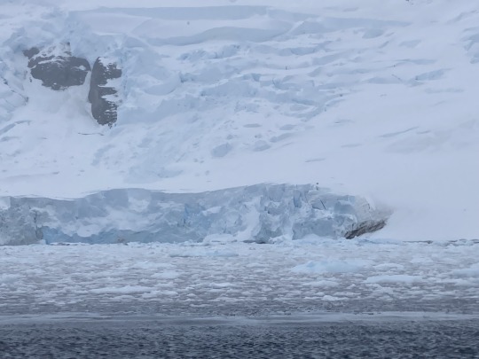
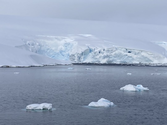
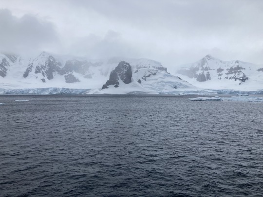
Orne Harbour was discovered by a Belgian Antarctic Expedition under Gerlache in 1898. It is thought it was named by Norwegian whalers.
We couldn’t land here, so it was another zodiac trip.
0 notes
Text
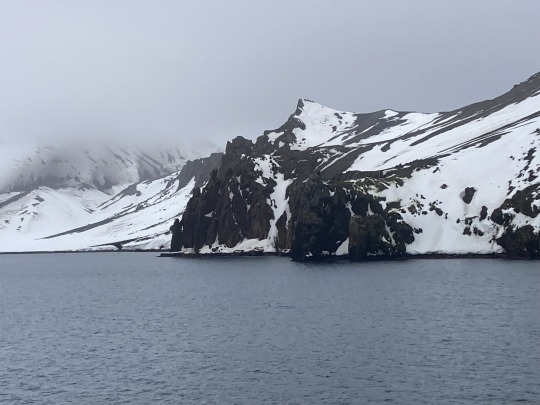
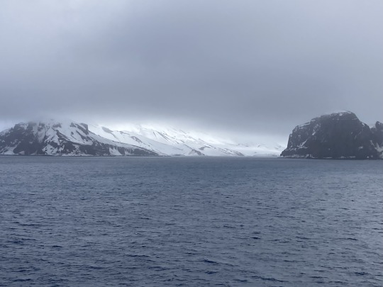
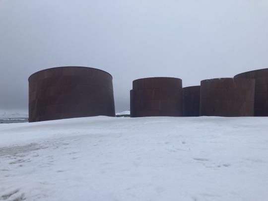
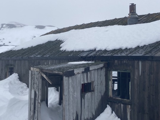
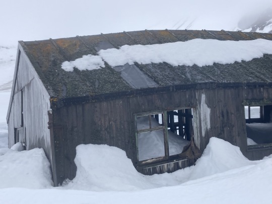
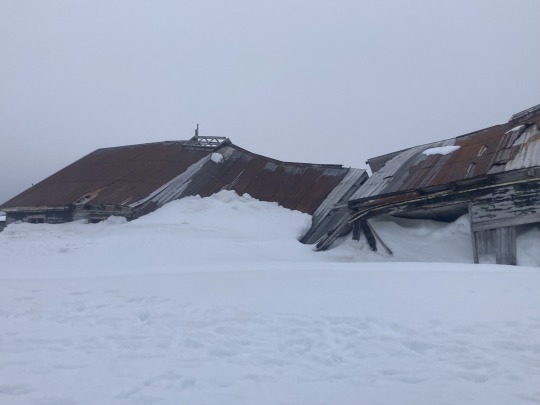
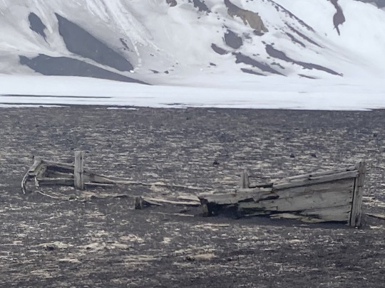
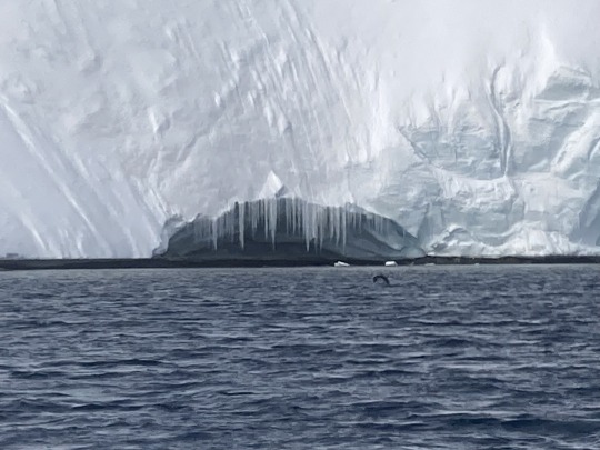
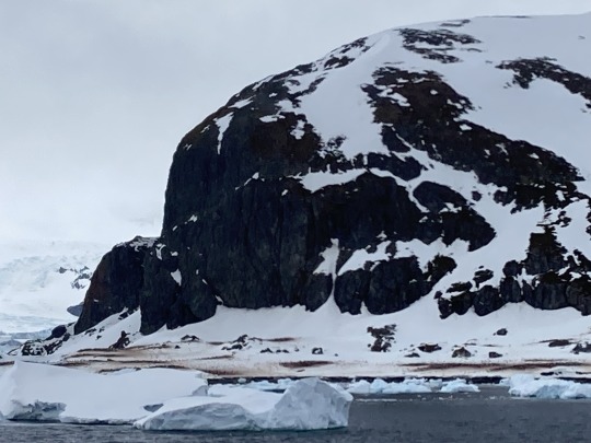
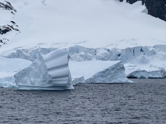
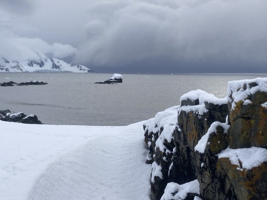
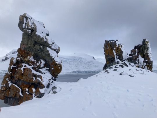
Deception Island is described as a ‘safe harbour’ but is actually the caldera of an active volcano 🌋
Despite the volcano and the presence of Ravens Rock just below the water in the middle of the channel, we visited Whalers Bay.
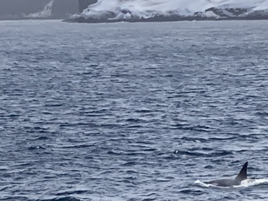
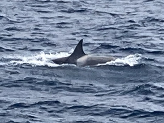
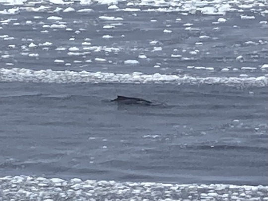
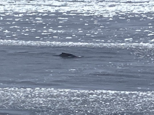
The island sits within the Bransfield Strait, is roughly circular and horseshoe-shaped. Whalers Bay is, obviously, named after after the whaling industry that took place here. Not only can you see evidence of the industry in my photographs, I also managed to get a couple of photographs of whales here - I had seen whales elsewhere but they are buggers to photograph 🐳.
0 notes
Text
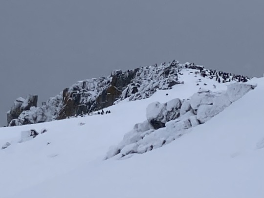
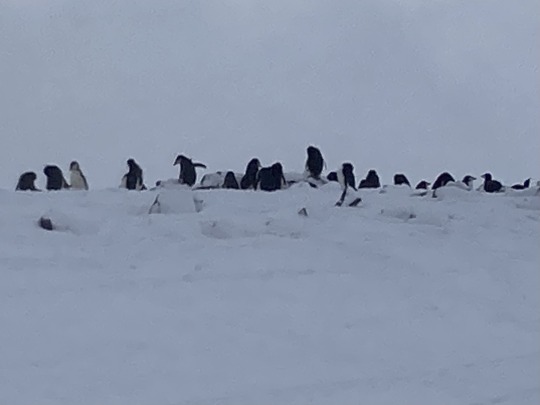

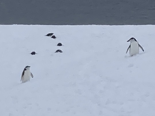
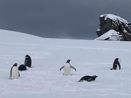
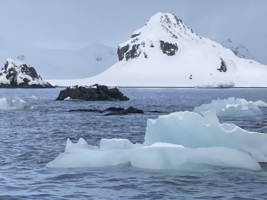
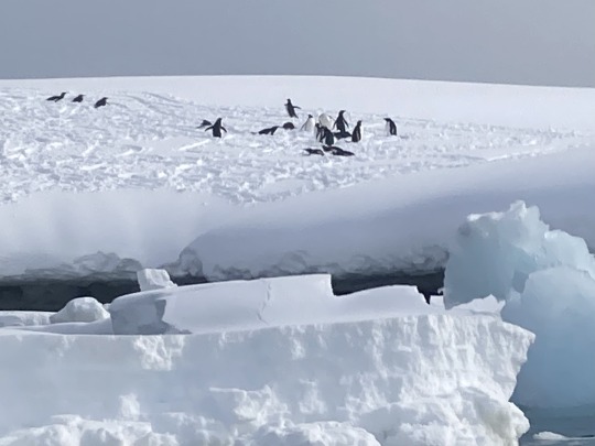
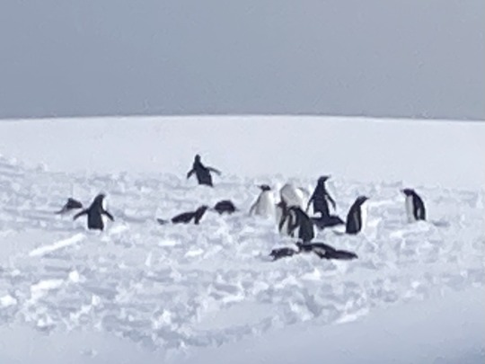
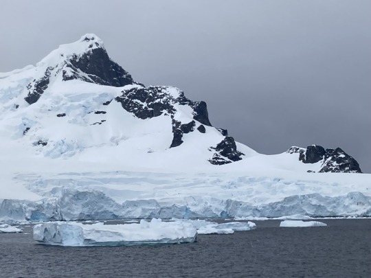
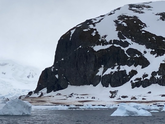
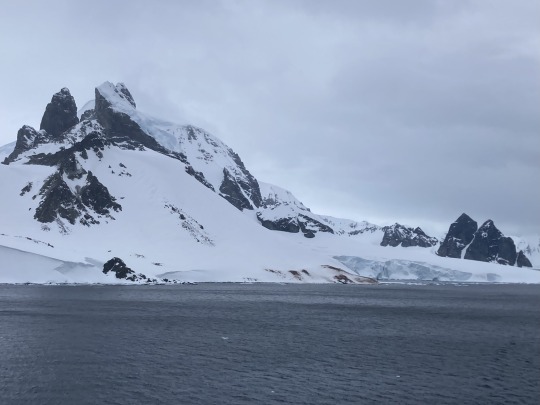
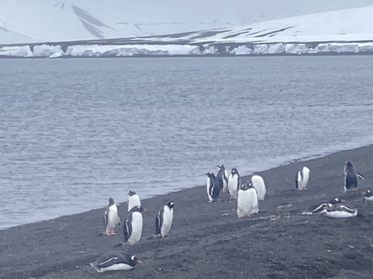
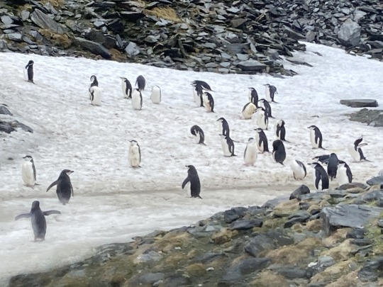
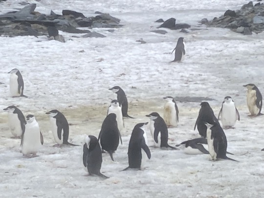
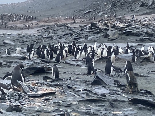
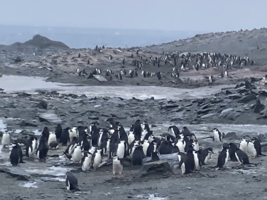
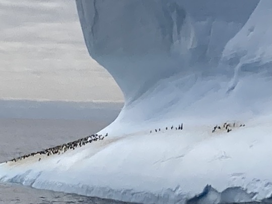
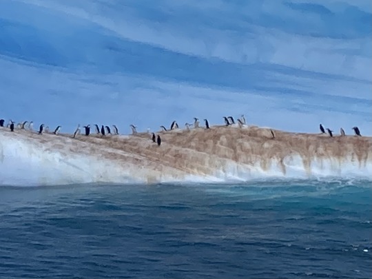
Half Moon Island is a minor Antarctic island, lying in McFarlane Strait and sits in the shadow of Livingstone Island.
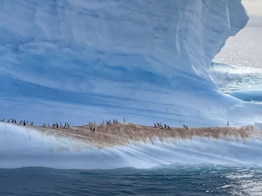
It has about 2,000 breeding pairs of Chinstrap Penguins. There was also some Gentoos too.
0 notes
Text
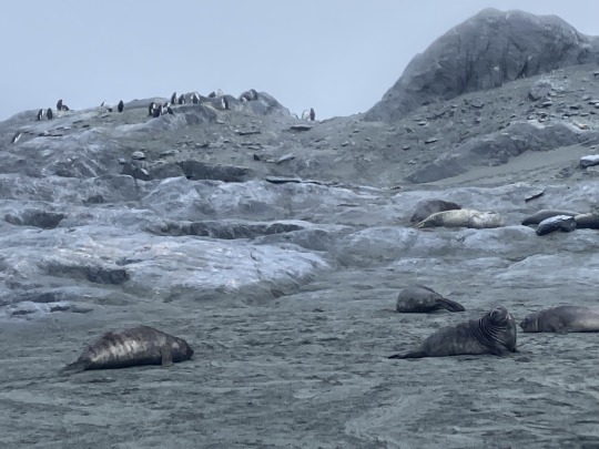
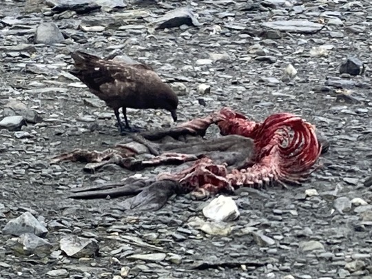
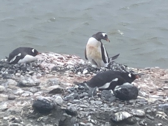
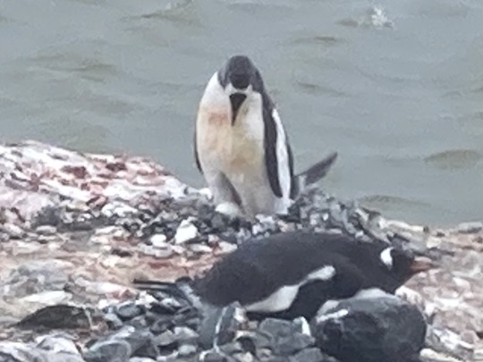
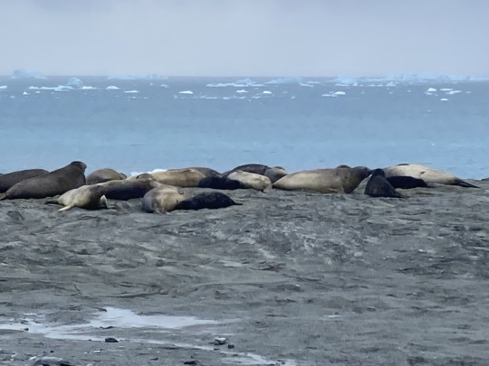
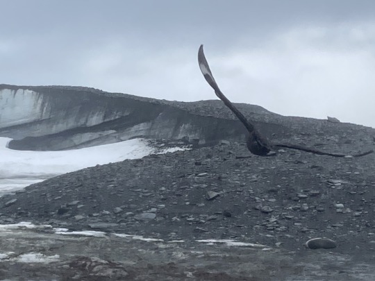
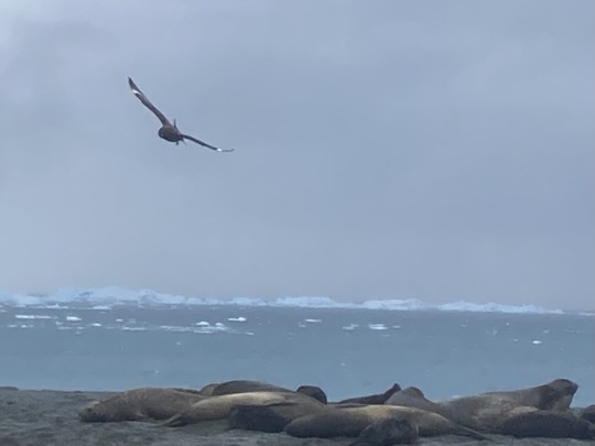
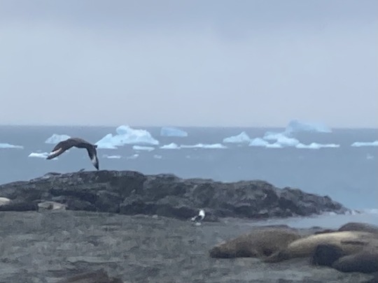
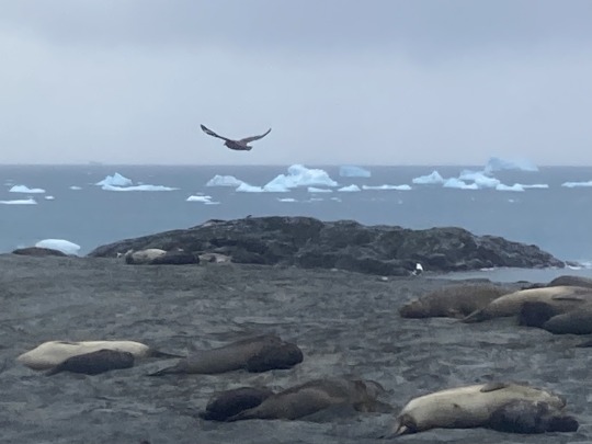
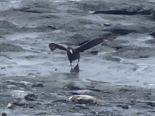
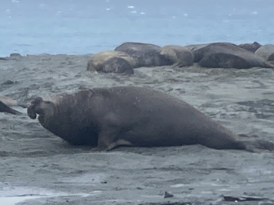
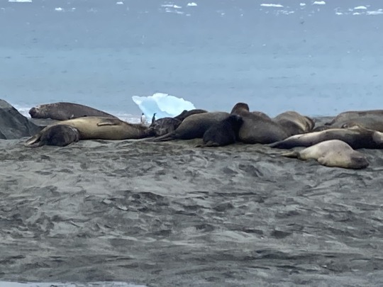
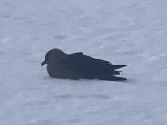
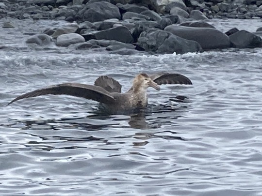
We arrived at Elephant Island, at the Endurance Glacier, fortunately in better shape than the crew of the Shackleton expedition. There were lots of animals we had both Gentoo and Chinstrap penguins, if you look carefully you will see a Gentoo standing up and their egg beneath them, seals including elephant seals and I even managed to take some photographs of birds (I find that quite difficult) 🐧 🦭 🐘 🦅
Elephant Island is one of the South Shetland Islands, but is quite a long way from the main group so often considered separate. From here we were just 152 miles from the Antarctic Peninsula - we were getting close!
0 notes
Text
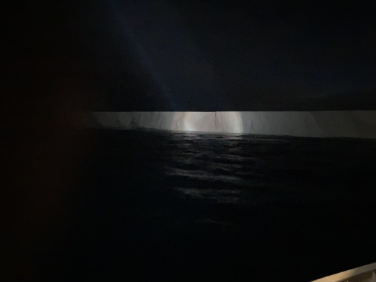
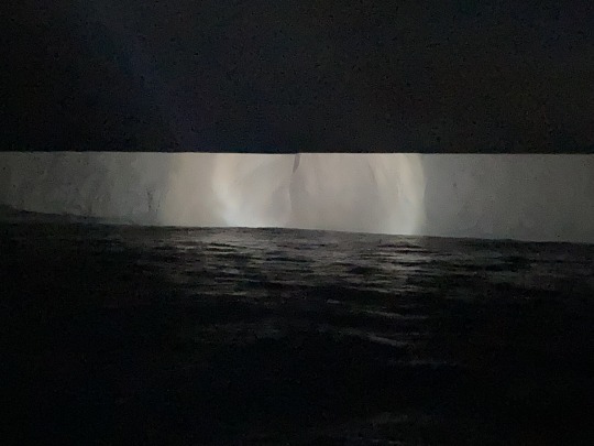
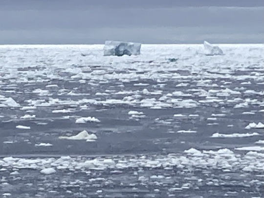
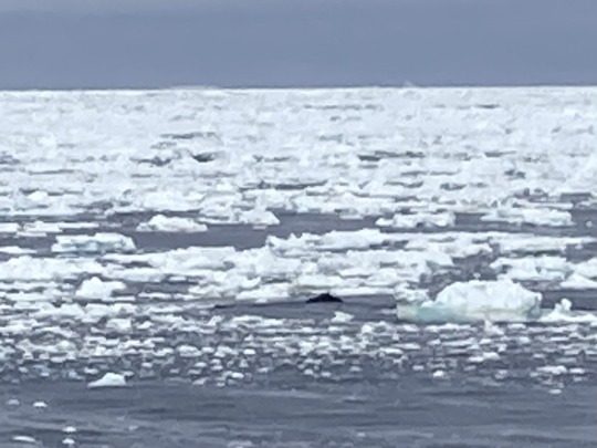
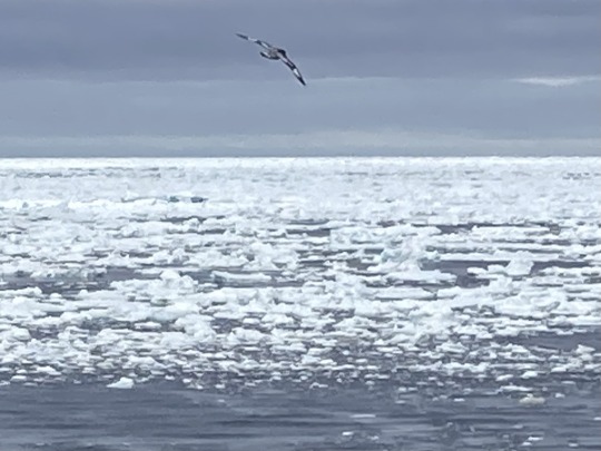
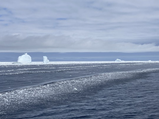
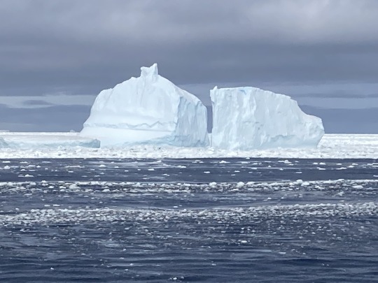
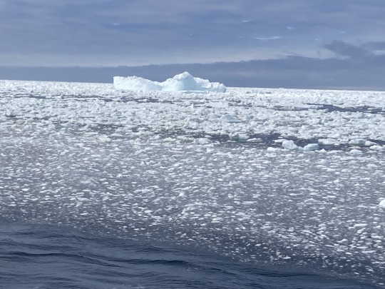

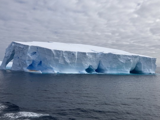
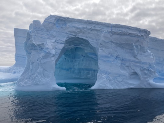
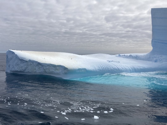
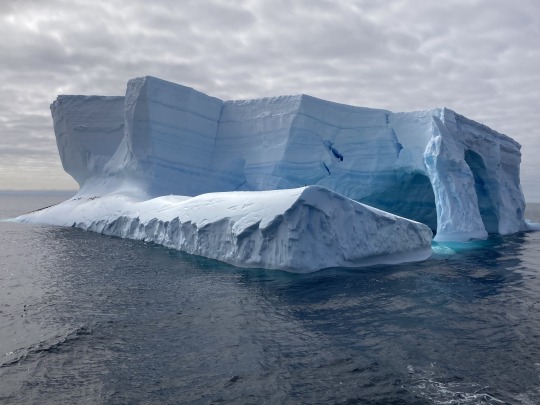
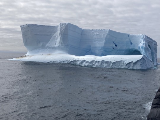
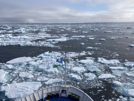
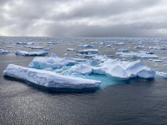
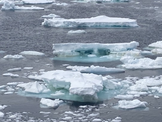
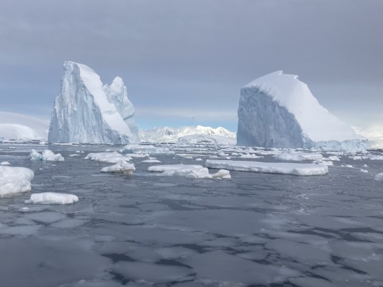
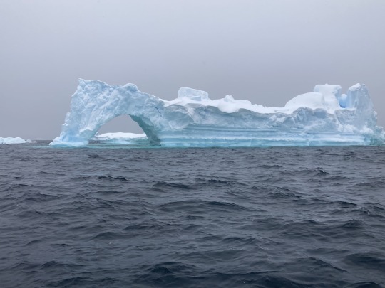
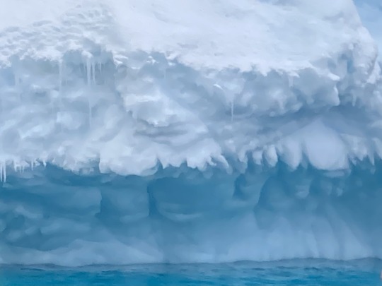
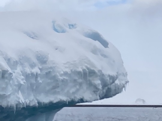
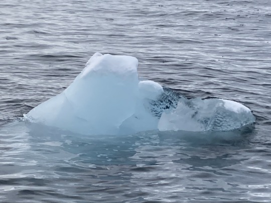
After we left South Georgia we encountered the A23a iceberg and some sea ice, lots of sea ice, some birds, whales and penguins 🦅 🐳 🐧
Around midnight (local time) we arrived at the A23a Iceberg. We got within half a nautical mile of it.
The A23A is the world’s largest iceberg at 3,800 square kilometres (1,500 square miles).
A23a is a large tabular iceberg which calved from the Filchner–Ronne Ice Shelf in 1986. It was stuck on the sea bed for many years but then started moving in 2020. In November 2023, A23a was tracked moving past the northern tip of the Antarctic Peninsula and heading towards the Southern Ocean. In April, A23a stepped into the Antarctic Circumpolar Current (ACC) and got stuck just north of South Orkney Islands, turning in an anti-clockwise direction by about 15 degrees a day. Here it remains, it is not clear if it will get free or slowly melt.
0 notes
Text
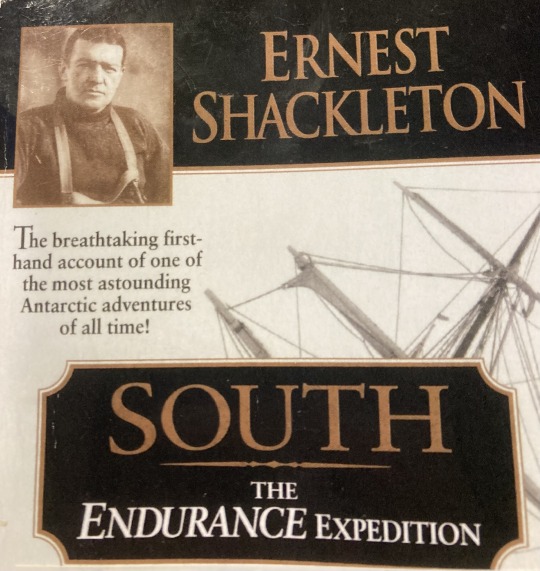
I have mentioned Sir Ernest Shackleton a fair bit, and will do so again. Part of my trip and that of the Endurance were the same - the Endurance came to South Georgia from Montevideo and from there headed through the Scotia Sea and they ended up at my next destination.
Whilst on board I read Shackleton’s book South. I also watch the BBC’s Shackleton mini-series and the documentary The Endurance. The book and the mini-series were good, the documentary less so. We have also had some lectures on board and my favourites have been the history ones, which obviously featured Shackleton too.
Shackleton's Imperial Trans-Antarctic Expedition set out from London on 1st August 1914. The plan was to hike across Antarctica, the plan failed. To cut a long story short, Endurance got trapped in tbe Weddell Sea on 10th January 1915 when the pack ice closed. They floated around a bit until the ship was finally broken by the ice on 27th October 1915, the boat sunk on 21st November 1915. After a couple of months camping on the ice and failed attempts to march to land, somehow the entire crew of 28 men escaped to Elephant Island by their three small boats, the dogs and a cat were not so lucky, 22 managed to survive there 4 months whilst Shackleton and for others went to help by heading to South Georgia on the small boat James Caird.
If you want to know more do read South or watch the mini-series.
1 note
·
View note