#Dong'ao
Text
Five Days in Taipingshan, Sanxing / Dongshan, Dong’Ao, And Mingchi
In mid-July, EVA and I took some time off work for a long overdue summer holiday away from the seat and humidity of Taipei. Our destination was one of our favourite places in Taiwan: the Yilan delta, known up north as ‘Taipei’s backyard’. Our goal was to spend a few days in the Taipingshan area up in the mountains amongst the ferns, firs, sea of clouds, and cool breezes. This is a long post so i’ve broken it down by day so readers can return to complete each section at their leisure.
DAY 1 - LUODONG TO CHILAN
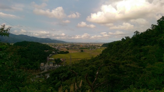
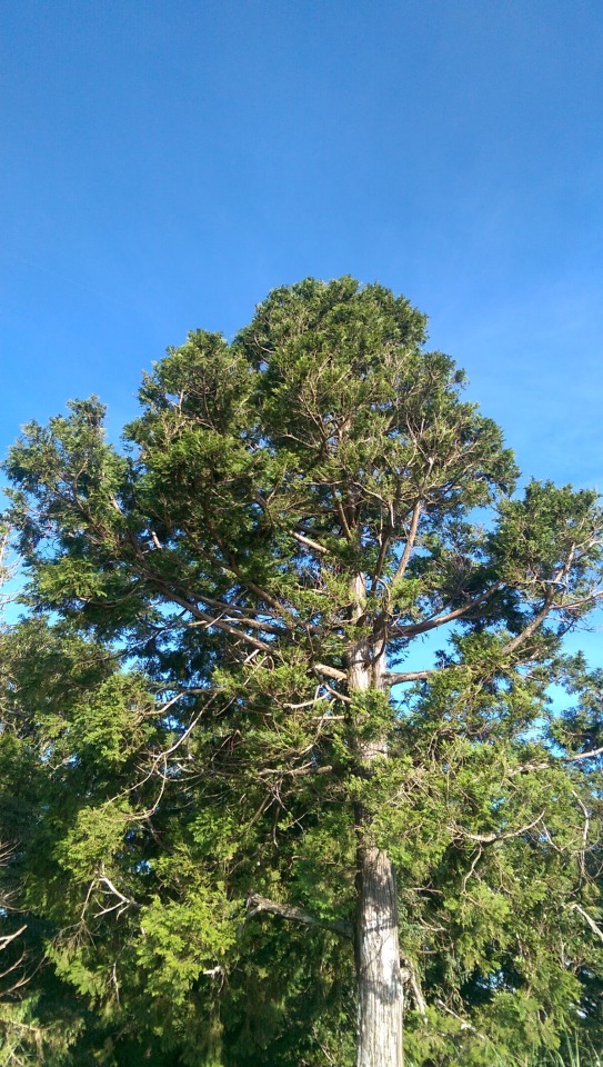
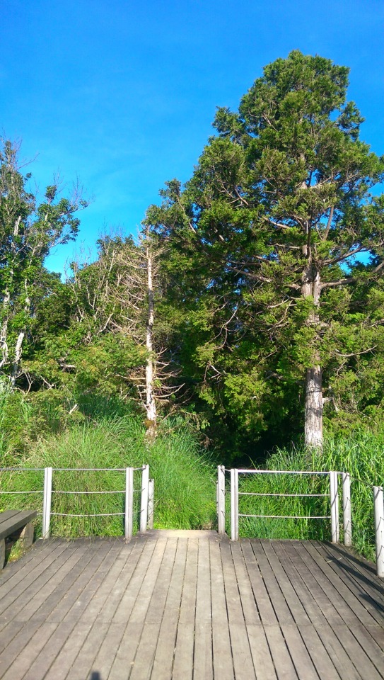
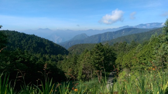
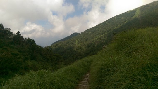
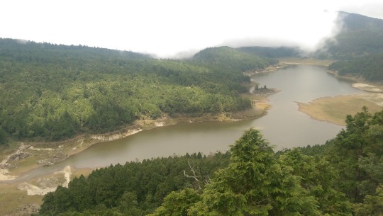
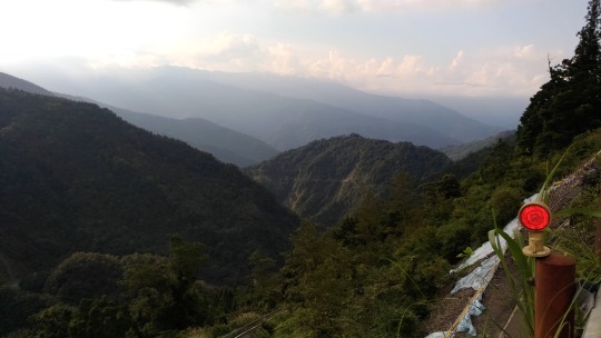
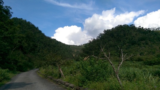
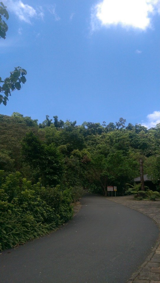
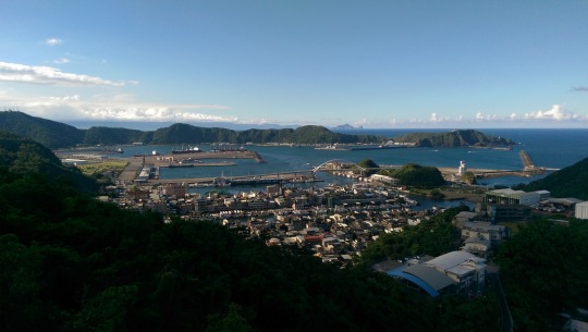
Setting off from Nanggang Station amidst a pretty terrifying thunderstorm hammering the neighbourhood, we caught the Taroko Express to Luodong and arrived promptly about an hour later in the searing afternoon heat. We hired a scooter and set off on 7丙 to the Ch’i-lan Forest Amusement Field (棲蘭森林遊樂區停車場) which sits roughly at the entrance to the Taipingshan National Forest Recreation Area (太平山國家森林遊樂區). The header image to this post was taken up the hill from Tiansongpi Train Station (天送埤火車站) looking back towards Sanxing (三星鄉).
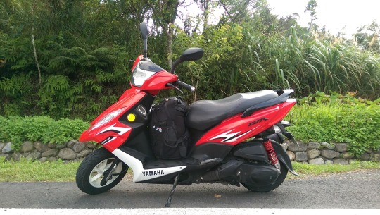
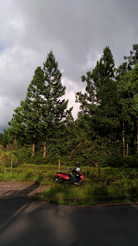
Our bike for the trip, a Yamaha 125 cc which is basically the newer version of my own trusty steed back home ...
A little side story here and a note of caution. As we were riding up Highway 7 and we had noticed that watermelons seemed to be a local speciality, I casually remarked that “I don’t like watermelons” and that instant I was smacked harshly in the face by some hard bodied fly. My lesson learned, from that moment, like the Ancient Mariner, I made sure not to slander the local produce or wildlife anymore!
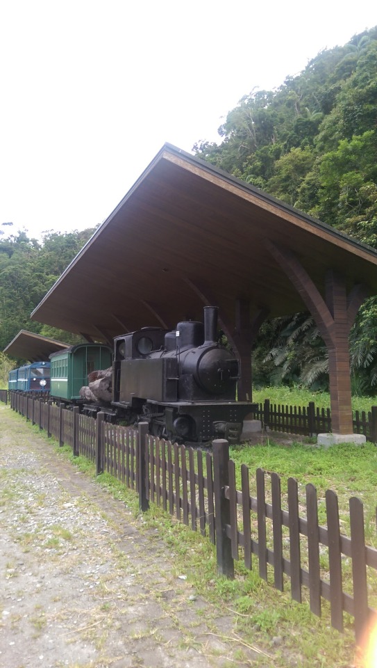
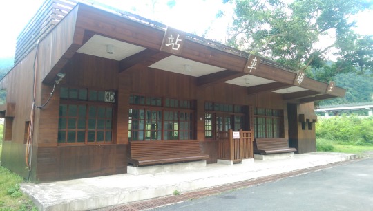
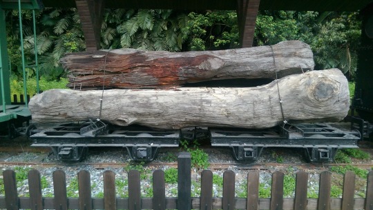
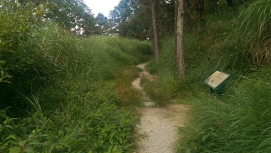
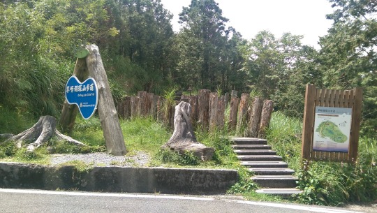
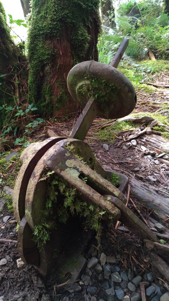
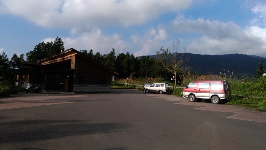
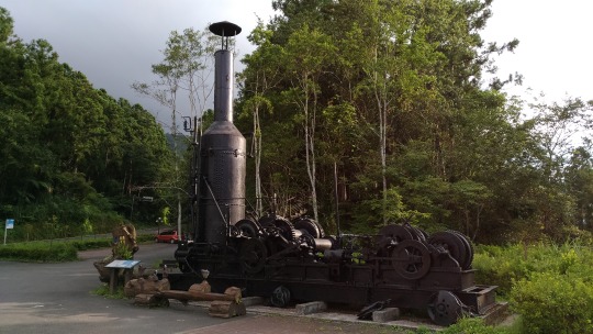
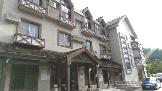
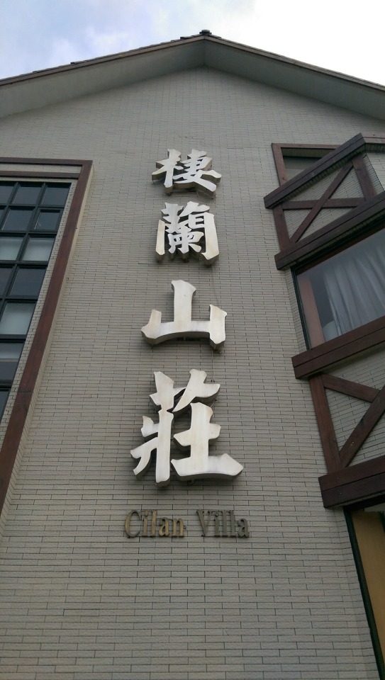
When we arrived at Ch’i-lan we checked in, walked a small trail up around the back of the resort for an hour (those interested can also visit one of CKS’ summer houses (蔣公行館) that sits in the resort behind the main building), and then set off to Tuchang Railway Museum. According to the Government website Tuchang was the unloading point for the Taipingshan logging industry ...
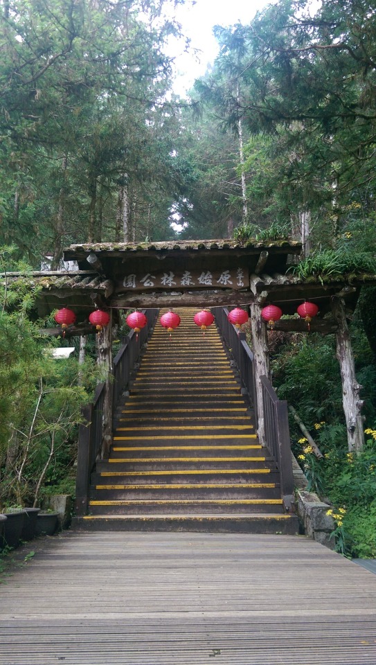
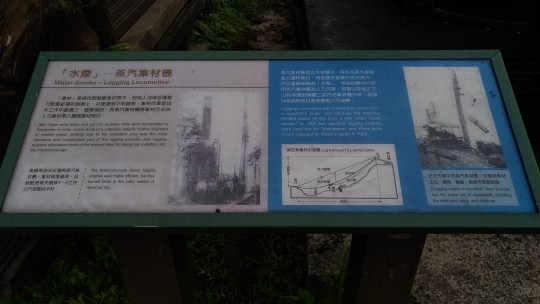
The gate of Taipingshan. Its name「Tuchang」-is a jargon in forestry which means the place where timber were unloaded and piled up. It used to be the starting point of forest railway. The parking lot next to it used to be the site for unloading timber.
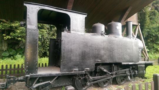
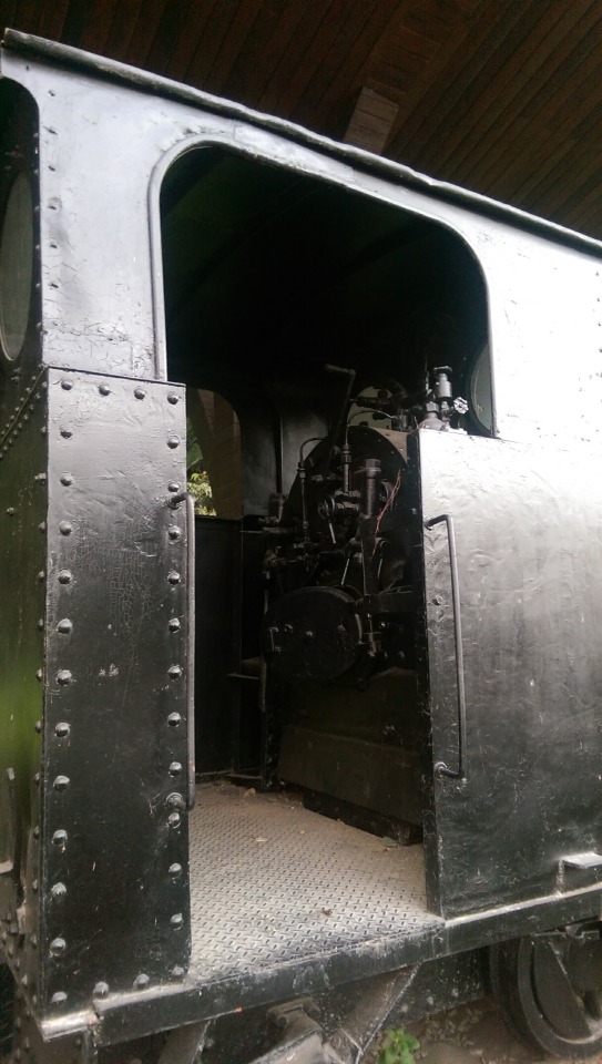
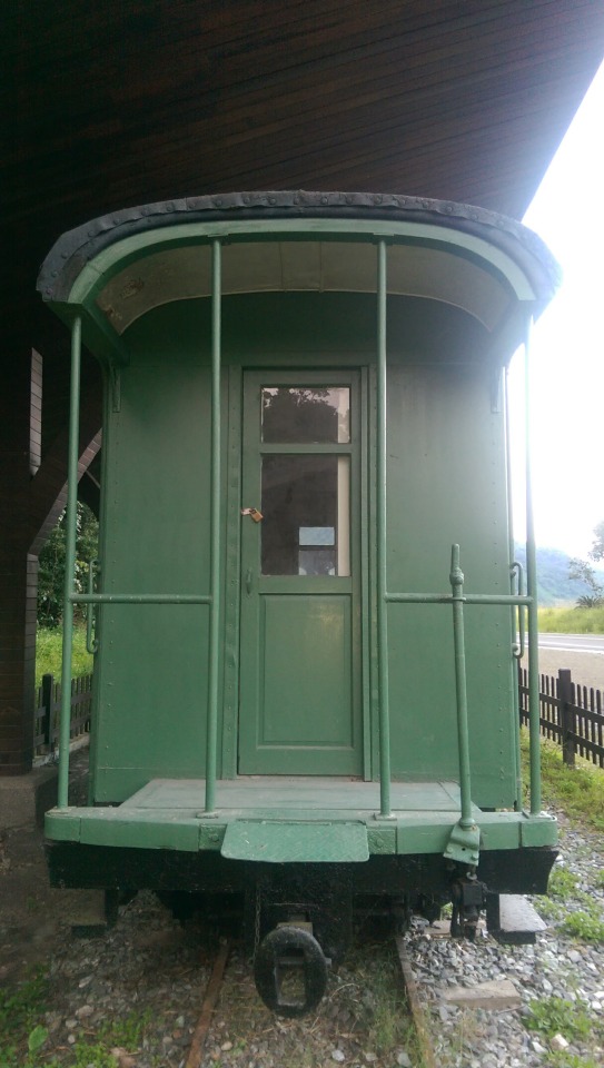
The old Tuchang Station is renovated and transformed into a memorial park of forest railway station including surrounding areas. A vintage locomotive carrying timber and a railway carriage are displayed here. Visitors can imagine their good old days from their well-kept appearances.
Not sure about that ‘good old days though given the extremely harsh and dangerous working conditions and the fact that the industry was based around despoiling the environment by stripping it of its oldest and largest trees. Nevertheless, as a train fan, it was nice to walk around the old engines and carriages ...
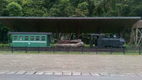


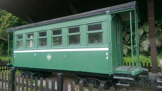
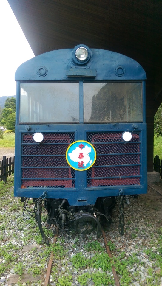
Note the badge on the front of this passenger locomotive ... it’s marked as the Zhonghua Hao (中華號) type of train which probably was an early trendsetter in the fashion of Taiwanese trains having political and motivational names ...
The Tzu-Chiang Limited Express was so-named from a phrase in an address that Chiang Kai-shek, the former President of Republic of China (Taiwan), delivered to his countrymen on 26 October 1971 in response to United Nations Resolution 2758, in which he urged the country to "Respect the Homeland, Strengthen Self ("Tzu-Chiang"); Respond to Change without Fear." U.N. Resolution 2758 formally recognized Beijing as the government of "China" and de-recognized Taipei, at the same time revoking Taipei's U.N. membership. For this reason, the Tzu-Chiang is also sometimes referred to as the "Self-Strengthening Express".
The inclusion of all of China and Mongolia on the map likely dates the train back to the 1950s before Outer Mongolia regained its independence.
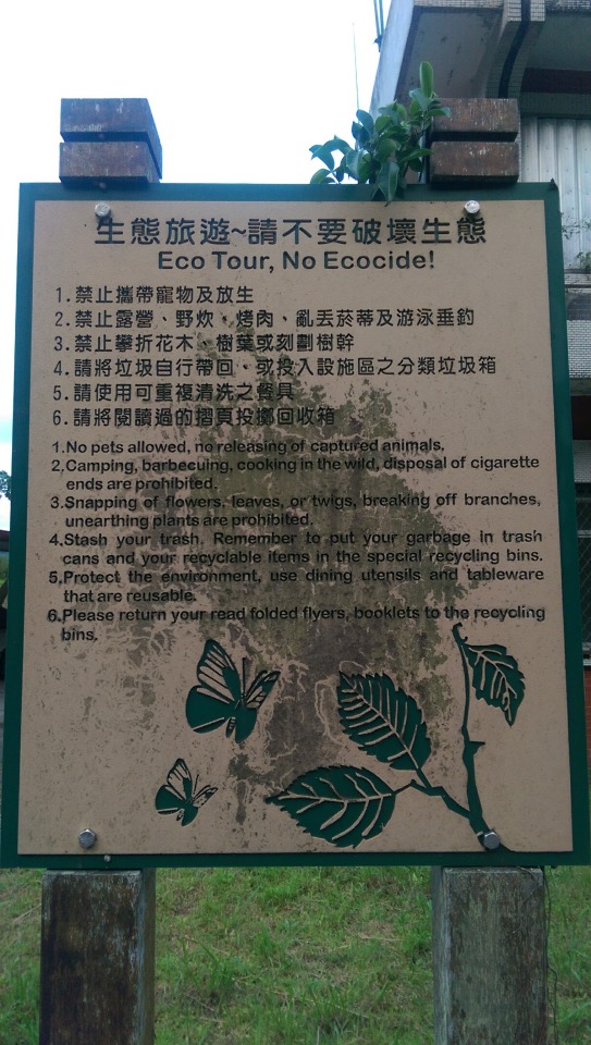
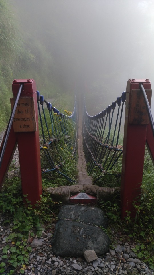
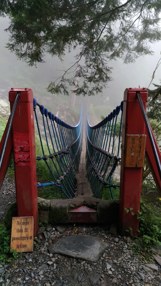
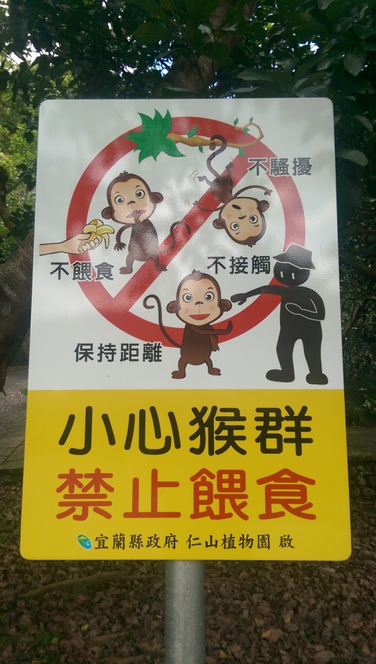
Nearby, tourists are advised about prohibited behaviour ...
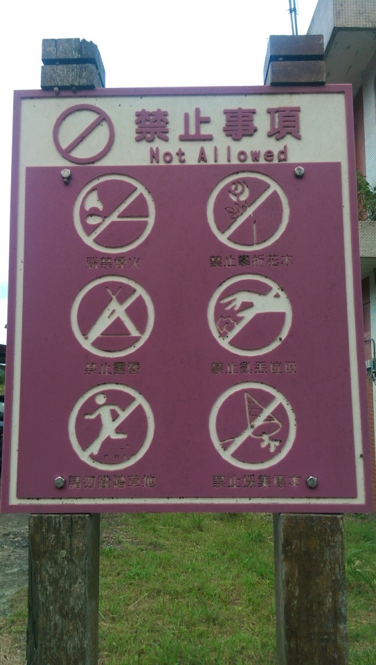
... some of which were a little unclear so they provided a written explanation ...
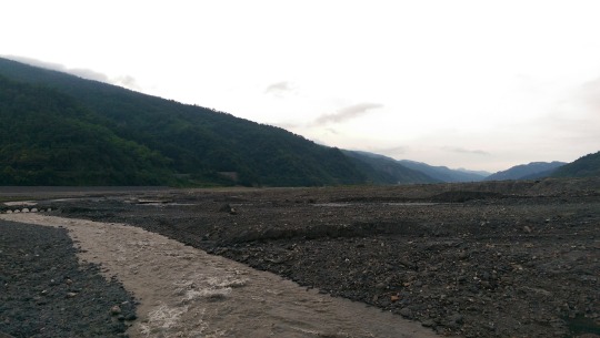
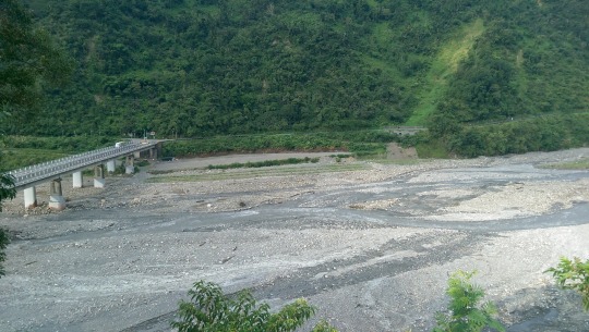
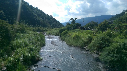
Next to the station lies one of the tributaries which feeds the immense Langyan River basin that eventually empties out to the Pacific at Qīngshuǐ Gǎng Wěi (清水港尾). As you can see, a lot of work has been done to build a flood wall here, probably mainly because of the immense damage Typhoon Soudelor did in 2015 when over 1000mm of rainfall fell in the area, almost submerging the railway station building entirely.
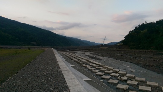
That such power can emerge to turn a steadily flowing but small stream below into a raging destructive torrent should be of no surprise given that the entire Lanyang River valley was carved by such forces over several millennia.
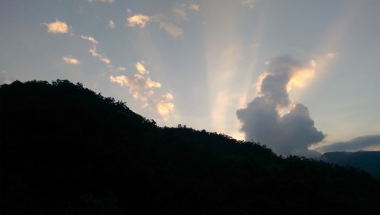
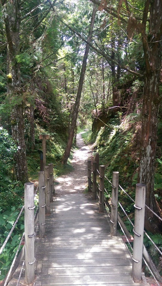
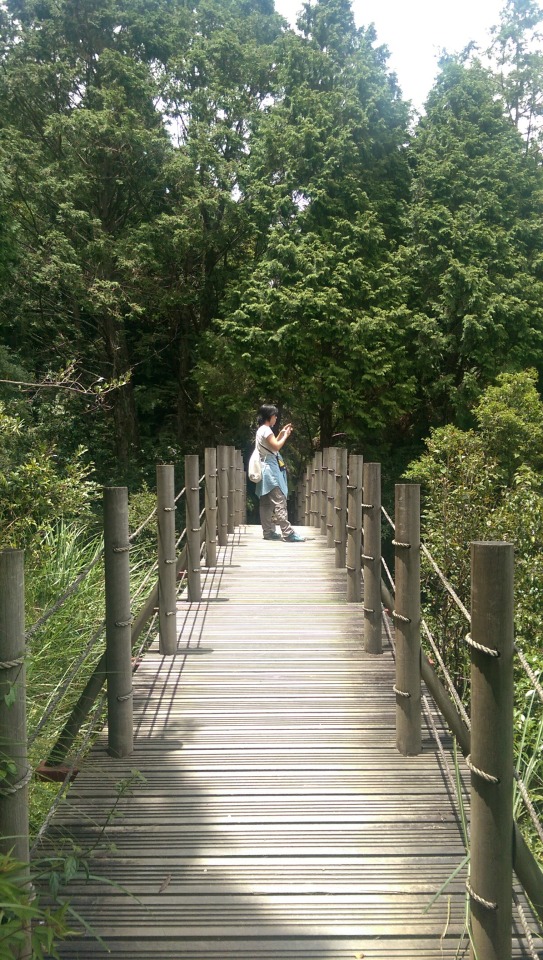
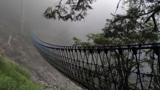
As the sun went down, we were bidden goodnight by these rather beautiful rays of light. In the Taiwanese mountains it gets dark (and cold) quickly so we popped back over the bridge and got to bed for an early start the next day...
DAY 2 - WANGYANGSHAN, CUIFENGHU, TAIPINGSHAN, JIANQING BUDAO, AND JIUZHIZE
Our plan for the day was to get up at 3:30am and ride up to Taipingshan, take a short break, then ride on to Cuifenghu (翠峰湖) and from there hike up to the Wangyangshan observation deck (望洋山觀日亭) for the sunrise. We would then have all day to explore the area and get a fair amount of hiking in.
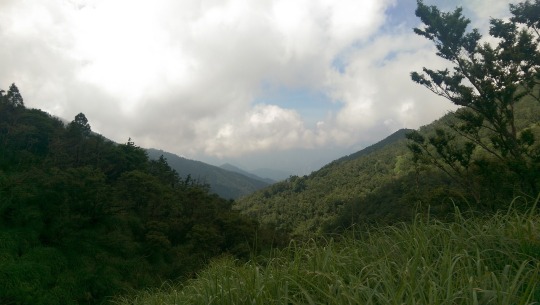
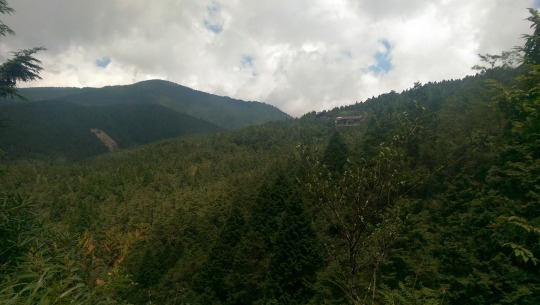
My first mistake was setting off at 4:10am. I actually hadn’t figured in the extra time it would take to get from Taipingshan to Wangyangshan. My second mistake was not bringing a heavy jacket and gloves. About thirty minutes up Taipinglin Road (太平林道) my hands were numb and EVA heroically loaned me her woollen hiking jacket on the logic that if she held on tightly behind me I would act as a wind buffer and we would both remain warm enough so that we wouldn’t fall off the edge of the mountain. I must admit, although I love mountain biking, doing a completely unfamiliar road in the cold, pitch black and with deer jumping out at me was not the most enjoyable part of the journey, and extremely tiring. Normally I would enjoy ascents because I could power up and around lots of hairpins but in this case it meant crawling along at 30~40 kph eyes fixed on the centre line and thanking the deities that we were the only ones on the road. I was more than relieved when we got to Taipingshan at 5:15am and could stop for bathroom and rewarming. This was the sight looking roughly south east ...

Sometimes the flash comes in handy ...
Literally a few minutes later dawn was breaking, and our hopes of seeing the sun rise over Wangyangshan dashed, especially when a local informed us it would take 40 minutes to get there ...

The main building at the base of the settlement, closed until normal people get up at a normal hour ...
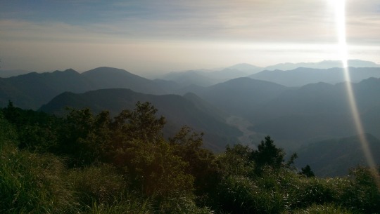
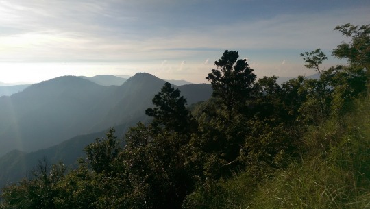
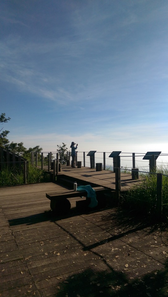
After a break, and with the sun now rising steadily, we made our way along the road to Cuifenghu and Wangyangshan, taking only 30 minutes to get to our destination, followed by an easy 45 minute hike up to the Wangyangshan viewing platform, where this was the view (left to right) at about 7am ...

EVA takes some snaps too ...
Not sure what this is but my guess is a solar powered meteorological station ...

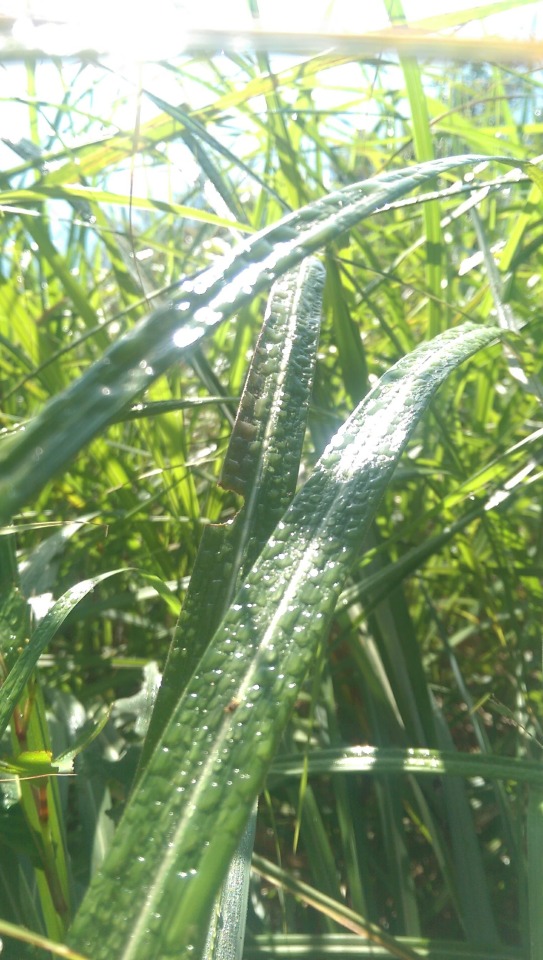
Sunlight glistens, reflecting on the morning dew ...
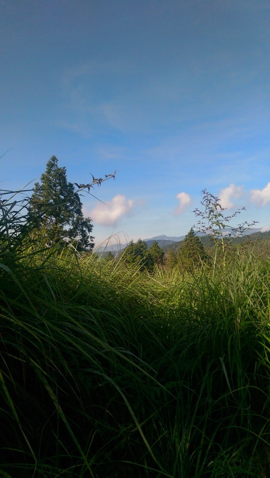
... and the green foliage contrasted nicely with the clear blue skies ...
... from the deck looking back at the trail ...
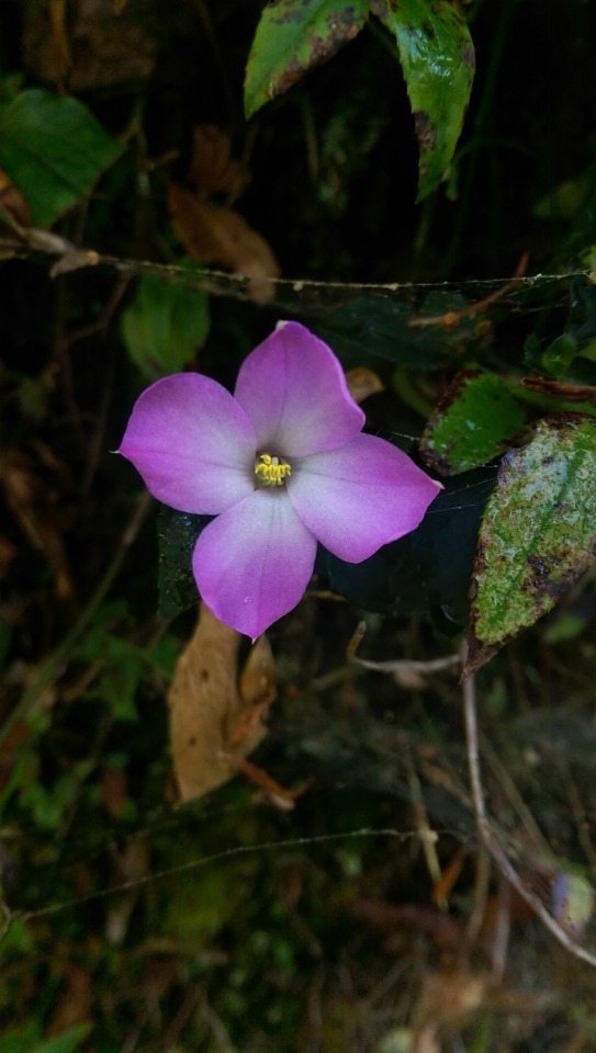
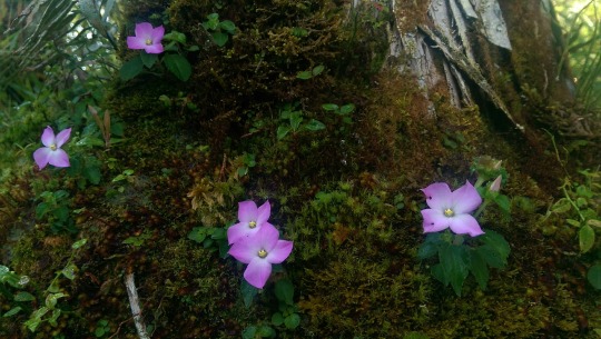
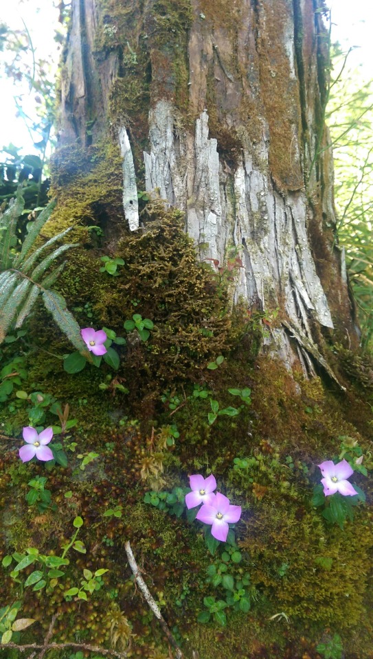
The following shots were taken on the path down from the Wangyangshan viewing platform. This has been a habit of mine recently as I’ve found not being distracted with photos is a better way to stay focused on a hike up a trail, conserving energy by keeping a steady pace rather than stopping all the time.

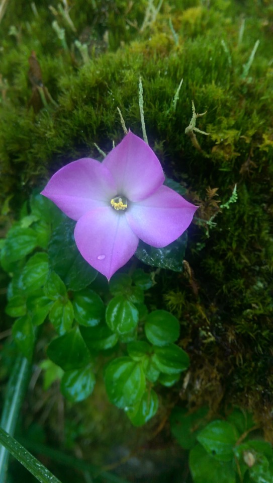


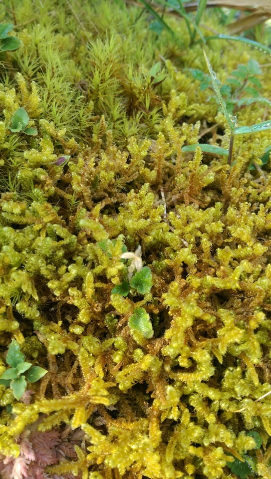


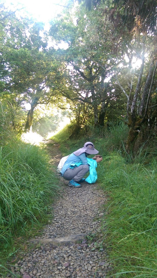

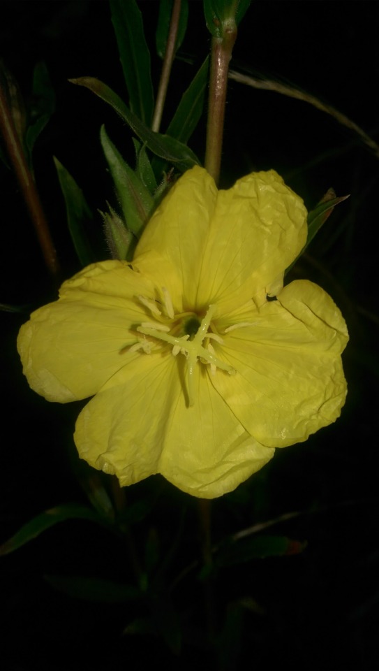
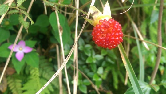
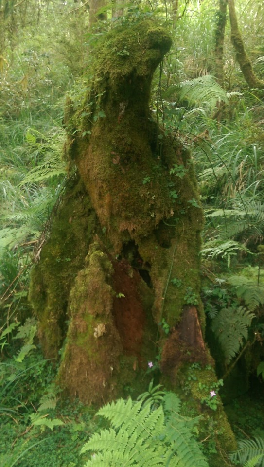
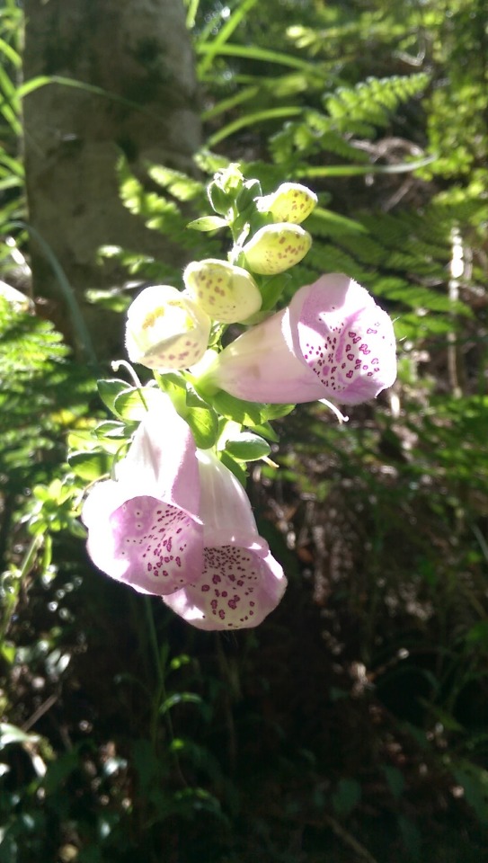
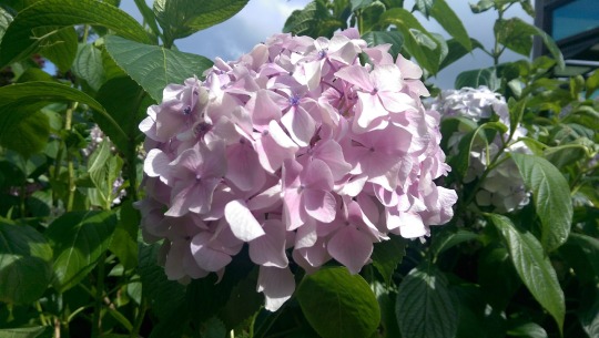
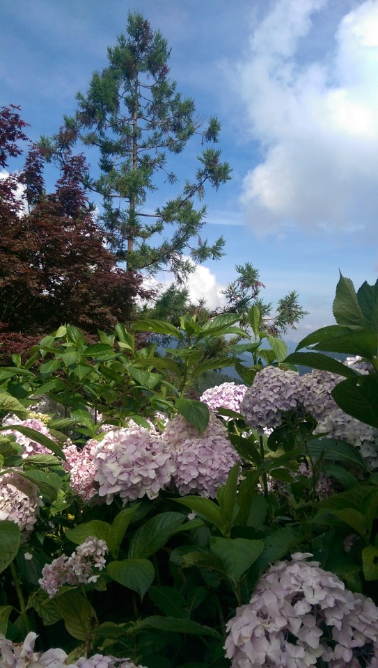
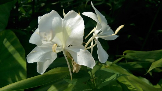
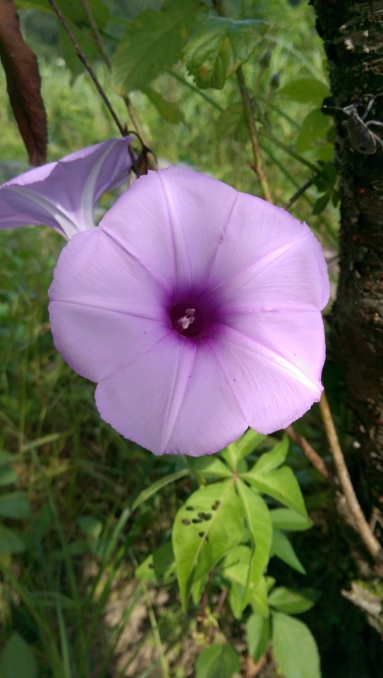
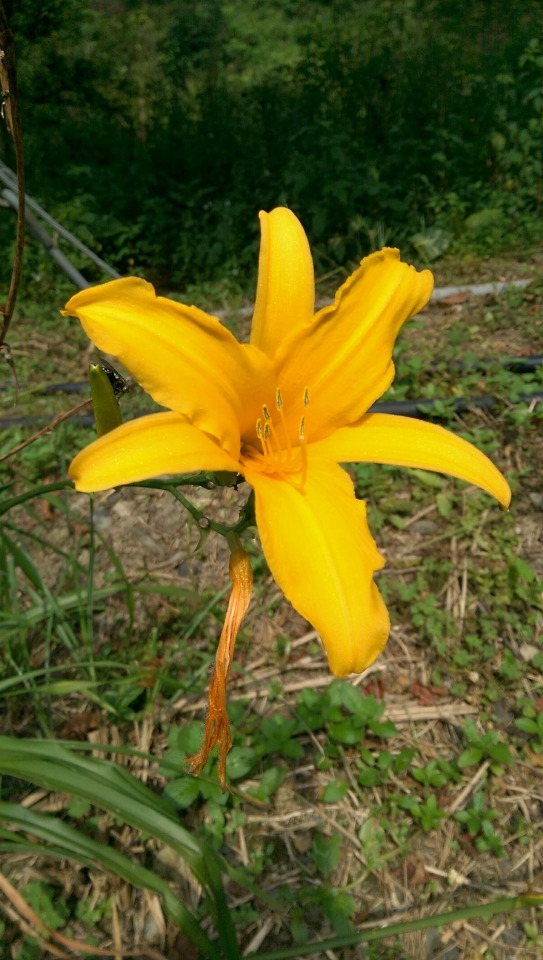
I really liked the combination of colours seen in these flowers growing amongst moss on bark ...
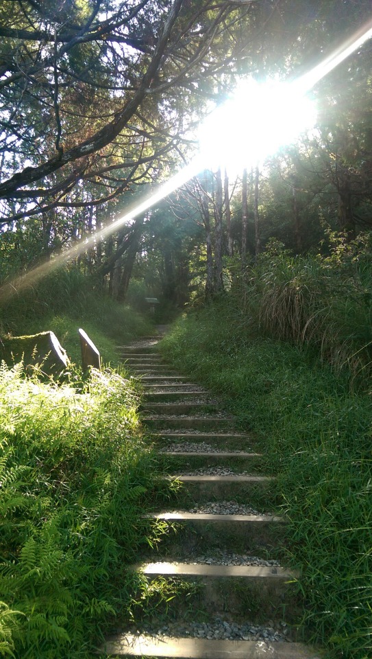
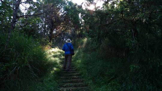
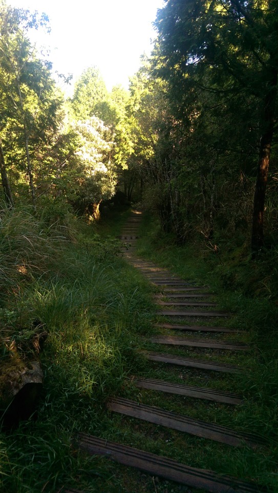
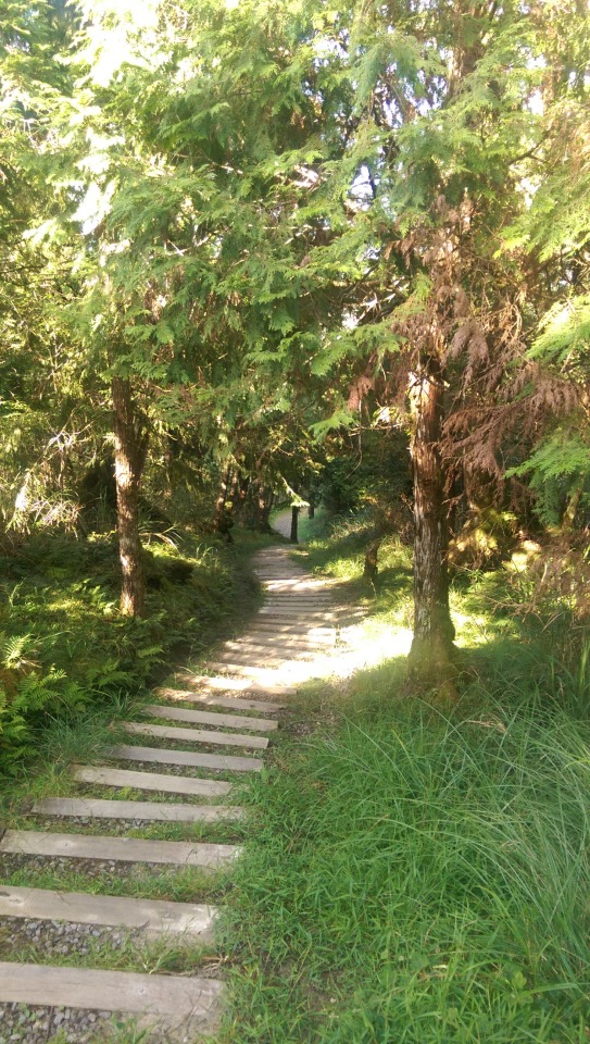
It’s a nice easy trail with great views along the way ...
“When wet this path is very slippery. Please be careful walking”

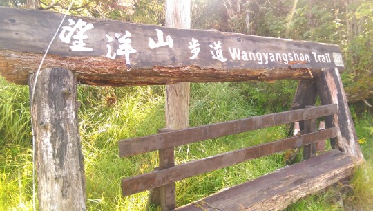
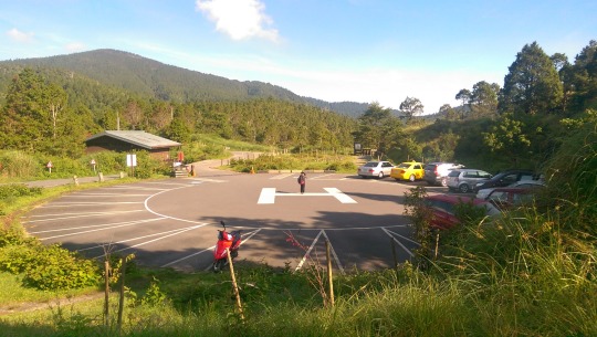
At the base of the WangYangShan Trail is a carpark that I only realised after I got back also doubled up as a helipad ...
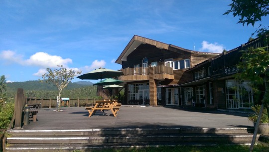
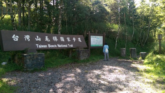
Just around the corner from here is Cuifeng Lodge翠峰山屋, marking the end of the road and from whose raised platform the views are expansive ...

At the base of the lodge is the start of the 3 hour, 3.9 km National Beech Trail ...

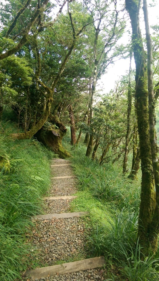
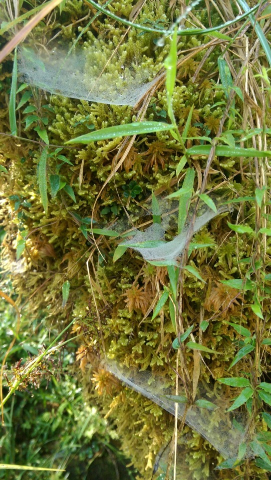
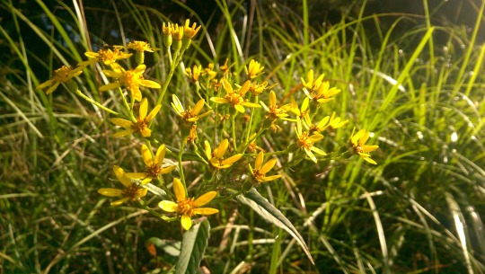
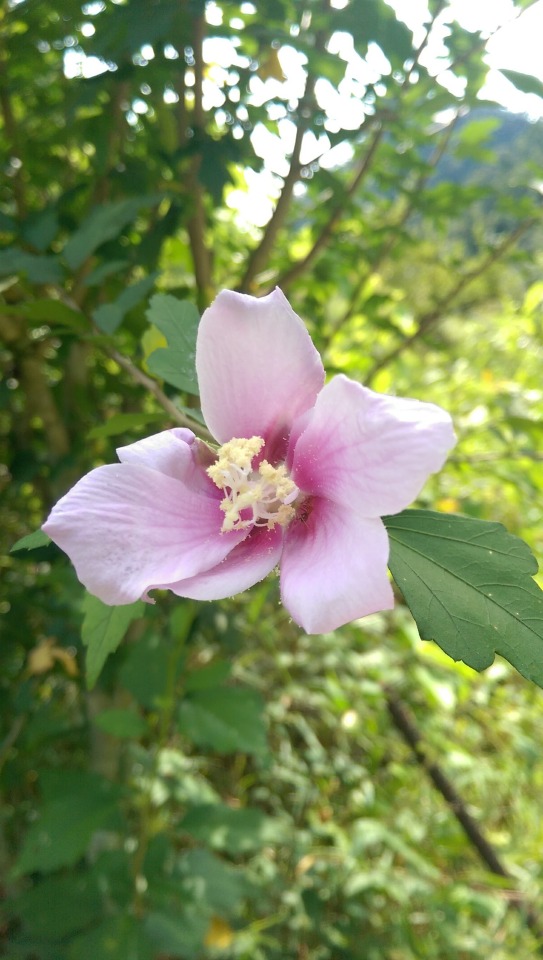
Flora and fauna alike ...

Looking back at the lodge ...

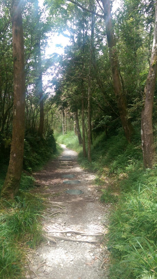
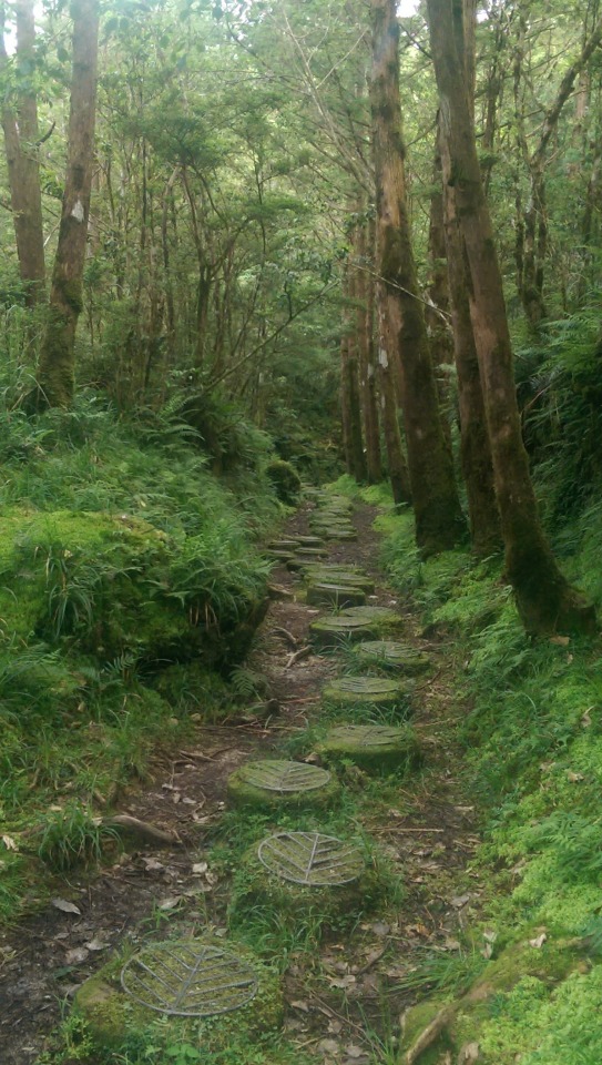
Lots of these path steps with reinforced metal grate indicate how muddy and wet the path can get ...

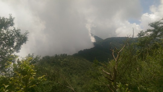
Unfortunately, at about the 3.1km mark the sea of clouds was all around us and we decided to abandon the goal of completing the remaining 0.8 km, deciding instead to return to the lodge for a much needed lunch of fried rice, boiled vegetables, and fresh cold oranges ...
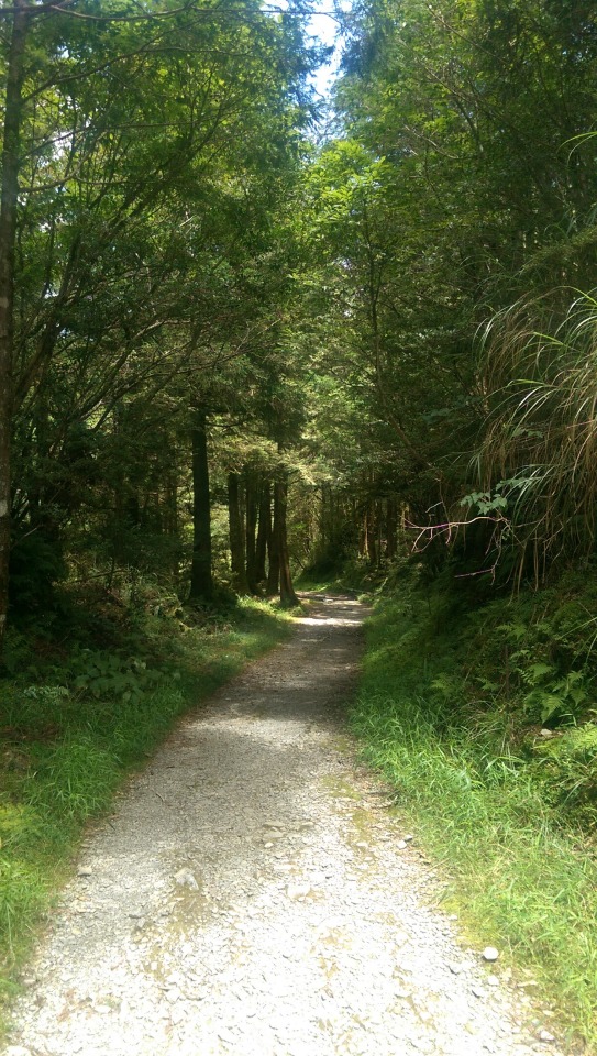
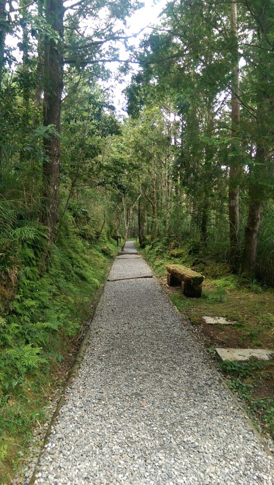
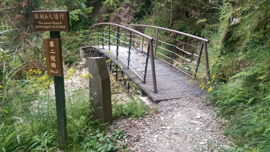
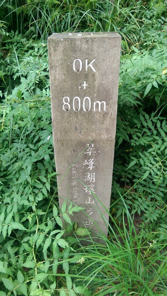
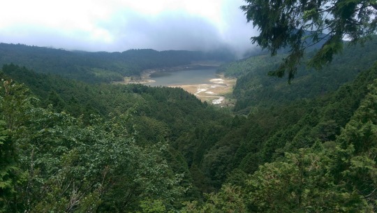
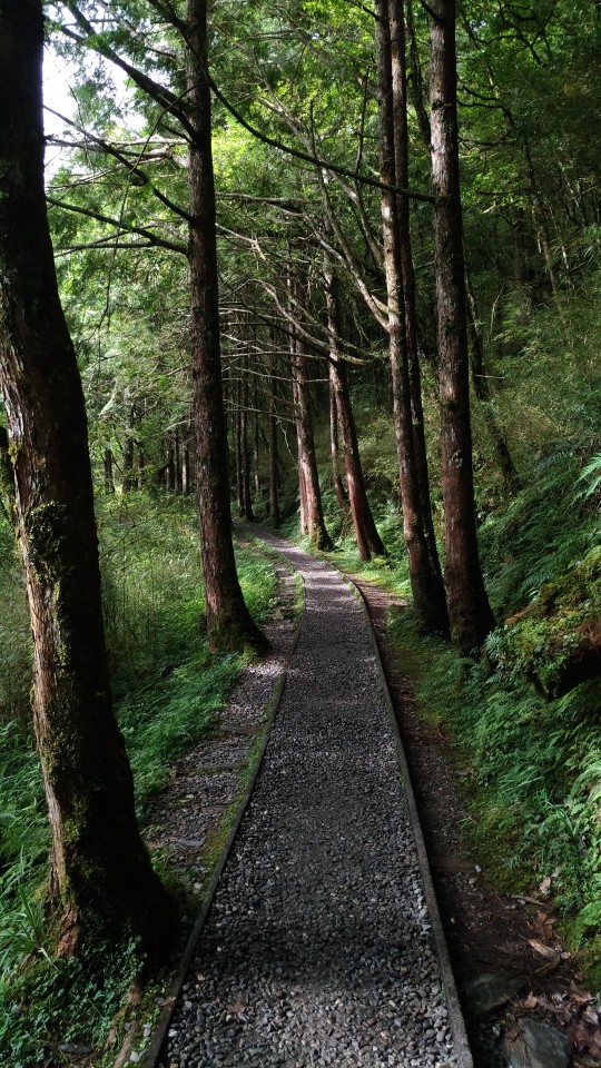
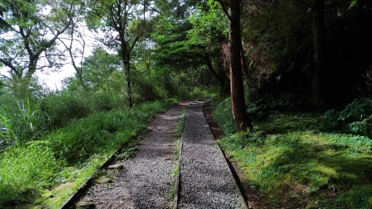
Next up, and very close by was a walk around part of Cuifenghu (翠峰湖) on one of the two Cuifeng Lake Circle Trails (翠峰湖環山步道). The lake is the highest situated in Taiwan and is entirely fed by rainwater, meaning that much of it drains to low levels outside of the rain season or absent any recent typhoons. We enjoined the trail up the side of the lake and walked to and from viewing platforms, the path again having originally been carved out for the logging industry.
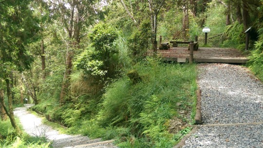
It’s a well tended and solidly paved trail designed for a lot of foot traffic ...
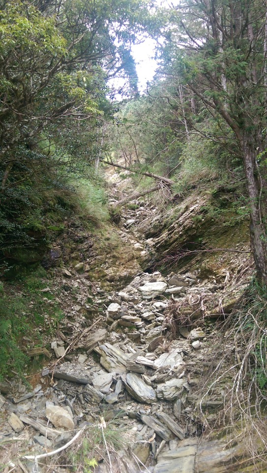
Landslides and the bridges constructed over them bear witness to the ever active geology of the area ...
There’s even a short section where someone has planted flowers on either side ...

You can spy the lake through the trees along the way ...
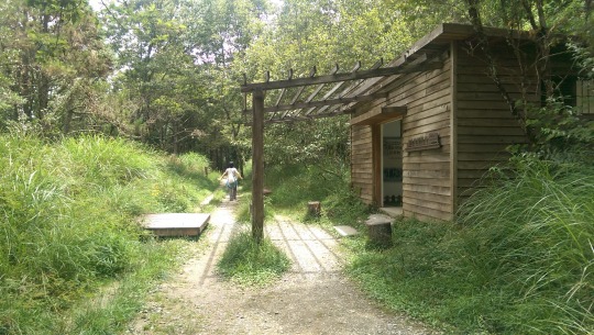
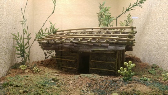
And visit this cement and wood oil storage hut converted to an information centre about the lake. It had to be a cement hut on the inside to prevent freak fires from igniting the oil stored there ...
And then there’s three viewing platforms which give a full view of the lake ...

That took us about 1 hour there and back, meaning we had chalked up about 4.25 hours hiking in the day thus far. With a warming afternoon sun shining down through fluffy white clouds and blue skies, we rode back to Taipingshan to visit the settlement there. Remember the first picture I took at dusk? Here’s more or less the same view at about 2pm in the afternoon ...

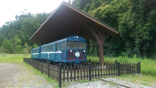
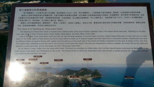
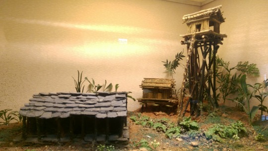
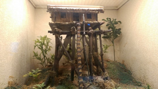
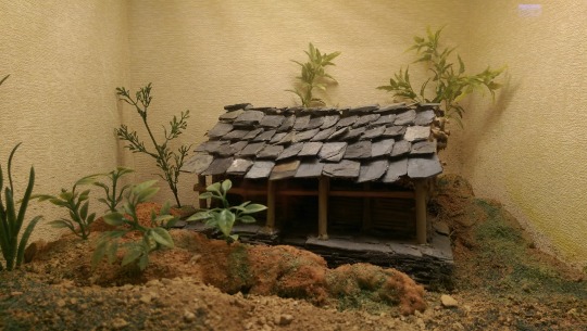
Taipingshan Village is now one of Taiwan’s premier tourist attractions but it was once one of the main logging stations on the East coast. This government website gives a brief overview of how the site was established for the industry. The village consists of one tree lined street rising sharply up the mountain to a temple at the end, with former logging buildings placed on either side, some now converted to shops an cafes. There was also a tourist railway but that was not open when we visited.
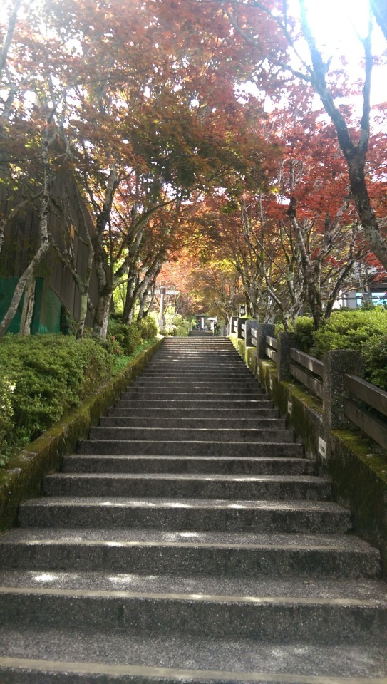


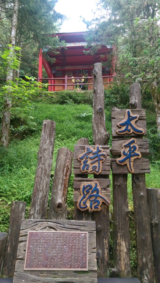

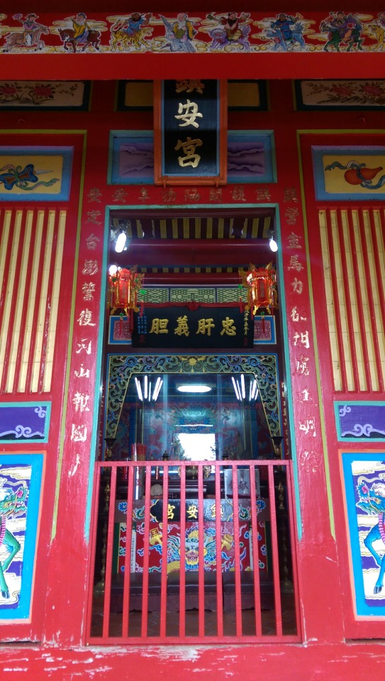
The view looking down from the temple ...

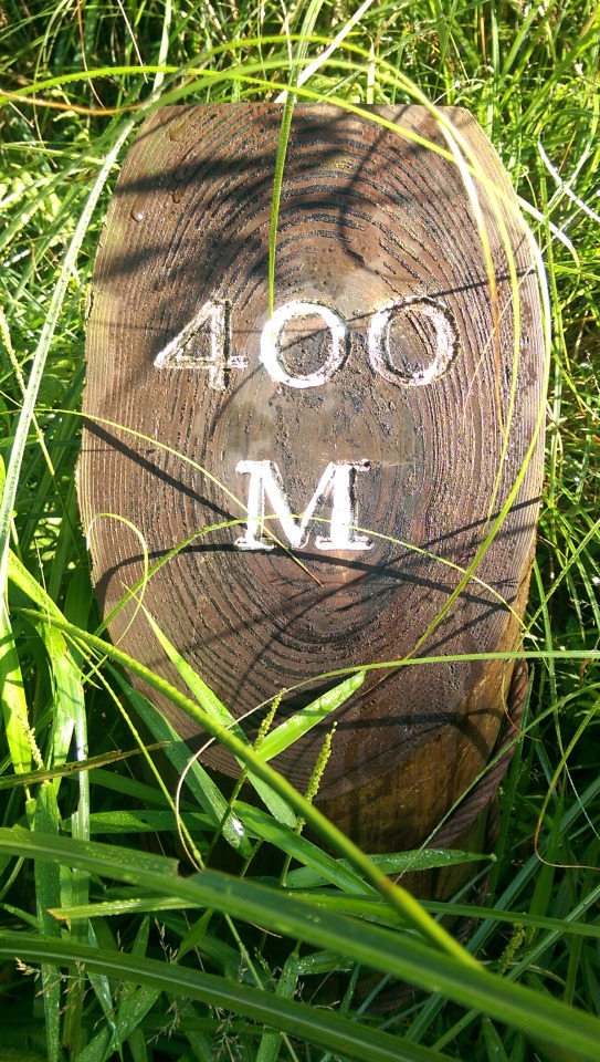
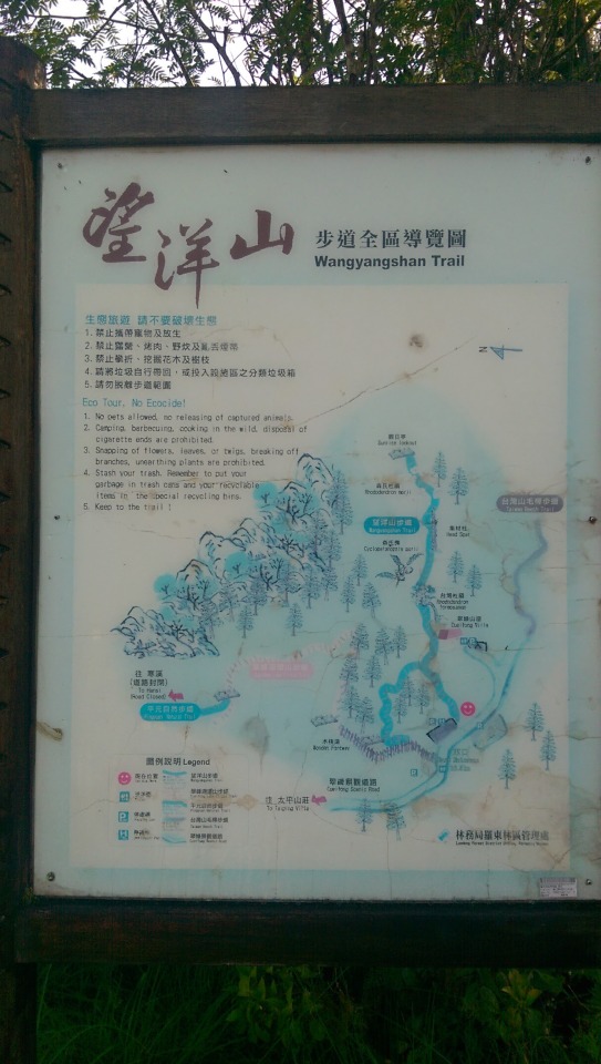
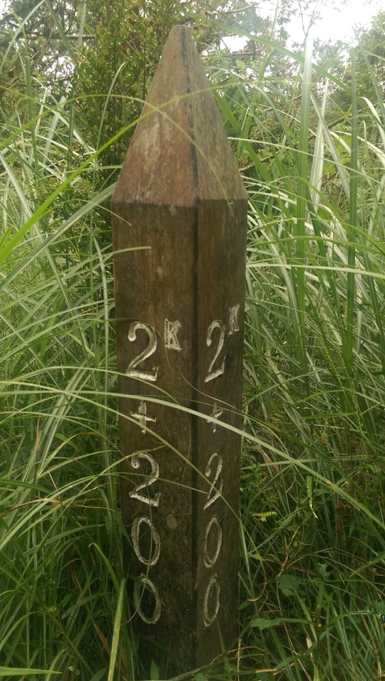
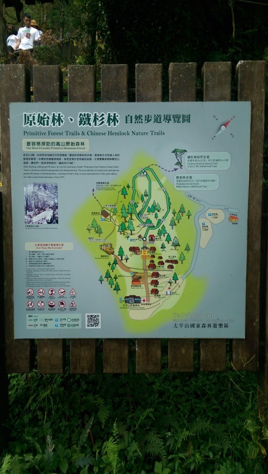
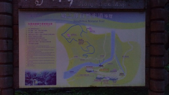
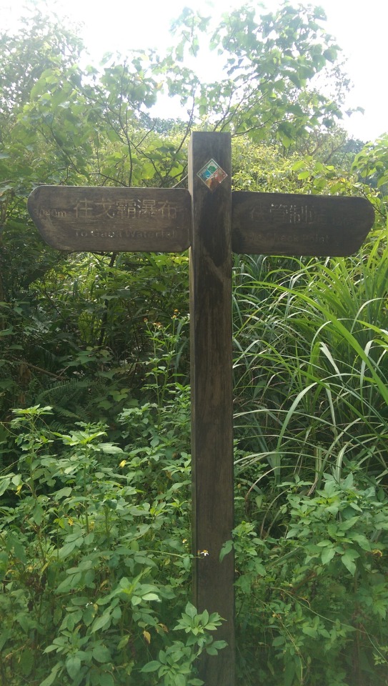
This sign shows that we only briefly glimpsed the area, with numerous trails yet to explore ...
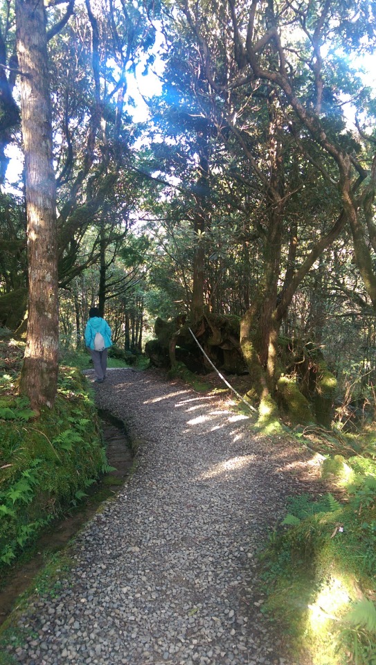
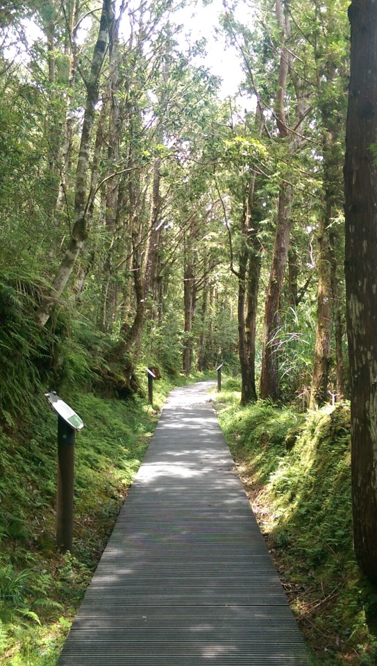
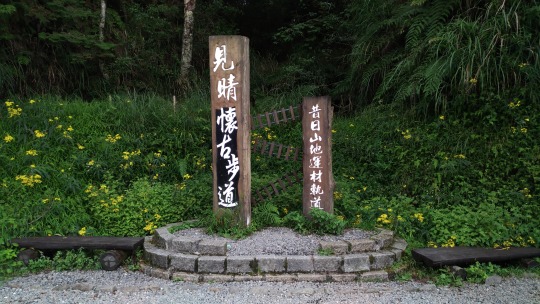
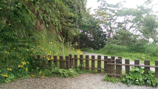
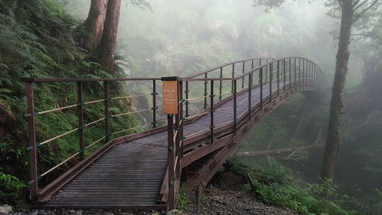
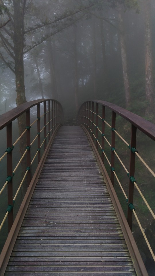
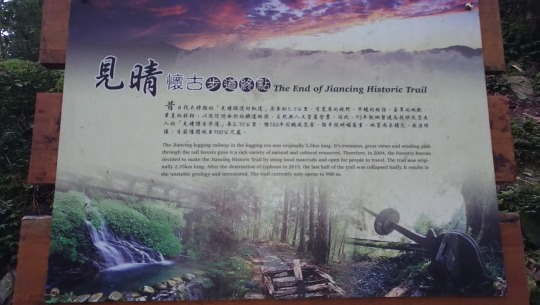
Having rested up, it was getting late in the afternoon so we decided on two more stops before heading back to the Chi’lan resort for the night. First up was Jianqing Historic Trail (見晴步道):
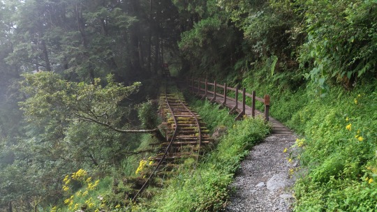
At Jancing, you can see the gorgeous views of Yilan Plain in the east and Holy Ridgeline in the west at the same time in good weather condition. As to Jancing Historic Trail, it was built on part of the old「Forest Railway- Jancing Line」 and the total length is 2.35 km. However, due to the landslide, only 0.9 km is accessible to visitors. The old「Forest Railway- Jancing Line」is about 5.5 km, it still retains the natural beauty and historical heritages along the railway as decades ago. Nowadays, you will see the railway tracks, wooden log cart and bogies on the trail, which can invoke the memory of old logging business.
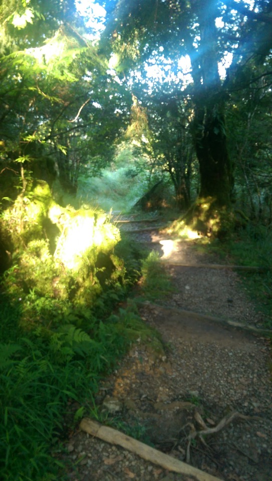
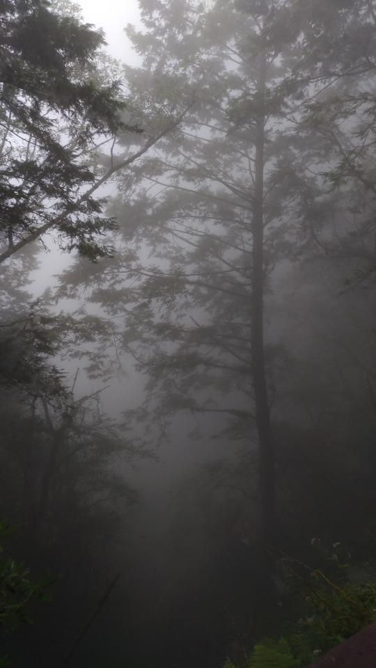
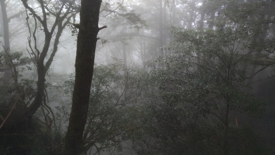
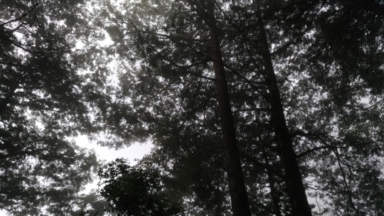
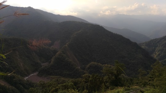
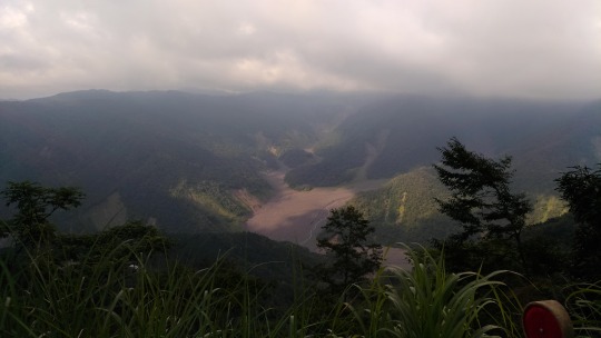
Sadly, the sea of clouds had once again stymied any chance of amazing panoramic views but the trail itself was very atmospheric in the fog and an interesting walk ...

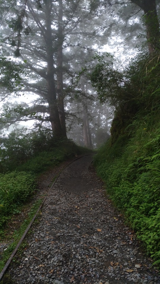
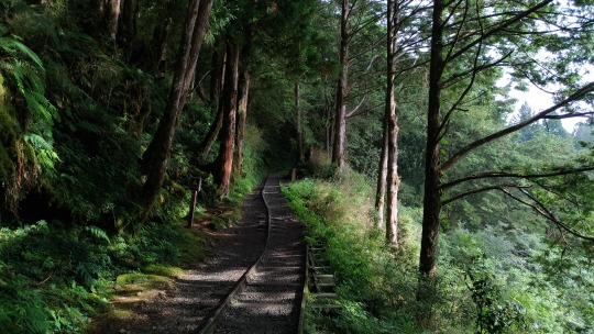
The entrance to the 900m trail ...
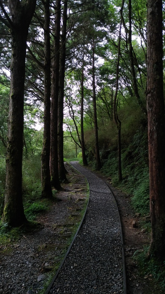
... and then you simply follow the path of the railway tracks ...
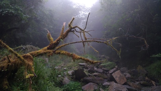


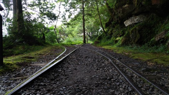
In places, you can see room has been made for two parallel tracks to allow switching of engines ...


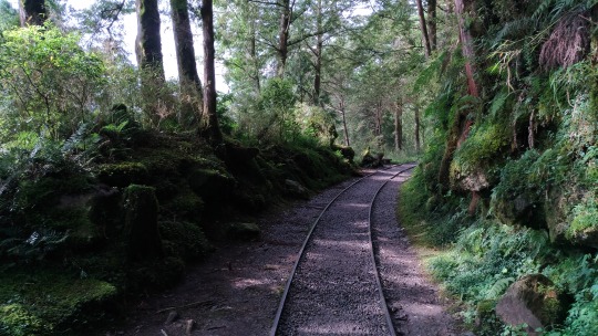
Probably what Jianqing is most famous for are the three sections of still roughly preserved railway that span across edges of the mountainside ...
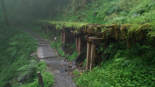
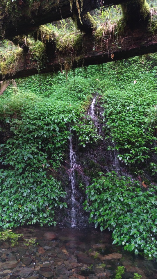

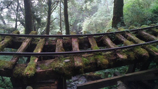
... and the bridges ...


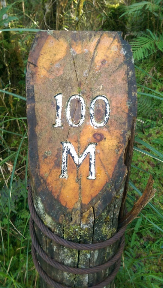
And then, rather abruptly, the trail comes to an end. As the sign below explains, the original line was an incredible 5.5km long and from this a 2.35km trail was repurposed but a typhoon in 2013 resulted in damage too costly to repair so we were agonisingly left with only 900m.

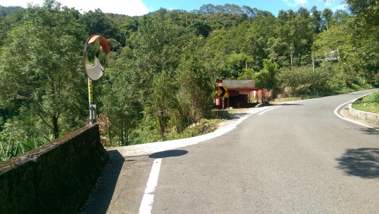
Since it was getting late, we headed off back down Taipinglin Road (太平林道) stopping off briefly at Zhongjian Visitor Centre (中間遊客中心) ...
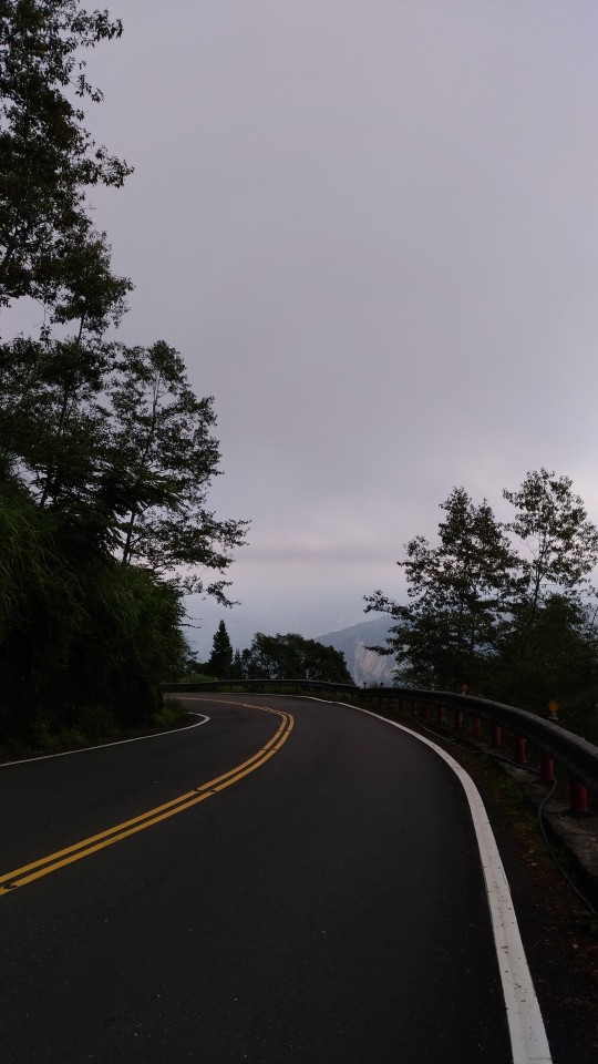

It may seem counterintuitive but going down is always a more tiring process than going up, whether it is hiking, motorbiking, or flying. The reason is that gravity is a harsh and unrelenting mistress who instantly punishes any disrespect shown to her. After forty minutes of constant hairpins on a slope that varied wildly between 1:20 and 1:10 and sore from constant braking (whilst praying the big bike and SUV racers didn’t slam into us from behind) I’d had about enough mountains for the entire day, if not the holiday. I was quite relieved then when we finally rolled into Jioujhihze Hot Spring for our last stop of the day. I don’t have any pictures here because I was too busy lying in the hot and cold pools to take any but I will say it now ranks in my top 3 of Taiwan’s natural outdoor hot spring spa resorts because it featured a) clean changing rooms with free spin drying machine b) properly paved pool area with gentle slope so no stubbing toes on jagged rocks c) reasonably and sufficiently cold cool pool and likewise the hot pool was entirely refreshing d) a nice view in the evening, and e) cheap. I will also say that it looked like Fred Flintstone had been called into life and consulted on the design. If anything you should visit just to try out the rock pools, by which I mean pools carved into single standing rocks. It was all in all just what we needed after an exceptionally long day that featured hours of mountain driving and well over 6 hours of hiking.
Below - Information boards at the hot spring spa resort highlight the attractions in the area (apologies: photos taken at sunset).

DAY 3 - SANXING / DONGSHAN
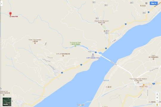
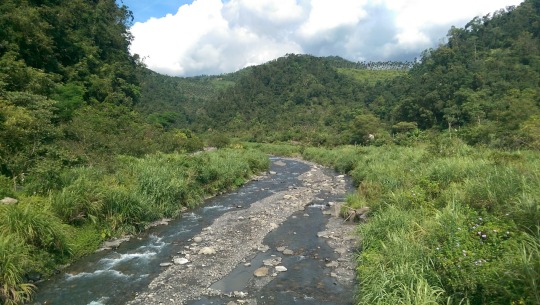
The next day we were up early-ish again with a mission to do a 3~4 hour easy gradient hike up to the Geba Waterfall, followed by exploring the farmlands of Sanxing ...
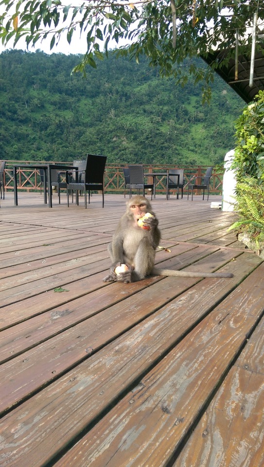
After breakfast at Chi’lan, as we sauntered back to our bike there was a brief commotion outside the main entrance. Turns out some of the local residents had sniffed out the day’s delivery of fresh fruit ...

I took the opportunity of the clear morning light to get some shots of the (mock Tudor - why?) resort and the surrounding valley ...

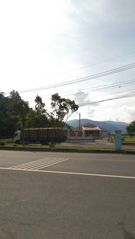
Those rows of green on the river bed floor? They’re watermelon farms, a speciality of the area. With a typhoon bearing down on us as I type I wonder if the farmers have harvested all that (weighty) fruit and how much will be lost if and when the river swells to a flooding torrent. The truck you see crossing the bridge in the bottom picture is carrying vegetables and fruit from the farming valleys in Lishan high in the mountains. The trucks thunder along the road daily. Here’s one resting up across from the indigenous village that sits at the base of the trail to the waterfall ...
It’s a charming little village with very friendly people and their even more affectionate pets (one small cute puppy adopted EVA as his new mother on sight) ...

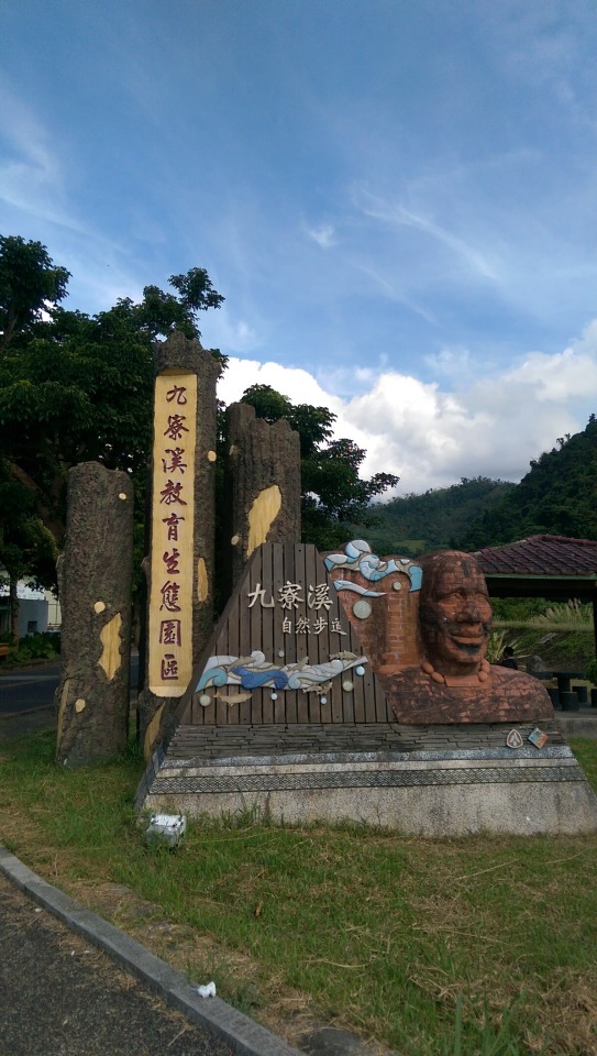
Before you get to the trail head, you walk along Ecological Park (九寮溪生態園區) which itself is very nicely maintained ...


Alas ... as can be seen above the trail was gated off and closed for repairs. Only later, after we had given up and were taking a break with drinks and nibbles in a restaurant at the village were we told that the repairs didn’t mean the trial is impassable. We plan to return to complete this trail in November (and at the same time check out the Fushan Botanical Garden (福山植物園) which requires booking one month in advance). Despite this blow, we enjoyed the walk through the ecological park around the river, although the bright sun and heat, even in the morning was relentlessly intense ...

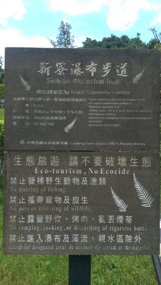
With our plan for the day up in the air, we quickly decided to check out another waterfall on the south east side of the Yilan delta, the Xinliao Falls (新寮瀑布) near Dongshan Township ...

The trail up to the falls is an easy 900m walk along the river and it’s a popular tourist location so it was quite busy despite the heat ...


There’s a viewing platform from which to see the entire fall and the pool below it ...
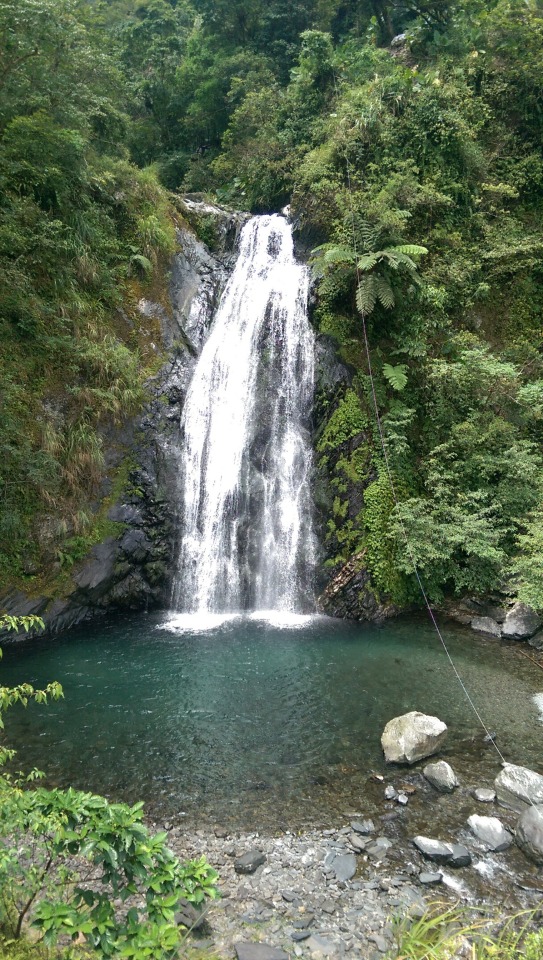
Although the path down to the water is ‘closed’, this did not prevent many people, us included, from jumping in and the clear waters were cold but intensely relieving to sit in after a hot, dusty hour riding the farmland roads ...

A group of school kids wade in the water alongside us ...

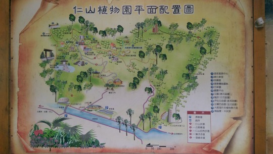
Refreshed, we briefly checked out the nearby Ren Shan Botanical Garden (仁山植物園) but since we were tired we declined the effort to walk up around it (it’s on the side of the mountain) ...


I never realised when I came to Taiwan that it had such an abundance of endemic species including monkeys, bears, leopard cats, pangolins, dolphins, and butterflies.
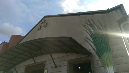
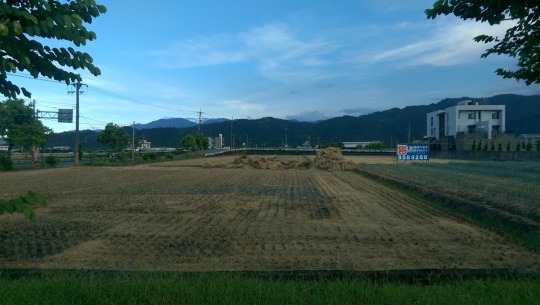
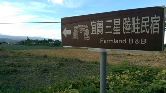
By now it was getting to be late afternoon so we decided to head back to Sanxing and check out a museum dedicated to its most famous agricultural product: the scallion ...
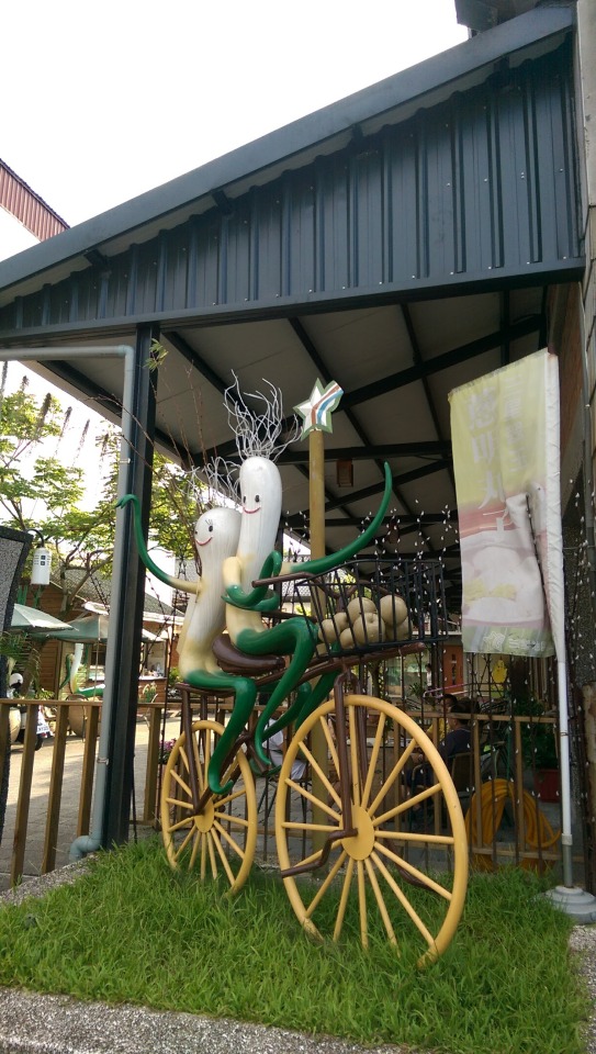

It’s amazing the variety of products in the museum shop that the scallion was adapted into. We bought scallion pepper and rode off for dinner in Luodong through the sun setting on the rice and scallion fields ...


Below is where we booked our stay for the night, a delightful old Qing style three-sided farm house converted to a B&B ...

DAY 4 - KAYAKING IN DONG’AO
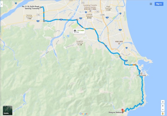
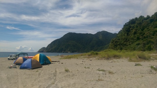
Having oriented ourselves the night before, we set off at about 7:30am for the small cove town of Dong’ao where we had booked a sea kayaking excursion. The road to Su’ao (over 2/3rds of the total distance) was flat and took about half an hour and then the rest of the time was spent on the visually dramatic, intensely overly used, and poorly paved, Up-N-Over the mountains on Highway 2 to our meeting point at Dong’ao Train Station (it took us exactly 1 hr 5 mins)...
We had chosen the 9am start time which in retrospect was a bit of a mistake since that was probably the busiest time as there were about forty to fifty people in our group. Thankfully the weather was clear and the seas fairly calm.

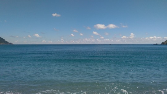
Here’s the beach, from left to right looking East at the gleaming Pacific Ocean ...
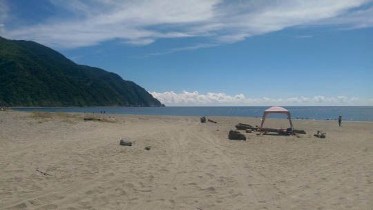

As is the case with many of the beaches on the East Coast of Taiwan, some parts are sandy but the default tends to be small stones which turn into burning rocks under the midday sun ...
Unfortunately, it turns out that an earlier group had gone out and been battered by winds and were unable to return in time and thus we were short on kit, thereby necessitating a motor boat to go out and tow them back up the coast, and so we had to wait on the beach in the burning sun for over an hour watching other groups take to the water and leave us behind (we were split into four groups). Finally, the company decided to put us on the back of the truck and drive us up the bay for a starting point closer to where we would be kayaking, thereby reducing our time paddling out there (and the time we had rightly paid for!). Here EVA gets ready to board our inflatable speedy kayak ...
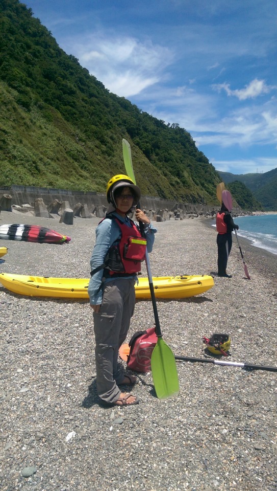
And then, finally, we were off! ...
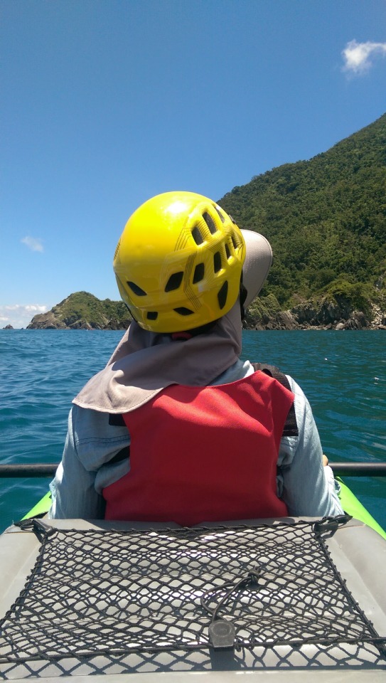
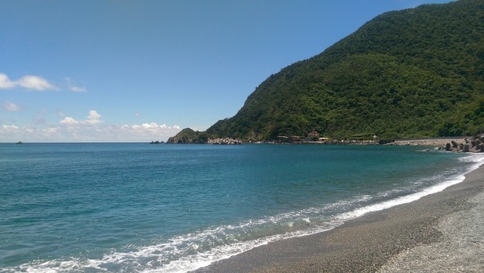
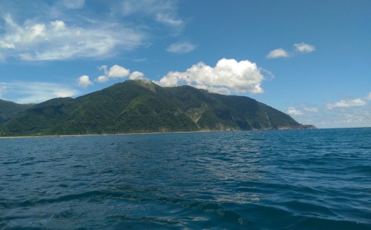
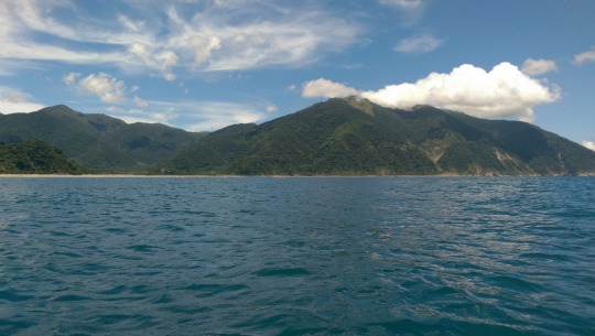
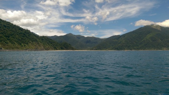
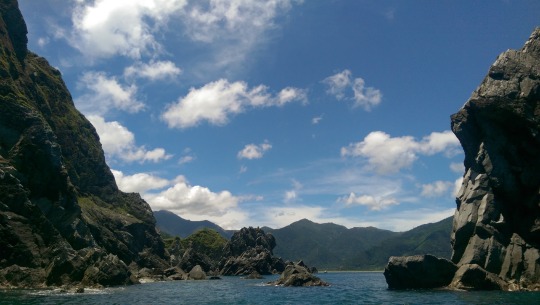
The view of the bay and the mountains behind it from the water was spectacular ...

There’s a little shallow cove that we paddled too which features a small cave ...


Some people swam into the refreshing, clear waters, and we took group photos of all the kayaks strung together whilst we played around trying to stand up and balance each other.
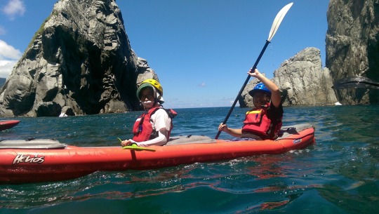
One of our two guides. The clever people cover themselves from head to toe because it takes about 10 minutes on the water to start burning ...

This prominent solitary rock at the entrance to the cove struck me as having curiously anthropomorphic features ...

And then, it was time to go back to the shore. Good fun but limited in variation. The company do offer trips out to more dramatic coves further away and dawn and dusk trips. maybe we’ll try that next time or kayak somewhere else. It certainly seems to be a holiday activity that rising in popularity in Taiwan recently.
Back on the hot beach and soaked in sea water having failed to make a competent shore landing without falling in the surf, we decided that the next destination should be Dong’ao’s famouse natural cold springs about 5 minutes bike ride from the Train Station. I didn’t take pictures there but there’s lots online about it . Three things made this location memorable. Firstly, although it sounds a bit industrial, the railway bridges over the cold springs are an ideal place for the train spotter to watch all the different locomotives shuttle between Yilan and Hualien, from local slow trains to the new Taroko and Puyuma Expresses. Secondly, thankfully there are a number of stalls selling food one of which was a lady doing BBQ Taiwanese sausage that hit exactly the right spot after hours on the beach and sea. Finally, a note about the water. It really is cold, and by cold I mean take your breath away icy. I cleaned my sunglasses in it and they remained frosted for about ten minutes after I took them out of the water. I wouldn’t recommend just diving in, unless of course you like shocks to the system. I’ve been in many cold pools (including nearby Su’ao) in my time in Taiwan and this was pretty much the coldest. It made the Xinliao falls feel like a hot spring. All that said, my god was it refreshing. Final note. the cold springs are a major Taiwanese tourist spot so come ready to share the place with the screaming hordes ...
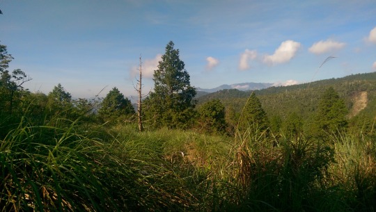
Sated and comfortable again, we headed back up Highway 2, stopping to take pictures of the stunning panorama’s along the coast ...

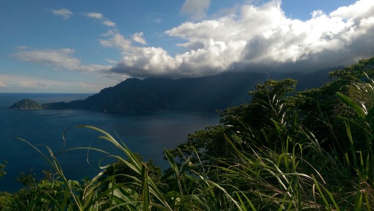
See those rocks jutting out? That marks the busy ports of Nan’ao and Su’ao from where you can even see Turtle Island in the distance ...
Finally, we rode back to Luodong and met up with our CouchSurfing hosts who showed us their favourite local vegetarian restaurant (we had actually been there the night before also but the food was so good we were happy to eat there again) and then they took us out to the beach to hang out with their friends around a beach fire under the stars and a flaming huge moon. A perfect end to a long but stimulating day.
DAY 5 - MINGCHI AND HOME
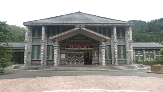
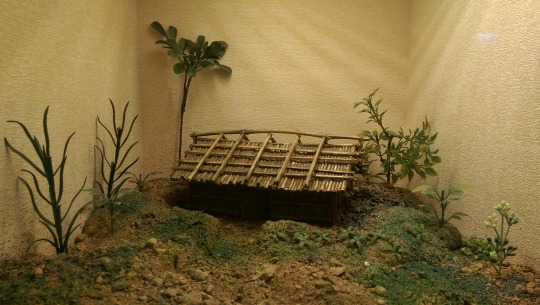
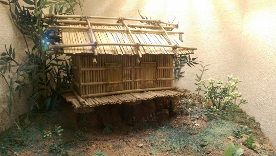
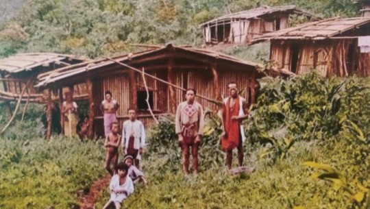
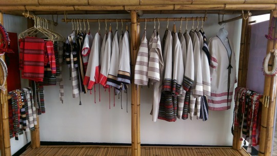
Since we wanted to get back home with enough time to unpack and relax, we decided on only two activities on our final half day in Yilan, a visit to the Atayal Life Museum (泰雅生活館) very close to the Geba Waterfall and an exploration nearby (ish) to find a natural hot spring we had learned about. The Museum was well constructed and almost entirely empty so we sauntered around at our leisure ...

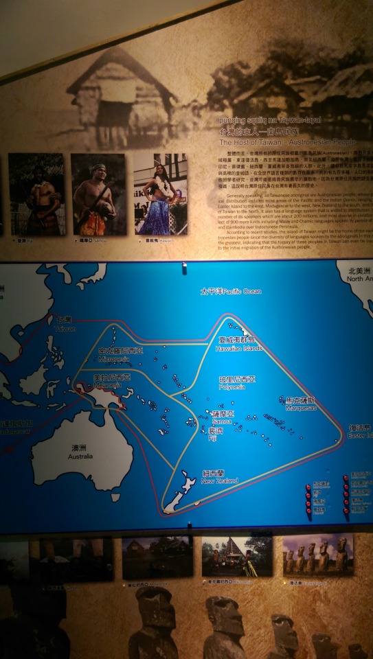
The information boards below detail both the various indigenous groups in Taiwan as well as research showing that Taiwanese indigenous groups may have been the origination of a group of peoples who later colonised a vast area of Austronesia stretching from Sri Lanka to East Island. A short note here. It is an egregious and widespread error to use the term ‘Austronesian People’, one that I often see on blogs and in media. The term ‘Austronesian’ refers to a language group whereby ethnographers and anthropologists found linguistic commonalities between diverse groups of people across this area, suggesting a possible shared language root or origin thousands of years before. In the time that has passed, different groups of people such as the New Zealand Maoris, Australian indigenous, and Taiwanese first nations have developed their own specific languages, cultures, customs. Inside Taiwan alone, there are at least fourteen different languages, many of which are mutually unintelligible. There’s no such thing as an ‘Austronesian people’ today.

Atayal house construction and model examples ...


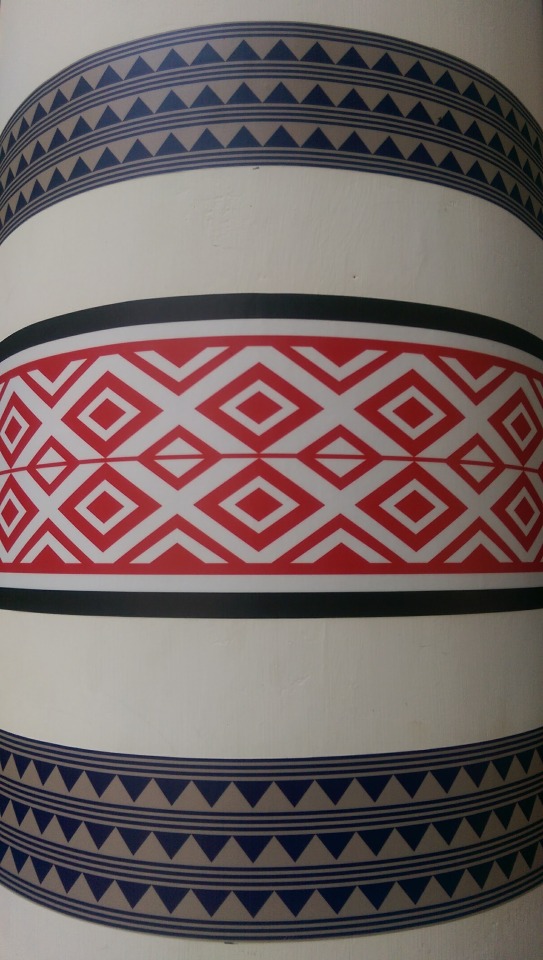
This was the section where people could dress in traditional Atayal clothing and have pictures taken. We declined to participate. (We did however make some bead keychains, which now adorn my key bag.)
The Atayal are perhaps the largest and most geographically widespread of Taiwan’s indigenous groups and there’s also a museum dedicated to them in Wulai that’s also very instructive.
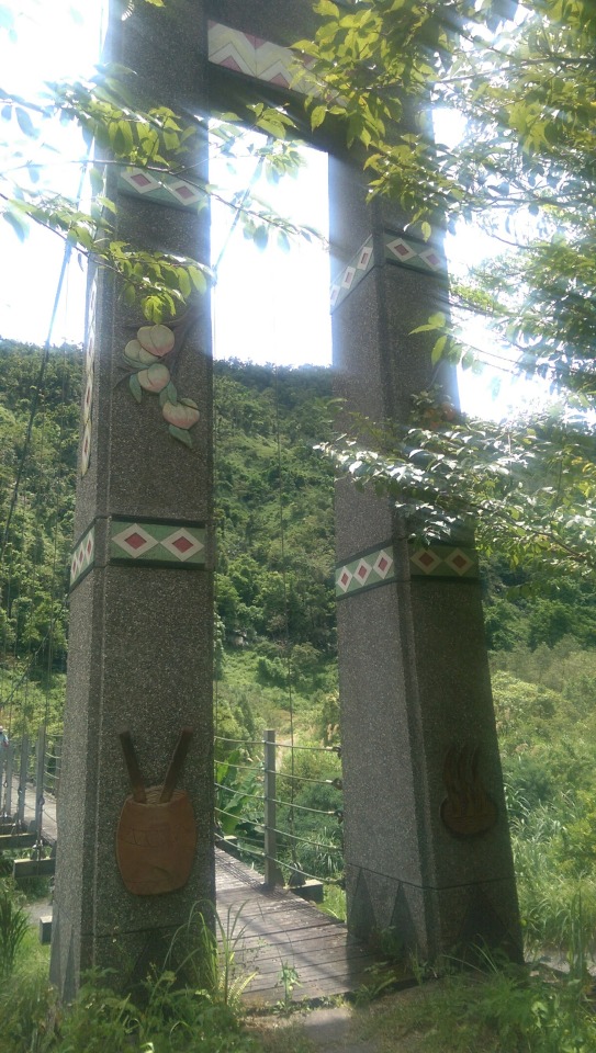
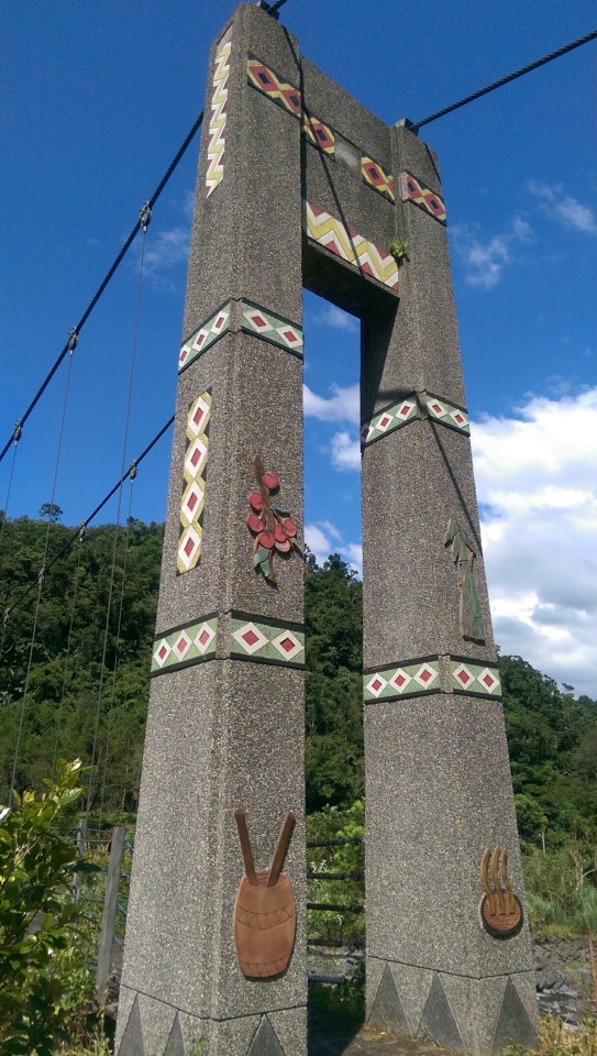
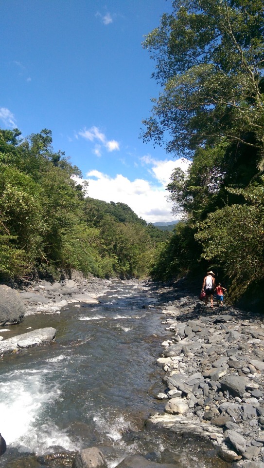
After this, we drove up the valley to the Fan Fan natural hot spring but after arriving and not being sure hoe exactly to get to them, we abandoned that idea and instead went to another known hot spring location nearby where Highway 7 meets with 7甲. To get there, turn off 7甲 up Highway 7 and almost immediately you see this little temple and turning off to the left ...
Turn down that steep rough concete road until to you come to a suspension bridge where you park up and walk from there ...
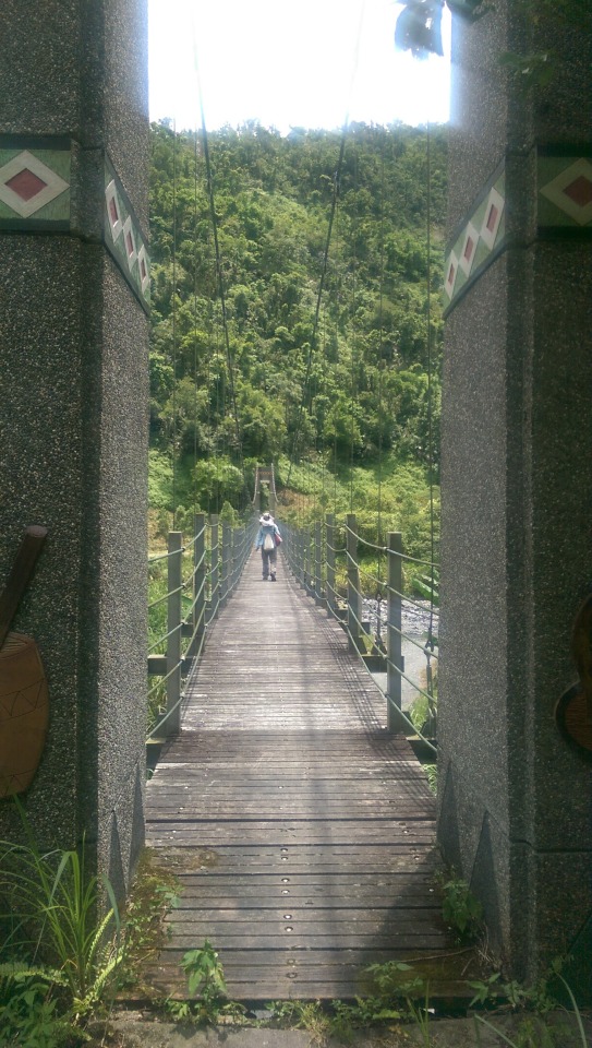
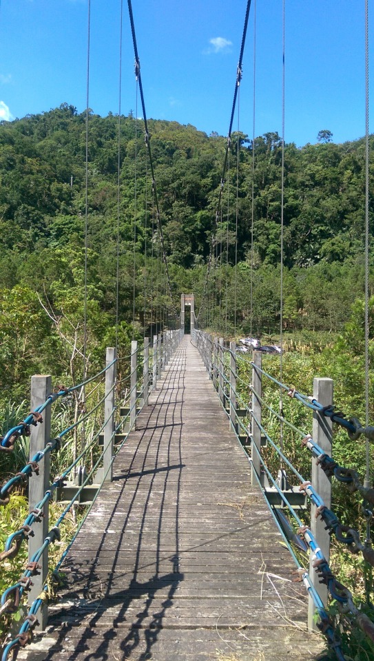
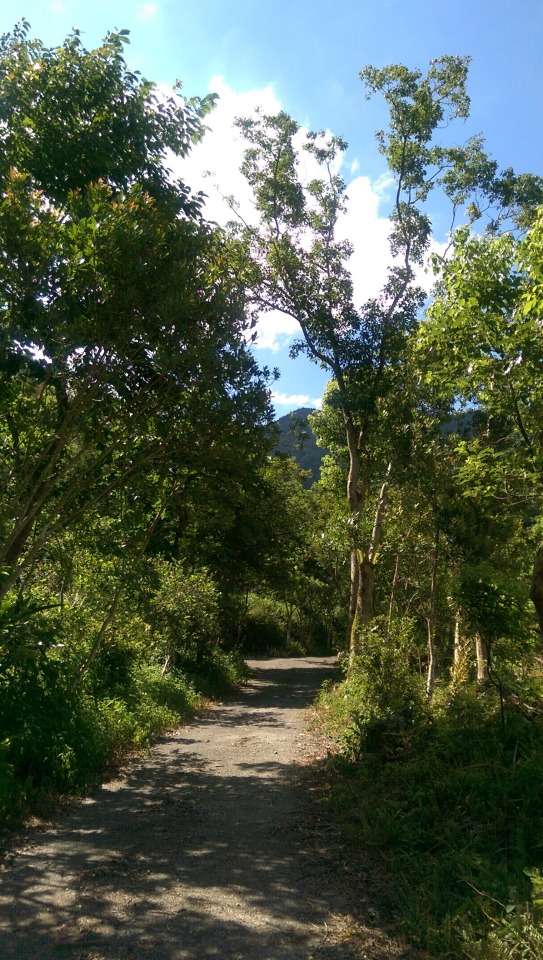
Walk along the path through the orchards ...
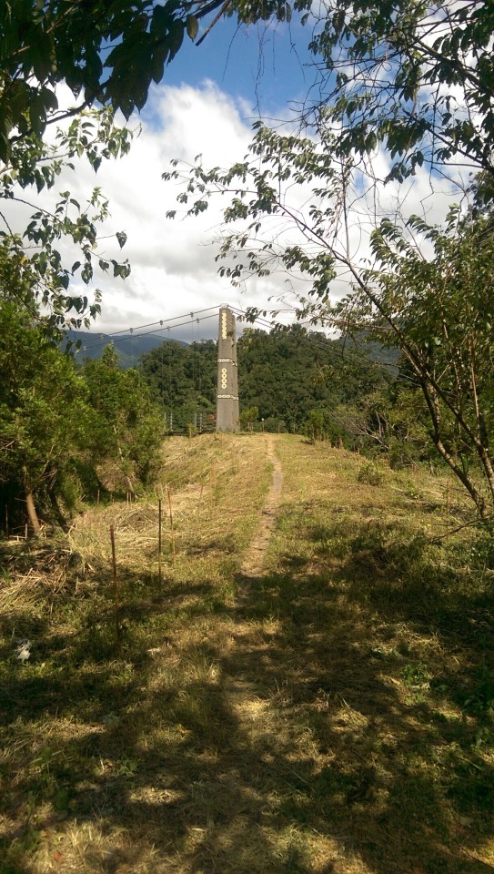


At this point, take the small path to the right ...


... and down to the river bed ...

The hot spring we found out was broken and all that remains is one small scalding murky pool next to a glistening, cool, fast moving, mountain river. Here’s EVA enjoys the hot spring ...
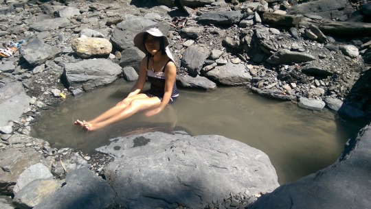
There weren’t too many people there and the river was perfect for cooling down ...


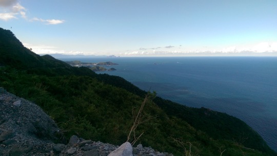
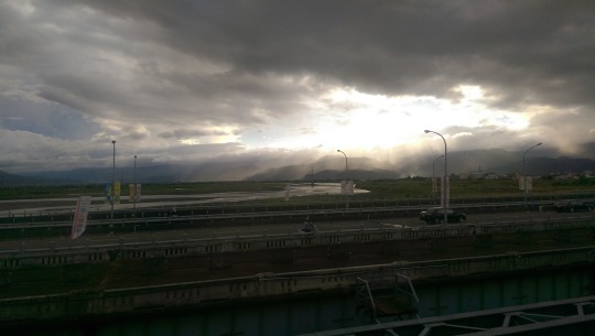
And then, after lunch of fried rice and greens cooked by an Atayal chef and former policeman at a roadside stop erected to sell watermelons, and infested with flies, we drove back to Luoding and were lucky enough to catch the cheap, fast local train that only took 1.5 hrs back to Nanggang. On the train home we were treated to amazing views like this below ...
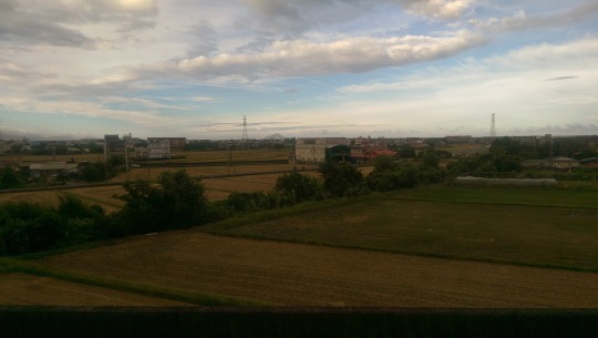
... but sadly also this twenty-something floor monstrosity ...
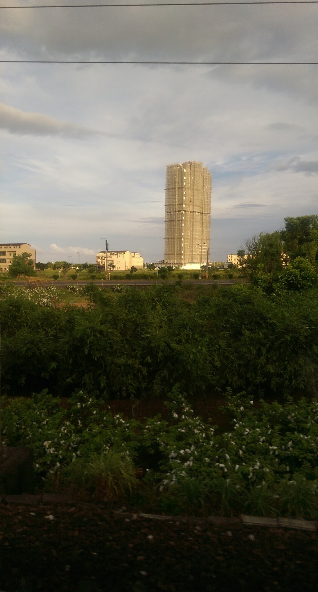
Whoever green lighted that, thereby blighting the Tucheng and the North Yilan coastline, should be made to spend the next twenty years cleaning chewing gum off the streets with a blunt spoon.
All in all a great holiday with plenty of other places left still to visit.
7 notes
·
View notes
Photo

東澳,台灣。 (Dong'ao, Taiwan)[OC] 3880 x 1745
2 notes
·
View notes
Photo

SIMONE DE BEAUVOIR x JEAN-PAUL SARTRE - LIU DONG’AO - 1955
5 notes
·
View notes
Video
youtube
Fun Trip to Southern Yilan (宜蘭南部好玩之旅)
0 notes
Video
Taiwan Yilan Dong'ao Bay, Fenniaolin Galaxy Starry sky 宜蘭東澳粉鳥林 銀河 by Wade Lee
5 notes
·
View notes
Photo

Dong'ao Bay, Fenniaolin,moody cloud,blu sky, Taiwan by arniechou82
0 notes
Last Seen Blogs

arahul123-blog1
Untitled

askthestampedes
LOVE & PEACE X 2 !!

malayalamol
Untitled

deenacious
the lionhearted

thelittlestfreak
Alice's Blog