
Don't wanna be here? Send us removal request.
Statistics
We looked inside some of the posts by jillianbatilaran-blog and here's what we found interesting.
Average Info
Notes Per Post
1
Likes Per Post
1
Reblog Per Post
0
Reply Per Post
0
Number of Posts By Type
Text
1
Last Seen Tumblr Blogs


Fun Fact
Tumblr was the first site to host the blog for President Barack Obama in 2011.
Text
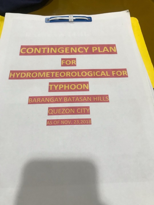
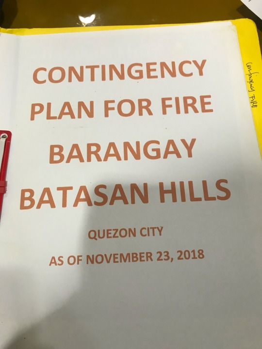
NSTP Module 3
Barangay Batasan Hills Quezon City

I. BDRRM KWENTUHAN
1. Hazard Identification
The hazards that strike the community are typhoons, earthquakes, floods, flash floods, fires. Through television, social media and radio stations, the community and the people are made aware of possible hazards (e.g. warnings from QCDRR and NDRR).
2. Vulnerability, Elements and People at Risk Management
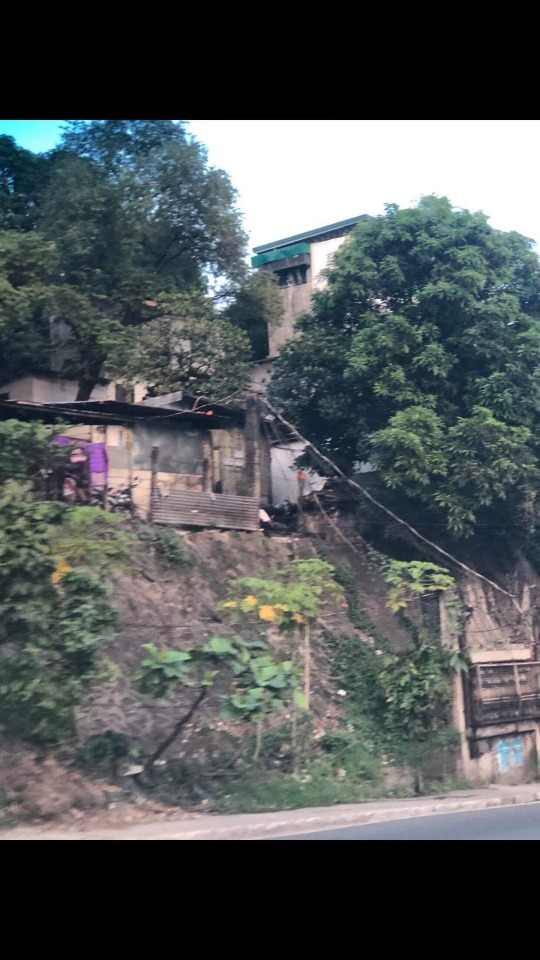
The most dangerous places/areas when it comes to hazards are: Garland, Talanay, Taniman, Northview 1, Northview 2, Freedom Park. These are the places that would be most affected in the case of hazards. The vulnerable people would be the ones living in these areas, the PWDs, the elderly and children because of the locations that are prone to hazards. The safest places would be SB park in case of flood and earthquake evacuation center. Some of the problems that hinder the community from progress and improvement when it comes to disaster preparedness would be places of relocation, crab mentality of people and insufficient funds.
3. Capacity and Disaster Management Assessment
The community educates the people on how to handle wirings to avoid fires, on what to do in case of earthquakes and typhoons and on first aid and basic life support. The community has 114 areas with leaders (little captain or barangay chairman) which holds 300 or 500 households. The resources of the community are the ff: fire trucks, spine boards, ambulance, drones, radiocommunication for leaders and volunteers, stock of food and relief goods, ebikes, motorcycles, and service automobiles for help and emergency. The community has programs and activities such as greening programs, go bag for all, conduction of regular drills, “gulayan sa barangay”, and timely river and creek cleanups.
II. COMMUNITY WALK
Village Sitting on Faultine


Landslide Prone Areas
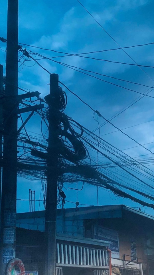
Faulty Electrical Lines
Flood Prone Areas
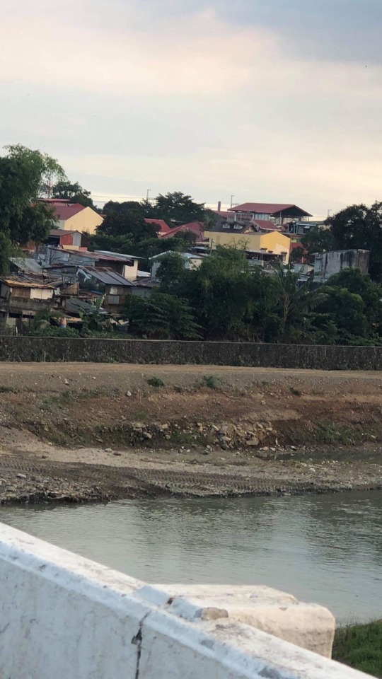
1. Hazardous Places
Hazardous places are low-lying areas, areas near or on the faultline, houses near faulty electrical wirings.
2. Safest Spaces
Safe spaces are open and higher areas and areas that are far from the faultline.
3. Best Practices
Best practices are greening programs: tree-planting activities, tree preservation, “gulayan sa barangay”, garbage collection and segregation, timely river and creek cleanups and regular cleanup drives.
III. REFLECTION, SYNTHESIS AND ANALYSIS
Based on the Hazard Identification, Vulnerability, Elements and People at Risk Assessment, Capacity and Disaster Management Assessment as well as the Safest and Hazardous areas, I believe that the community is doing the best it can in order to prepare the community and lessen the aftermath of disasters. I have observed that there are various places and areas that are prone to hazards as well as areas that have already been struck by disaster and I have also observed that a lot of people are vulnerable and at risk. The efforts of the community are of great help in reducing the number of casualties that a disaster might bring. Despite these efforts, there are still problems that the community is facing which might hinder the success of disaster preparedness and management. Our community, as well as our country, should give importance to disaster mitigation and preparedness for the betterment of our society and the citizens of our country.
“By failing to prepare, you are preparing to fail.” -Benjamin Franklin
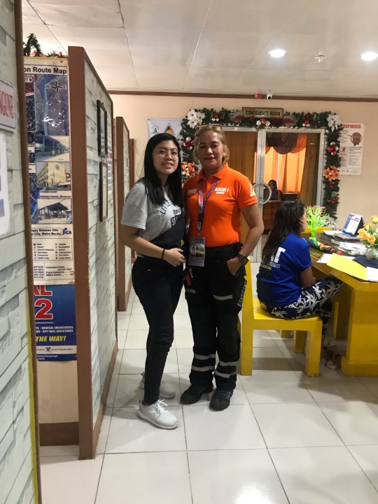
By: Jillian Batilaran, CPHA-11
1 note
·
View note