#GeospatialServices
Explore tagged Tumblr posts
Visit Tumblr Blog
Explore Tumblr blogs with no restrictions, modern design and the best experience.
Last Seen Tumblr Blogs


Fun Fact
The total number of visits Tumblr.com received during January 2021 is 327 million.
Text
Transform Property Management with Accurate Survey and GIS Mapping Solutions
At CyberSWIFT, we offer comprehensive Property Survey and GIS Mapping services that support accurate land administration, infrastructure planning, and real estate development. Our solutions are designed to meet the needs of government bodies, urban development authorities, infrastructure agencies, and private organizations seeking precision and clarity in land-related data.

Get a free consultation: https://www.cyberswift.com/in/industries/urban-gis-solutions
Our Key Offerings Include:
📍High-precision cadastral and topographical surveys
📍GIS-based property boundary mapping and parcel-level data visualization
📍Digitization of land records for easy retrieval and management
📍Integration of spatial data with decision-support systems
📍Identification of encroachments and resolution of property disputes
📍Scalable solutions for urban, semi-urban, and rural areas
By combining advanced survey techniques with geospatial intelligence, CyberSWIFT ensures that land and property information is not only accurate but also actionable. Our team ensures adherence to local regulations and industry standards to support legal compliance and efficient land governance.
#PropertySurvey#GISMapping#LandRecordsManagement#GeospatialServices#DigitalLandRecords#UrbanPlanning#InfrastructureMapping#CyberSWIFT
0 notes
Text
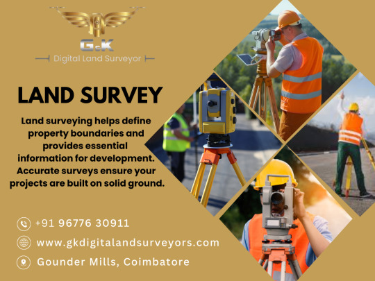
At G&K Digital Land Surveyor, we specialize in delivering precise and innovative land surveying solutions for clients across Coimbatore. With a focus on leveraging cutting-edge technology and expert knowledge, we ensure that every project is completed with the utmost accuracy and efficiency. Our Services Include: Land Development Surveys: Expert guidance for site planning and regulatory approvals. Our dedicated team is committed to excellence and strives to exceed client expectations. Whether you are a homeowner, developer, or contractor, G&K Digital Land Surveyor is here to help you achieve your surveying goals. Contact Us Today for a free consultation and let us assist you in bringing your vision to life!
#LandSurveyor#CoimbatoreSurveying#DigitalSurveying#BoundarySurvey#TopographicSurvey#ConstructionSurvey#LandDevelopment#PrecisionSurveying#CoimbatoreRealEstate#PropertySurvey#G&KDigitalSurvey#SurveyExperts#SurveyingSolutions#GeospatialServices#LandManagement
1 note
·
View note
Text
🛰️ Space Data Is Big Data — Satellite Data Services are skyrocketing from $7.5B to $22.8B by 2034 (11.8% CAGR 🚀)
Satellite Data Services are transforming industries by providing essential insights into everything from weather patterns to agriculture, logistics, and even national security. These services leverage data collected from satellites orbiting Earth to offer real-time information on a wide array of topics. By capturing high-resolution imagery, satellite data enables precise mapping, climate monitoring, and disaster response, among other applications.
To Request Sample Report : https://www.globalinsightservices.com/request-sample/?id=GIS20689 &utm_source=SnehaPatil&utm_medium=Article
For industries like farming, satellite services help monitor crop health, water resources, and land usage, driving sustainable practices and better yield predictions. In logistics, satellite data enhances route planning, tracking, and inventory management, improving supply chain efficiency. Moreover, satellite services are indispensable in the world of telecommunications, enabling seamless global connectivity, especially in remote and underserved areas. As the demand for data increases, satellite technology continues to evolve, with innovations such as geospatial intelligence, predictive analytics, and enhanced remote sensing shaping the future of global service delivery. In an age of rapid technological progress, satellite data services are not only enhancing business operations but also contributing to addressing global challenges like climate change, disaster management, and environmental conservation.
#satellitedata #geospatialservices #remotesensing #weatherforecasting #satelliteimagery #climatemonitoring #agriculturetech #precisionfarming #sustainability #logisticsinnovation #supplychainoptimization #globalconnectivity #disastermanagement #earthobservation #mappingtech #satellitecommunication #telecommunications #bigdata #smartcities #predictiveanalytics #dataanalysis #technologytrends #techinnovation #geospatialintelligence #globalbusiness #satelliteservices #dronesandspace #environmentalmonitoring #climatechange #satelliteapplications #satellitepower #smartagriculture #spaceexploration #digitaltransformation #datasolutions #satellitetechnology #remoteaccess
Research Scope:
· Estimates and forecast the overall market size for the total market, across type, application, and region
· Detailed information and key takeaways on qualitative and quantitative trends, dynamics, business framework, competitive landscape, and company profiling
· Identify factors influencing market growth and challenges, opportunities, drivers, and restraints
· Identify factors that could limit company participation in identified international markets to help properly calibrate market share expectations and growth rates
· Trace and evaluate key development strategies like acquisitions, product launches, mergers, collaborations, business expansions, agreements, partnerships, and R&D activities
About Us:
Global Insight Services (GIS) is a leading multi-industry market research firm headquartered in Delaware, US. We are committed to providing our clients with highest quality data, analysis, and tools to meet all their market research needs. With GIS, you can be assured of the quality of the deliverables, robust & transparent research methodology, and superior service.
Contact Us:
Global Insight Services LLC 16192, Coastal Highway, Lewes DE 19958 E-mail: [email protected] Phone: +1–833–761–1700 Website: https://www.globalinsightservices.com/
0 notes