#RemoteSensingAndGis
Explore tagged Tumblr posts
Text
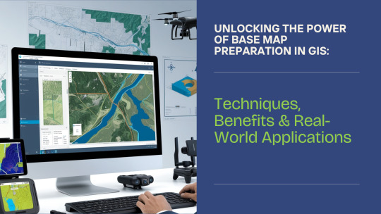
Power of Base Map Preparation in GIS: Techniques, Benefits & Real-World Applications
In today’s data-driven world, maps are no longer just tools for navigation — they are dynamic frameworks for planning, analysis, and decision-making. At the heart of every Geographic Information System (GIS) lies a crucial element: the base map. Whether you’re managing a smart city project, planning urban infrastructure, or implementing property taxation systems, an accurate base map lays the foundation for everything that follows.

Read more at https://cyberswift.medium.com/power-of-base-map-preparation-in-gis-techniques-benefits-real-world-applications-929afdda5771
#BaseMapPreparation#GisBaseMap#DigitalBaseMapCreation#GisMappingServices#AccurateBaseMapDevelopment#ImportanceOfBaseMapInGis#BaseMapPreparationForMunicipalities#StepsInvolvedInBaseMapCreation#GisBasedUrbanPlanningTools#HowToPrepareaBaseMapUsingGis#GisForPropertyTaxMapping#SatelliteImageryForBaseMap#FieldSurveyForGisBaseMap#GisSolutionsForInfrastructurePlanning#RoleOfBaseMapsInSmartCityDevelopment#GeoReferencing#SpatialDataLayers#CadastralMapping#VectorMapDigitization#RemoteSensingAndGis#GisBasedFieldVerification#LandParcelMapping#DgpsSurvey#TopographicData#SmartGovernanceWithGis
0 notes
Text
How to create a Q&A site for Remote Sensing and Photogrammetry in StackExchange: A video tutorial
As you might have already noticed, there aren’t much places on the net which professionally concentrate on remote sensing and photogrammetry and gather related researchers all over the world to exchange knowledge and improve the community. So I’ve decided to build a new Q&A site for remote sensing and photogrammetry which is possible through the Area51 zone of StackExchange. (For further information, you may refer to the following links: FAQ and QA site.pdf
Here's the link for the proposal if you wish to follow it as an expert. The site will definitely need people like you who share their knowledge generously in the future.
In order to convince the StackExchange management team about the necessity of creating such a site and prove them that the related community needs such a site, we need the support of the remote sensing and photogrammetry community.
Up to know I have tried alot for fulfilling the Definition phase (first phase) and have gathered about 159 interested people, Meaning that the first prerequisite of at least 6 followers has been accomplished months ago but unfortunately we haven't accomplished the second prerequisite yet. We have already 27 questions with 10+ score and need 13 more to jump to the next phase. We have fulfilled 83% of Definition and just 17% is remained. The success is near but unfortunately the big event that determines the destiny of the proposal is near, too. Just 34 days left and we need your urgent action
Here's a video tutorial on which I have explained everything. As you see the duration of the video is 16:04 but only the last 4 minutes is directly related to our proposal. So I have shared the link in a way to start playing from the 12:33 minute, in order to not make you boried. But if you really want to help and understand the whole process of creating a new site on StackExchange network, please watch the video from the beginning.
And one more thing, if there's any problem with my accent as a nonnative English speaker or the audio quality, I've shared the transcription
For any further question, feel free to contact me via Email
#remotesensing#remotesensingandphotogrammetry#remote_sensing#remotesensingandimageinterpretation#remotesensingandgis#photogrammetry#photogrammetrie#photogrammetry3dscanning#rsphotogrammetry_se#stackoverflow#stackexchange#area51#geodesy#geology#economicgeology#geographicinformationsystems#geography#geomaticsengineering#Geomatics#hydrography#radar#interferometry#polarimetry#space exploration#geoscience#environmental science#classification#satellite imagery#aerial photography#uav
0 notes