#was a really heavy hike with the snow like that - and also I couldn't get a Uber from the hill back into the town... so I walked another-
Text

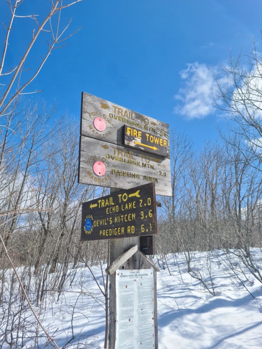
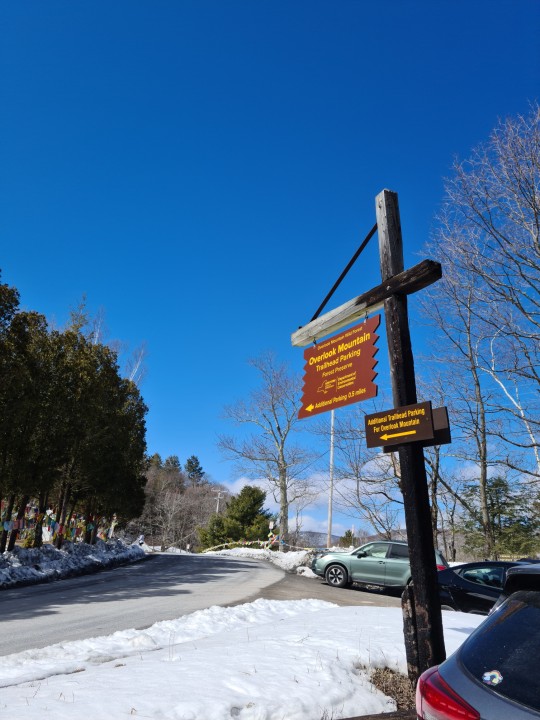

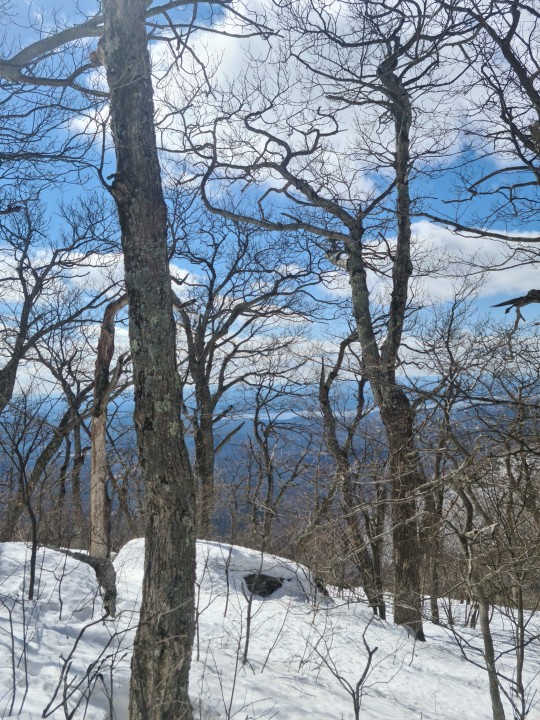


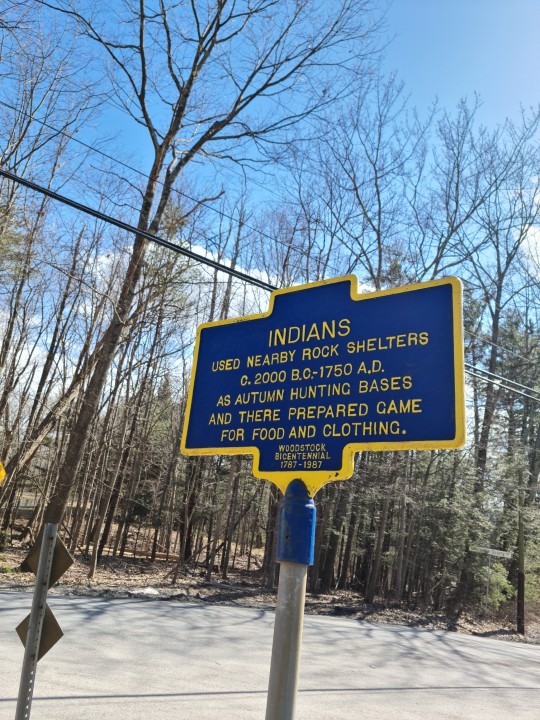
18/3/23 hiked the Overlook Mnt Trail in Catskill Mountains, New York
#Lion hearted courage and an iron will 👑💖 (and a darn good stamina because the snow was so ridiculously thick and thawy)#was a really heavy hike with the snow like that - and also I couldn't get a Uber from the hill back into the town... so I walked another-#4km down the road to the town after my feet exploding already from exhaustion 🥴 And I had to walk past a dangerous road for cars.. but yea#made it out alive!! 😊#Was so worth the view 😍#catskills ny#catskill mountains#America#Catskills#Hudson River Valley
15 notes
·
View notes
Text
A layover day in Myvatn and a north loop
It was a layover day, so Cathie decided to take it easy and sleep in. That allowed me to do a bit more hiking, so it worked for both of us.
The first stop was back at Dettifoss, but on the west side. The access on this side is from a paved road and the walking is easier, so they have developed this side more: viewing platforms, better toilets and parking lot.
The view of Dettifoss is all from above here, so it wasn't as interesting for me.

There is also a trail here up to Selfoss about a km to the north (upstream). You can't get as close to the action at this falls, as it is out in the middle of the river more. But I do really like it. The main falls is in a narrow "V" in the middle of the river. So you really can't get close to that at all. On the west side there are several massive structures each of which acts as a separate falls.

In fact, as you get closer the actual falls are less visible. The best view is from downstream where you can look up into the "V" and see the west side falls. I like the depth that the individual falls down the right side at to the distant main V shaped center falls.
The next stop was further north, almost to the coast in the Asbyrgi canyon. It's a very unusual canyon. It's U shaped in plan with vertical walls up to 300 ft. tall and with a flat bottom a kilometer wide. In the middle there's an arrowhead shaped island pointed upstream with the same high walls.
This photo shows the shape well, but it's not mine. I couldn't find a road to the top and it's in a National Park, so no drones.

Apparently it was formed in two large floods, 10,000 and 3,000 years ago. These would have been the floods from when a glacial dam breaks releasing huge amounts of water suddenly. Those types of floods can scoop up huge amounts of rock and carry it away. As the water picks up more rock the weight of the solution increases until the flood water is almost as heavy as rock, meaning rocks can almost float.
Later on the river that caused all this took a new path a ways to the east, so here's this unusual canyon with no river.
It was farmed for a long time, but after it became park land they planted trees, so now it is forested.
There is a pretty little lake at the north end and I walked to that.


I also hiked the top of the island in the center and was a little more comfortable with the cliff edge this time.

After this I drove up to the north shore and over to the fjord to the west before circling back to Myvatn.
Tomorrow we head west, and the mountains on the other side of the fjord were snow covered and looked cold.

0 notes
Last Seen Blogs

antisocial-android
миша

super-gilf
Untitled

youhasmyheart
Never Lose Hope👑🎀

bts-puta
suga-tae-and-kookies

buffalony-official
Blog Of The City Of Buffalo, NY