
"The fine, widely extended machine we call a city," it observed, "...like other machines, is easily arrested."
Don't wanna be here? Send us removal request.
Statistics
We looked inside some of the posts by topographs and here's what we found interesting.
Average Info
Notes Per Post
4
Likes Per Post
4
Reblog Per Post
0
Reply Per Post
0
Time Between Posts
5 months
Number of Posts By Type
Text
12
Photo
5
Last Seen Tumblr Blogs


Fun Fact
Tumblr Inc. has $15.1M in annual revenue.


Text
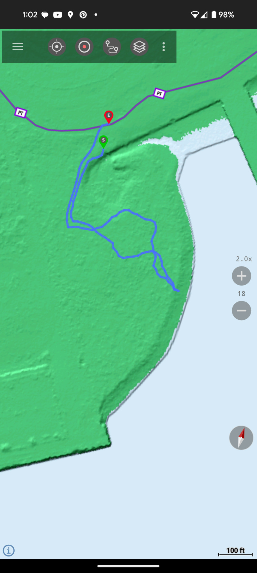
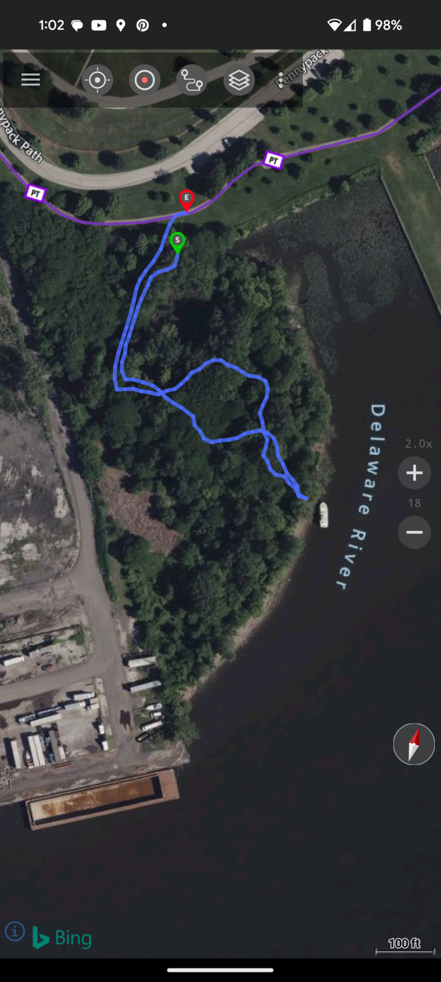
Burnt Mill Road, Maple Island, Turtle Pond on the Cooper Branch, Wharton State Forest


0 notes


Text


Excursions at #fortmiles. Most of these areas around the revetments were clear-cut in 1941 and to camouflage the railway batteries the Army issued careful planting and netting plans. Now they are surrounded by a thick coastal forest. #bunkersnberms #plottingroom #industrialarcheology #militaryarcheology #ticks
0 notes
Text


ChesterCreekBranch
Rural Delco upland towns & mill communities linked by a single 7.5 mile filament. Broad Street Station - West Chester, Perryville, Md. on the same strand of modernity wending its way through the sinuous Chester Creek Valley. Brief slabs of shale form deep cuts, gouged out with muscle, steel & dynamite. Now we have a transportationless corridor: a beautifully overengineered slow gradient down and an return. But a museum of 19th century utility. Perhaps one day the trail will link up with the east coast greenway and in the post-fossil eons beyond again become a highway of sorts. #odology #railroadlandscapes #delco #railstotrails
0 notes
Text
1 note
·
View note
Text


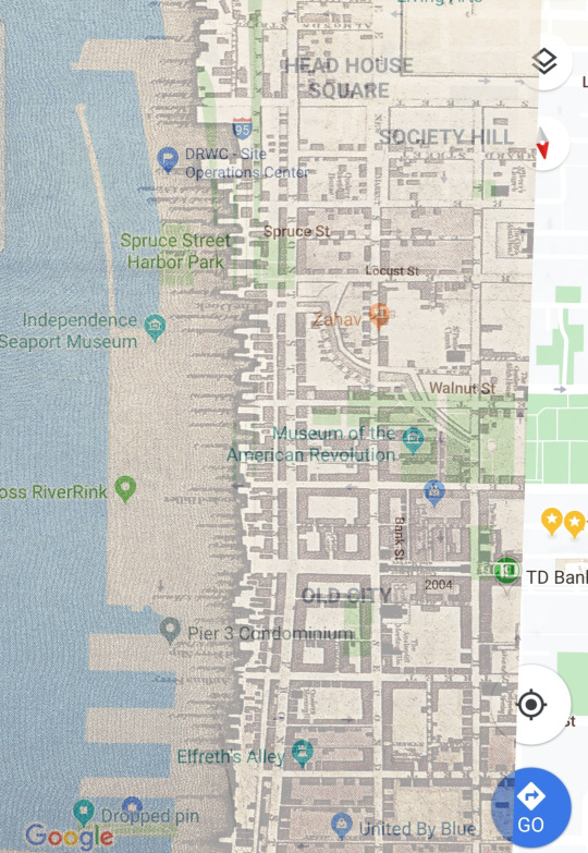
#wooderfront#identity#erosion#beauty of decay#accretion#southwark#toponymy#weccaco#shorelines#fill#delaware#lenape#snakescreek
1 note
·
View note


Text

Progress on Delaware & Chesapeake coastal survey (trig points) for 1843. http://cartweb.geography.ua.edu/lizardtech/iserv/calcrgn?cat=Special%20Topics&item=Navigation%20Charts/NavDelawareChesapeakeVicinity_DE.sid&wid=500&hei=400&props=item(Name,Description),cat(Name,Description)&style=default/view.xsl&plugin=true
0 notes
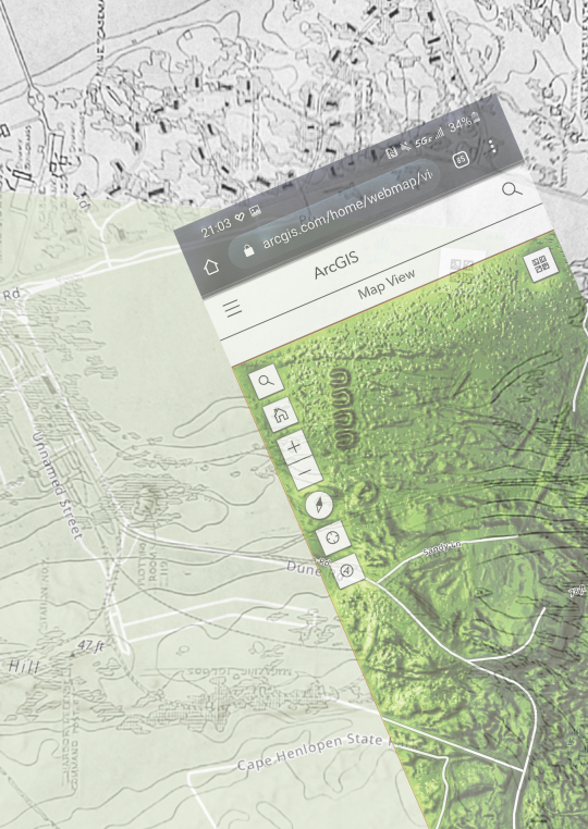
Text


Doing some deep historical background for some #deepecological planning. Hill's 1787/8 map of The District of Southwark, Twps. Of Passyunk & Moyamensing shows a massive cove of tidal marshlands sweeping below the built up portions of Southwark along the Moyamensing ridge and into a broad drainage of the Little Hollander Creek and Hay Creek complex down to Greenwich Point, significant enough to be noted as the #WicacoeMeadows #historicalcartography #ecology #riparianbuffers #marshaccretion #bioengineering #wicaccomeadows #turtles
0 notes
Photo

More lidar topo layering as we #searchfortheancestralschuylkill #ghostdeltas #history #tidal #physiography #fluvialmorphology #geology #hydrology #schuylkillriver #hiddensilty
0 notes
Photo

Trolley Trail Notes. Still very possible to get turned around even in the wilds of upper West Park. Re studying the lay-of-the-land in the Trolley Trail's glades between Belmont and Chamounix Hills (Mt. Prospect)
0 notes
Photo

Ancestral courses of the #schuylkillriver #fluvialgeomorphology
0 notes
Photo

Possible ancestral watercourses Southwark Philadelphia w/ lidar underlayer #hydrology
0 notes
Photo


#delawarerivertrail #lowtide #0300 #piers #maritime #erosion #marineinfrastructure #habitat #newrecreation #urbanplanning #drwc #turbiditycurtain #shorelinerestoration #bankrestoration #cathabitat #urbanexploration #ripariannotes
0 notes