#Muncho Lake Lookout
Text


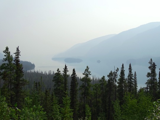

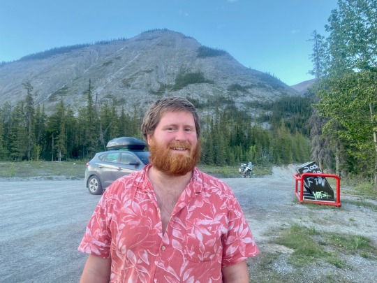
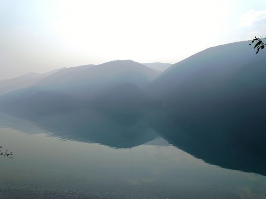
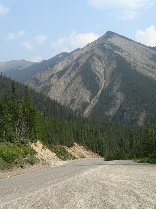
Muncho Lake, BC (No. 1)
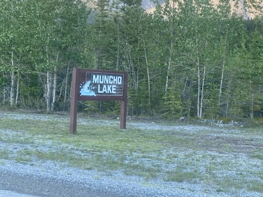
Muncho Lake is a highway services community in northern British Columbia, Canada, located at Mile 462 on Highway 97, the Alaska Highway, within Muncho Lake Provincial Park and on the south end of the lake of the same name. The community consists almost entirely of travel and tourism-related businesses such as lodging, game outfitting, restaurants, gas stations and fishing outfitting.
Source: Wikipedia
#Muncho Lake#Muncho Lake Lookout#Sentinel Range#BC#travel#original photography#vacation#tourist attraction#landmark#landscape#countryside#British Columbia#woods#forest#nature#flora#tree#wildfire smoke#summer 2023#Canada#boreal forest#Canadian Rockies#Rocky Mountains#Northern Rockies#Alaska Highway#rocks
26 notes
·
View notes
Text
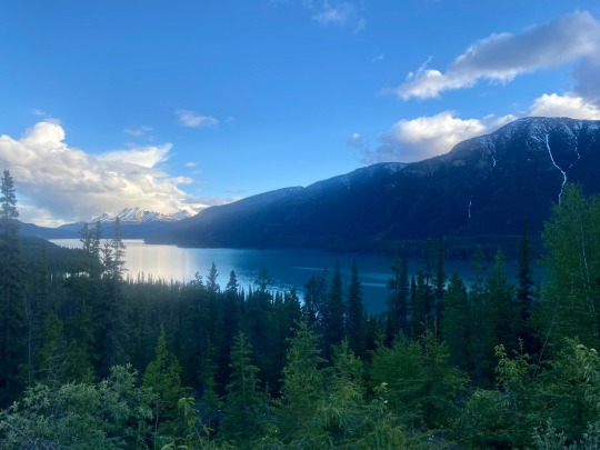
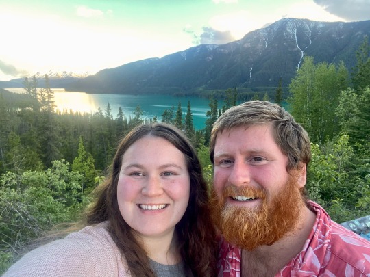
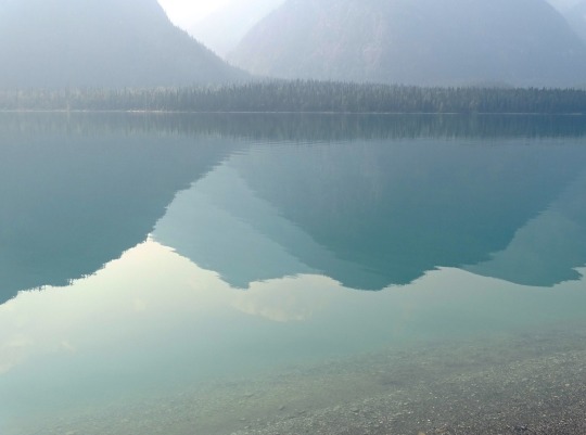
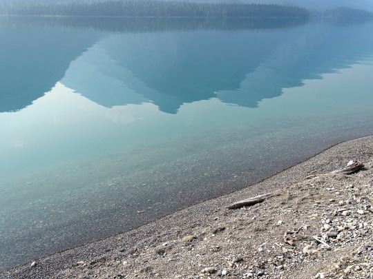
We then made our way to the Muncho lake lookout and it was absolutely gorgeous. Amazing turquoise water surrounded by mountains. So pretty 😍
June 12, 2022

3 notes
·
View notes
Text


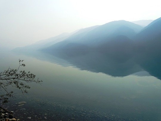


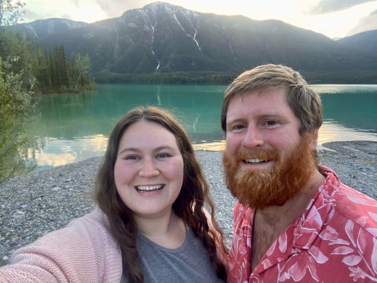
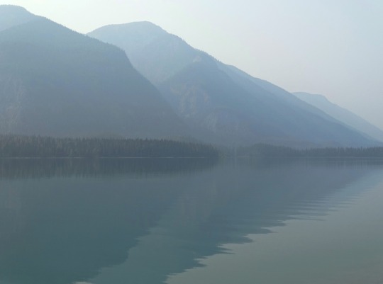
Muncho Lake, BC (No. 2)
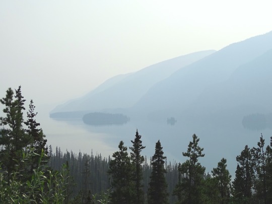
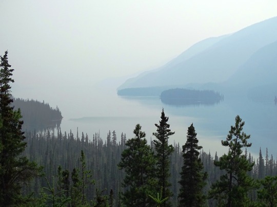
The lake is part of the Muncho Lake Provincial Park and located at kilometre 681 (mile 423) of the Alaska Highway. The lake is about 12 km (7.5 mi) long and its width varies. It reaches a maximum depth of 110 m (360 ft). The surrounding peaks (the Terminal Range of the Muskwa Ranges to the west and the Sentinel Range to the east) reach altitudes of more than 2,000 m (6,600 ft), while the lake lies at an elevation of 820 m (2,690 ft). It is formed along the Trout River, a tributary of the Liard River.
The jade-green color of the lake is attributed to the presence of copper oxide leached from the bedrock underneath. Its name is derived from the Kaska language in which "muncho" translates as "big water".
The small community of Muncho Lake is established on the lake's southern shore, at the confluence of Trout River and Muncho Creek. The Muncho Lake/Mile 462 Water Aerodrome is set up along the eastern shore of the lake, at Mile 462 of the Alaska Highway.
Source: Wikipedia
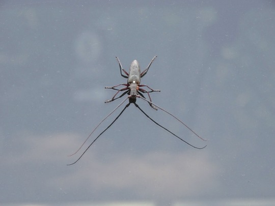
#White-spotted sawyer#Muncho Lake#Muncho Lake Lookout#Sentinel Range#BC#travel#original photography#vacation#tourist attraction#landmark#landscape#countryside#British Columbia#woods#forest#nature#flora#tree#wildfire smoke#summer 2023#Canada#boreal forest#Canadian Rockies#Rocky Mountains#Northern Rockies#Alaska Highway#rocks#insect#reflection#Muncho Lake Provincial Park
28 notes
·
View notes
Text


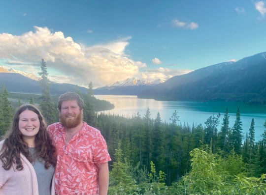
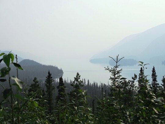
Muncho Lake, BC (No. 3)
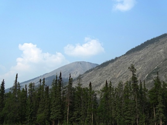
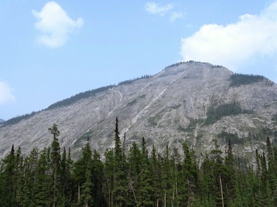
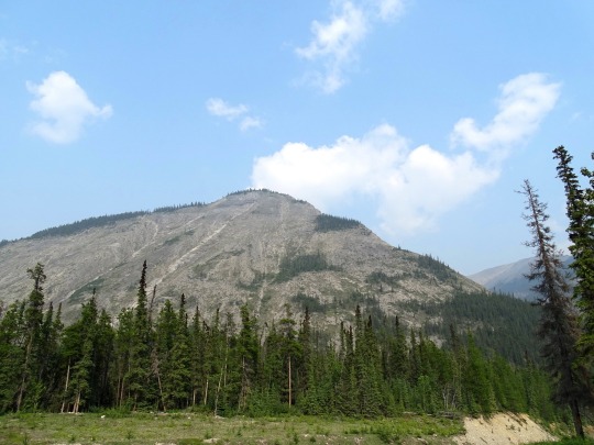
Muncho Lake Provincial Park is a provincial park in British Columbia, Canada, located on the Alaska Highway as it transits the northernmost Canadian Rockies west of Fort Nelson. The park is part of the larger Muskwa-Kechika Management Area.[2] It is named after Muncho Lake, which is in the park and is both the name of the lake and of the community located there.
Folded mountains, geological formations, are visible above the road in the southern part of the park.
Source: Wikipedia
#White-spotted sawyer#Muncho Lake#Muncho Lake Lookout#Sentinel Range#BC#travel#original photography#vacation#tourist attraction#landmark#landscape#countryside#British Columbia#woods#forest#nature#flora#tree#wildfire smoke#summer 2023#Canada#boreal forest#Canadian Rockies#Rocky Mountains#Northern Rockies#Alaska Highway#rocks#insect#reflection#Muncho Lake Provincial Park
22 notes
·
View notes
Text


Clouds (No. 1163)
Muncho Lake Lookout, BC (four pics)
Stone’s Sheep Trail, BC (five pics)
Toad River, BC
#original photography#vacation#tourist attraction#landmark#clouds#nature#Canada#summer 2023#fir#landscape#countryside#forest#woods#flora#Alaska Highway#bush#blue sky#British Columbia#mountains#Northern Rockies#Rocky Mountains#Muncho Lake Provincial Park#travel#Muncho Lake Lookout#street scene#Stone’s Sheep Trail#Toad River
2 notes
·
View notes
Text


Clouds (No. 1162)
Boulder Canyon, BC (eight pics)
Muncho Lake Lookout, BC (two pics)
#original photography#vacation#tourist attraction#landmark#clouds#nature#Canada#summer 2023#fir#landscape#countryside#forest#woods#flora#Alaska Highway#bush#blue sky#British Columbia#mountains#Boulder Canyon#Northern Rockies#Rocky Mountains#Muncho Lake Provincial Park#travel#Muncho Lake Lookout
0 notes
Last Seen Blogs

neanmoon
Nean
wirewindow
Wire Window

rewrite-starsss
Jayde

ioniczach
IonicZach's Residence
ryanchrys
The Lyfe & Tymes of Ryan Chrys