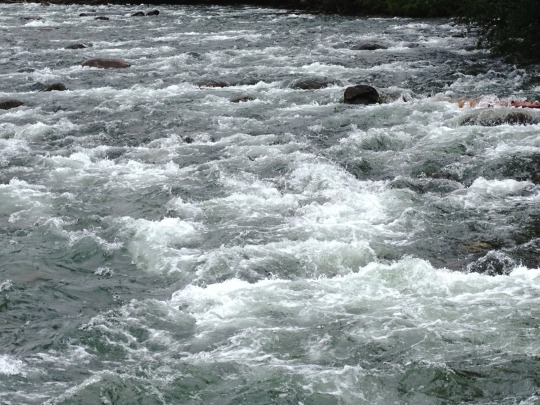
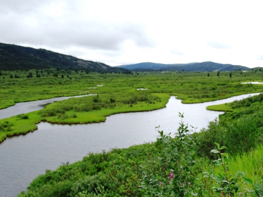
#Stikine Highway
Text
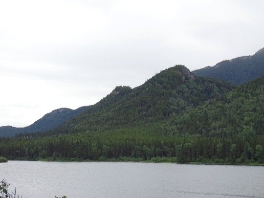


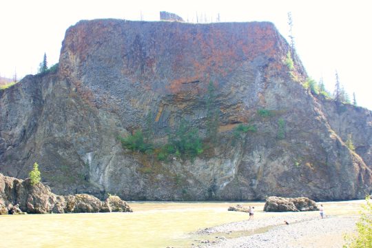
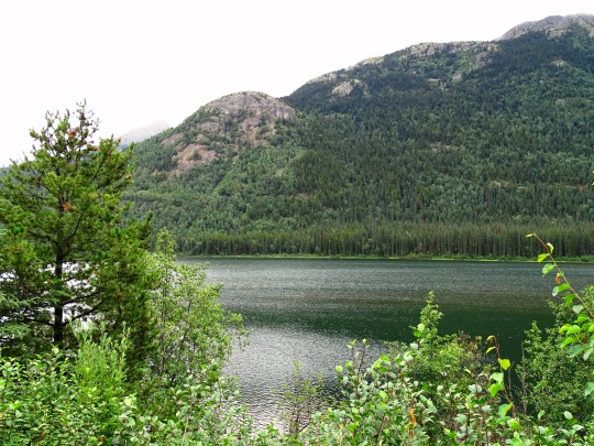
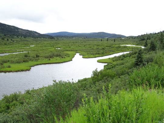
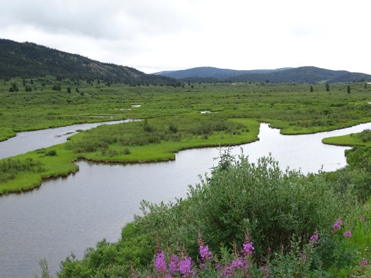
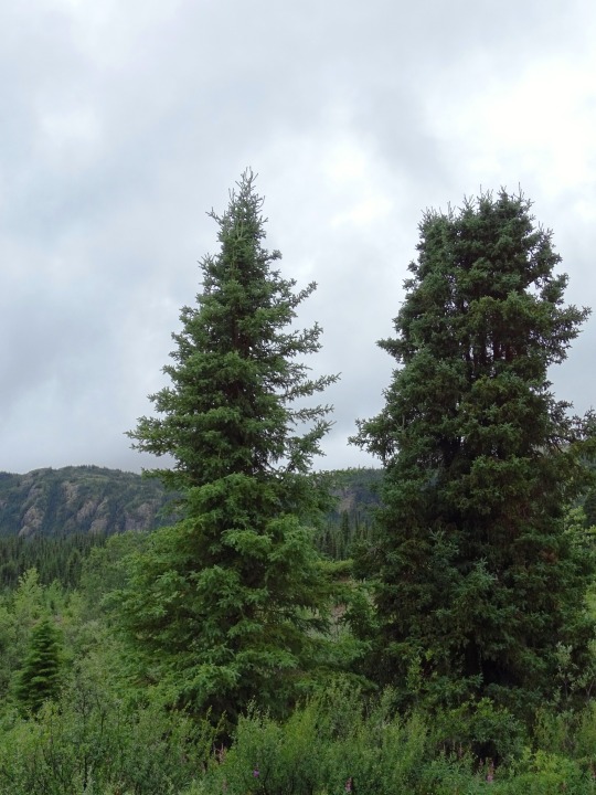
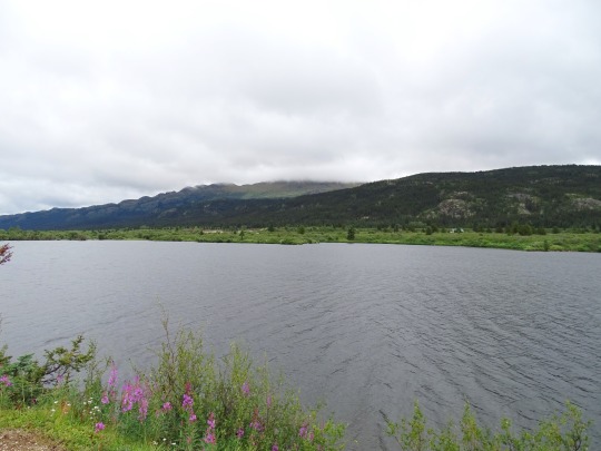
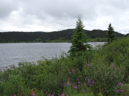
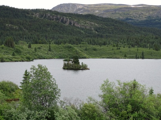
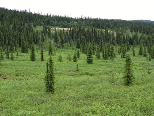
Pinetree Lake, BC (No. 2)
The region, which includes the Interior Plateau as well as various mountain ranges and the valleys between them, comprises everything inland from the Coast Mountains and reaching east to the Rocky Mountains and, in the northeast, British Columbia's sector of the Prairies, the Peace River Block. "Interior" is usually and properly capitalized but turns up in lower-case in various books and magazines. The non-coastal areas of the province are considered to be "in the Interior", although the sparsely populated regions of its northern half are usually referred to only as "the North".
The town of Hope, at the eastern end of the Fraser Valley and at the foot of the Fraser Canyon, is often considered the "Gateway to the Interior" and bears an entrance arch to that effect, though in practical terms the Interior does not begin until somewhere between Yale and Boston Bar, in the Fraser Canyon, or until the summits of the Coquihalla and Allison Passes. The boundary between "the Coast" and "the Interior" along the Highway 99 corridor is nominally between Whistler and Pemberton, as Pemberton is often described as being in the Interior, but from the inland perspective it is often seen as part of the Coast because of its wetter climate and close ties to the Lower Mainland.
There are many subregions within the Interior, some regions in their own right, and although there are no precise definitions, it is often broken up informally as the Northern Interior, the Central Interior, the Southern Interior, the Northeast Interior and Southeast Interior, and these names often appear in non-governmental organizations and company names as well as in government administrative districts and ministerial regions, and in weather reports.
Source: Wikipedia
#Pinetree Lake#original photography#travel#vacation#tourist attraction#landmark#landscape#countryside#nature#Canada#summer 2023#fir#the North#cityscape#forest#woods#flora#British Columbia#wildflower#Stikine Highway#clouds#British Columbia Highway 37#Skeena Region#lake shore#Skeena Country#British Columbia Interior
21 notes
·
View notes
Text
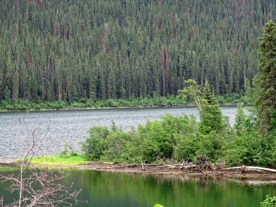
Fall Time 2022 in the Tahltan Highlands
Fall Time 2022 in the Tahltan Highlands
Fall Time 2022 in the Tahltan Highlands was Spectacular
Fall time in the Tahltan Highlands, as it is listed in official documents, is spectacular. This is accessible via Highway 51, historically known as the Telegraph Creek Road. Connecting tlēgohīn (Telegraph Creek, BC), the head of navigation on the Stikine River to tātl’ā (Dease Lake), a community at the south end of Dease Lake, itself. This…
View On WordPress
0 notes
Video
flickr
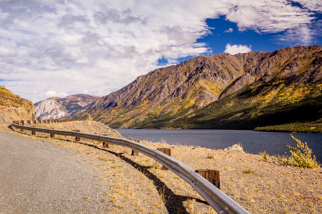
The Rail’s Gentle Curve by 75Central Photography
Via Flickr:
A safety rail curves along the edge of the Klondike Highway, overlooking the Yukon Territory’s Tutshi Lake.
#Canada#Landscapes#Mountains#Roads#Stikine#Tutshi#Lake#Yukon#Carcross#Yukon Territory#Landscape#Travel#Tutshi Lake#Scenic#Klondike Highway#fav25#fav50#fav75#fav100#fav125#fav150#Vacation#Holiday#Color#Colour
1 note
·
View note
Text
Muncho Lake to Whitehorse
June 21st (stayed first night Watson Lake)
First day of summer! Another great day in this GREAT country. It is a good thing our kilometres are few because the photo spots are too numerous.
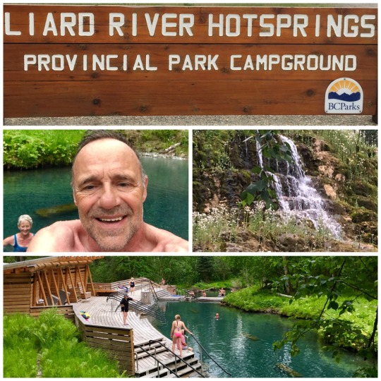
Our first stop today was Liard River Hot Springs Provincial Park where we took a soak in the pools. This Park must be very busy in summer months but today was ideal with few people.
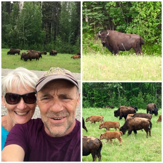
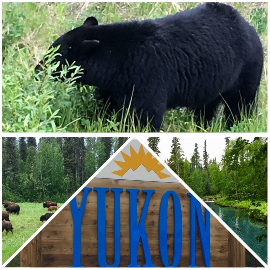
The next spot on the itinerary was Watson Lake. There were so many bison and bears to admire that the drive took a little longer. The number of bison definitely outnumbered the bears today.
Watson Lake with a population of 1500 is the trade centre for southeastern Yukon. It is also the junction for two main routes; Cassiar Highway to interior British Columbia and Campbell Highway which runs northwest to meet the Klondike Loopat Carmacks.
The most famous sight in town is the Signpost Forest with over 75,000 signs. It was started by a G.I. during the construction of the Highway. Some people bring their signs from home but we opted to create one for Lucy and nailed it to a post.
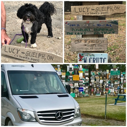
Tomorrow we continue our explore of the Yukon.
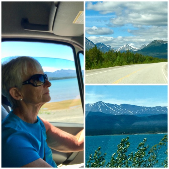
June 22nd (destination Whitehorse)
Our day began with a 4:30 sunrise and the buzzing of mosquitos. The 11:30 pm sunset is not bad but starting the day so early still takes getting used to. Hopefully it will get easier as Dawson City is but days away and they have 20 hours of daylight.
We decided to push for Whitehorse today (420 km) freshen up with supplies and continue to Dawson City. We plan to return to Whitehorse next week when Alicia and Chris join us for Canada Day.
The drive was picturesque with beautiful mountains. The Yukon terrain does remind us of Newfoundland in some ways minus the mountains but not the Moose warnings! Our only wildlife sightings today were 2 black bears and finally a brown bear. Maybe tomorrow my photo finger will catch a snapshot.
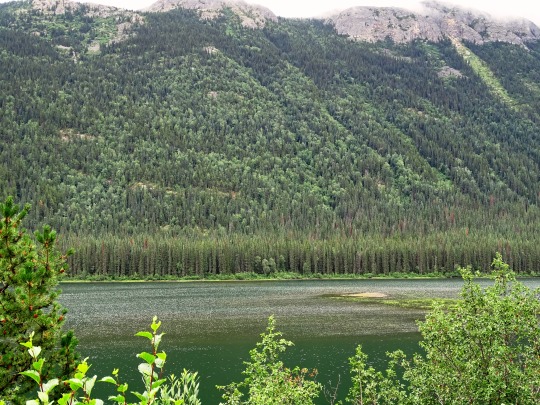
One of our stops today included Teslin. It is a village on the shores of Nisutlin Bay on Teslin Lake. During the Klondike Gold Rush of 1898 seekers travelled up the Stikine River from Alaska, then trekked 150 miles overland to the headwaters of Teslin Lake. There they constructed boats to sail the lake and down rivers to Dawson City and gold fields. Teslin became such a popular stopover that Hudson Bay established a trading post. That is long gone and tourism now plays a big role. The Nisutlin Bay Bridge is the longest water span on the Alaska Highway at 584 metres.

Tomorrow we motor onto Dawson City.
0 notes
Text
Alaska’s Tongass National Forest: Bear and Hiking Viewing
LeConte Glacier, Wrangell Alaska, by the air.
Jessica Pickett photos.
Wrangell: Conquering the Coastal Rainforest of Southeast Alaska
From Jessica Pickett
Alaska. The name itself conjures up visions of dogsleds cutting round windswept valleys, vibrant colors dancing throughout the night skies, and rocky snowcapped peaks towering within iceberg-studded rivers. John Muir, the father of our national park system, after mused, “To the lover of wilderness, Alaska is one of the most wonderful countries in the world”
A bear shakes his head after coming up empty while walking.
I just so happen to be a fan of wilderness.
And Wrangell tucked deep to the heart of the Tongass National Forest, given the perfect foundation to immerse me in the wilds.
Entering Bear Country
Viewing for bears at the AnAn Photo Blind
We stood frozen in place, quickly remembering that the “bear etiquette” principles educated to us Denny Strom, retired Yukon Fish and Wildlife Director and also our Alaska Vistas Guide.
The rocky waters of AnAn Creek drowned out the sound of both black bear cubs feasting in their still-flopping salmon.
The keen eyes of the mother loathed us throughout the stair’s handrail slats. Following the briefest of seconds, she turned and stalked out to the woods, urging her son to follow along.
Mere hours past, we pulled off from Wrangell’s docks on one of Alaska Vistas’ 30-foot, covered jet boats, heading to the mouth AnAn Creek. The hour boat journey brought us throughout the mist-ladened Eastern Passage and Blake Channel (Back Channel to the natives) before arriving at the trailhead.
Seals unwind in LeConte Bay, near Wrangell, Alaska.
Lichen-covered firs and spruce trees loom across the half-mile boardwalk leading to this AnAn Wildlife Observatory. We stick close together on the trail, sometimes crying out, “Hey, Bear!”
Eventually the roar of the falls indicates our arrival in the observatory. The stage stands on the precipice of the falls, looking out over the sloped mountainsides and then boulders lining the creek.
A Bald Eagle perched above AnAn creek.
“It is the only area in Alaska where the eagles fly beneath you,” opinions Denny with a chuckle. From the top observation deck, stairs lead down to the covered photo blind situated inches above the water.
The normally bright creek turns black as a large number of salmon embark on Southeast Alaska’s biggest run.
Swimming furiously, the salmon jump the cascades, dodging the substantial paws and snapping teeth of gorging conveys in hopes of spawning upstream.
For hours we stood in amazement as both black and brown bears silently emerged from the trees to feast. Bald eagles and harbor seals await patiently to get injured fish and casualties that scrub down the falls. Never have I witnessed such a raw, untamed spectacle.
Hiking the Trails
Everywhere we turned, the wealthiest shades of green saturated the woods. Following in the footsteps of John Muir, we stepped away from Third Street onto the Mt. Dewey trail rising above Wrangell.
A bear chomps down to a salmon plucked from AnAn Creek.
For a bit less than half a mile, then we followed the undulating boardwalk trail. The sounds of city faded away, replaced solely by the pattering looks of our feet across the trail. We increased 300 ft in altitude over the course of this quarter-mile path to find ourselves silently looking out within the everyday comings and goings of Wrangell and the Zimovia Strait.
John Yeager, proprietor of Alaska Charters and Adventures, holding Pike Pickett’s 40-pound halibut.
Then we headed south of city Searching for the Rainbow Falls Trail Head. This eighth-of-a-mile-long trail was shown to be more strenuous then Mt. Dewey. We followed the gravel and boardwalk path around early hemlocks and together burbling streams as we climbed up 500 ft.
A shaded system opened onto a scenic view of Rainbow Falls and the valley below. Each breath brought the sharp fragrance of evergreens, clear mountain water, and the earthy scents of a decaying rainforest. We stumbled, drinking at the magnificent view for a lot of the afternoon.
Gigantic Glaciers
Of all of the lively arenas in Alaska, couple remind you of exactly how little you really are like coming facial using glaciers. My very first experience came in the back of a second Alaska Vistas jet boat.
Terry Buness, a lifelong resident of Wrangell, renown marine mechanic, and jet boat attendants, masterfully maneuvered us around icebergs scattering Shakes Lake. Pristine blue ice spires towered over the ship as we drifted nearer to the glacier’s face.
Fisheries Biologist and Alaska Vistas proprietor, Sylvia Ettefagh, slowed as the spray of surfacing orcas caught her eye. As we drifted, harbor seals safely lounged atop icebergs crowding LeConte Bay. Carefully she picked her way throughout the iceberg congested bay to bring us to the huge surface of LeConte Glacier.
An Orca at LeConte Bay.
LeConte stays the longest-studied glacier due to its frequent “calving”. As we saw a part of glacier collapse, ” Sylvia clarified the fjord’s 800-foot thickness proved to be a significant contributor to the glaciers continuous calving.
But in order to actually grasp the Stikine Ice Field’s size, we had a bird’s eye view. Michael Lane using Sunrise Aviation banked our Beechcraft Bonanza plane left to point out a black foam plus a huge iceberg. “Seems like we just missed a big calving!” , crackled his voice throughout the headsets. For an hour we marveled at the vast expanse of snow and ice winding through the peaks, even ingesting the glaciers.
Sylvia Ettafagh, Fisheries Biologist and woner of Alaska Vistas, coming icebergs at LeConte Bay.
Fishing the Rich Alaskan Waters
With one in every ten jobs based on fish at Southeast Alaska, fishing is much more than a way of life. Most everybody in Wrangell fishes both commercially and personally, when they provide a bit of advice on fishing their waters, you listen. Even better, you let them direct you.
The mist hugged the tops of their trees and the warm water was smooth and flat the morning that we left the docks with John Yeager, owner and guide of Alaska Charter and Adventures.
After baiting the traces together with chunked salmon and fish stomach, we pitched them out. We sipped our coffee whilst bobbing the lure about the sandy river bottom, hoping to attract the interest of halibut.
“My preferred to fish is King Salmon, however I love Halibut as well, especially in hot water. They fight differently. Instead of fishing at 200 ft, where they can simply dive and pull, and they are forced to swim outside, battle harder. They can do some pretty cool stuff,” explained John because we watched the conclusion of our rods.
The telltale bump-and-tug brought up the conversation short. The rod bent and the line complaining as the fish conducted together with the lure. Fish.
A short but physical tug-o-war pursued before I landed the 40-pound halibut. My arms shook in the attempt when I high-fived John. Before the afternoon was over the last count tallied five halibut, together with the biggest weighing in at around 90 pounds. Halibut may now be my favorite game fish.
Sealions fighting over territory.
Tlingit Culture
From Frogs Totem adorning the town’s newspaper masthead to the wrought iron jewelry, carvings, and paintings discovered in most of the stores, the beauty of Tlingit tradition permeates every aspect of Wrangell. Wandering the streets, masterfully carved totems punctuate the landscape at each turn.
One of the Numerous totems found throughout Wrangell.
While most of the totems and house sticks are replicas carved at the accustomed Tlingit traditions, the originals may be viewed in the Cultural House and Carving Facility.
They tell stories of historical floods and massive hunts. Of prominent chiefs and mysterious heroes.
So as to hear more of the stories, we seen Chief Shakes Tribal House, informed by Tlingits themselves.
Ducking throughout the tiny oval door fashioned as a stand, we entered the dimly lit chamber.
An intricately carved cedar panel — painted yellow, blue, and black — towered over the sunken hearth, hand-carved orcas, and the point where the storytellers wove stories of the Tlingit ancestors.
With drums and rattles made from deer hooves, the narrators brought their lore to life.
Obtaining Here
The residents of Wrangell will be the first to admit how blessed they are to own daily jet services. Twice a day, Alaska Airlines leaves Seattle heading north to Ketchikan, subsequently Wrangell, then on to Petersburg and Juneau.
Charter services, such as Sunrise Aviation situated in the Wrangell Airport, also provide flight services in addition to holiday flights.The Alaska Marine Highway System offers yet another alternative for travel to and from Wrangell and outside.
More articles like Alaska’s Tongass National Forest: Hiking and Bear Seeing:
The next two tabs change content under.
GoNomad
If you prefer the articles we publish, maybe you may be one of those writers too! Make travel programs, then write a narrative for us! Click here to see our author’s guidelines.
Newest articles by GoNomad (see all)
Russia’s Home to the Golden Domes
Sydney: The Very Best of Australia
Hanoi: A Late Night Arrival to Chaos
from network 4 http://www.tnbearhunters.com/alaskas-tongass-national-forest-bear-and-hiking-viewing/
0 notes
Text
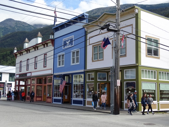
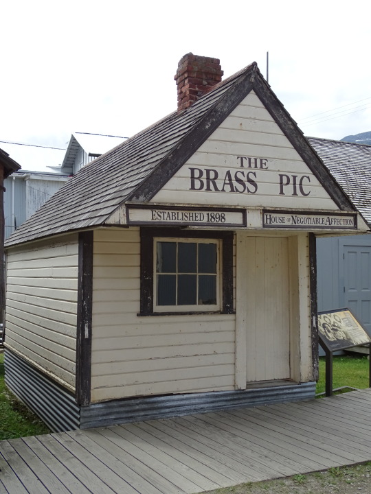
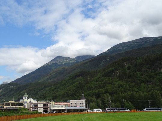
Wrangell's History Thrives in the Southeast Alaska Rainforest
New Post has been published on https://www.usatelegraph.com/2018/wrangells-history-thrives-southeast-alaska-rainforest/
Wrangell's History Thrives in the Southeast Alaska Rainforest
Wrangell is only 90 miles north of Ketchikan but feels a world away, and in some ways, it is. Accessible via boat or aircraft, Wrangell is a unique example of small-town life, and once you arrive here, you’re likely to realize this is the Alaska you had been hoping for. Located near the top of beautiful Clarence Strait, and at the mouth of the shallow Stikine River, Wrangell is also one of the most diverse towns you’ll find in the entire state, thanks to a number of historical events and interesting individuals.
Situated on Wrangell Island, sandwiched between the mainland and Etolin Island, Wrangell has seen a surprising number of residents and visitors over the last hundred or so years. Explorers, fur hunters, and on-the-way gold seekers found the town to be quite to their liking from a navigational perspective and in the value of wildlife like sea otters, that could be killed for their fur. While Russian fur traders were the first non-Natives to claim Wrangell for the preservation of their interests by building a fort in 1833, George Vancouver was actually the first white man to set foot upon Wrangell’s soil during a quick survey visit in 1793. It must have been superficial, however, because Vancouver missed finding the Stikine river that leads into what is now Canada and the Coast Mountain range.
When the Russians built Fort Redoubt St. Dionysus, as Wrangell was first called, the local Tlingit indians relocated to the center of the new town on a small plot of land today called Shakes Island (named after then-Chief Shakes V).
Here, the Tlingit helped manage fur trading with their own shrewd abilities and helped lead the fur industry toward a resurgance in value.
Shortly after the fort was completed, the famous Hudson’s Bay Company showed up wanting a piece of the action, intending to build their own post on the Stikine River.
When the Hudson Bay ship arrived in the community, Russian commanders refused them entry, saying the British had no right to the land. The Tlingit people joined the fray, claiming their right to the furs (and thus the ongoing trade influence), so the Hudson Bay sailors returned to Vancouver (the city) to ponder their options.
Eventually, the British, Russians, and Tlingits reached a land-lease agreement in 1840, costing payment of 2,000 otter skins for payment to the Russians, and delivery of food for Russian colonies on the west coast. But the British saw the potential of Wrangell’s resources and took the deal.
But when Alaska was purchased from Russia in the famous “Seward’s Folly” bargain in 1867, one more flag was due to fly from the post of Wrangell, so named for Baron von Wrangel of the Russian-American Company who originally founded the area. Once the Americans had established a military presence in the town, a flag of the United States of America flew high and proud, making a total of four to be hoisted up the flagpole over the previous 40 years.
Perhaps the most colorful individual to explore the land around Wrangell was naturalist John Muir, whose writings manage stir a sense of adventure in travelers, even today.
Muir came to Wrangell Island the first time in 1879, and wasn’t too impressed by the wet forests and boggy shorelines. Nonetheless, he stuck around and made his way up and down the wilderness of the island and adjoining waterways. The Stikine made an impression on him, Muir calling the Big Stikine Glacier a “broad, white flood,” unlike anything he’d ever seen before.
Impressed enough to visit? Wrangell’s visitor bureau can provide a full itinerary for Alaska visitors, whether interests lie in wildlife, fishing, or Tlingit culture.
Travelers seeking a bit of solitude and scenery will enjoy staying at the Grand View Bed and Breakfast, located a mile from downtown and the boat harbor. With a full kitchen, three separate sleeping quarters, a living room, and sweeping views of the sound beyond, Grand View lives up to its name.
Oh, and don’t overlook the filling breakfasts that will fuel one for a day of adventure.
Most visitors come to Wrangell to see the Stikine River, and see it you will with the help of Alaska Waters charter company, utilizing jet boats with shallow drafts to enable them to navigate the sandy delta. Take a ride to the glaciers, watch sea lions, or visit AnAn Wildlife Observatory to see brown and black bears feeding on salmon.
Tlingit history can be understood through an Alaska Waters cultural tour, where a trip to the ancient Chief Shakes House immerses one in dancing, drumming, and stories that date back generations.
Don’t forget to take a hike up Mount Dewey, especially in July, when ripe blueberries flank the trailsides and sometimes prevent an actual arrival at the summit. It’s worth the effort to go, however, as the top yields great views of Wrangell, surrounding mountains, and the occasional Alaska Marine Highway ferry passing by.
0 notes
Text


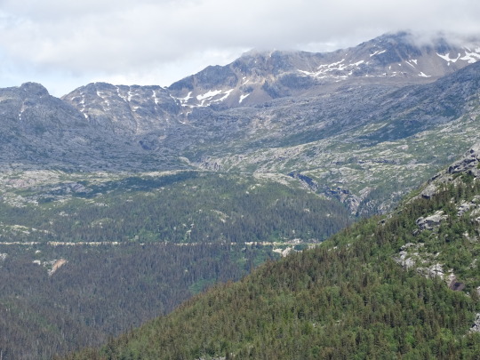
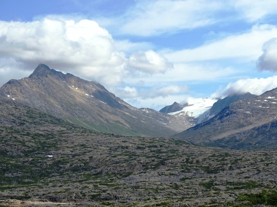
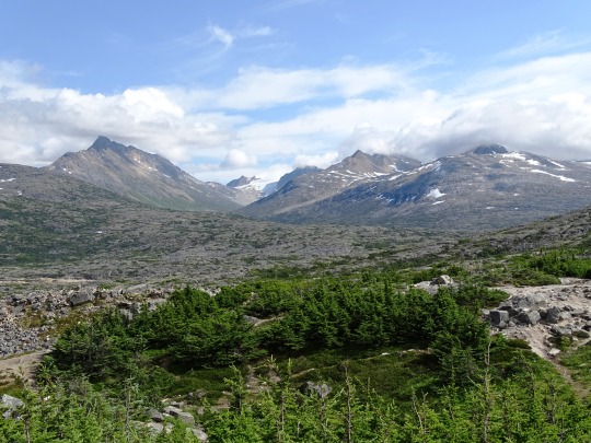
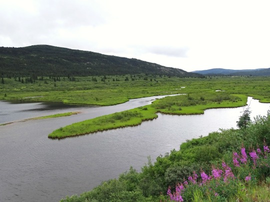
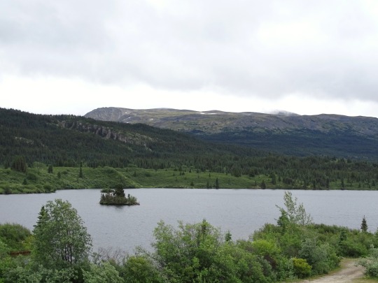
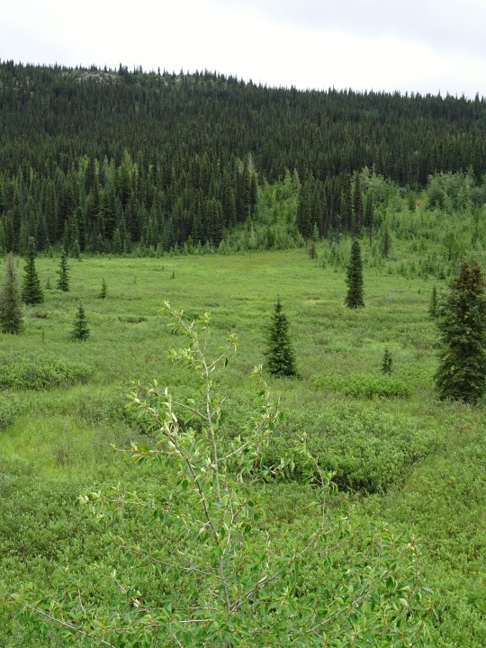
Pinetree Lake, BC (No. 1)
The British Columbia Interior, popularly referred to as the BC Interior or simply the Interior, is a geographic region of the Canadian province of British Columbia. While the exact boundaries are variously defined, the British Columbia Interior is generally defined to include the 14 regional districts that do not have coastline along the Pacific Ocean or Salish Sea, and are not part of the Lower Mainland. Other boundaries may exclude parts of or even entire regional districts, or expand the definition to include the regional districts of Fraser Valley, Squamish–Lillooet, and Kitimat–Stikine.
Home to just under 1 million people, the British Columbia Interior's 14 regional districts contain many cities, towns, airports, and associated regional, provincial, and national parks connected by the province's highway and railway network. The region is known for the complexity of its landforms, the result of millions of years of tectonic plate movements. The ecology of the region is dominated by temperate coniferous forest with patches of alpine tundra found atop its numerous mountain ranges.
The Northern Interior Plain is a continuation of the interior plain that takes in nearly all of Alberta and southern Saskatchewan and Manitoba. It extends from Monkman Provincial Park and Tumbler Ridge in the south, to Hudson's Hope and the Williston Lake in the west, to Fort St. John and Charlie Lake in the north. The term is used to mean the whole of the Northeastern Interior east of the Rockies, including Fort Nelson and other parts of the Liard drainage, and before W.A.C. Bennett Dam included the upper Peace River through its canyon between Finlay Forks and Hudson's Hope.
Source: Wikipedia
#Pinetree Lake#original photography#travel#vacation#tourist attraction#landmark#landscape#countryside#nature#Canada#summer 2023#fir#the North#cityscape#forest#woods#flora#British Columbia#wildflower#Stikine Highway#clouds#British Columbia Highway 37#Skeena Region#lake shore#Skeena Country#British Columbia Interior
12 notes
·
View notes
Text


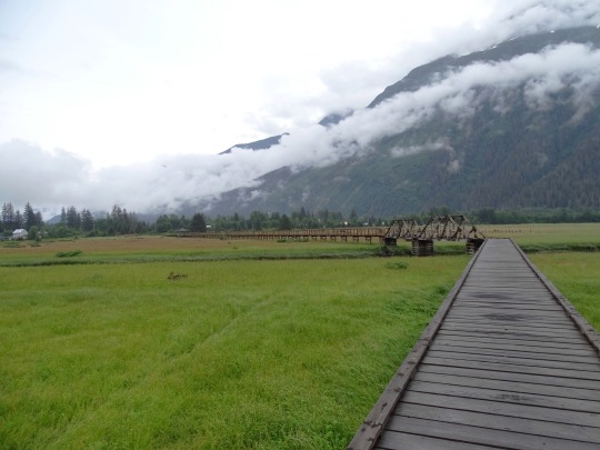
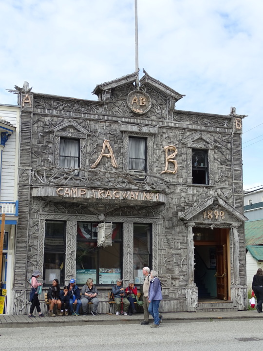


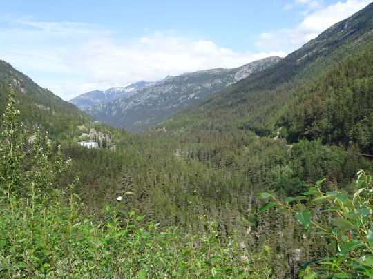


Alaska was purchased from Russia for $7.2 million, about two cents/acre ($4.19/km2) on March 30, 1867, by United States Secretary of State William H. Seward.
#Alaska#purchased#30 March 1867#USA#anniversary#US history#Skagway#Stewart#Kitimat–Stikine#Hyder#Portland Canal#British Columbia#Alaska Panhandle#Coast Mountains#Skagway Historic District#boardwalk#nature#cityscape#travel#original photography#vacation#tourist attraction#architecture#summer 2023#Canada#tide flats#18 October 1867#landscape#landmark#Klondike Highway
31 notes
·
View notes
Text


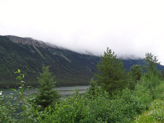
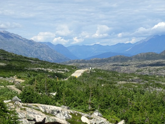
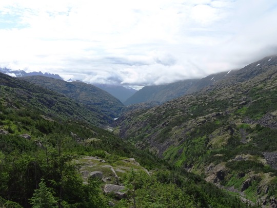
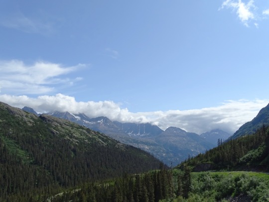
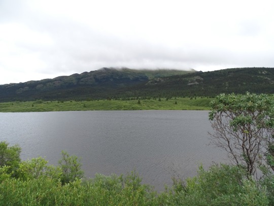
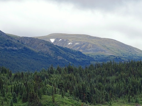
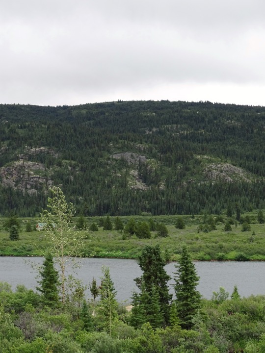
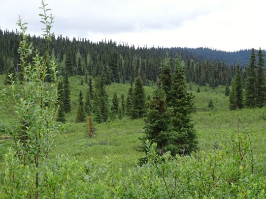
Dalby Creek, BC
The first settlement on Highway 37 north of Gitanyov – Iskut – is reached at 406 kilometre. Just a few kilometres north, the approximately 1100-metre-high pass between Zechtoo Mountain (1782 m) and Mount Poelzer (2169 m) is reached, which separates the valleys of the Iskut River and the Stikine River. A viewpoint 17 km north of Iskut offers a beautiful view of the inactive volcano Mount Edziza and the slag cones in its massif. Shortly behind it, the descent to the Stikine River begins, which is crossed at 437 kilometres.
Beyond the river, the ascent to Gnat Pass begins (1,141 m at 468 km). The snow-covered lane headed east of the highway dates from a abandoned BC project to connect Dease Lake to the railway network at Fort St. James. The track bed was already built over long distances, but tracks were never laid. The road descents after crossing the pass, which is the highest point of the entire road, towards the Tanzilla River, which is crossed at km 479.
Some roads serving local mining projects and forestry depart shortly after crossing Dalby Creek in an easterly direction. The now following hill, whose peak is crossed at an altitude of 820 m, is the continental watershed between the Pacific and the Arctic Ocean. Only one kilometre further north, the village of Dease Lake is reached at km 488.
Source: Wikipedia
#Dalby Creek#Dease Lake Highway#Stikine Ranges#original photography#travel#vacation#tourist attraction#landmark#landscape#countryside#nature#Canada#summer 2023#fir#the North#cityscape#forest#woods#flora#British Columbia#wildflower#Stikine Highway#clouds#river bank#Kitimat–Stikine#British Columbia Highway 37
11 notes
·
View notes
Text


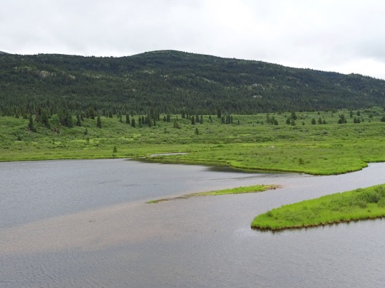
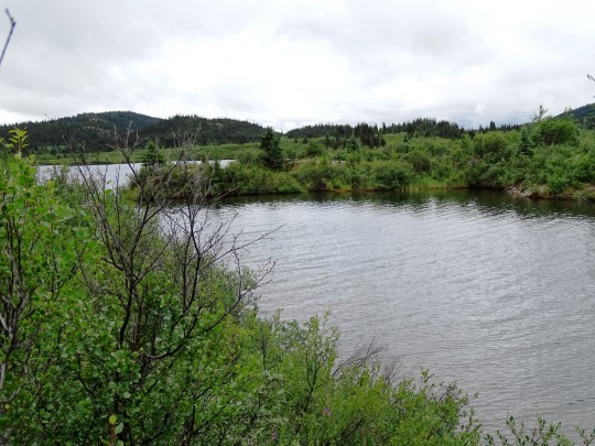
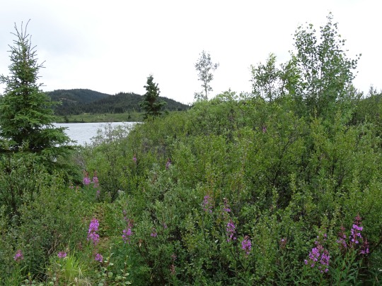
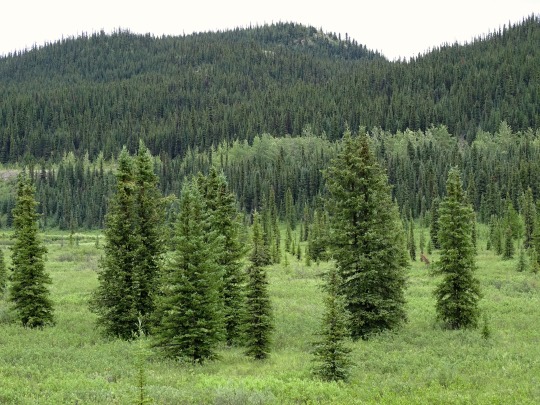
Lower Gnat Lake, BC
A gnat is any of many species of tiny flyinginsects in the dipterid suborder Nematocera, especially those in the families Mycetophilidae, Anisopodidae and Sciaridae. They can be both biting and non-biting. Most often they fly in large numbers, called clouds. "Gnat" is a loose descriptive category rather than a phylogenetic or other technical term, so there is no scientific consensus on what constitutes a gnat. Some entomologists consider only non-biting flies to be gnats. Certain universities and institutes also distinguish eye gnats: the Smithsonian Institution describes them as "non-biting flies, no bigger than a few grains of salt, ... attracted to fluids secreted by your eyes".
Source: Wikipedia
#Lower Gnat Lake#Three Sisters Range#Dease Lake Highway#Stikine Ranges#original photography#travel#vacation#tourist attraction#landmark#landscape#countryside#nature#Canada#summer 2023#fir#the North#cityscape#forest#woods#flora#food#British Columbia#wildflower#Stikine Highway#mountains#Stikine Country#clouds#meadow#island#wetland
5 notes
·
View notes
Text


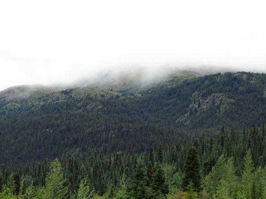

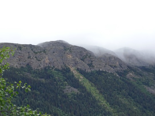
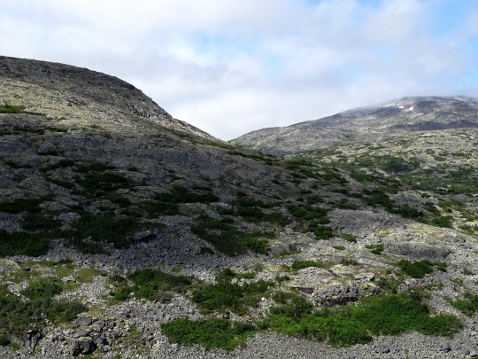
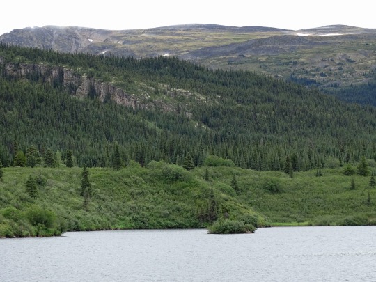
Upper Gnat Lake, BC (No. 3)
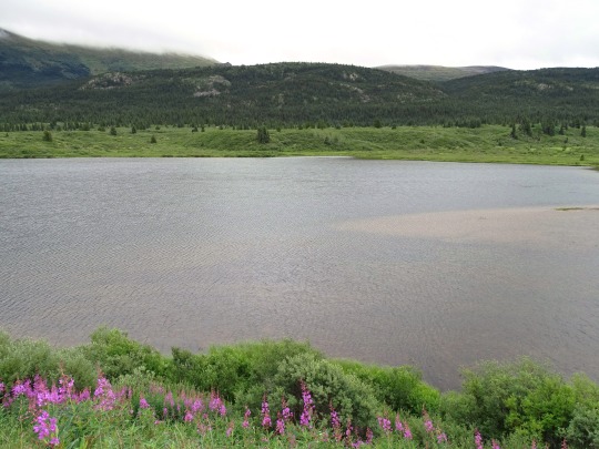
The Stikine Ranges are a group of mountain ranges and mountainous plateaus in northwestern British Columbia, Canada. They are the northernmost subdivision of the Cassiar Mountains and among the least explored and most undeveloped parts of the province.
The Sifton Ranges, which are also part of the Cassiar Mountains, lie immediately east of the Stikine Ranges just north of the Finlay River; northwest of there the larger Kechika Ranges lie between the Stikine Ranges and the Rocky Mountain Trench. The Stikine Plateau lies to the west of the Stikine Ranges.
The ranges run on a NW-SE axis from the Yukon boundary, adjacent to the Nisutlin Plateau at c. 60°00′00″N 131°45′00″W, to the Finlay River at c. 57°40′N 126°30′W.
Source: Wikipedia
#snow#Upper Gnat Lake#Three Sisters Range#Dease Lake Highway#Stikine Ranges#original photography#travel#vacation#tourist attraction#landmark#landscape#countryside#nature#Canada#summer 2023#fir#the North#cityscape#forest#woods#flora#food#British Columbia#wildflower#Stikine Highway#mountains#Stikine Country#clouds#meadow#island
5 notes
·
View notes
Text


Upper Gnat Lake, BC (No. 2)
The Three Sisters Range is a subrange of the Stikine Ranges, located northwest of junction of the Stikine and McBride Rivers in northern British Columbia, Canada and to the southeast of the community of Dease Lake.
Source: Wikipedia
#snow#Upper Gnat Lake#Three Sisters Range#Dease Lake Highway#Stikine Ranges#original photography#travel#vacation#tourist attraction#landmark#landscape#countryside#nature#Canada#summer 2023#fir#the North#cityscape#forest#woods#flora#food#British Columbia#wildflower#Stikine Highway#mountains#Stikine Country#clouds#meadow#island
2 notes
·
View notes
Text


Upper Gnat Lake, BC (No. 1)
The term Stikine Region should not be confused with the terms Stikine Territory, Stikine District, or Stikine Country, which all mean something slightly different:
Half the historical Stikine Country, roughly synonymous with the Stikine Mining District of colonial times, as being the entire basin of that river, is in the Regional District of Kitimat–Stikine.
The Stikine Territory was a colonial-era entity which existed briefly and had boundaries differing from that of the Stikine Country per se, being latitudinal on its eastern extent and so cutting across terrain rather than defined by it; its southern boundary was the line of the Finlay and Nass Rivers, while its northern boundary was the 62nd parallel, north of which was the North-Western Territory. When the Stikine Territory was absorbed into British Columbia in 1863, the North-West Territory was expanded south to the 60th parallel and the merged Stikine Territory significantly reduced in size. In 1867, the former Stikine Territory was further reduced in size when British claims on the lisière portion of the Alaska Panhandle were ignored by both Russia and the United States in course of the Alaska Purchase. Even after that, British perceptions that British territory had included the sites of Skagway, Haines and Dyea were overruled in the settlement of the Alaska Boundary Dispute.
Most of the Stikine Region, the boundaries of which reflect modern-era administrative realities, is composed of areas not part of the historical or geographical Stikine Country and the related Stikine Mining District but which were part of the Stikine Territory. These were the Atlin District and some of the Cassiar Mining Districts, as well as some of the Liard basin, plus the basin of the Tatshenshini-Alsekin the "BC Panhandle" west of Skagway and north of Alaska's Glacier Bay National Park.
Source: Wikipedia
#Upper Gnat Lake#Three Sisters Range#Dease Lake Highway#Stikine Ranges#original photography#travel#vacation#tourist attraction#landmark#landscape#countryside#nature#Canada#summer 2023#fir#the North#cityscape#forest#woods#flora#food#British Columbia#wildflower#Stikine Highway#mountains#Stikine Country#clouds#meadow#island
0 notes
Text


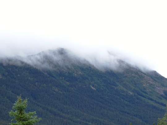
Gnat Pass, BC (No. 2)
The Stikine Region has a total population of 740 (2016) including 355 First Nations persons, most from the Taku Tlingit of Atlin and Teslin, British Columbia, and some reserves of the Kaska Dena Council. Reserves and band governments are outside the jurisdiction of the provincial government which governs the Stikine Region directly through various ministry operations, as it is not an administrative body like a regional district and has no board. The 2006 census count was 1,109 persons. Until December 2007 it had an area of 132,496 square kilometres (51,157 sq mi) or about the size of the US state of Alabama or the Canadian province of Nova Scotia. Its population density of one inhabitant per 160 square kilometres (62 sq mi) makes it the least densely populated census division in both British Columbia and Canada as a whole.
Source: Wikipedia
#truck#fireweed#Dease Lake Highway#Three Sisters Range#Stikine Ranges#original photography#travel#vacation#tourist attraction#landmark#landscape#countryside#nature#Canada#summer 2023#fir#the North#cityscape#forest#woods#flora#food#British Columbia#wildflower#Stikine Highway#mountains#Stikine Country#clouds#meadow#street scene
1 note
·
View note
Text


Gnat Pass, BC (No. 1)
The Stikine Region is an unincorporated area in northwestern British Columbia, Canada. It is the only area in the province that is not part of a regional district. The Stikine Region was left unincorporated following legislation that established the province's regional districts in 1968 and is not classified as a regional district. It contains no municipal governments which normally constitute the majority of seats on the boards of regional districts. There is only one local planning area, the Atlin Community Planning Area, which was combined in 2009 with the Atlin Community Improvement District to provide fire, landfill, water, streetlighting, sidewalks and advisory land use services. All other services not provided privately are administered directly by various provincial government ministries. The area around Dease Lake, formerly in the Stikine Region, is now within the boundaries of the Regional District of Kitimat–Stikine following a boundary amendment in 2008.
Source: Wikipedia
#Dease Lake Highway#Three Sisters Range#Stikine Ranges#original photography#travel#vacation#tourist attraction#landmark#landscape#countryside#nature#Canada#summer 2023#fir#the North#cityscape#forest#woods#flora#food#British Columbia#wildflower#Stikine Highway#mountains#Stikine Country#clouds#meadow
1 note
·
View note
Last Seen Blogs
seperduaarutala
Separuh Sisi

notquitejuly
indigo ju

thegedaljegroup
The Gedalje Group


creepycrawliess
Saw 3D #1 Defender