#creeks
Text
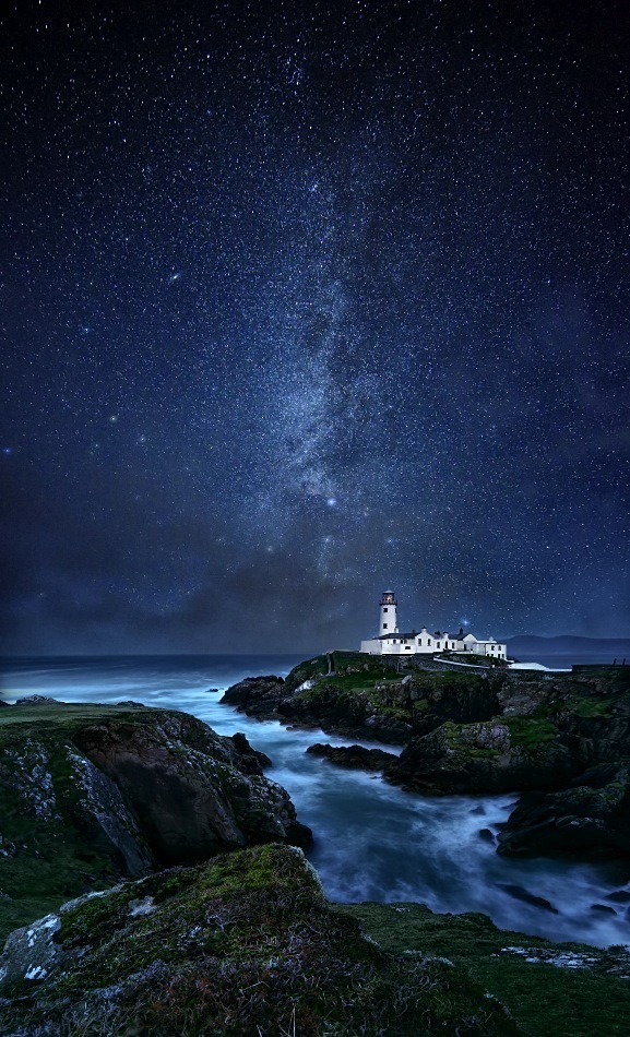
earthanthem - by Marius Kasteckas
#lighthouses#creeks#coasts#seas#oceans#photos#stars#earthanthem#landscapes & nature#villages & houses & cities & churches & lighthouses
298 notes
·
View notes
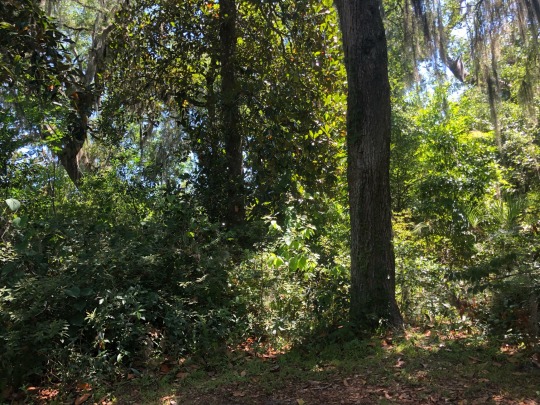
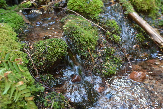
Text
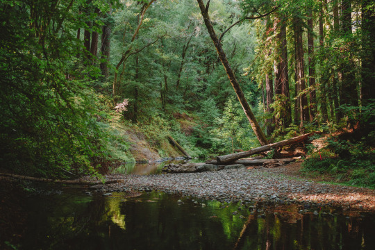

Saturday, October 7th
#digital photography#sonya7r4#sonya7riv#photographers on tumblr#photography#color photography#photographers of tumblr#original photography#flora#green#redwoods#sequoia sempervirens#creeks#rivers#water#lush#forests#woods#arboles#bäume#trees
269 notes
·
View notes
Text
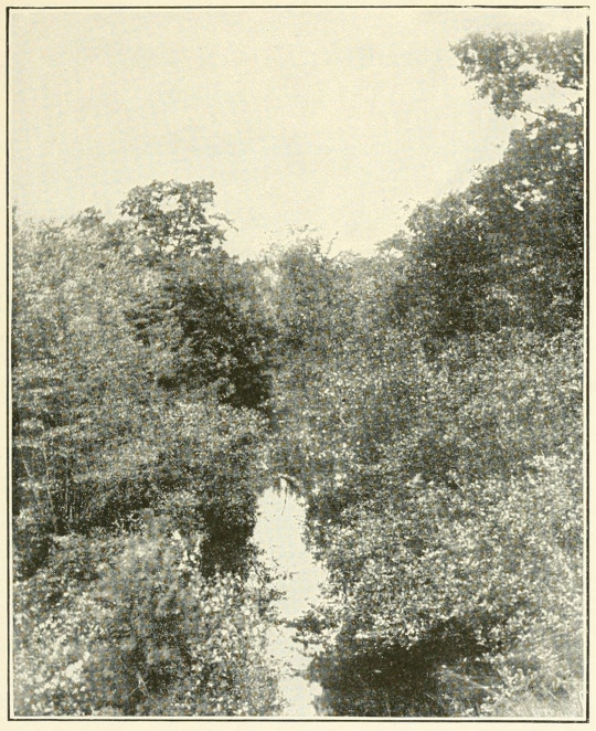
A brook. Mystic voices, an interpretation of nature. 1906.
Internet Archive
161 notes
·
View notes
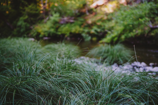
Text
i definitely need to hike more. forests are so pretty
#forest#hiking#gloworm pictures#photography#nature#nature photography#travel#trees and forests#trees#creeks
110 notes
·
View notes
Photo
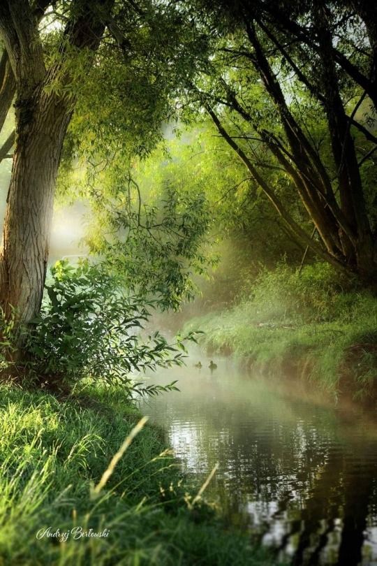
~ Summertime ~ Andrzy Bertowski
294 notes
·
View notes
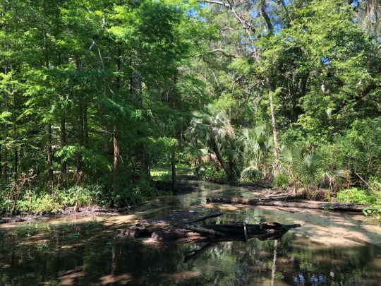
Text
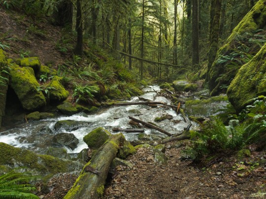
By obsidianphotog
#photographers on tumblr#nature#nature photography#photography#obsidian photography#outdoors#oregon#hiking#landscape photography#creeks#trees and forests
73 notes
·
View notes
Text
Creeks. In the summer, creeks are great little riparian areas to see water loving plants (Lewis monkeyflower, etc.) and water loving animals (American dipper to name one).
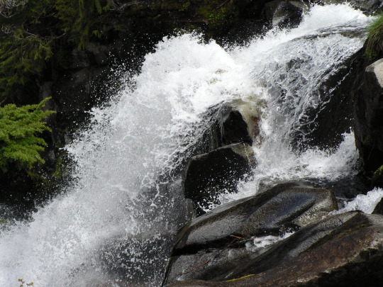
In Spring, creeks can be a bit more dangerous. One risk is that the deep snow pack builds snow bridges over the higher elevation creeks. As the snow melts, these snow bridges get thinner and thinner. Supporting less and less weight until something falls through. Please, don’t let that something be you.
While it’s great to spend these longer spring days out exploring, it’s important to know where a hidden creek may be lurking under a fragile snow bridge. Either using a paper or digital map, or GPS (make sure to have extra batteries), you can figure out where hidden creeks may be skulking and avoid these dangerous traps.
Creeks look happy, cheerful and benign in the summer but these hidden creeks can be running bank-full of just above freezing water. A fall could be a quick, freezing dip, or it could be far, far worse.
Play it safe and have a great adventure. Use your maps or GPS so you can have a wonderful time in your national park.
Which do you prefer paper maps or digital? Do you prefer a GPS over a plain map?
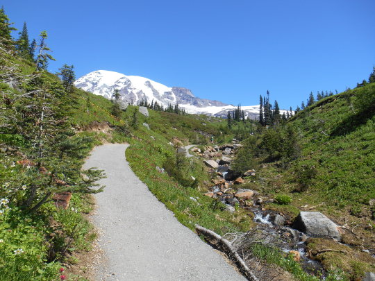
Park information on winter safety can be found here https://www.nps.gov/mora/planyourvisit/winter-safety.htm Information on the 10 Essentials can be found on this website https://www.nps.gov/articles/10essentials.htm Northwest Avalanche Center is at Home - Northwest Avalanche Center (nwac.us)
These photos are from years past and do not reflect current conditions. NPS/S. Redman photo. Waters of Paradise River cascade over rocks. June 2005. NPS photo. Looking up paved asphalt of Dead Horse Creek trail towards Mount Rainier. Dead Horse Creek waters run down over rocks beside the trail. May 2015.
26 notes
·
View notes
Text

Beautiful view above highland.
#landscape#highland#nature photography#nature#creeks#photography#photographers on tumblr#beautiful view
20 notes
·
View notes
Text
cold and clear..
278 notes
·
View notes
Text

small waterfall
#landscape#outdoors#peaceful#serene#nature#beauty#photography#fantasy#fall#fall leaves#creeks#fall colors#fall foliage#autumn#autumn leaves#autumn landscape#autumn leaf#autumn lover
33 notes
·
View notes
Text

loriedarlin
#loriedarlin#trees#creeks#seas#photos#trees & flowers & forests#sea views & coasts & beaches & islands & waves
93 notes
·
View notes
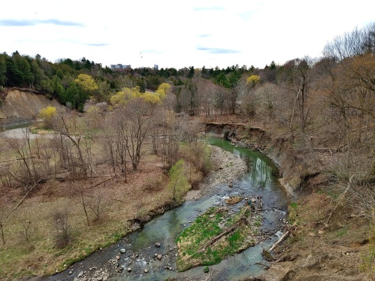
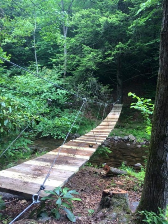
Text
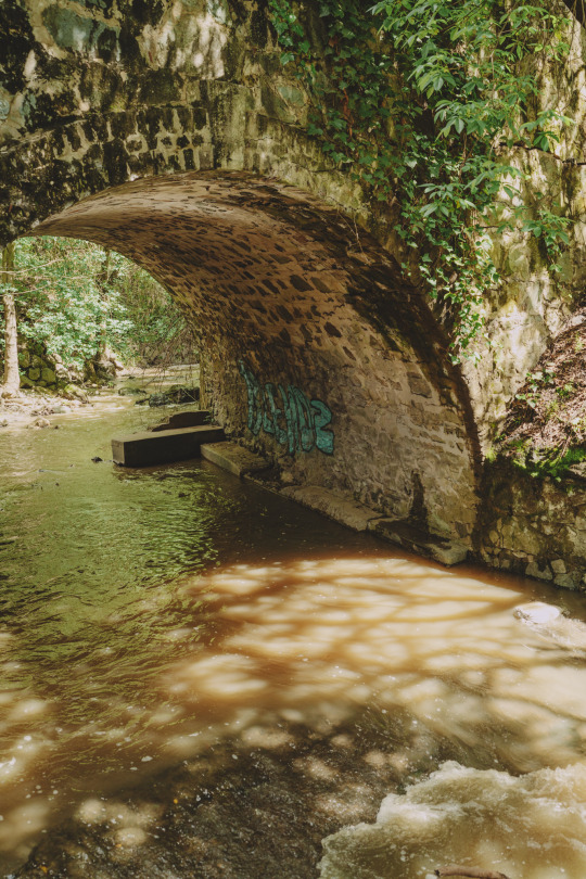
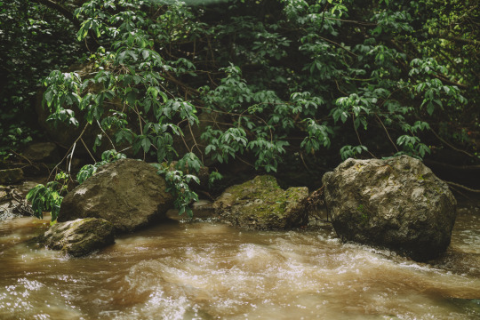
The creek downstream of here a few weeks ago
#original photography#photographers on tumblr#photographers of tumblr#sonya7riv#sonya7r4#green#creeks#bridges#graffiti
70 notes
·
View notes
Text
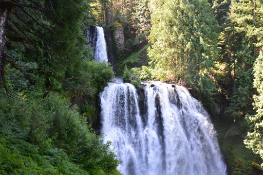
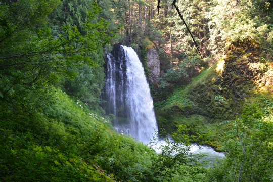
Marion Falls (2) (3) by Wolf Brown
14 notes
·
View notes
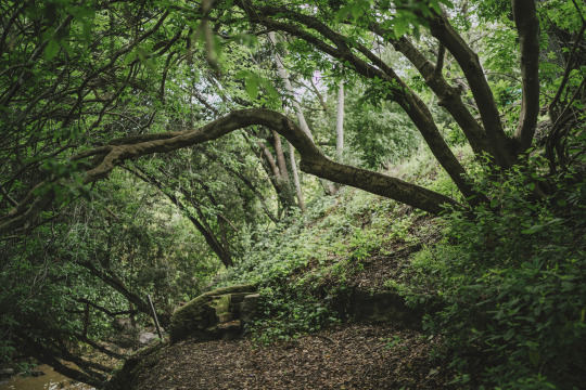
Text
Bear Creek Preserve, Pennsylvania
#nature photography#preserves#forest#trees#trails#paths#earthy#beautiful#beauty#escape#pretty#nature#healing#peaceful#nature preserve#wildlife#calm#spiritual#green#creeks#water#bridges#nature aesthetic#pennsylvania#bear creek
33 notes
·
View notes
Video

flickr
Norfolk Coastal Oystercatcher by Adam Swaine
Via Flickr:
The Oystercatcher is a large, stocky, black and white wading bird. It has an orange-red bill and reddish-pink legs. In flight it shows a wide, white wing-stripe, a black tail and a white rump that extends as a 'V' between the wings. Because it eats cockles, the population is vulnerable if cockle beds are overfished. They breed on almost all UK coasts. During the last 50 years, more birds have started breeding inland. Most UK birds spend the winter on the coast where they are joined on the east coast by birds from Norway.
#oyster catcher#perching#thornham#creeks#estuary#estuaries#wildlife#Birds#water birds#Waders#little birds#england#english#english birds#britain#british#british birds#seasons#Coastal#coast#coastal path#east coast#EAST ANGLIA#nature lovers#nature#natures finest#nature watcher#nature reserve#rural#beautiful
7 notes
·
View notes
Last Seen Blogs

thorpeg--archive
moved

cosmiconix
Cosmiconix

lucianogermano-blog
Sem título

aplateoflasagna
God I love this
xxxcasey
XxxCasey