#Borgholm Municipality
Text


Doors, Gates and Windows (No. 51)
Norrköping, S (five pics)
Öland, S (five pics)
#travel#original photography#vacation#tourist attraction#landmark#cityscape#architecture#detail#façade#door#window#exterior#gate#nature#balcony#flora#Sweden#Sverige#Scandinavia#Northern Europe#summer 2020#Norrköping#Östergötland County#Öland#Kalmar County#Borgholm Municipality#Mörbylånga Municipality
0 notes
Text
Crown Princess Victoria’s speech at Öland Bridge's 50th anniversary celebration, 30th September 2022
“Mr. Governor, Representatives of Borgholm, Kalmar and Mörbylånga municipalities, Dear islanders, Ladies and gentlemen,
It has been exactly 50 years since my father, then Sweden's crown prince, inaugurated the Öland Bridge. And I am so happy for the opportunity to follow in my father's footsteps today, and to celebrate this anniversary with you!
Few things are as full of power as a bridge. Strength, as in a stable construction in reinforced concrete. Power, as in the physical, connecting link that a bridge provides. And finally, the power that lies in people being able to move freely – able to travel, discover and meet.
Just as it is done here, on Öland and in Kalmar, bound together by this bridge since half a century ago. A bridge that millions of people cross every year, and that means so much to this whole region.
One story says that there are around 20,000 bolts in the Öland Bridge. But we have learned today that is not true. However, there are hundreds of thousands of screws! And there are probably at least as many different reasons to travel on it:
For many people, the bridge is the way to work and home. The way to friends and family. Or the path to new experiences - like this weekend's lovely harvest festival here on Öland!
When I was a child myself, Öland's bridge was the gateway to an endless summer holiday, to strawberries and swimming and the alvar in early summer bloom. The summer holidays may not feel quite as endless today... unfortunately! But there is still something very special about that moment, regardless of the season, when you roll onto the bridge from the mainland, and you look out over the glittering Kalmar Strait. Something happens to the body and soul.
That is also a kind of power; the feelings and memories that we associate with this mighty infrastructure. And I am particularly happy that precisely that – people's own memories of the bridge – are something that will be commemorated in the exhibition at Kalmar Castle that I visited earlier today.
Dear anniversary celebrants! Regardless of whether you are a resident or summer islander, commuter or tourist - the Öland Bridge is a prerequisite for this part of Sweden to live and develop. And so that more people can take part in all the wonderful things that Öland and the Kalmar region have to offer.
Today we celebrate 50 years with the Ölandsbron - and we look forward to many more!”
18 notes
·
View notes
Text
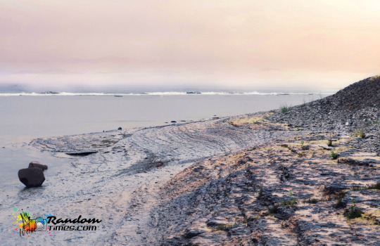
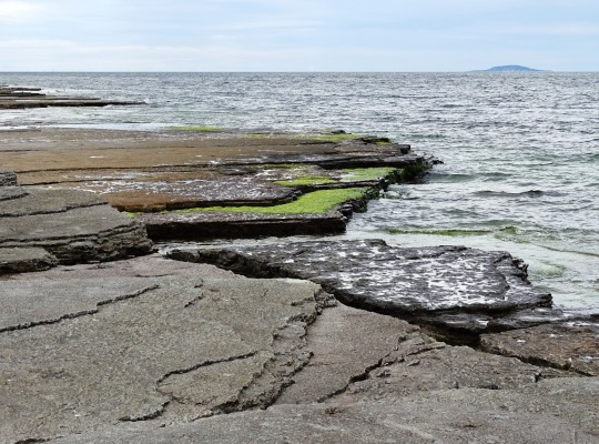
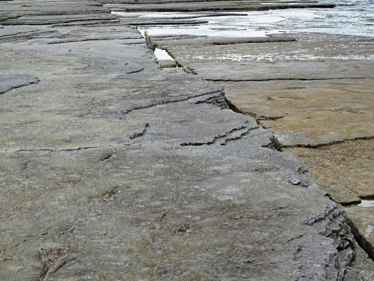
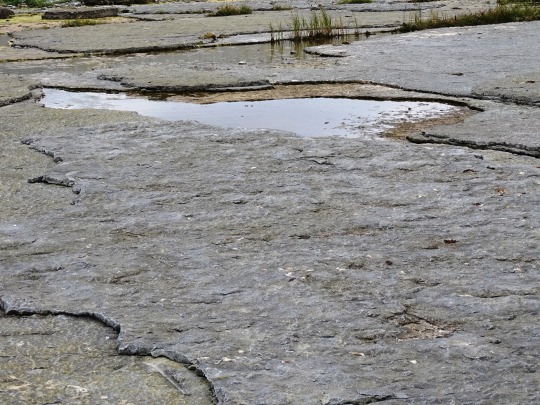
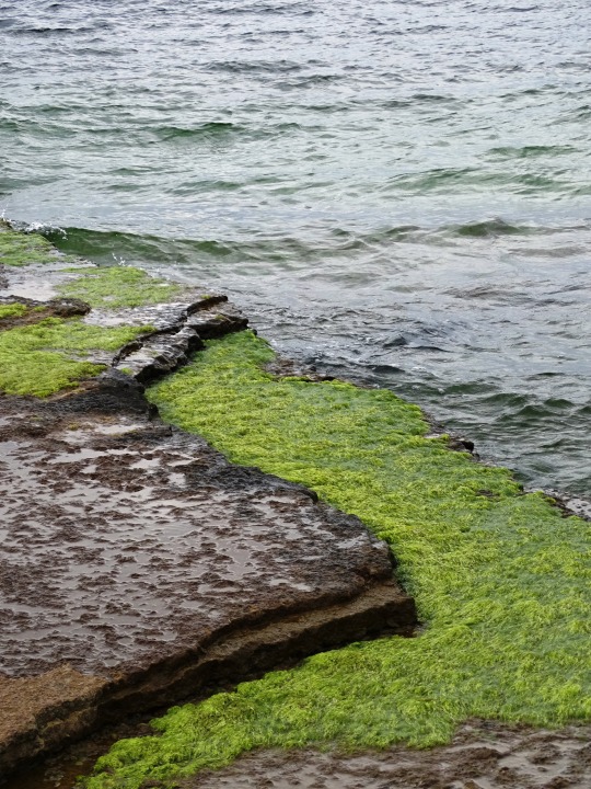
Neptuni Åkrar: a Swedish fossil-rich cobble beach that holds Viking graves, cairns, and other remains.
Neptuni Åkrar: a Swedish fossil-rich cobble beach that holds Viking graves, cairns, and other remains.
We are along the Northwest coast of the island of Öland, Sweden. Located in Borgholm Municipality along the Kalmar Strait, north of the village of Byxelkrok, lies Neptuni Åkrar, Swedish for “Neptune’s Fields,” a vast shingle beach dotted with unusual limestone rock formations and close to a Viking-era burial ground.
The cobble stones of Neptuni Åkrar result from stones left during the last ice…
View On WordPress
#beach#beaches#Europe#fossils#human#international#local history#nature#news#people#remains#sea#stories#Sweden#Travel#world
2 notes
·
View notes
Photo
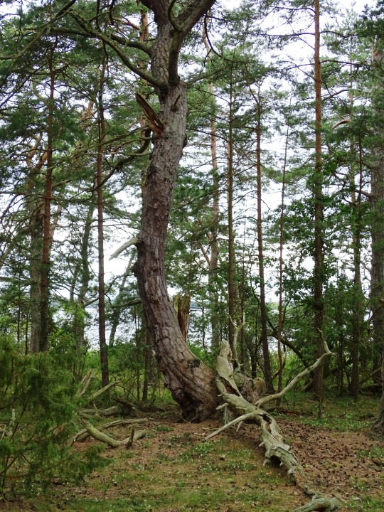
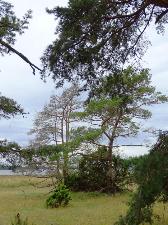
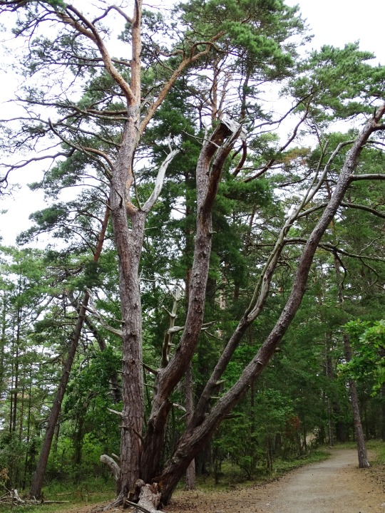
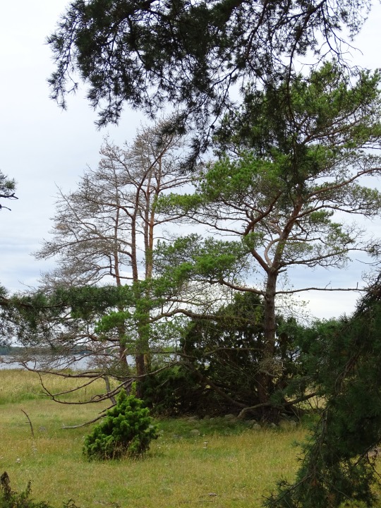
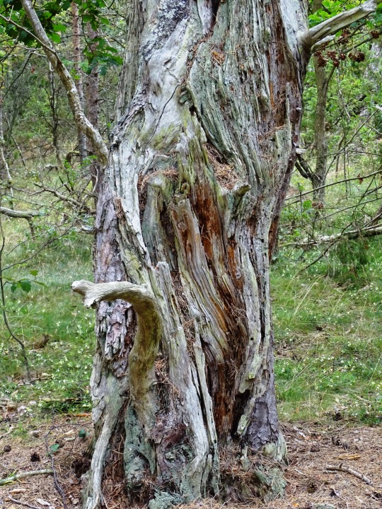
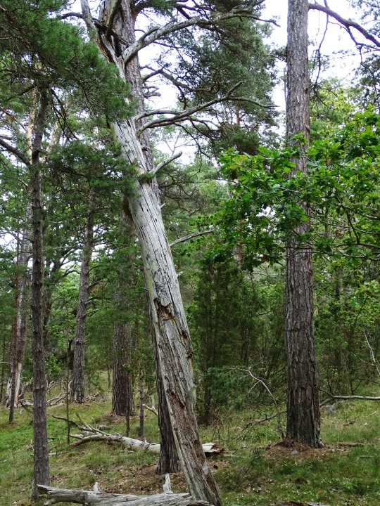
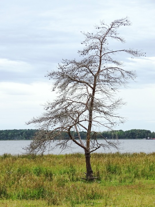
Trollskogen, Sweden (No. 4)
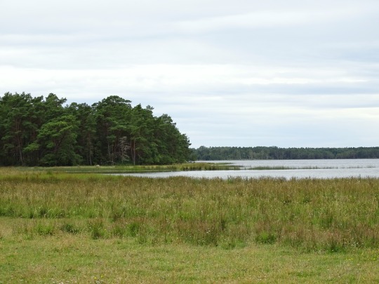
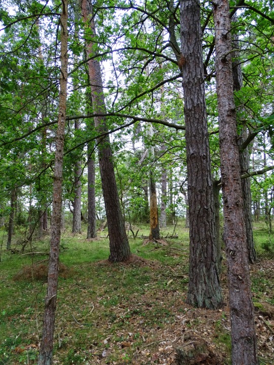
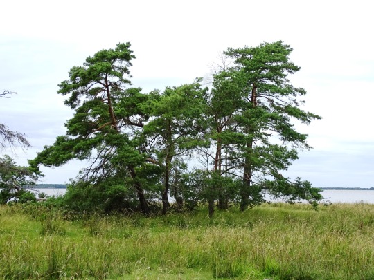
Trollskogen is a nature reserve located at Öland 's most north-eastern headland, and is part of Ekopark Böda . Trollskogen has previously been protected as a domain reserve . Trollskogen's southeastern border coincides with the eastern northern border of the Bödakusten nature reserve .
Closest to the shore on the Baltic Sea side are pine trees, often very old, which have received their distorted forms from the influence of the wind. There are also partially lichen-covered cobblestone fields here . The inner parts of the area are covered by a herbaceous mixed coniferous forest with up to 200-year-old pine and about 30 interspersed broad-crowned oaks and a very large element of a . These are a remnant of the open, grazed forests that used to exist in the Böda Forests. Even today, cattle graze here, which allows the forest to retain its "open" and species-rich character. The western shore, towards Grankullaviken , is mostly open with grazed beach meadows .
The old oaks and pines provide living space for insects as well as fungi, lichens and mosses. There is also a very rich flora here with many endangered and unusual species. Several species such as noble crown lichen, wood spike and short parasitic spike are very rare on Öland. Of the more unusual vascular plants found in Trollskogen, we can mention chervil , yarrow and Baltic wormwood . In Trollskogen there is also the pine processionary spinner butterfly , only found in three places in the Nordic region. Also noteworthy is the lichen Öland's spotted lichen , which is only found on the northern and southern ends of Öland and otherwise in the British Isles. In the Trollskogen there is the Trolleken, which is probably Öland's oldest oak. It is estimated to be between 800 and 900 years old and designated a natural monument.
Source: Wikipedia
#Trollskogen#forest#pine#tree#flora#original photography#nature reserve#summer 2020#Sweden#Sverige#Scandinavia#Northern Europe#travel#vacation#landscape#countryside#Kalmar County#Kalmar Strait#Kalmarsund#Borgholm Municipality#Öland#tourist attraction#landmark#tree bark
0 notes
Photo

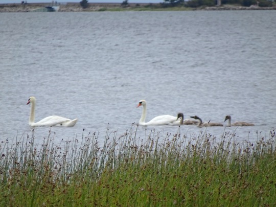

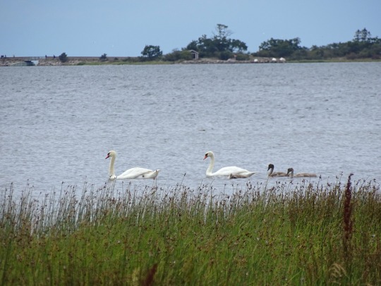
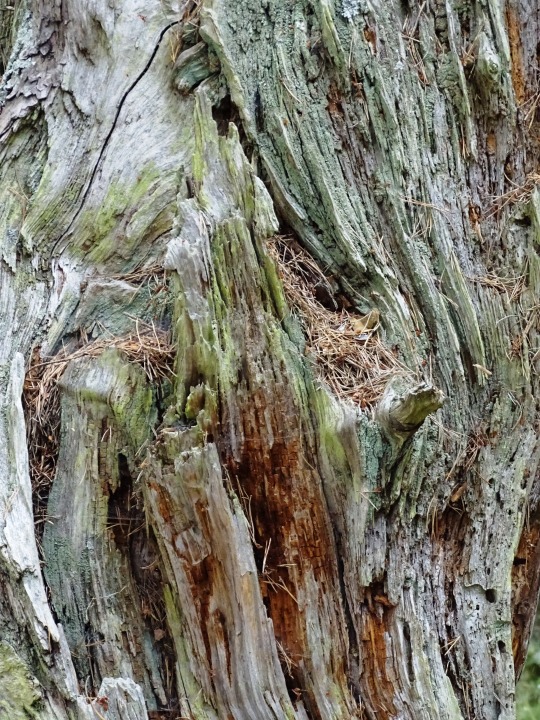
Trollskogen, Sweden (No. 3)
The oldest human traces in Trollskogen are some 15 cairns and stone circles. Grankullavik, formerly called Örboviken, was a naval base in the 15th century, dominating much of the central Baltic Sea. Traces of fortifications remain to the east and west, and a stone wall (possibly used to demarcate a hunting domain), some 230 feet (70 m) long and dating from the reign of King John III (1537–1592), remains to the south.
The eastern shore is the site of the wreck of the Swiks, a schooner that was wrecked on the coast on 21 December 1926; its crew of seven escaped in a lifeboat.
The area has three hiking trails, with signage, one of which is accessible for strollers. A nature center at the parking area provides information on the area and its surroundings.
Source: Wikipedia
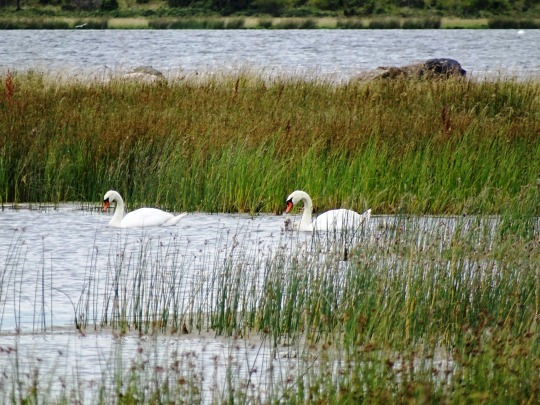
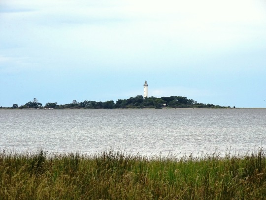
#Tall Erik#lighthouse#Trollskogen#nature reserve#Böda socken#travel#flora#Kalmar County#Kalmar Strait#Kalmarsund#Baltic Sea#landscape#Borgholm Municipality#countryside#seascape#tourist attraction#landmark#wildlife#bird#swan#meadow#pine#tree#architecture#Sweden#Sverige#summer 2020#Scandinavia#Northern Europe#Öland
0 notes
Photo
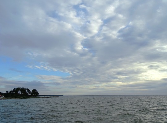

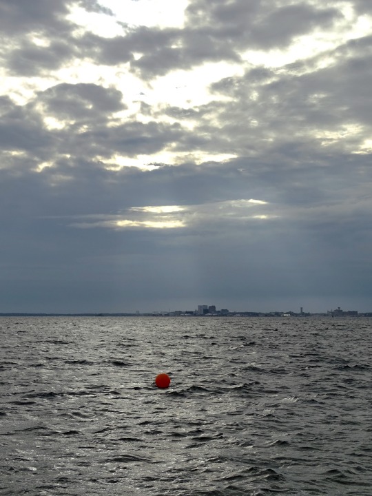


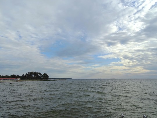
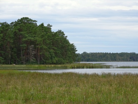
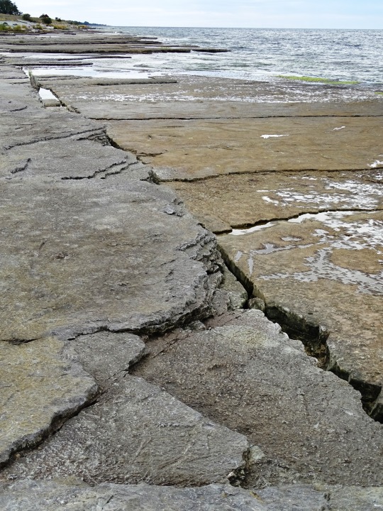
Kalmar Strait, Sweden (No. 4)
Färjestaden is a settlement in Torslunda parish (to a small extent also in Algutsrum parish ) in Mörbylånga municipality on the west coast of Öland, which connects to Kalmar on the mainland with the Öland Bridge. With its roughly 6,000 inhabitants (the central part), Färjestaden is the largest urban area on Öland, larger than the two central areas of Borgholm and Mörbylånga. Statistics Norway has demarcated for the development in the town a built-up area making up the main part of the town, and a separate small town before 2015 for development in the south-western part, which was named Färjestaden (south-western part) and which in 2015 amounted to the urban area. The ferry town is growing in area and today the areas of Saxnäs , Björnhovda, Runsbäck and Eriksöre are also more or less connected to the town.
Already during the 14th century, the place was an important connection between the mainland and Öland. In connection with the intense wars around Öland and Kalmar during the 17th century, Kråkeskär's Skans was built to fortify the place. At the same time, the mainland connection had been established with a permanent ferry organization, and a community began to emerge with, among other things, a courthouse, an inn and a tannery. The first ting was held in 1644 for Öland's southern mot. A courthouse was built in the early 18th century, and was replaced in 1811 by the building that is today Hotell Skansen's main building.
Until the beginning of the 20th century, Färjestadens gård owned both the harbor and the inn, as well as significant land in the area. In 1903, the port was sold to the neighboring country municipalities, which began an extensive expansion of the port area and the construction of a pier, marina and ferry berths. Previously, the harbor had only consisted of a simple wooden jetty. In 1909, Södra Öland's Railway connected a railway line between Färjestaden and Borgholm around the new ferry berths , and a locomotive workshop and storage for the shipment of goods arose in the harbor area. In the early 1920s, a timber trade was established, which increased construction and population growth in the following decades. The development was for a long time concentrated around the main street, which is today Storgatan.
In connection with the decision to build the Öland Bridge in the 1960s, the community entered a long-term phase of expansion. When the bridge was inaugurated in 1972, the regular ferry traffic ceased and the ferries were sold. One of the old ferries, Kalmarsund VIII, was bought back to Färjestaden in 1999 and is now moored in the harbour.
Source: Wikipedia
#Kalmar County#Kalmar Strait#Kalmarsund#Kalmar#Färjestaden#vacation#Baltic Sea#summer 2020#seascape#evening light#overcast#waves#travel#Sweden#Sverige#Scandinavia#Öland#sun rays#tourist attraction#landmark#island#skyline#Northern Europe#original photography#reflection
3 notes
·
View notes
Photo


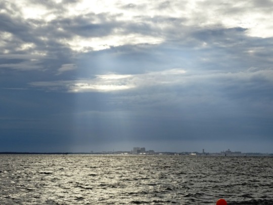
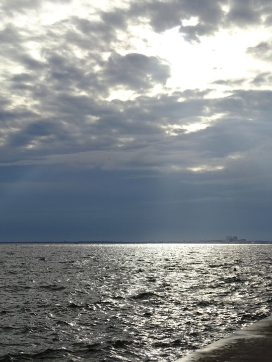
Kalmar Strait, Sweden (No. 3)
Färjestaden is a locality situated in Mörbylånga Municipality, Kalmar County, Sweden with 5,018 inhabitants in 2010. It is located in the southern part on the island of Öland, on the Kalmar Strait-side of the island, south of Borgholm. Färjestaden, literally The Ferry Town, is named after the ferries that used to be the only connection to the mainland. Nowadays the car-bridge Ölandsbron connects the mainland with the island, and Färjestaden has had an impressive population increase, making it several times bigger than the town Mörbylånga.
In the city center of Färjestaden there is a shopping mall with, among other things, a pharmacy, grocery store and local library.
FBC Kalmarsund is based in the town.
Source: Wikipedia
#Kalmar Strait#Kalmar County#Kalmarsund#Kalmar#Baltic Sea#travel#evening light#original photography#summer 2020#seascape#reflection#sun rays#overcast#clouds#Färjestaden#cityscape#harbor#architecture#skyline#Sweden#Sverige#Scandinavia#Northern Europe#tourist attraction#landmark#view
0 notes
Photo


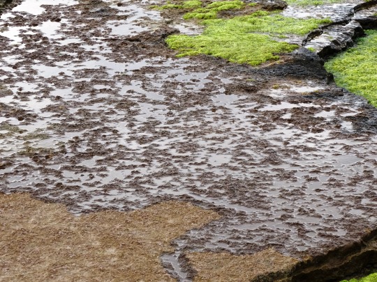
Neptune's Fields, Sweden (No. 7)
This ancient burial ground is filled with various cists and cairns, Viking-era graves, stone circles, and a Bronze Age ship-shaped burial mound called the Forgalla Skepp (Forgalla Ship). The beach is also rich with fossils, including numerous trilobite and brachiopod fossils.
Know Before You Go
Neptuni Åkrar is on the coast and therefore likely to be windy. It is also a nature reserve so visitors should respect the area and not litter or take home rocks as souvenirs. It's best to visit in June if you want to see the blueweed blossoms. The pin points to the viking graves at the southern end of Neptuni Åkrar.
Source
#Neptune's Fields#Neptuni åkrar#fossil#cobble beach#shore#coast#travel#Kalmar County#Kalmar Strait#Kalmarsund#Borgholm Municipality#Öland#island#Sweden#Sverige#Scandinavia#Northern Europe#summer 2020#landscape#seascape#countryside#tourist attraction#landmark#nature reserve#original photography#flora#rock formation#free admission
2 notes
·
View notes
Photo


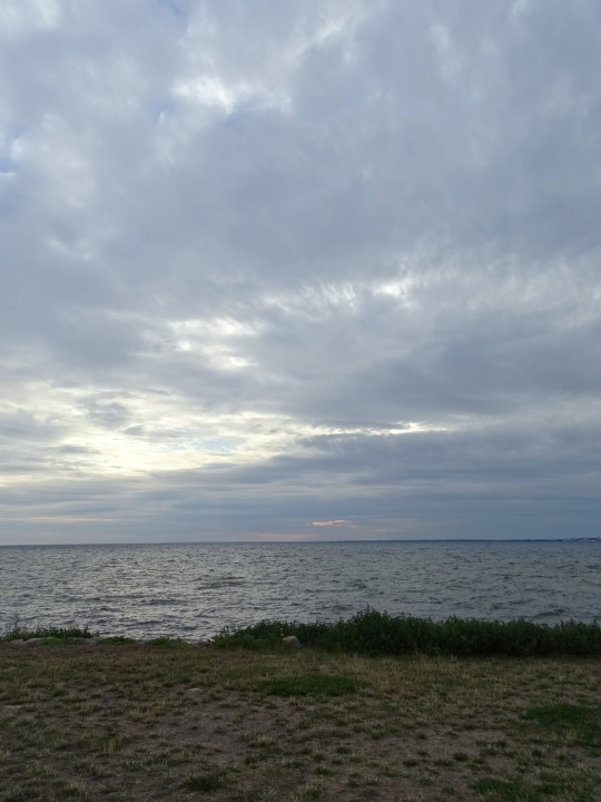
Clouds (No. 362)
Borgholm Castle, Sweden
#Borgholm Castle#Nicodemus Tessin the Elder#Borgholms slott#Borgholm#Kalmar County#Borgholm Municipality#Baltic Sea#Kalmar Strait#Ostsee#view#courtyard#small town#landscape#countryside#tower#window#burnt out#ruins#summer 2020#Sweden#Öland#Scandinavia#travel#Northern Europe#Sverige#tourist attraction#landmark#flora#tree#forest
19 notes
·
View notes
Photo


Clouds (No. 372)
Byrums Raukar, Sweden
#Byrums Raukar#Öland#Baltic Sea#blue sky#clouds#nature#seascape#lichen#flora#original photography#free admission#limestone stack#travel#Borgholm Municipality#tourist attraction#landmark#geology#Sweden#Sverige#Scandinavia#Northern Europe#Blå Jungfrun#island#Ostsee#forest#woods#rock formation#summer 2020#Kalmar County#beach
6 notes
·
View notes
Photo


Clouds (No. 371)
Byrums Raukar, Sweden
#Byrums Raukar#nature reserve#geology#Borgholm Municipality#Öland#Baltic Sea#Ostsee#landscape#seascape#tourist attraction#landmark#free admission#limestone stacks#nature#water#blue sky#clouds#original photography#summer 2020#vacation#travel#Sweden#Sverige#Scandinavia#Northern Europe#view#Blå Jungfrun#ripples#lichen#flora
6 notes
·
View notes
Photo

Cloudy
What do you think about my pic?
#Borgholm Castle#Borgholm slott#Borgholm Municipality#Kalmar County#Baltic Sea#Ostsee#architecture#ruin#view#Öland#tourist attraction#landmark#Sweden#summer 2020#original photography#Sverige#Scandinavia#Northern Europe#photo of the day#What do you think about my pic?#sky#clouds#water#landscape#seascape
13 notes
·
View notes
Photo


Clouds (No. 376)
Neptune’s Fields, Sweden
#Neptune’s Fields#Borgholm Municipality#Neptuni åkrar#beach#Baltic Sea#Kalmar Strait#sky#overcast#clouds#geology#original photography#travel#summer 2020#tourist attraction#free admission#nature reserve#landmark#nature#waves#Öland#island#vacation#Sweden#Scandinavia#Sverige#Northern Europe#seascape#landscape#countryside
3 notes
·
View notes
Photo

Holes
What do you think about my pic?
#Borgholm Castle#Borgholm slott#Borgholm Municipality#architecture#travel#Sweden#Sverige#tourist attraction#landmark#original photography#vacation#summer 2020#Scandinavia#Northern Europe#Öland#island#photo of the day#What do you think about my pic?#window#tower#looking up
6 notes
·
View notes
Photo

In Line
What do you think about my pic?
#Lerkaka#Kalmar County#Öland#Borgholm Municipality#windmill#travel#row of mills#Lerkaka kvarnrad#Runstens distrikt#engineering#landmark#tourist attraction#wooden mill#original photography#summer 2020#Sweden#Sverige#photo of the day#What do you think about my pic?#Northern Europe#Scandinavia#nature#small town#blue sky#clouds
6 notes
·
View notes
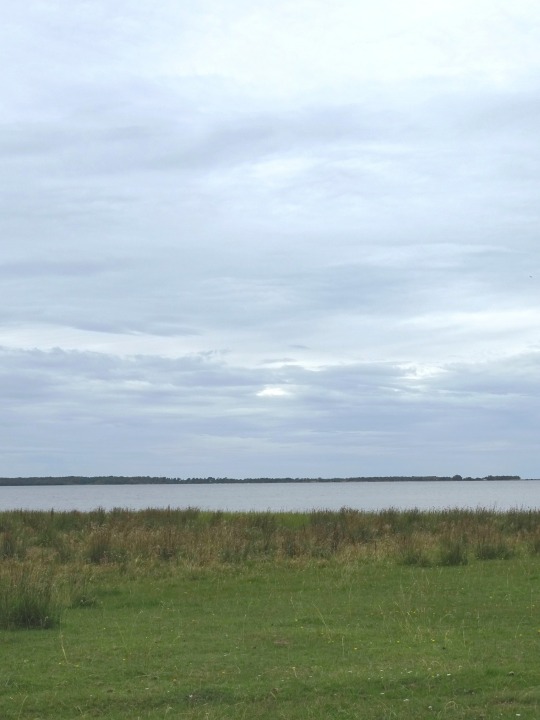
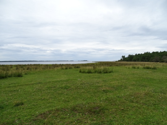
Photo


Clouds (No. 379)
Trollskogen, Sweden (six pics)
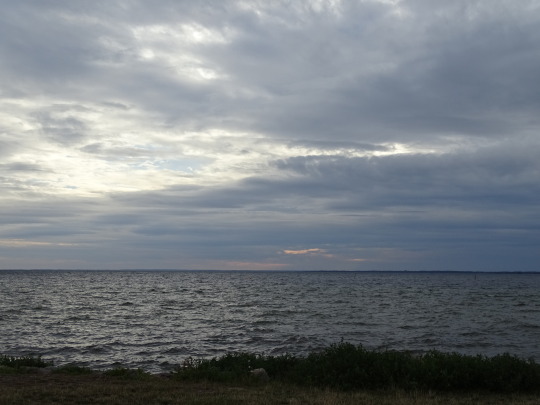
Kalmar Strait, Sweden (four pics)
#Trollskogen#Böda socken#Borgholm Municipality#Kalmar County#Sweden#Kalmar Strait#Baltic Sea#meadow#nature reserve#woods#forest#tree#grass#flora#free admission#original photography#summer 2020#sky#clouds#overcast#tourist attraction#landmark#reed#Färjestaden#Kalmar#Öland Bridge#skyline#architecture
2 notes
·
View notes
Last Seen Blogs

hyderabad-service-center
Untitled

nuvoledivalium-blog
Resoconto di un personaggio quasi esistente.

cryptidslugreads
We really be doing this again

birbshawty-blog
Aurora

jumidesigns-blog
JumiDesigns