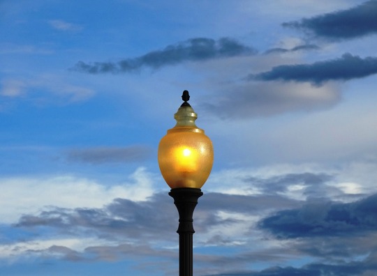
#san luis valley
Text

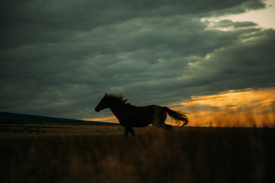
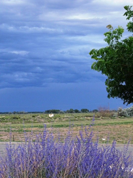
Highway 17 through the San Luis Valley, CO
#san luis valley#colorado#aliens#ufos#aliens and ufos#cryptids#bigfoot#alien#supernatural#travel#photography#nature#aesthetic#colorful#sunset#cosmic#space
112 notes
·
View notes
Text

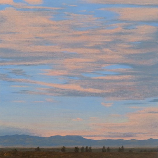
Crestone Sunset
Acrylic on canvas 8x10".
Crestone, Colorado.
Charles Morgenstern, 2024.
#colorado#sunset#art#artwork#painting#artists on tumblr#illustration#san juan mountains#san luis valley#crestone#sangre de cristo mountains#landscape#illustrator#illustrators on tumblr#charles morgenstern#tetramodal#sky#clouds#sunrise#nature#acrylic#drawing#realism#impressionism#expressionism#outdoors#wilderness#environment#southwest#mountain
83 notes
·
View notes
Text
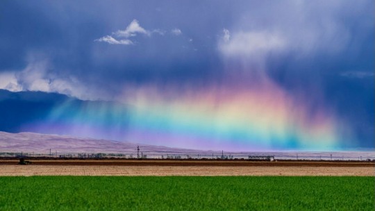
Jeremy Daniel: Traveling rules: When out and about, you notice locals pulling over on the highway to stare at something. You should probably pull over too. It’s likely something worth staring at.…… San Luis Valley, Colorado
Great Sand Dunes National Park and Preserve :: Robert Scott Horton
* * * * *
WHO KNOWS WHAT IS GOING ON
By Juan Ramon Jimenez
Who knows what is going on on the other side of each hour?
How many times the sunrise was
there, behind a mountain!
How many times the brilliant cloud piling up far off was already a golden body full of thunder!
This rose was poison.
That sword gave life.
I was thinking of a flowery meadow
at the end of a road,
and found myself in the slough.
I was thinking of the greatness of what was human,
and found myself in the divine.
[alive on all channels]
#Jeremy Daniel#San Luis valley#Colorado#Great Sand Dunes National Park#Robert Scott Horton#rainbow#alive on all channels#Juan Ramon Jimenez#poem#poetry
9 notes
·
View notes
Photo
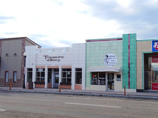
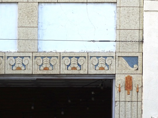

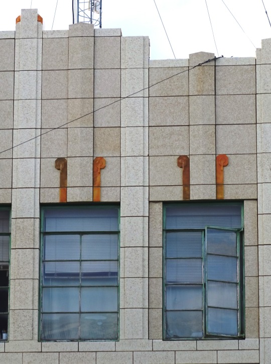
Alamosa, CO (No. 1)
Alamosa is a home rule municipality and the county seat of Alamosa County, Colorado, United States. The city population was 9,806 at the 2020 United States Census. The city is the commercial center of the San Luis Valley in south-central Colorado, and is the home of Adams State University.
Alamosa was established in May 1878 by the Denver and Rio Grande Railroad and quickly became an important rail center. Alamosa was the terminus of the D&RG until 1881, when the line was extended to Monte Vista. The railroad had an extensive construction, repair and shipping facility in Alamosa for many years and headquartered its remaining narrow gauge service here with trackage reaching many points throughout southwest Colorado and northern New Mexico. Alamosa is now a notable tourist town with many nearby attractions, including the Great Sand Dunes National Park and Preserve, Colorado Gators Reptile Park and the Rio Grande Scenic Railroad. The town hosts "Summer Fest on the Rio" which occurs the first weekend in June, the Early Iron car show over the Labor Day weekend, and "Weekends on the Rio" on various Sundays throughout the summer The city takes its name from the Spanish adjective Alamosa, meaning "of cottonwood", for the cottonwood forests which grow along the Rio Grande and throughout town.
Source: Wikipedia
#Main Street#Art Deco#tiles#Alamosa#Colorado#Mountain West Region#San Juan Building#flora#tree#flower#original photography#small town#San Luis Valley#architecture#façade#cityscape#landmark#tourist attraction#downtown#summer 2022#small shops#window#detail#evening light
12 notes
·
View notes
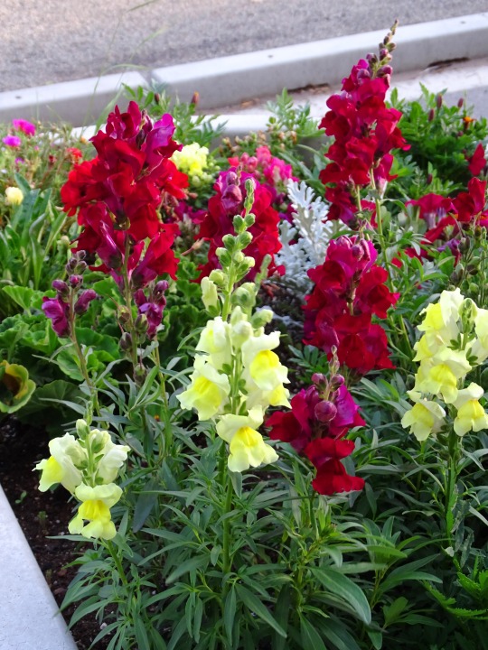
Text

#nature#mountains#hiking#landscape#colorado#sunset#desert#joyful journey#hot spring#San Luis#san luis valley#tipi#teepee#sangre de cristos#sangre de cristo mountains#50
97 notes
·
View notes
Photo

Check out the land I bought in southern Colorado...
https://youtu.be/4EnB0jmu4Z8
7 notes
·
View notes
Text

13 notes
·
View notes


Text
Orisons by Marguerite Humeau
1 note
·
View note
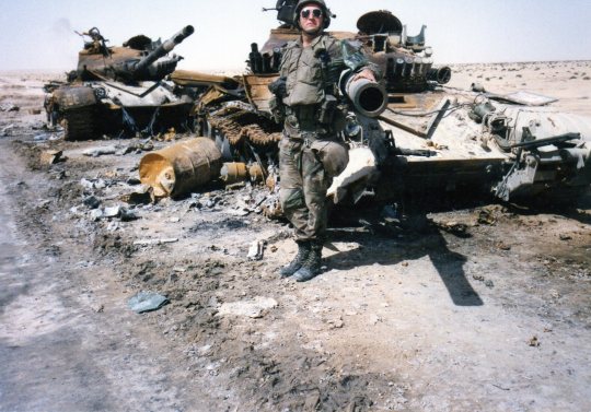
Text
Part 3 – PTSD – Why Talk about it? No one listens?
NOTE: I’m going to be dead honest here. This post was hard to write, and it points out something you’ll hear again and again (and not just from me). You might get past it, but you never forget it. The other is what I consider a dying art, and that’s the art of “listening.” And I’ll talk a little about what happens when someone isn’t listened to. Indeed, I’m not sure what hurt most, the incident…
View On WordPress
#1st Armored Division#1st Infantry Division#Gulf War#Listening to People#Military Police#PTSD#San Luis Valley
0 notes
Text
Crestone Sunrise
Acrylic on canvas 10x10".
Charles Morgenstern, 2023.
The San Juan Mountains seen from Crestone, Colorado.
#colorado#art#artwork#painting#sunrise#artist#artists on tumblr#crestone#san juan mountains#san luis valley#sangre de cristo mountains#acrylic#realism#impressionism#expressionism#sky#clouds#sunset#nature#outdoors#tetramodal#charles morgenstern#drawing#illustration#illustrator#illustrators on tumblr#wilderness#thanksgiving#fall#autumn
64 notes
·
View notes
Text
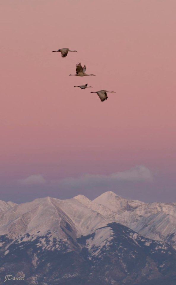
Colorado mountains :: Sandhill Cranes in the San Luis Valley. The migration has started. In a few weeks, there will be thousands.
Blanca Massif. Sangre de Cristo Mountains :: [Colorful Colorado Collective]
* * * *
“We cannot, for example, draw a line around the eyes that is not necessarily arbitrary. There is no point at which the eyes begin or end, either in time or in space or conceptually. The eye bone is connected to the face bone, and the face bone is connected to the head bone, and the head bone is connected to the neck bone, and so it goes down to the toe bone, the floor bone, the earth bone, the worm bone, the dreaming butterfly bone. Thus, what we call our eyes are so many bubbles in a sea of foam. This is not only true of our eyes but of our other powers of sensation as well, including the mind.”
- Red Pine "The Heart Sutra"
[Whiskey River Commonplace book]
#Sandhill Cranes#San Luis Valley#Colorado#blanca Massif#Sangre de Cristo Mountains#Red Pine#The Heart Sutra#whiskey river commonplace book#quotes#the senses#perception
4 notes
·
View notes
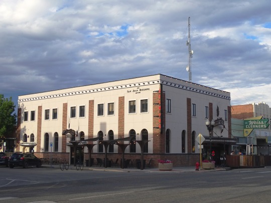
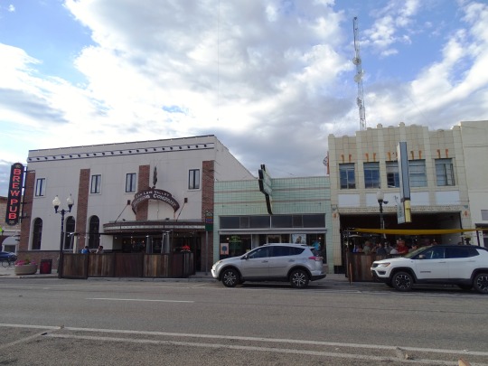
Photo


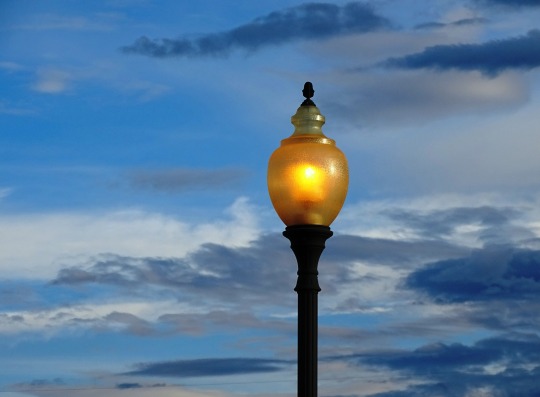


Alamosa, CO (No. 4)
The San Luis Valley was ceded to the United States by Mexico following the Mexican–American War. Hispanic settlers began moving north and settling in the valley after the United States made a treaty with the Utes and established a fort in the early 1850s. Prior to the Mexican war the Spanish and Mexican governments had reserved the valley to the Utes. Later in the 19th century Anglo settlers began to settle in the valley and engaged in mining, ranching, and irrigated agriculture. Today the valley has a diverse Anglo and Hispanic population.
The San Luis Valley is the broad, generally flat, valley at the headwaters of the Rio Grande in south central Colorado and far north central New Mexico. The northern portion of the San Luis Valley is an endorheic basin; surface water does not exit this area. Irrigated agriculture is possible in the area due to groundwater and streams fed by the average 100 inches of snow the surrounding mountain ranges receive. The southern portion is drained by the Rio Grande.
There is no clear southern boundary but the term is generally used to include the San Luis Hills of southern Colorado and the Taos Plateau of northern New Mexico. About 50 miles from east to west and about 150 miles from north to south, the valley is bounded on the east by the Sangre de Cristo Mountains and on the west by the San Juan Mountains.
Source: Wikipedia
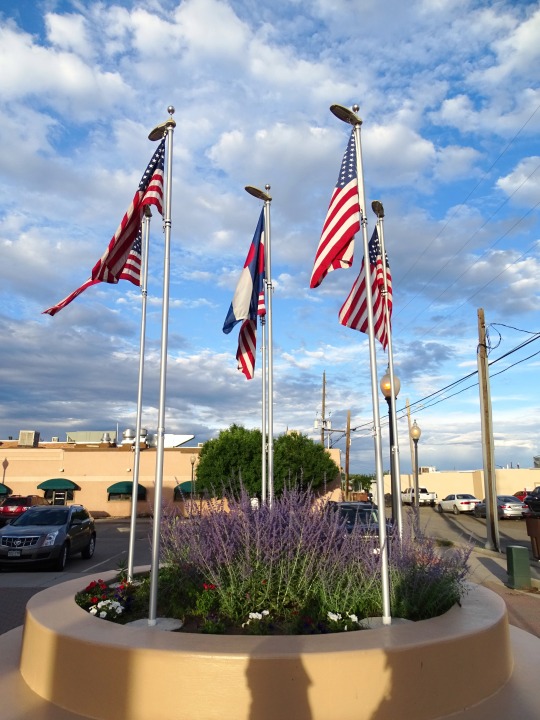
#San Luis Valley#Centennial Plaza#US flag#street lamp#street light#USA#evening sky#dark clouds#original photography#downtown#vacation#tourist attraction#landmark#lavender#San Juan Mountains#summer 2022#Rocky Mountains#Colorado#landscape#countryside#I really love the first pic#architecture#small town#Alamosa
8 notes
·
View notes
Text

64 notes
·
View notes
Text
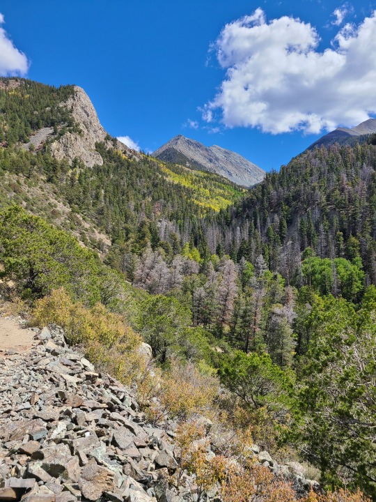
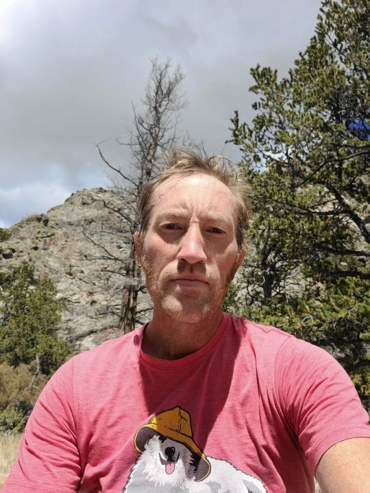
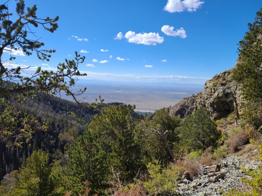
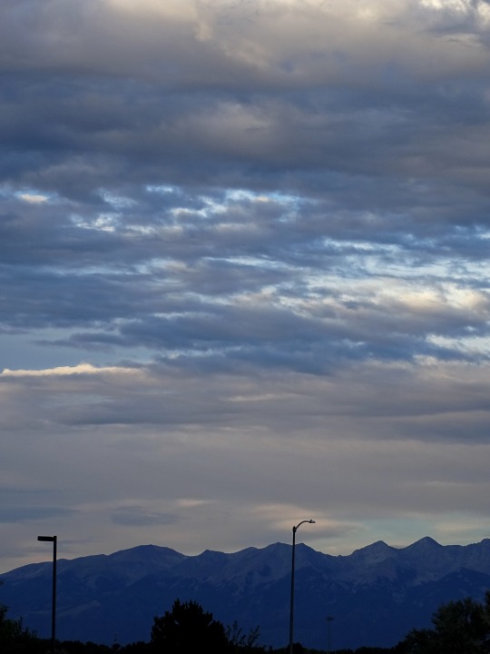
I hiked a section of the South Zapata Lake Trail in southern Colorado earlier this week…
2 notes
·
View notes
Last Seen Blogs

oneinsilence
Can you hear silence?

thefeminineessence
The Feminine Essence

sgrwgrw
Untitled

cristeela-blog
Untitled

txcwrds-blog
❛ loose lips, sink ships ❜ — YVANKA!