#Modoc Line
Explore tagged Tumblr posts
Visit Tumblr Blog
Explore Tumblr blogs with no restrictions, modern design and the best experience.
Last Seen Tumblr Blogs


Fun Fact
BuzzFeed published a report claiming that Tumblr was utilized as a distribution channel for Russian agents to influence American voting habits during the 2016 presidential election in Feb 2018.
Text
I want to point out a scene that I'm one 100% sure slip from everyone eyes when reading the cruel prince, so here we go:


When you read the book again after you have already experienced the Horror of the Coronation, you see little details like this one that means the world to me.
The first time I read the book, I was so in shock of modoc action and the death that happened that I didn't pay that much attention to the jude and cardan scene because all my mind was working on was why modoc did what he did and what does it mean for jude.
Any way in this scene jude put her hair down infront of cardan for the first time I think + he was already drunk so when he looked at her he saw a glorious woman that he is desperately need for his desire. So he was going to say, "You look.. magnificent / beautiful / breathtaking," how've he shut up because he can't lie.
And when jude left him to bring a mask for herself, he started to drink more to stop thinking of her. Then my new fav line is "his gaze burning into me. I have no idea what he sees, what he's looking for." You want me to move on from this line from his gaze being so obvious about his obsession for her. I'm sorry, but I could never do that ever.
#the man that cardan is 🙌#cardan greenbriar#long live cardan greenbriar#the cruel prince#jude duarte#jurdan#the folk of the air#folk of the air#holly black#cardan#cruel prince#cardan and jude
262 notes
·
View notes
Note
late as hell but i'd love to hear your thoughts/rambles on ciphertology bit of the website

i'm so glad it exists cos it shows how good bill is at manipulating his victims (and honestly to me he's always been best as a villain when he's limited to words and the knowledge he gained from spying on others + limited future vision)


silas' picture being an altered photo of the ponzi scheme guy is fun, and there's his immediate similarities with stan and contrasting tree last names


side tangent: bill must've been so excited to take over a corpse called birchtree, considering his association with them goes back to his debut when it wasn't even decided that he was the main villain of the story yet


bill!silas' first few lines being a bad joke is hilarious because bill went on a whole rant about how much he thinks stan's jokes sucks, and he acknowledges that his own one is terrible but uses it anyway

and sure the newspaper date is another hirsch twins bday reference (and me headcanon-ing the stan twin's birthyear so that they're around 60 during the time of the show) but the idea of bill having a full blown cult while the stan twins are lil babies that really sticks out to me... bill having full control over an entire town while his destined nemesis is doing diaper rash ads

anyway i feel like the section puts ford in a way more sympathetic light because he was the sole focus of bill's following portal attempt and we can see how brainwashed random townspeople got in just a few days when bill spent years manipulating ford
i wonder if this failure finally made bill realise he wastes too much time messing around while gathering too much attention and that's why he seemed a lot more focused with ford's attempt to build the portal and more determined to sabotage his bond with mcgucket cos he knows even a lil old lady is enough to sabotage all his work, and knows from his attempt with modoc that his victims having any support would make them turn on him more easily (although bill seems to be in denial that ford completely turned on him the moment he learnt the truth despite being completely alone)
#anyway this section makes bill even more of a foil to stan and i always love that#stan pines#bill cipher#ford pines
79 notes
·
View notes
Text

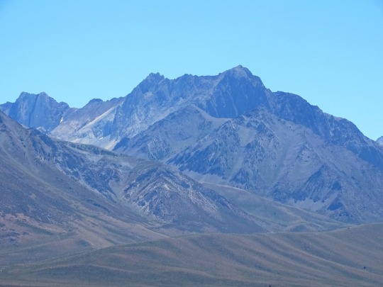
Mount Shasta
There’s a well-known legend that says that somewhere deep beneath Northern California’s 14,179-foot-tall Mount Shasta is a complex of tunnels and a hidden city called Telos, the ancient “City of Light” for the Lemurians. They were the residents of the mythical lost continent of Lemuria, which met its demise under the waves of the Pacific (or the Indian Ocean, depending on who you ask) thousands of years ago. Lemurians believed to have survived the catastrophe are said to have settled in Telos, and over the years their offspring have been sporadically reported wandering around the area: seven-feet-tall, with long flowy hair, often clad in sandals and white robes.
Lemurians aren’t the only unusual figures said to inhabit this stand-alone stratovolcano, easily seen from Interstate 5, about 60 miles south of the Oregon border. Mount Shasta is believed to be a home base for the Lizard People, too, reptilian humanoids that also reside underground. The mountain is a hotbed of UFO sightings, one of the most recent of which occurred in February 2020. (It was a saucer-shaped lenticular cloud.) In fact, the mountain is associated with so many otherworldly, paranormal, and mythical beings—in addition to long-established Native American traditions—that it’s almost like a who’s who of metaphysics. It has attracted a legion of followers over the years, including “Poet of the Sierras” Joaquin Miller and naturalist John Muir, as well as fringe religious organizations such as the Ascended Masters, who believe that they’re enlightened beings existing in higher dimensions. What is it about this mountain in particular that inspires so much belief?
“There’s a lot about Mount Shasta, and volcanoes in general, that are difficult to explain,” says Andrew Calvert, scientist-in-charge at the California Volcano Observatory, “and when you’re having difficulty explaining something, you try and understand it.” Calvert has studied Shasta’s eruptive history since 2001. “It’s such a complicated and rich history,” he says, “and Shasta itself is also very visually powerful. These qualities build on each other to make it a profound place for a lot of people—geologists, spirituality seekers … even San Francisco tech folks, and hunters and gatherers from 10,000 years ago. It’s one that can have a really strong effect on your psyche.”
Mount Shasta is one of the most prominent of all the Cascade volcanoes, an arc that runs from southwestern British Columbia to Northern California, and includes Washington’s Mount Rainier and Oregon’s Mount Hood, among others. “It’s so steep and so tall that it even creates its own weather,” says Calvert. This includes the spaceship-looking lenticular clouds that tend to form around the mountain, created, he says, “by a humid air mass that hits the volcano, and then has to go up a little bit to cool off.” But they only contribute to Shasta’s supernatural allure, along with its ice-clad peak, steaming fumaroles, and shape-shifting surface that’s being constantly broken down and rebuilt by ice, water, wind, and debris. The mountain also sits about 15 miles or so west of the standard arc line of the other Cascade volcanoes—a move that took place about 700,000 years ago. “We don’t really have a good explanation for why it moved out there,” Calvert says, a statement that seems to make Mount Shasta’s mysteries appear more otherworldly by the minute.
The Mount Shasta spiritual legacy goes far deeper than contemporary myths and sightings. For Native Americans in particular, the mountain is a sacred place, straddling the territories of the Shasta, Wintu, Achumawi, Atsugewi, and Modoc tribes, which can date their lineages back to a time when eruptions actually took place there. (Its last eruption, says Calvert, was a little over 3,000 years ago.)
There’s Something About Mount Shasta
44 notes
·
View notes
Photo

Coyote Tales of the Shasta Nation
The Coyote tales come from the Shasta people who originally inhabited the regions of modern-day northern California and southern Oregon. Coyote is a popular trickster figure among many Native peoples of North America, including the Shasta, and their Coyote tales are among the most popular. Two of the best-known are Why Mount Shasta Erupted and Land of the Ghost Dance.
Coyote in the Snow, Yosemite, California, USA
Yathin S. Krishnappa (CC BY-SA)
The Shasta came into contact with Euro-Americans in 1826, and soon after, their traditional lifestyle and culture suffered enormously. Scholar Adele Nozedar comments on their ancestral lands and culture and the challenges they faced after 1826:
Originally, the Shasta lived in California, and are remembered in the names of the Shasta River and Mount Shasta. The tribe lived in permanent villages rather than being nomadic or semi-nomadic, living in plank houses, using dugout canoes, and having acorns as a staple food. The Shasta divided up their territory into areas in which certain families had the right to hunt, a privilege that was handed down the father's line…A peaceful people, the Shasta suffered when the California Gold Rush started in the 1820's, some of them poisoned, for no reason, by settlers…, in common with others, in an attempt to reclaim a sense of identity, the Shasta embraced the Ghost Dance Movement.
(433)
Like the Pawnee, the rituals of the Ghost Dance (which naturally included songs, chants, and prayers in one's native language) helped the Shasta preserve their culture, their language, and the stories handed down through oral transmission for centuries; the Coyote tales among them. In June 2024, Governor Gavin Newsom of California gave back 2,800 acres of ancestral homeland to the Shasta in an initiative to right past injustices. Today, the Shasta continue to rebuild their language and culture and a significant aspect of that effort is their stories.
Coyote Tales of the Shasta
The Coyote tales, like the Iktomi tales of the Lakota Sioux or the Wihio tales of the Cheyenne, feature a central trickster character – who may appear in many different forms and roles but always teaches a lesson and is involved in some sort of transformative event – and, in this case, that main character is Coyote. Scholar Bobby Lake-Thom comments:
Coyote is one of the most ancient mythic symbols for most Native tribes. He is often portrayed as either the creator or the trickster. He is full of magic, special powers, and teachings. We learn from the lessons that Coyote gives us about the mistakes and/or accomplishments he has made in life.
(84)
As with other tricksters, the Coyote of the Shasta people may appear as a hero, a villain, a fool, a wise man, a Creator God, or a con artist depending on the tale. In Why Mount Shasta Erupted and Land of the Ghost Dance, he plays the role of the novice who fails to grasp a given situation; not necessarily a fool, but one lacking in experience and so prone to mistakes. In this role, Coyote is made accessible to an audience who may identify, and sympathize, with his errors and are given the opportunity to learn from them.
Why Mount Shasta Erupted is an origin tale explaining why Mount Shasta of the Cascade Range of modern-day Siskiyou County, California, looks the way it does. The story may also reference the historical event of the volcanic eruption of Mount Shasta c. 1250 and provide an explanation for that. The Shasta – along with other nations including the Klamath and Modoc – inhabited the region around Mount Shasta for approximately 14,000 years before the arrival of Euro-Americans, and the Shasta tale of the c. 1250 eruption could well date to shortly after that event. As the tale was passed down through oral transmission, however, its date of composition is unknown.
Mount Shasta in the Siskiyou Mountains, California
Greg Schechter (CC BY)
Land of the Ghost Dance shares similarities with death-origin myths of other Native American nations, including How Death Came into the World (Modoc legend) and the Kiowa death-origin myth: two versions - How Death Came into the World and Why the Ant is Almost Cut in Two. In the Shasta story, Coyote decrees death as a necessity but regrets this when his son dies. Land of the Ghost Dance references the vision of the Ghost Dance Movement of 1889 – that the souls of the dead lived on in another, better realm – but stands as a cautionary tale on the dangers of refusing to accept loss and clinging to the past. This theme is common to ghost stories of many different nations, notably The Ghost Wife of the Pawnee.
Continue reading...
27 notes
·
View notes
Video
flickr
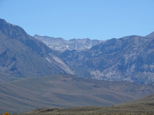
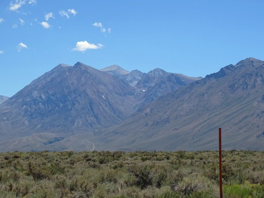
Dry Canyon Daily Double (2 of 2) by Greg Brown Via Flickr: Here are shots from each end of Dry Canyon Viaduct near Hotlum on the Black Butte Subdivision. In March 1988, an EURGM crosses the structure. If the Modoc Line had been open for through traffic at the time, this train would have been closing in on Alturas.
56 notes
·
View notes
Text
Silly Rant About Redrawing US State Borders
This is just an outsider's nerdy opinion on how to reshape the US and alter the structure of the US, so don't take this too seriously.
Also, I'm assuming no successful independence movements, even when they are deserved, though there
The State of West Virginia ceases to exist; the counties Brooke & Hancock & Marshall & Ohio join the Commonwealth of Pennsylvania, as they are in the Greater Pittsburgh area; the counties Berkeley & Jefferson join the Commonwealth of Virginia, reversing the 1870 Supreme Court decision, as West Virginia would no longer exist. The remainder of West Virginia joins the Commonwealth of Kentucky, with the state capital moving slightly westwards to Lexington.
The State of Delware ceases to exist and joins the State of Maryland, now known as the State of Chesapeake. Its former exclaves near Finns Point and north of the Salem Nuclear Power Plant are ceded to the state of New Jersey. Anapolis is Chesapeake's state capital.
The States of Rhode Island and Connecticut merge into a new state called Nehantucket, named after the Niantic people that live in the border area of the two states. Nehantucket also cedes the Planning Regions of Western Connecticut and Greater Bridgeport to the State of New York. The state capital would be Providence.
Speaking of New York, the state is reduced to the Empire State Development Corporation Regions of Hudson Valley, Long Island, and New York City, as well as the two gained planning regions of the former State of Connecticut. The remainder of New York merges with the State of Vermont to form the State of Haudenosaunee.
The States of Maine and New Hampshire merge into the State of Sagadahoc. Its state capital would be Portland.
The Oklahoma Tribal Statistical Areas/Reservations of Cherokee, Chickasaw, Choctaw, Creek, Eastern Shawnee, Miami, Modoc, Osage, Ottawa, Pawnee, Peoria, Quapaw, Seminole, Seneca-Cayuga, and Wyandotte from the Associated Nation of Sequoyah, with its capital at Tulsa. The remainder of Oklahoma joins the State of Kansas, with the exception of the Oklahoma Panhandle (the counties Beaver. Cimarron, and Texas), which join the State of Texas. [Sidenote: the combined population of Sequoyah would be roughly 50 percent of Oklahoma's current 4 million people.]
But, speaking of Texas... The Lone Star State would be split north to south, with the areas of the state covering cities such as Austin, Corpus Christi, El Paso, Fredericksburg, Galveston, Houston, Laredo, and San Antonio forming a new state, potentially called Karankawa, with Austin being its state capital. The rump Texas would have its state capital moved to Fort Worth. Additionally, Texas would cede the narrow strip adjacent to the 103rd meridian to New Mexico, as outlined in the Compromise of 1850.
Further north, the West River portions of South Dakota, plus South Dakota's Crow Creek Indian Reservation and the Yankton Sioux Reservation east of the Mississippi River and North Dakota's Sioux County (part of Standing Rock Reservation) would form the Associated Nation of the Great Sioux. The remainder of South Dakota (having just under 70 percent of South Dakota's population based on 2020 census data) would join North Dakota, becoming the State of Dakota. Coincidentally, once this listicle is complete, it'd be the smallest US state in the "Lower 48" because...
The States of Montana and Wyoming should merge into a single state named Absaroka. Its state capital would be Billings.
The State of Nevada is to be partitioned between the States of Utah and Arizona along the 37th degrees North latitude, making Las Vegas an Arizonan city.
California is to be split into two, with the dividing line following the northern borers of the counties (from coast to Nevada) Monterey, San Benito, Fresno, Madera, and Inyo. The southern state would keep the name California (s. Baja California) and move its state capital to Palmdale. Northern California, which could be renamed to Shasta or Aurelia, could keep its state capital in Sacramento.
Hawaii and Alaska become Associated Nations, as does Marianas (Guam + Northern Marianas), the US Virgin Islands, and American Samoa.
Navajo Nation would also become an Associated Nation, potentially also including the Hopi Reservation. Some land swaps and land gains from Arizona and New Mexico would ensure contigous borders, including linking up the Hopi Reservation to Arizona if the Hopi were to decide to stay in Arizona and not join the Dinétah Associated Nation.
Puerto Rico becomes a state.
Washington, D.C. either becomes a suis generis entity equal to a state or joins the State of Chesapeake; potentially the government-relevant core remains a US territory.
Don't take it too seriously, just wanted to write it down xD
5 notes
·
View notes
Text
If I had magic..
If I had magic.. Johnnie walked the California Fault line alone. Looking for a ancient and holy place.The desert mountain hard and her natural beauty.Perfect place to hide wishing wells and to burn some sage.A place to pray. Once I knew anger, war and greed.Now I sit by Captain Jack, great Chief of the Modoc tribe, hidden waterfall.I whispered silently to Captain Jack.We lost great warrior.Men…

View On WordPress
2 notes
·
View notes
Text
oh the irony. (joke post- don’t take this seriously)
hello you guys it’s 55 degrees and probably about to rain. i’m filming this in my electric car as somebody fills up my gas.
oh, hello random person i literally just met at the coast yesterday! please don’t ask that kind man for the sales tax. it’s really not all that spendy here. what you see is what you get.
so, somehow you're here after a drive down the sunset. i like your bike, by the way. so glad you survived that semi-truck accident.
okay, you're, like, looking for the beach? what are you, a californian? can we at least have modoc county back? oh, and now you're calling yourself a socaler? that's a word? soooo cringe. ha ha ha.
let me take a look at you real quick. i know we're supposed to be friendly because we're granola girls and liberals and hippies, but...
you're a californian. and i hate you. and your 49ers hat, too.
…i’m sorry.
anyways, welcome to the coast. stop checking out my hoodie. everyone owns at least twenty. where’s yours? is that a swimsuit? nobody else is doing that. look at you—
no. you did not just bust out a bud light on me. wait. is that an umbrella? wimp. i’m out of here. probably gonna take my bike down i-5 and wait in line for a sub sandwich and soda pop.
alright goodbye you guys and i hope you start hating people from your former home because you are never gonna move again. definitely not to that wasteland.
5 notes
·
View notes
Text
So I am reading this Dead Poets Society fic where Neil becomes a vampire after dying (and it is partially based on My Best Friend Is A Vampire because we got Modoc here) and it is a good fic but there is this part where Neil goes how he wishes to be a girl thinking that would have made his dad love him more and honestly it does makes sense for him to say this as a seventeen year old guy who has been going through a lot and is quite short sighted.
But as someone who heavily relates to Neil's character and is mostly a woman (or femme presenting) I cant help but feel a bit mad at him like- he is literally asking for boiling water. And I am also pretty sure his dad would have slutshamed him for wanting to become an actress if he were a girl because it is evident that his father thinks very lowly of actors and would likely have even worse prejudice towards the women in the said field. Besides this is the year 1959 so yes like I mentioned above, he is absolutely asking for boiling water.
I just felt too many things seeing that line
4 notes
·
View notes
Video
An ASEUM and an EUASM at Moran - 4 of 4 por Greg Brown Por Flickr: Once the dispatcher confers Direct Traffic Control authority to proceed, the EUASM accelerates eastward. I always found it odd to catch locomotives painted in the SPSF merger scheme on the Modoc. Had the SP/Santa Fe merger actually gone down, the Modoc would have been surplus. Absent acquisition by another railroad (Rio Grande?), the Modoc Line would have been abandoned. As it turned out, the SP/Rio Grande hookup only postponed the inevitable. After SP was acquired by Union Pacific in 1996, the Modoc was closed as a through route less than a year later. This trackage at Moran was removed in 2003. Most eastbound Modoc Line traffic originated in Oregon. The vast majority of that traffic was lumber off the Siskiyou Line. Because of that, Modoc trains usually had nice strings of uniform height Plate C boxcars, like this train.
10 notes
·
View notes
Text
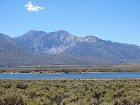
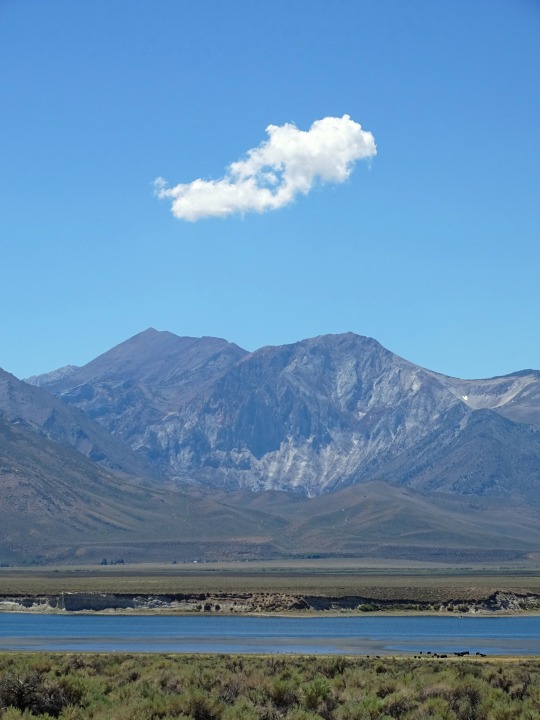
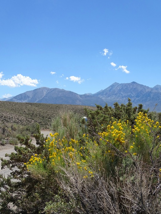
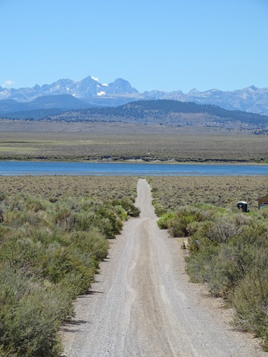
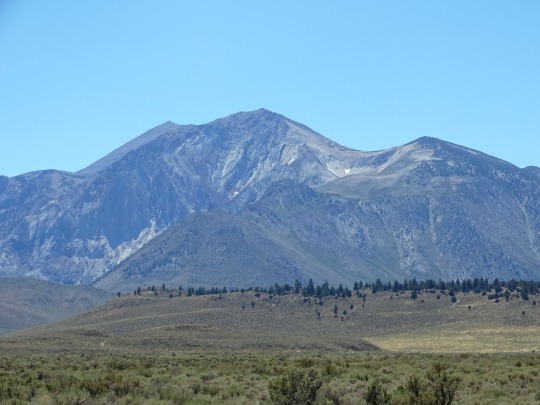
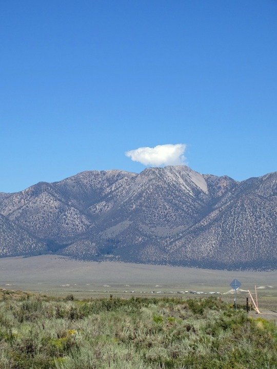
Mono County, CA (No. 4)
U.S. Route 395 (US 395) is a United States Numbered Highway, stretching from Hesperia, California to the Canadian border in Laurier, Washington. The California portion of US 395 is a 557-mile (896 km) route which traverses from Interstate 15 (I-15) in Hesperia, north to the Oregon state line in Modoc County near Goose Lake. The route clips into Nevada, serving the cities Carson City and Reno, before returning to California.
Prior to truncation, US 395 served the metropolitan areas of San Diego, Riverside, and San Bernardino. The highway serves as a connection to the Los Angeles area for the communities of the Owens Valley, Mammoth Lakes and Mono Lake. The highway is used as an access route for both the highest point in the contiguous United States, Mount Whitney, and the lowest point in North America, Death Valley.
The corridor has been used since the California gold rush, and before numbering was known by several names including El Camino Sierra.
Source: Wikipedia
#Mono County#North Landing#Highway 395#California#summer 2022#travel#original photography#vacation#tourist attraction#landmark#landscape#countryside#USA#Sierra Nevada#mountains#flora#animal#faune#nature#street scene#US 395#US Route 395#Crowley Lake#lake shore#cows#cattle#grazing
10 notes
·
View notes
Text
Coming This October On FishRPG...
Somewhat surprisingly, the dice have demanded that I revisit the western aesthetic after only a month. Though instead of a weird west, I'm going to be focusing on a more historical western without magic. And I'm also going to be switching things up and focusing on fleshing out pieces of a singular fictional settlement instead of doing a broader area of larger areas. After much consultation with the dice, let me introduce you to
The Town of Bowman
Bowman is a frontier town in southern Oregon, right on the border with California. It was founded in 1852 back when the area was still the Oregon Territory. It was founded as hub for emigrants who were leaving Oregon and flocking to the Applegate Trail during the California Gold Rush.
Geographically, the town is on the Klamath River, just southwest of where Altamont would be located a few years later. The town would eventually fail and its population would relocate to Altamont and Klamath Falls, though this didn't happen until the turn of the 20th century. For setting purposes, the version of Bowman I'm looking at is how it would have looked during 1872-1873. During this specific time frame, Bowman is located in Wasco county, though that specific area will be reassigned as Lake County in 1874 and eventually turn into Klamath County in 1882.
Bowman's economy is at an inflection point during this period; its primary industry has been harvesting timber from ponderosa pines, but the clear cut areas have now given way to a thriving cattle ranching community. Exceptionally harsh winters in 1879 and 1889 would eventually destroy cattle operations, hastening the town's decline.
Rail activity in the area predates the Transcontinental Railroad. Currently the town is served by a branch line that connects to the larger Oregon and California (O&C) Railroad. The branch line runs east-west, bisecting the town.
To the north of Bowman is the Klamath Indian Reservation, established in 1864. The Reservation is home to three tribes: Klamath, Modoc, and the Yahooskin Band of Northern Paiute Indians. Unfortunately, the town's location puts it the crossfire of a conflict known as the Modoc War that is currently ongoing.
------------
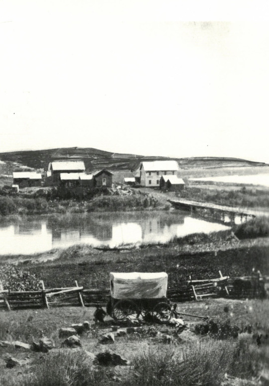
Header image taken from the Oregon Encyclopedia, and depicts George Nurse's home in Linkville, which would eventually become Klamath Falls.
2 notes
·
View notes
Photo

Weather: Pacific Northwest
Report generated at 2025-05-17 05:00:07.865825-07:00 using satellite imagery and alert data provided by the National Weather Service.
Wind Advisory
WA:
Kittitas Valley
ID:
Camas Prairie
Southern Twin Falls County
Upper Treasure Valley
Western Magic Valley
CA:
Antelope Valley
Apple and Lucerne Valleys
Eastern Mojave Desert, Including the Mojave National Preserve
Eastern Sierra Slopes of Inyo County
Imperial County Southwest
Imperial County West
Imperial Valley
Indian Wells Valley
Interstate 5 Corridor
Las Vegas Valley
Lincoln County
Mojave Desert
Morongo Basin
Northeast Clark County
Northwest Deserts
Northwest Plateau
Owens Valley
Riverside County Mountains
Salton Sea
San Bernardino County Mountains
San Diego County Deserts
San Diego County Mountains
San Gorgonio Pass Near Banning
San Luis Obispo County Beaches
San Luis Obispo County Inland Central Coast
Santa Barbara County Central Coast Beaches
Santa Barbara County Inland Central Coast
Santa Barbara County Southeastern Coast
Santa Barbara County Southwestern Coast
Santa Ynez Mountains Eastern Range
Santa Ynez Mountains Western Range
Santa Ynez Valley
Sheep Range
Southern Clark County
Southern Salinas Valley
Spring Mountains-Red Rock Canyon
Western Antelope Valley Foothills
Western Mojave Desert
White Mountains of Inyo County
NV:
Eastern Mojave Desert, Including the Mojave National Preserve
Lake Mead National Recreation Area
Las Vegas Valley
Lincoln County
Morongo Basin
Northeast Clark County
Northwest Deserts
Northwest Plateau
Sheep Range
Southern Clark County
Spring Mountains-Red Rock Canyon
Western Clark and Southern Nye County
Special Weather Statement
OR:
Central and Eastern Lake County
Modoc County
Northern and Eastern Klamath County and Western Lake County
CA:
Central and Eastern Lake County
Modoc County
Northern and Eastern Klamath County and Western Lake County
Winter Storm Watch
ID:
Eastern Lemhi County
Southern Clearwater Mountains
Western Lemhi County
Frost Advisory
ID:
Arco/Mud Lake Desert
Lower Snake River Plain
Shoshone/Lava Beds
Upper Snake River Plain
Lake Wind Advisory
CA:
Greater Lake Tahoe Area
NV:
Greater Lake Tahoe Area
Western Nevada Basin and Range including Pyramid Lake
High Wind Warning
CA:
Mojave Desert Slopes
Air Quality Alert
CA:
Coachella Valley
Imperial County Southwest
Imperial County West
Imperial Valley
San Gorgonio Pass Near Banning
Fire Weather Watch
CA:
Central Sacramento Valley including Glenn/Colusa/Yuba/Northern Sutter/Butte County Below 1000 Ft
Eastern Delta
Northern Sacramento Valley to Southern Tehama County Line Below 1000 Ft
Northern San Joaquin Valley in San Joaquin and Stanislaus Counties Below 1000 ft - Excludes the Delta
Southern Sacramento Valley In Yolo/Sacramento/Far Western Placer/Southern Sutter and Solano County Below 1000 Ft - Excludes the Delta
0 notes
Text
Exploring Business Opportunities with a Modoc Liquor License: Your Guide to Growth & Success
When opening or expanding a business that includes selling alcohol, getting the proper permit is one of the most significant steps. For business owners and entrepreneurs who wish to invest in a Modoc liquor license, the process might appear complicated—but it doesn't have to be. With proper support and education, the way to owning a Modoc liquor license can be easy, thoughtful, and lucrative.

Why a Modoc Liquor License Modoc is a best-kept secret in northeastern California, providing wide open spaces, natural scenery, and a tranquil lifestyle. With a small but active population and increasing appreciation for local hospitality, there is genuine potential for small business owners within the region. From quaint restaurants, country bars, boutique groceries, and even local breweries and wineries to visit, each of these types of businesses requires proper licensing.
Obtaining a Modoc liquor license is your gateway to selling or serving alcohol legally. Whether you are setting up a local wine store or a casual dining place for locals and visitors, the appropriate Modoc liquor license is a prerequisite. Because they are not available in abundance, procuring one is competitive in nature, and this makes advance planning all the more crucial.
Types of Modoc Liquor Licenses Knowing which kind of Modoc liquor license is most suitable for your business model is the first step to making the proper decision:
Type 20: Ideal for gas stations and convenience stores, this permit entails the sale of beer and wine for off-premise consumption.
Type 21: More flexible, this permit includes the sale of beer, wine, and spirits for off-premise consumption most suitable for liquor stores and markets.
Type 41: Permits beer and wine sales at restaurants, as long as food service is a major aspect of the business.
Type 47: Entitles the sale of all alcoholic beverages at restaurants where food is a main emphasis.
Type 48: For bars and nightclubs that want to serve a full line of alcoholic drinks to customers 21 and above.
Selecting the correct Modoc liquor license is determined by the type of business you run and how you intend to serve your customers.
The Cost of a Modoc Liquor License The cost of a Modoc liquor license will depend on the type you require and how much demand is present at the moment. A beer and wine license could begin in a few thousand dollars, whereas an on-sale general license may exceed $100,000. As supply is restricted, it may prove difficult to locate a seller willing to bargain in good faith.
That's where professional assistance really pays off. With decades of permitting experience for alcoholic beverages, our staff assists clients in buying and selling a Modoc liquor license smoothly. We assist you through the process of pricing, negotiation, and legal documents so that you can keep your eyes on building your business.
What to Expect During the Transfer Process Transferring a Modoc liquor license is more than a buyer-seller agreement. Application submissions, public notices, background checks, and managing escrow are part of the process. To miss one step could set your timeline back significantly.
We help make the process easy to understand and simple to follow. From beginning to end, you’ll have step-by-step guidance through the Modoc liquor license transfer journey. Our goal is to make your experience smooth, stress-free, and successful.
The Future of Business in Modoc With more and more visitors discovering Modoc's natural wonders ranging from the Lava Beds to Tule Lake the demand for high-quality food, beverage, and recreational experiences is increasing. Locally, appreciation for local wines and craft beers is on the rise as well, making now the perfect moment to purchase a Modoc liquor license.
Whether you're a new business owner or growing your current business, having the right Modoc liquor license is key to bringing your dream to life. And with a smaller business community, every fantastic new place shines and gets attention.
Buy or Sell a Modoc Liquor License Whether you are opening a small restaurant, neighborhood bar, or specialty store, possessing the correct Modoc liquor license is imperative. If you are ready to buy or sell a Modoc liquor license, our knowledgeable team is here to assist you in navigating the process with care and confidence. We match purchasers with willing sellers and walk you through each process from application to ultimate transfer. We will remove the headache of acquiring your Modoc liquor license so you can concentrate on developing a successful business within this lovely and expanding region.
Get Ready to Take the First StepIf you're thinking about purchasing or selling a Modoc liquor license, let's discuss. Our knowledgeable staff will guide you through your choices and identify a solution that suits you. With the proper advice, obtaining a Modoc liquor license can be the start of something wonderful.
Visit here to find available options and proceed with the next step of getting or selling a liquor license today!
#ModocLiquorLicense#LiquorLicenseForSale#BuyLiquorLicense#SellLiquorLicense#CaliforniaLiquorLicense#BusinessGrowth#AlcoholPermit#AlcoholLicense
0 notes
Text
Events 1.17 (before 1946)
38 BC – Octavian divorces his wife Scribonia and marries Livia Drusilla, ending the fragile peace between the Second Triumvirate and Sextus Pompey. 1362 – Saint Marcellus' flood kills at least 25,000 people on the shores of the North Sea. 1377 – Pope Gregory XI reaches Rome, after deciding to move the Papacy back to Rome from Avignon. 1524 – Giovanni da Verrazzano sets sail westward from Madeira to find a sea route to the Pacific Ocean. 1562 – France grants religious toleration to the Huguenots in the Edict of Saint-Germain. 1595 – During the French Wars of Religion, Henry IV of France declares war on Spain. 1608 – Emperor Susenyos I of Ethiopia surprises an Oromo army at Ebenat; his army reportedly kills 12,000 Oromo at the cost of 400 of his men. 1641 – Reapers' War: The Junta de Braços (parliamentary assembly) of the Principality of Catalonia accepts the proposal of establishment of the Catalan Republic under French protection. 1648 – England's Long Parliament passes the "Vote of No Addresses", breaking off negotiations with King Charles I and thereby setting the scene for the second phase of the English Civil War. 1649 – The Second Ormonde Peace creates an alliance between the Irish Royalists and Confederates during the War of the Three Kingdoms. The coalition was then decisively defeated during the Cromwellian conquest of Ireland. 1773 – Captain James Cook leads the first expedition to sail south of the Antarctic Circle. 1781 – American Revolutionary War: Battle of Cowpens: Continental troops under Brigadier General Daniel Morgan defeat British forces under Lieutenant Colonel Banastre Tarleton at the battle in South Carolina. 1799 – Maltese patriot Dun Mikiel Xerri, along with a number of other patriots, is executed. 1811 – Mexican War of Independence: In the Battle of Calderón Bridge, a heavily outnumbered Spanish force of 6,000 troops defeats nearly 100,000 Mexican revolutionaries. 1852 – The United Kingdom signs the Sand River Convention with the South African Republic. 1873 – A group of Modoc warriors defeats the United States Army in the First Battle of the Stronghold, part of the Modoc War. 1885 – A British force defeats a large Dervish army at the Battle of Abu Klea in the Sudan. 1893 – Lorrin A. Thurston, along with the Citizens' Committee of Public Safety, led the Overthrow of the Kingdom of Hawaii and the government of Queen Liliʻuokalani. 1899 – The United States takes possession of Wake Island in the Pacific Ocean. 1903 – El Yunque National Forest in Puerto Rico becomes part of the United States National Forest System as the Luquillo Forest Reserve. 1904 – Anton Chekhov's The Cherry Orchard receives its premiere performance at the Moscow Art Theatre. 1912 – British polar explorer Captain Robert Falcon Scott reaches the South Pole, one month after Roald Amundsen. 1915 – Russia defeats Ottoman Turkey in the Battle of Sarikamish during the Caucasus Campaign of World War I. 1917 – The United States pays Denmark $25 million for the Virgin Islands. 1918 – Finnish Civil War: The first serious battles take place between the Red Guards and the White Guard. 1920 – Alcohol Prohibition begins in the United States as the Volstead Act goes into effect. 1941 – Franco-Thai War: Vichy French forces inflict a decisive defeat over the Royal Thai Navy. 1943 – World War II: Greek submarine Papanikolis captures the 200-ton sailing vessel Agios Stefanos and mans her with part of her crew. 1944 – World War II: Allied forces launch the first of four assaults on Monte Cassino with the intention of breaking through the Winter Line and seizing Rome, an effort that would ultimately take four months and cost 105,000 Allied casualties. 1945 – World War II: The Vistula–Oder Offensive forces German troops out of Warsaw. 1945 – The SS-Totenkopfverbände begin the evacuation of the Auschwitz concentration camp as the Red Army closes in. 1945 – Swedish diplomat Raoul Wallenberg is taken into Soviet custody while in Hungary; he is never publicly seen again.
0 notes
Video
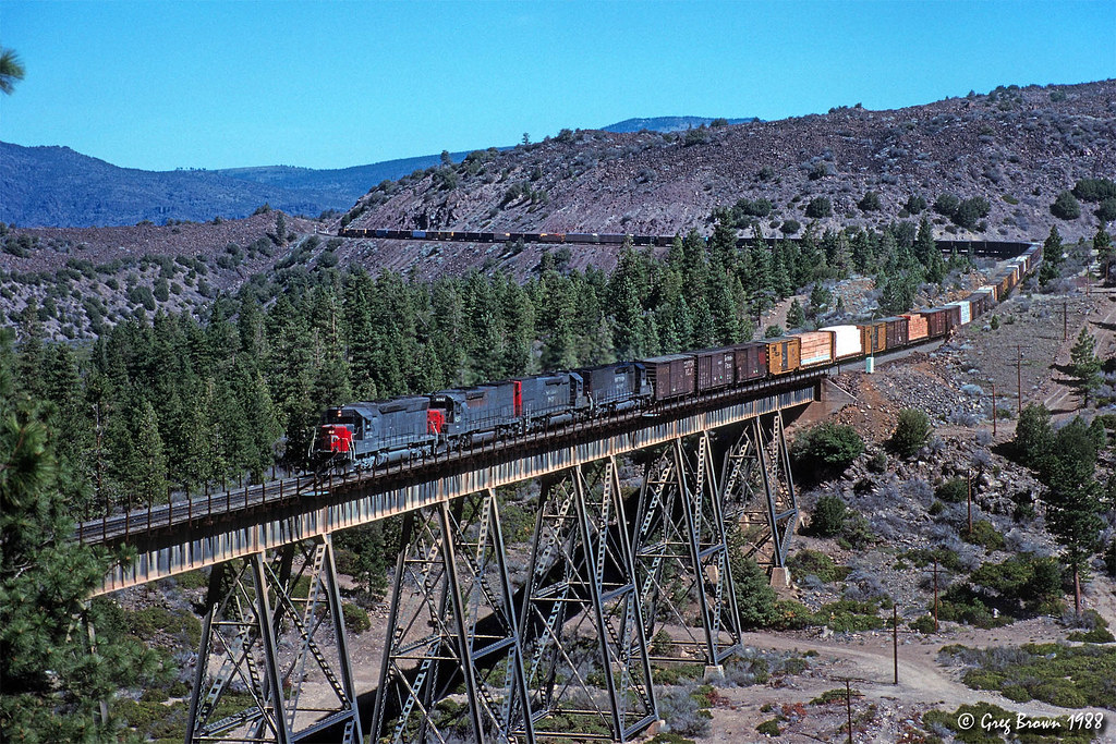
The Moran Brothers last hurrah by Greg Brown Via Flickr: Flooding in late December 1996 put the Shasta Route and the Feather River Canyon out of service. Aside from going to Salt Lake, the only way to get up and down the west coast by rail was a detour over Donner Pass and the Modoc Line. For a couple of weeks, the Modoc Line was busier than it had ever been. In this image, an eastbound (southbound) passes a train parked in Moran siding. Most of the detour trains ran in fleets of five or six at a time, generally at speeds of 15-20 MPH. Any railfans that were there experienced the ultimate Modoc turkey shoot. Alas, on July 1, 1997, Union Pacific closed the Modoc for good as a through route. The rails were removed a few years later.
#Southern Pacific#Union Pacific#SP#UP#Modoc Line#Lassen County#NCO#Detour#Desert#Trains#Railroads#California#Northern California#EMD#SD40T-2#SD45
28 notes
·
View notes