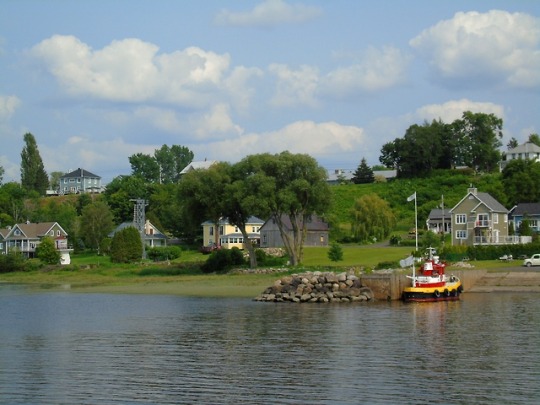
#Lake Pohénégamook
Photo


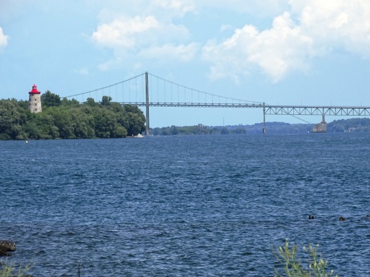


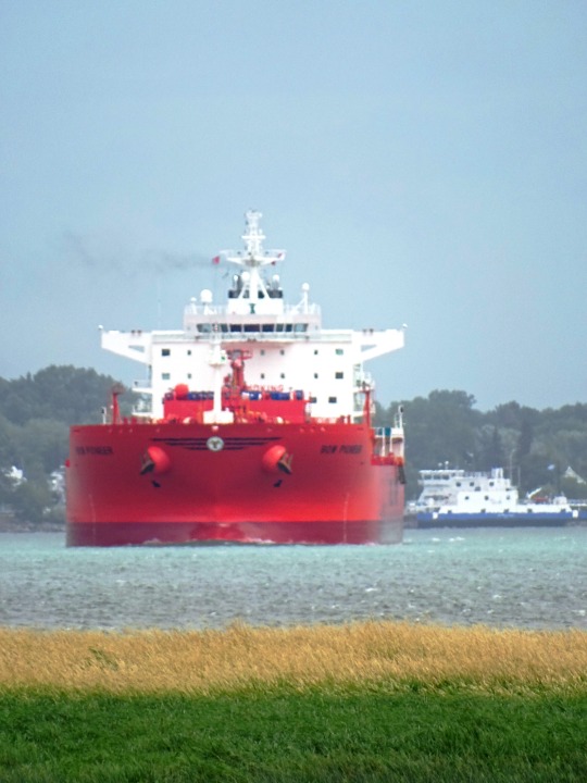
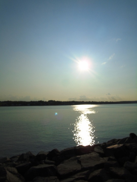
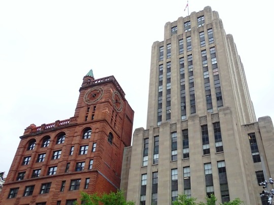
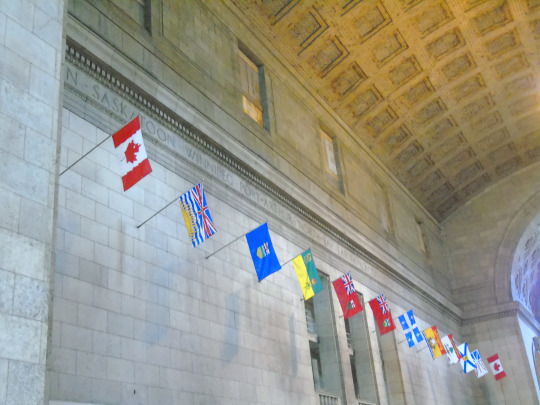
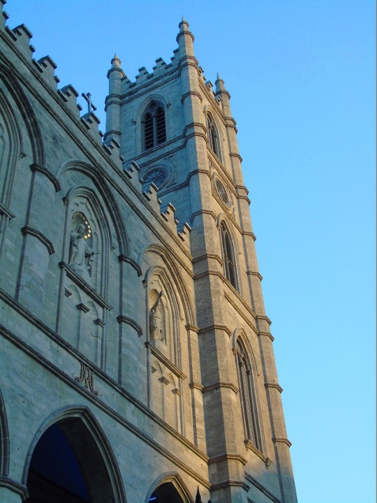
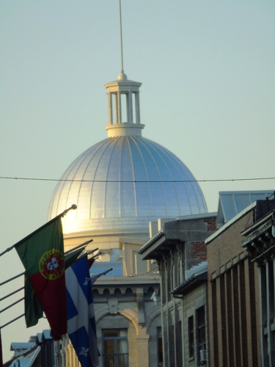
The Webster–Ashburton Treaty, signed August 9, 1842, was a treaty that resolved several border issues between the United States and the British North American colonies (the region that became Canada).
#Ogdensburg#Prescott#Ogdensburg–Prescott International Bridge#Ontario#Rainbow Bridge#Niagara Falls#New York#Lake Pohénégamook#Québec#Estcourt Station#Maine#on board a plane#Soo Locks#original photography#Sault Ste. Marie International Bridge#The Sault Ste. Marie Canal National Historic Site#Webster–Ashburton Treaty#9 August 1842#anniversary#Canadian history#US history#Horseshoe Falls#tourist attraction#cityscape#landscape
3 notes
·
View notes
Text
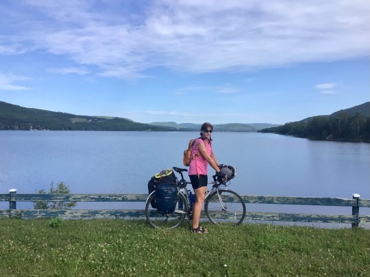
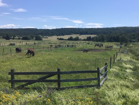
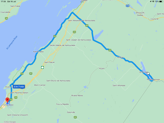
Day 46 July 16 Pohénégamook- La Pocatiére 108kms
It’s ok, I don’t know how to pronounce the names of these towns either.
Another beautiful sunny day! At the spa place they pack everybody’s breakfast into baskets and leave them at your door. I didn’t want to wait for mine so I went upstairs and got it. It looked like they thought there were two people in my room so I had plenty of extras to take with me.
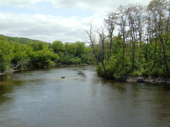
It was only a few kilometres backtracking this morning around the river….or is it a lake. Just so you don’t have another boring river picture I asked a lady who was standing nearby to take a photo with me in it. Not necessarily better but maybe a bit different to usual. Shirley looks good anyway.
The first 10kms were fairly unmemorable but the next 10 involved a lot of climbing. Let’s not talk about the ridiculous google profile!. It was quite hot cycling uphill for such a long time and I thought I was going to be in for a scorching hot day. I wasn’t, it was just the climb.
Next I had about 5kms of flat riding, a couple of hills, then a great downhill run nearly all the way to the St Lawrence River.
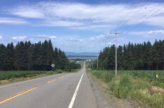
Here I turned 90° to the left. I was aiming for Saint-Andre where I was hoping for a coffee. It was really pretty scenery with some nice farmland to look at..
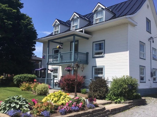
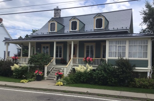
There were plenty of cyclists going the other way so I figured that if there were cyclists , there would be a cafe. Sure enough, Saint-Andre was a beautiful little town with immaculate houses along the roadside.
Yes, a building with a sign out the front and a bicycle each side of the door. It had to be!!
It really just looked like a house but I went in and was able to get a good cup of coffee and somewhere to sit. There was no cake and no wifi. The cake didn’t matter because I had a freshly baked blueberry muffin stashed in my backpack from breakfast. ( I know they were fresh because I saw them being baked last night when I went to heat up dinner). Once again I couldn’t get my mobile data to work but I could be out of credit.
I didn’t hurry because I had completed 58kms fairly quickly in the morning and thought the next leg would be equally fast. Silly me! I had tried to block out the idea that there might be a headwind, the prediction hadn’t looked too bad.
It wasn’t good! Because I was cycling across flat plains the wind hit quite hard. Looking at all the cyclists flying along in the other direction I wished them a lot of suffering on their return trip.
A lady on an e-bike went sailing past with her nose in the air. I wanted to call out to her that she was a dirty cheat but my words would have been snatched away by the wind so I soldiered on in silence.
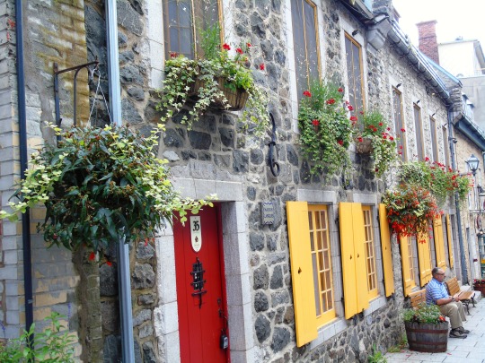
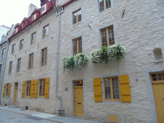
The next town was Kamouraska. It also had absolutely beautiful houses….all of them perfectly maintained with gorgeous window boxes full of colourful flowers.
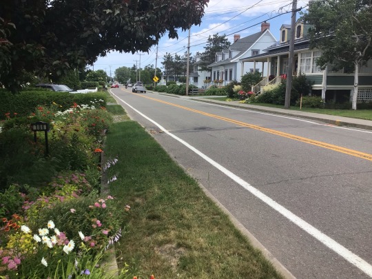
There were actually people about in the centre of town enjoying their Saturday. They must have been drinking because I don’t think these people eat anything.
It was easier riding through the built up towns, even with some hills, because the wind was blocked slightly.
Back out the through the open fields the struggle continued. On the outskirts of La Pocatiére I was fooled into going up a big hill to go through the town. I should have stayed on the road I was on because that’s where my accommodation is. Something different again!
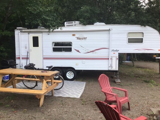
It’s actually a lot better than it looks. There is a shower and toilet inside and a pretty good kitchen. After checking in I wanted to go to Walmart on Shirley. However, after cycling about 2/3rds of the way there I decided it was too far and turned back. There was an ice-cream/fruit and veg place just up the road from my caravan so I stopped there for some broccoli and delicious strawberries which I couldn’t resist. There is a McDonald’s, a Tim Hortons and some other restaurant just up the road but I am going to make something amazing with a boiled egg ( breakfast), 2 cheese sticks ( breakfast again) some French bread I found in the cafe, some herb and garlic butter I accidentally bought yesterday instead of plain butter, and the broccoli.
Better get to it!
0 notes
Text


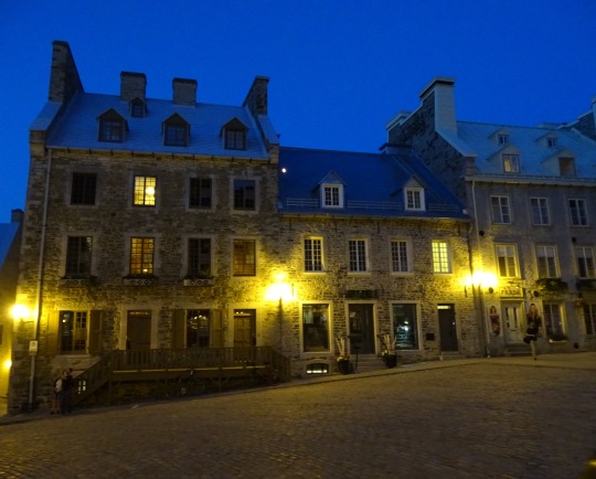


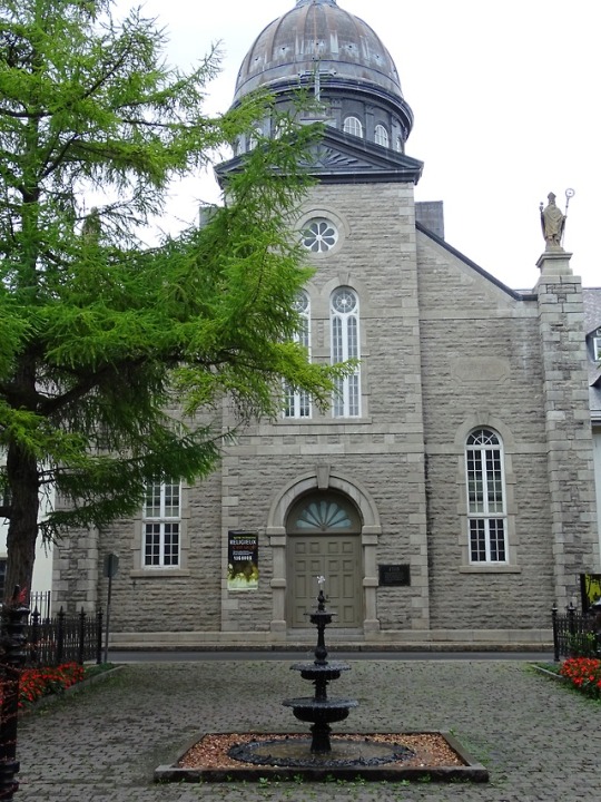
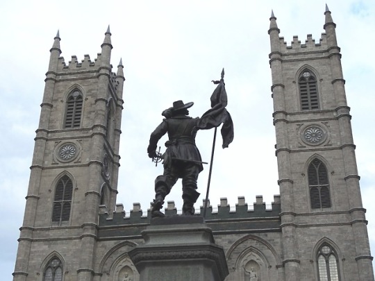
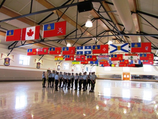
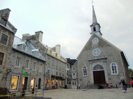
The Treaty of Saint-Germain-en-Laye was signed on March 29, 1632. It returned New France (Quebec, Acadia and Cape Breton Island) to French control after the English had seized it in 1629.
#Lake Pohénégamook#Treaty of Saint-Germain#signed#Québec#returned#French control#landscape#countryside#cityscape#Quebec City#Montréal#architecture#photography#Canada#travel#summer 2015#original photography#vacation#tourist attraction#2018#landmark#Trois-Rivières#Treaty of Saint-Germain-en-Laye#29 March 1632#anniversary#Canadian history#Sydney#Cape Breton Island#Nova Scotia#Bras d'Or Lake
1 note
·
View note
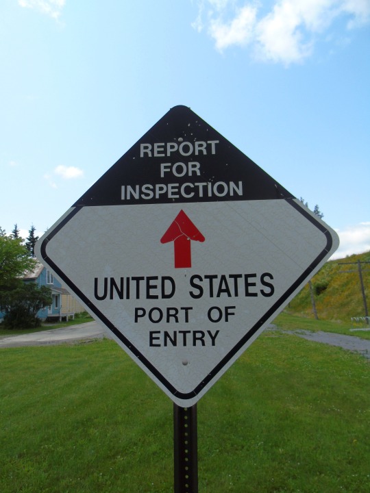
Photo


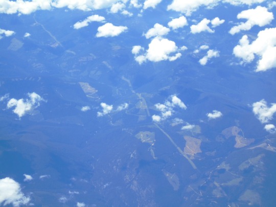
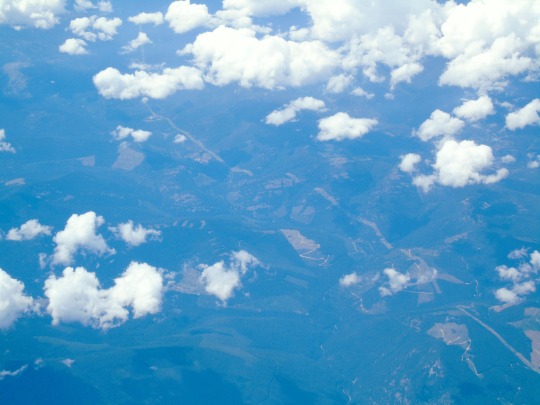
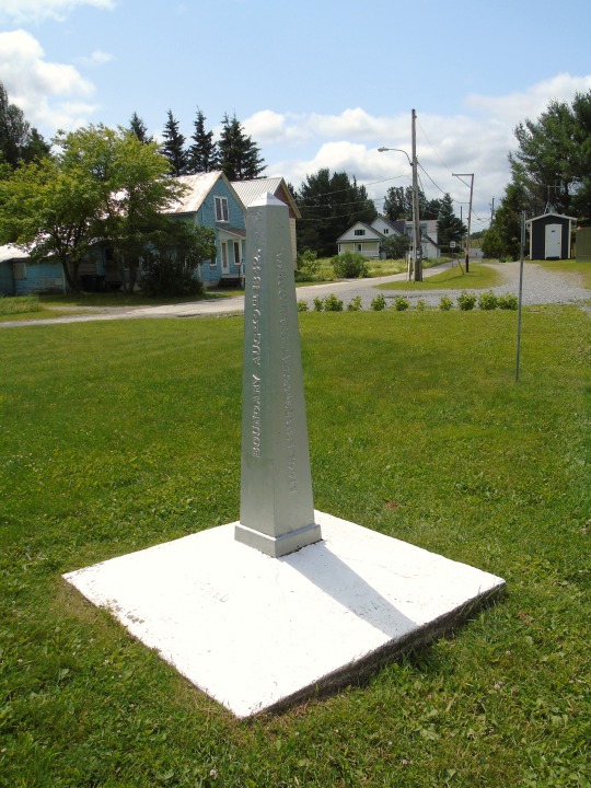
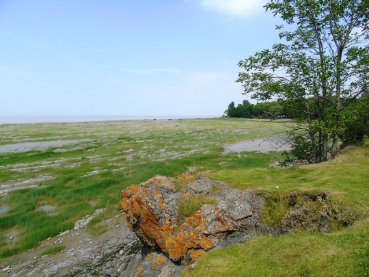
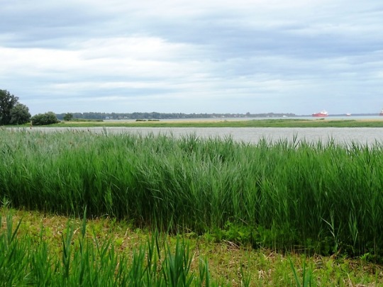
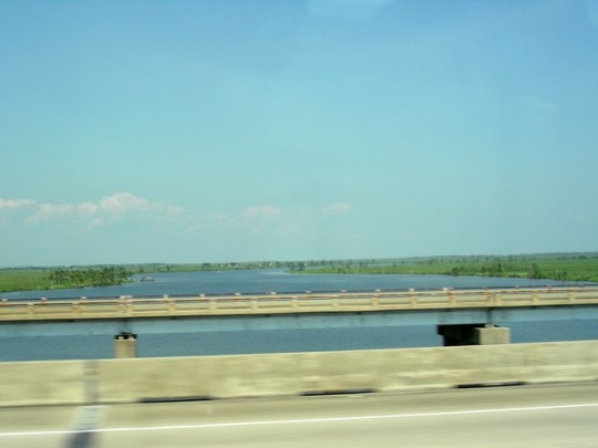
The Oregon Treaty (June 15, 1846) established the 49th parallel as the border between the United States and Canada, from the Rocky Mountains to the Strait of Juan de Fuca.
#Lake Pohénégamook#International Bridge#Maine#Québec#Canada#USA#travel#vacation#summer 2015#2017#original photography#US-Canada border#Parc de la Frontière#Estcourt Station#landscape#countryside#flying west#on board#Oregon Treaty#15 June 1846#US history#Canadian history#49th parallel#that's not the 49th parallel here of course
0 notes
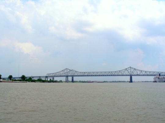
Photo
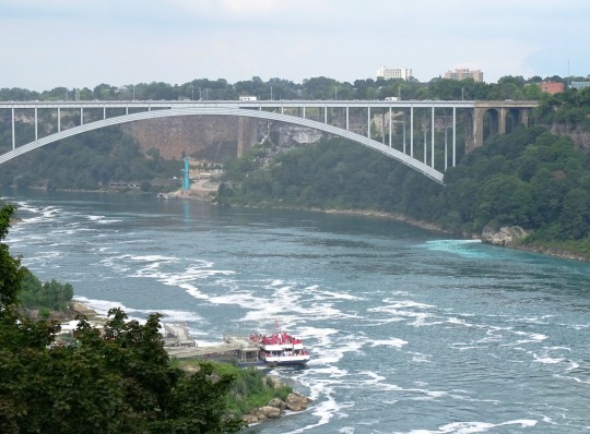


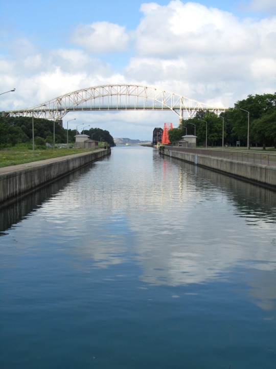
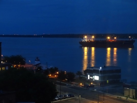
The Webster–Ashburton Treaty, signed August 9, 1842, was a treaty that resolved several border issues between the United States and the British North American colonies (the region that became Canada).
#Webster–Ashburton Treaty#9 August 1842#180th anniversary#US history#Canadian history#travel#on a plane#Canada–United States border#USA#Canada#original photography#Rainbow Bridge#Niagara Falls#Ontario#New York#Parc de la Frontière#Québec#Maine#Estcourt Station#Lake Pohénégamook#Ogdensburg-Prescott International Bridge#Soo Locks#The Sault Ste. Marie Canal National Historic Site#St. Lawrence River#Ogdensburg#tourist attraction
1 note
·
View note
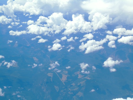
Photo


The Oregon Treaty (June 15, 1846) established the 49th parallel as the border between the United States and Canada, from the Rocky Mountains to the Strait of Juan de Fuca.
#Oregon Treaty#15 June 1846#49th parallel#USA - Canada border#travel#Canada–United States border#summer 2017#2015#anniversary#US history#original photography#landscape#on board#in air#Parc de la Frontière#British Columbia#Washington#Québec#Lake Pohénégamook#International bridge#USA#Canada#BC#tourist attraction
0 notes
Photo
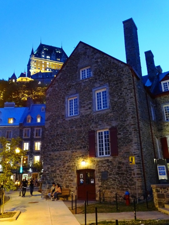
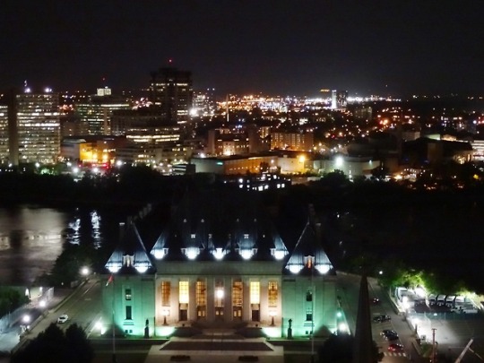
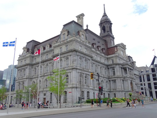
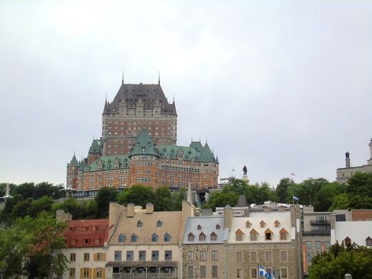
The Treaty of Saint-Germain-en-Laye was signed on March 29, 1632. It returned New France (Quebec, Acadia and Cape Breton Island) to French control after the English had seized it in 1629.
#Treaty of Saint-Germain-en-Laye#29 March 1632#New France#French control#Québec City#summer 2018#cityscape#original photography#anniversary#history#Canada#travel#vacation#Montréal#2015#cape breton island#landscape#st lawrence river#Fleuve Saint-Laurent#Lake Pohénégamook#Trois-Rivières#Nova Scotia#gatineau#Ottawa River#night shot#evening#Supreme Court of Canada
1 note
·
View note
Photo
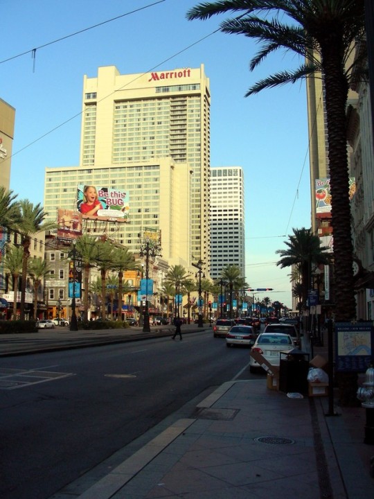
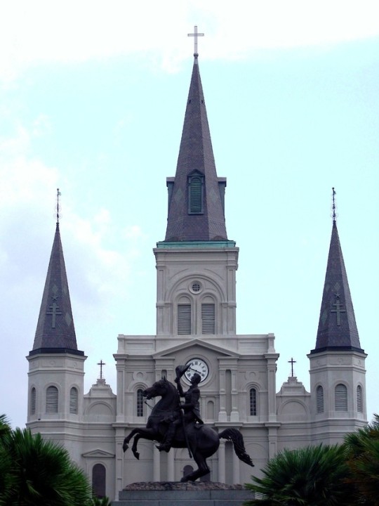
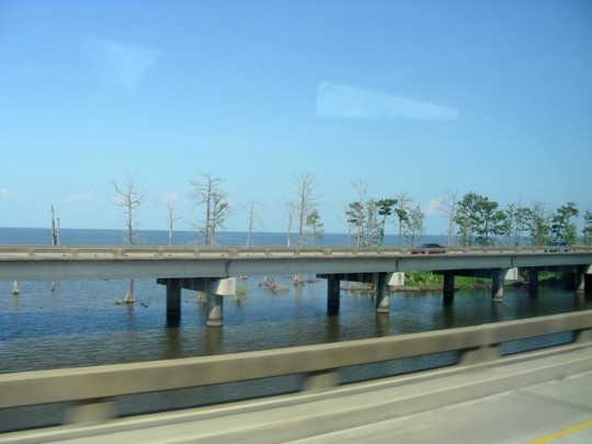
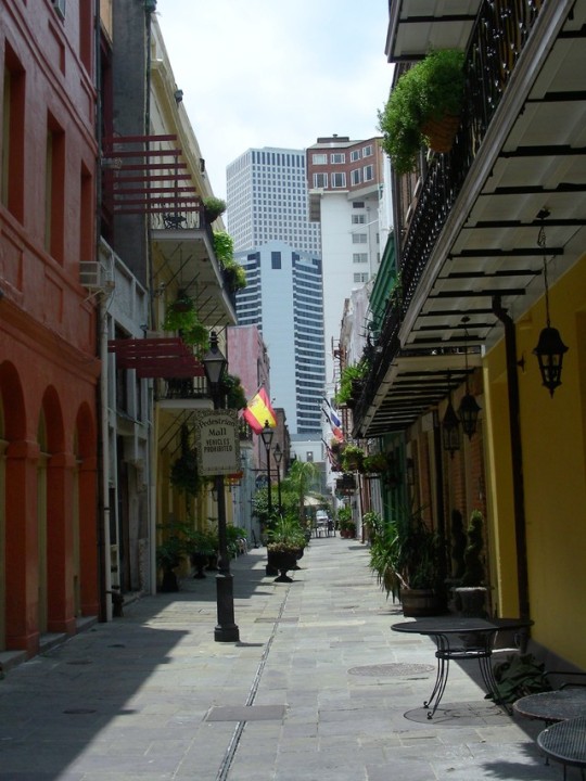
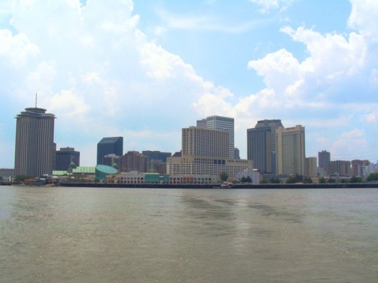
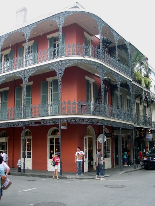
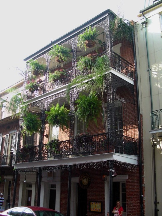
The Territory of Orleans becomes the 18th U.S. state under the name Louisiana on April 30, 1812.
#Territory of Orleans#18th U.S. state#Louisiana#30 April 1812#anniversary#105th anniversary#us history#Lake Pohénégamook#interstate#Canal Street#Exchange Place#Saint Louis Cathedral#Crescent City Connection#skyline#architecture#bridge#mississippi river#water#muddy#french quarter#bacony#cityscape#landmark#New Orleans#usa#summer 2009#photography#photoset#travel
0 notes
Photo
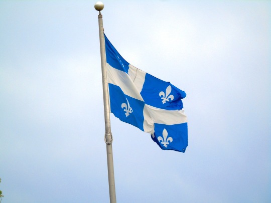
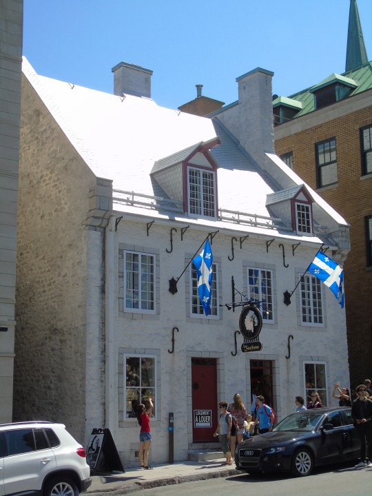
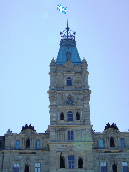
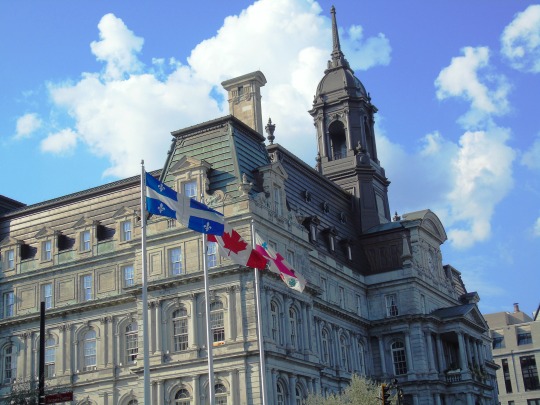
The Flag of Quebec is adopted and flown for the first time over the National Assembly of Quebec on January 21, 1948. The day is marked annually as Québec Flag Day.
#Flag of Quebec#adopted#21 January 1948#Québec Flag Day#international bridge#Lake Pohénégamook#Fleurdelisé#Quebec City#Parliament Building#National Assembly of Quebec#anniversary#history#travel#Montréal City Hall#flag of canada#maple leaf#l'Unifolié#montreal#union station#toronto#RCMP Heritage Centre#rcmp depot#canada#photography#photoset#cityscape#landscape#rcmp#mounties
0 notes
Photo

Treaty of Saint-Germain is signed returning Quebec to French control after the English had seized it on March 29, 1629.
#Lake Pohénégamook#Treaty of Saint-Germain#signed#Quebec#returned#French control#29 March 1629#anniversary#one day late#Lotbinière#st lawrence river#Fleuve Saint-Laurent#water#landscape#countryside#cityscape#Quebec City#montreal#Basilique Notre-Dame de Montréal#place royale#Notre Dame des Victoires#Bonsecours Market#I'll be back this summer#architecture#photography#canada#travel#summer 2015#vacation#road trip
1 note
·
View note
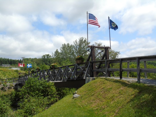
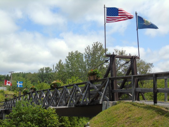
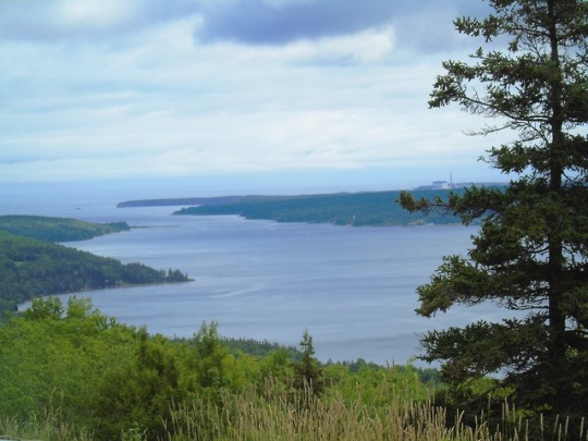
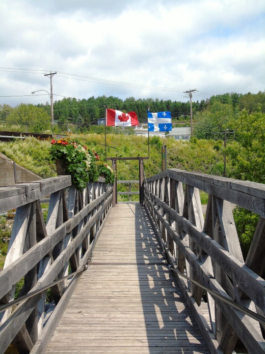
Photo
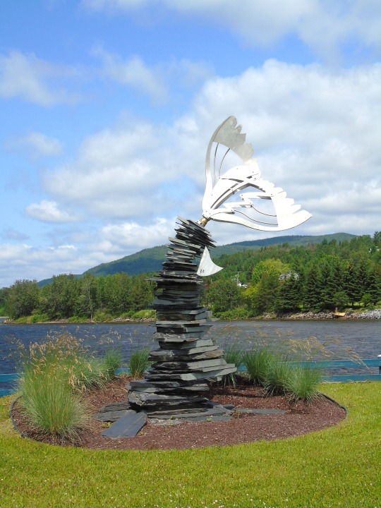
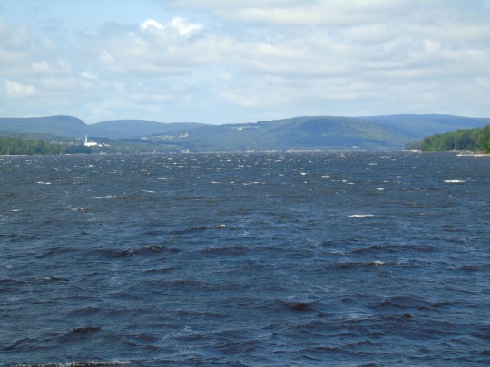


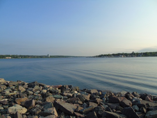
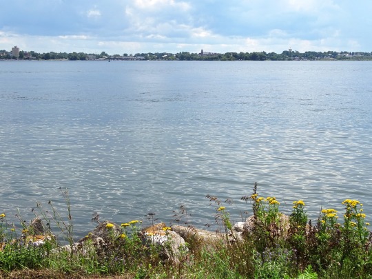
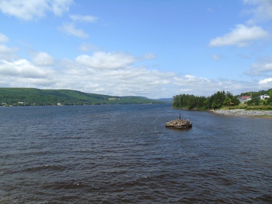
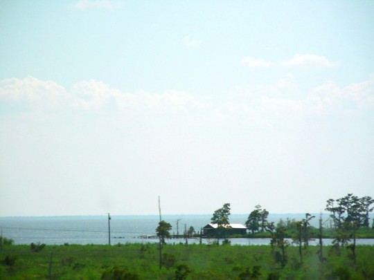
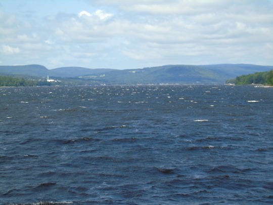
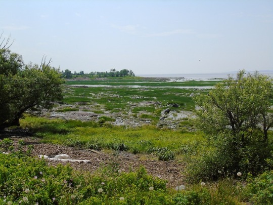
Lake Pohénégamook, QC
Lake Pohenegamook (Lac Pohénégamook) is a Canadian lake located in southeastern Quebec immediately north of the International Boundary with Maine (at Aroostook County).
Oriented north-south, the lake is nestled in a valley in the Notre Dame Mountains, part of the Appalachian Range. Route 289 runs along the southern and western shores through the municipality of Pohénégamook - an amalgamation of several villages.
The National Transcontinental Railway constructed its mainline from Winnipeg to Moncton along the western and southern shores in 1912 - today this line forms the mainline of CN Rail between Halifax and Montreal.
The community of Estcourt Station, Maine (the northernmost point in New England) is located immediately south of the CN railway line at the lake's southern shore.
Source: Wikipedia
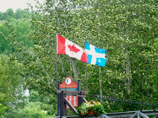
Pohénégamook, Quebec (pop. 2940) is a Canadian town on the Canada–United States border in Quebec's Témiscouata Regional County Municipality.
The town shares the border with Estcourt Station, Maine, the northernmost point in New England.
As of 2006, Pohénégamook had 2940 people, down -5.1% from the last census in 2001. The town is named after Lake Pohenegamook and is situated on the lake's southern and western shores.
Pohénégamook was amalgamated with the formerly independent communities of Saint-Pierre d'Estcourt, Saint-Éleuthère, Village-Blier and Saint-David-de-Sully on October 23, 1973.
Source: Wikipedia
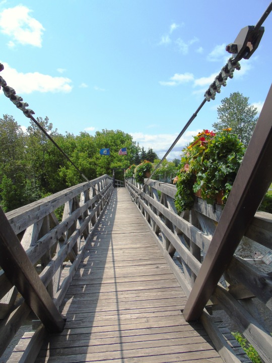
#tale of tail#Lake Pohénégamook#Lac Pohénégamook#Pohénégamook#international bridge#parc de la frontière#quebec#canada#Estcourt Station#Maine#usa#Flag of Canada#Flag of Quebec#Fleurdelisé#Flag of the United States#Stars and Stripes#Flag of Maine#lake#waves#bridge#wooden bridge#timber bridge#kelly rapids#canada-usa border#right through the bridge#that means i was in the usa last year#my first time in maine#outdoors#exterior#landscape
0 notes
Last Seen Blogs

kotekenobii
max! c’mere!

pasajero194
Sin título

kf6iva
A little bit of nature

summerskinnyx
Get skinny bitch
andreialexei13-blog
PROUD AKONG BICOLANO