#nollimap
Explore tagged Tumblr posts
Visit Tumblr Blog
Explore Tumblr blogs with no restrictions, modern design and the best experience.
Last Seen Tumblr Blogs


Fun Fact
Tumblr is available in 18 languages.
Text

Echoes of Urban Dreams: Berlin and Rome in Architectural Narratives
In Marco Polo's vivid narrative, he wove tales of two cities, Berlin and Rome, each with its own architectural dreams and aspirations. Berlin, with its divided past symbolized by the Berlin Wall, grappled with the dichotomy between privacy and security. Meanwhile, Rome, immortalized by Giambattista Nolli's iconic map, embraced the concept of public space, declaring it to the inhabitants with each carefully drawn line.
As Marco Polo continued his exploration, he marvelled at the Nolli Map of Rome, the envy of all cities, with its meticulous delineation of public and private spaces. He pondered the significance of Nolli's reorientation of the city to the magnetic north, a symbolic gesture that mirrored Rome's embrace of transparency and openness.
In Berlin, the echoes of the past whispered through the cracks of the Berlin Wall, reminding its inhabitants of the struggles for freedom and unity. Yet amidst the division, there lingered a yearning for connection, a desire to bridge the gaps and forge new paths towards unity.
Through Marco Polo's eyes, the cities of Berlin and Rome became intertwined in a quest for architectural enlightenment. Berlin sought to learn from Rome's embrace of public space, while Rome looked to Berlin's resilience in the face of adversity. Together, they embarked on a journey of exploration and discovery, each seeking to fulfil their architectural dreams amidst the tapestry of history and urban fabric.
#NolliMap#UrbanHistory#ArchitecturalNarratives#BerlinRomeConnections#CityPlanning#HistoricalMaps#UrbanDreams#BritishCouncil#architecture#berlin#area#london#acme#chicago#puzzle#edwin lutyens#massimoscolari#oma
0 notes
Video
instagram
Can you guess the cities ? Good luck . . Mapping by: @crimson_designstudio and @icon.axonometric . . ▪️Follow | @urbandesign.lab | ▪️Get featured | @urbandesign.lab |▪️DM us | @urbandesign.lab | . . #urbandesign #actofmapping #map #maps #mapa #mapeo #carta #carte #mapping #cartography #cartografia #cartographie #nolli #nollimap #figureground #figure #ground #landscape #design #urban #city #ciudad #territory #territorio #art #drawing #architecture #urbandesign #urbanism #urbanplanning #street (at Mapping) https://www.instagram.com/p/CDqbWxiJKAf/?igshid=rhehyclenasi
#urbandesign#actofmapping#map#maps#mapa#mapeo#carta#carte#mapping#cartography#cartografia#cartographie#nolli#nollimap#figureground#figure#ground#landscape#design#urban#city#ciudad#territory#territorio#art#drawing#architecture#urbanism#urbanplanning#street
1 note
·
View note
Text
Public Spaces on Private Buildings

Public spaces are essential areas for any healthy city. Whether they are parks or simple open spaces such as plazas, they bring comfort and joy to the citizens.
Nolli's famous map of Rome, illustrates the common areas and open spaces throughout the city and it demonstrates the connection between them in one of the world's most ancient cities. Roman urban planners clearly knew the necessity of public areas and common spaces for the city's inhabitants.
Public spaces provide relaxation areas to the people. An oasis of calm and tranquility in the middle of a chaotic urban environment. Where children can play, individuals can go out for a stroll, have a meal or a cup of coffee while watching the people passing by.
But can a private building function as a public space? An area, which can be used by the owners, users as well as the society and the community. The answer is yes.
A good architectural design is the one that not only designs for the building's users, but also takes the needs of the community and the city into consideration as well.
An example of such a building can be found in the Nordhavn district of Copenhagen. An area that is going under a massive development at this moment. New offices, apartments and shopping areas are sprouting in this neighborhood, right in the middle of this Scandinavian capital.
One of these new edifices is a multi-storey parking called Konditaget Lüders designed by local architecture firm JA-JA Architects. This building is not just a parking area as it was originally intended to be. But it is also a recreational space, equipped with, swings, box jumps, 60 meters sprint course, trampolines and climbing spiral.
The architect designed a 2,400 m² of urban space and playground on top of the building, where children and adults can enjoy the open space, the recreational areas and an amazing view of the harbor 24 meters above the street level.
Although this building had originally been planned to be a parking space, the architect and the planners, decided to make it part of the community. A building that can have multi functionality purpose.
This is a very fine example of when developers and architects can create a building that provides a space for the public. Public spaces can be beneficial for both the developers and the society. It can increase the land value for the developers, while it is providing an open space for the residents where they can escape from the noise and the hassle of the urban environment.


#urbanspaces#publicspaces#architecture#arkitektur#urbanplanning#copenhagen#København#JaJaArchitects#nollimap#KonditagetLüders#multistoryparking
3 notes
·
View notes

Photo

Ichnogdaphic Plan of San Francisco #nollimap #sanfranciscomap #ichnographic (at San Francisco, California) https://www.instagram.com/p/B0bpi1Dh4NhzJ8yAGIF8U6VcxZU5EQyRWAypW80/?igshid=1bvj7r6t2hcml
0 notes
Text
Figure and Ground
“If all grids are fields but not all fields are grids”, then do emerging elements make figure the field?
--
Figure positive spaces, solid, physically in space, figures
Ground spaces around figures, air, building gaps, open street, parks in the city
#stanallen#figureground#diagram#fieldconditions#moment#intensity#field#grid#squaregrid#nollimap#drawingwithlight#jim dine
0 notes

Photo

Slice of nolli map, this highlights the position and arrangement of the concrete installation
0 notes
Photo

Nolli Sections
Un-Sections are to sections what the Nolli map of Rome is to maps. This is a study of Nolli Sections, or detailed documentation of all space left behind in the city for the people. Negative space, slice by slice. What is the threshold between the positive and negative space made of? How much of that line belongs to which urban citizens?
0 notes
Photo
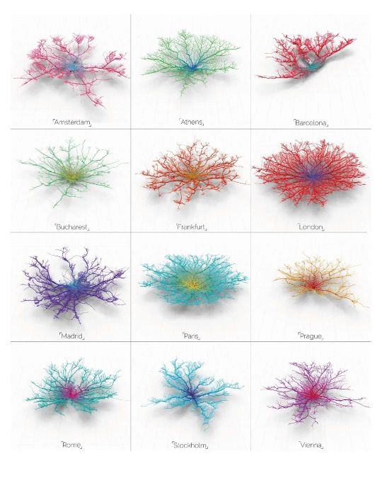
Follow @urbandesign.lab Coral Cities | An Ito Design Lab Concept "For the past six months I have been fascinated by the concept of making city networks look like living corals. The varying patterns of urban forms are inherently dictated by their road network; a complex, seemingly organic connection of links moving people across their city. Like branches of coral they have a pattern and a function, I chose to expose this pattern and manipulate it to become something far more conceptual. Read Less." Project by: @mapzilla_art (Craig Taylor) DM for credits/Removal. . . . . Photoshop Masterclass (2 Days Integrated Workshop) Session Details: • Day 1: 18th of February, 2023 | Urban Mapping • Day 2: 19th of February, 2023 | 3D Urban Visualization 🔗Registration link in the bio Limited Seats available! Early Bird registration ends on 12th February, 2023 . . . . #mapping #urbanplanning #GISmapping #urbandesign #nollimaps #citymapping #geospatial #geography #cartography #spatialdata #cityplanning #dataanalysis #sustainability #landscapearchitecture #smartcities #placemaking #geodata #opendata #mapmaking #urbanism #geospatialanalysis #urbanrenewal #3Dmapping #wayfinding #environmentaldesign #mobility #transportationplanning #urbanregeneration #publicspace #urbandesignlab (at United States) https://www.instagram.com/p/CorxtBRvDuB/?igshid=NGJjMDIxMWI=
#mapping#urbanplanning#gismapping#urbandesign#nollimaps#citymapping#geospatial#geography#cartography#spatialdata#cityplanning#dataanalysis#sustainability#landscapearchitecture#smartcities#placemaking#geodata#opendata#mapmaking#urbanism#geospatialanalysis#urbanrenewal#3dmapping#wayfinding#environmentaldesign#mobility#transportationplanning#urbanregeneration#publicspace#urbandesignlab
0 notes
Photo

Nolli style map highlighting buildings in Marfa used permanently by Donald Judd foundations.
0 notes